Thixendale, Vessey Hill, Wharram Percy, Court Dale and Water Dale
A walk in the wide open spaces of the Yorkshire Wolds from Thixendale to the deserted village of Wharram Percy
Google Maps Open Source Maps| Statistics and Files | ||
|---|---|---|
| Start: Thixendale | Distance: 8 miles (12.9 km) | Climbing: 293 metres |
| Grid Ref: SE842611 | Time: 3-4 hours | Rating: Moderate |
| GPX Route File | Google Earth File | About Wharram Percy |
| Statistics | |
|---|---|
| Start: Thixendale | Distance: 8 miles (12.9 km) |
| Grid Ref: SE842611 | Time: 3-4 hours |
| Climbing: 293 metres | Rating: Moderate |
| GPX Route File | Google Earth File |
Ordnance Survey Explorer Map (1:25,000)
Summary: A walk from Thixendale following the Wolds Way to the deserted medieval village of Wharram Percy. Walk through delightful wolds scenery at Vessey Pasture Dale and Deep Dale before returning to Thixendale on the Centenary Way via Court Dale and Water Dale.
The Walk: This walk is particularly appealing to students of our heritage. Tony Robinson and his archaeological pals in the Time Team would have a field day. The village is thought to have been first founded in the 10th century and is mentioned in the Domesday Book. It thrived until 1517 when Baron Hilton the landowner evicted the last few remaining families in favour of sheep (around when the wool industry was taking off in England). Although the village remained deserted the church of St Martin's continued to draw a congregation for the next 400 years but this loyalty from the local community faded after 1870 when a new church at neighbouring Thixendale was built. What remains of the village is an eerie sight with most of the abandoned church still standing. The walk to and from the village of Thixendale is delightful Yorkshire Wolds rambling. And Wharram Percy is worthy of anyone's attention.
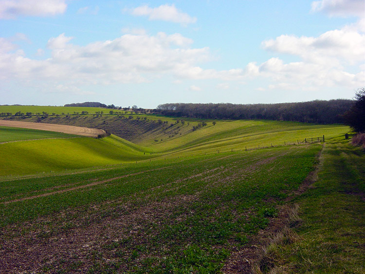
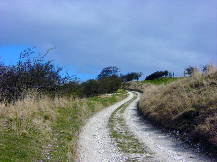 Climbing out of Thixendale
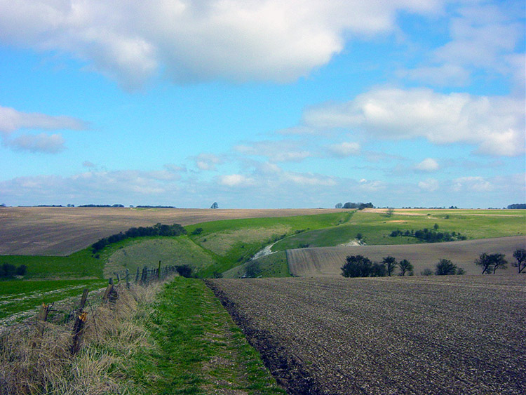 Cow Wold
This is a popular walk in the East Yorkshire area for a number of reasons. The first of them is Thixendale, a quiet wolds village which nestles snugly in a hidden dale. You can't see the village from any direction until you are upon it. It's a well secluded spot. The village is home to one pub, one small part time shop, a number of scattered dwellings, a hall and the church which spelled the end of the road for the church I was heading for today in the deserted village of Wharram Percy, this abandoned village being the second reason for the popularity of the walk. The third reason was the ground I had to cover between the two places, classic wolds walking countryside. The journey began by walking up a hillside out of Thixendale to Cow Wold. Soon I had gained height and could see a long way over the landscape, half of it being tilled fields and half green pasture. As I walked in mid morning sunshine the only noise accompanying the tread of my feet was that of birds singing in the hedgerows and trees lining the fields.
 Vessey Pasture Dale
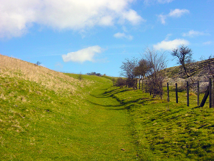 Climbing again
After a while I dropped a short distance into Vessey Pasture Dale, one of the most beautiful spots in the area. I thoroughly enjoyed my walk through and then climbed out of the dale to North Plantation. Again I had grand views and focused my eyes on the lovely surroundings of Wharram Percy Farm. It sits in a privileged position enclosed on three sides by managed copse. Soon though my eyes were diverted to a sight ahead of me. There were deer in the field I was walking across but before I got close they bolted down a steeply banked dale.
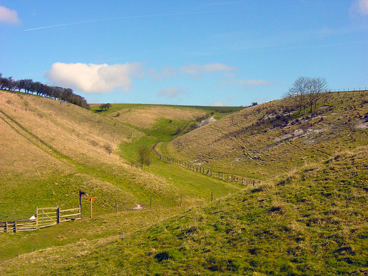
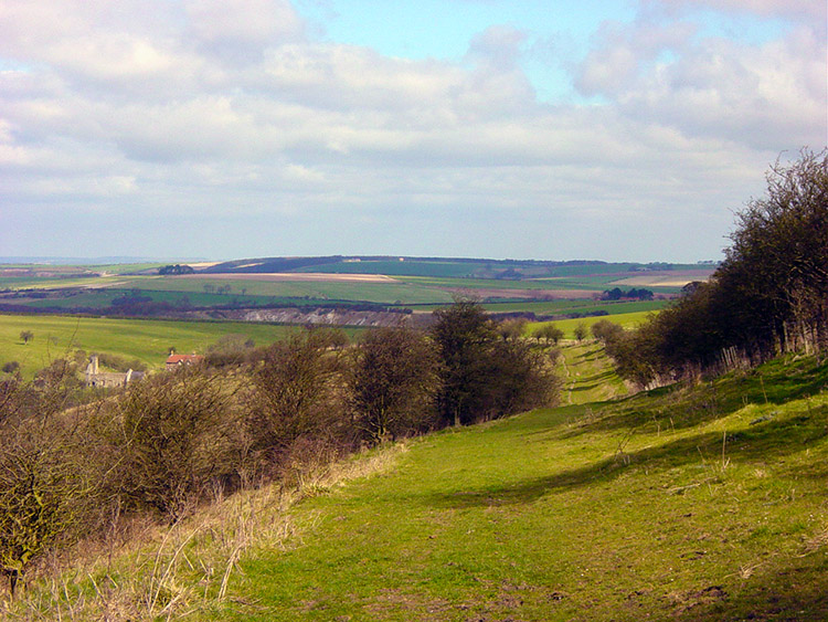
 View to Deep Dale from Toisland Wold
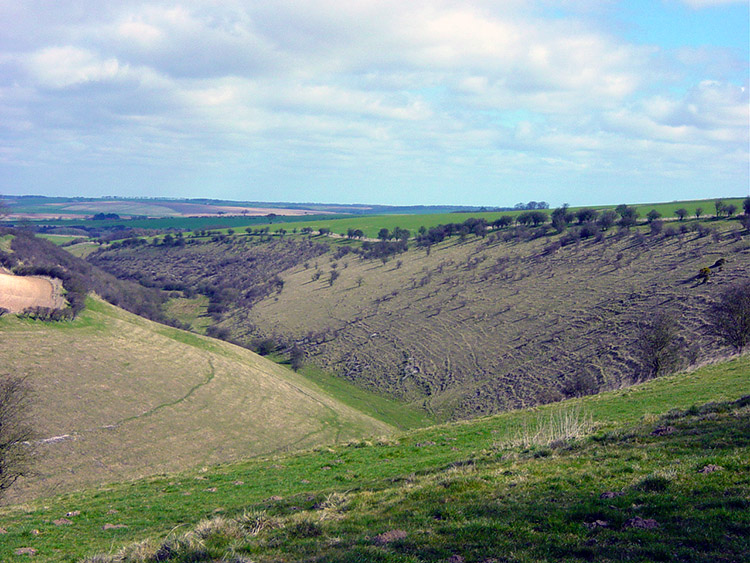 Deep Dale
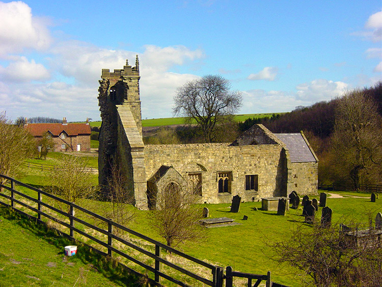
The dale the deer had disappeared into was aptly called Deep Dale and this dale is the natural home of Wharram Percy. As I walked round the hillside the top of St Martin's crumbling tower came into view. I walked alongside the dale for a further quarter mile before descending into the village at the village mill pond. It was a thrilling moment for although the village is small the vision still remains of the community that once lived and worked here.
 Fantastic view from above Deep Dale
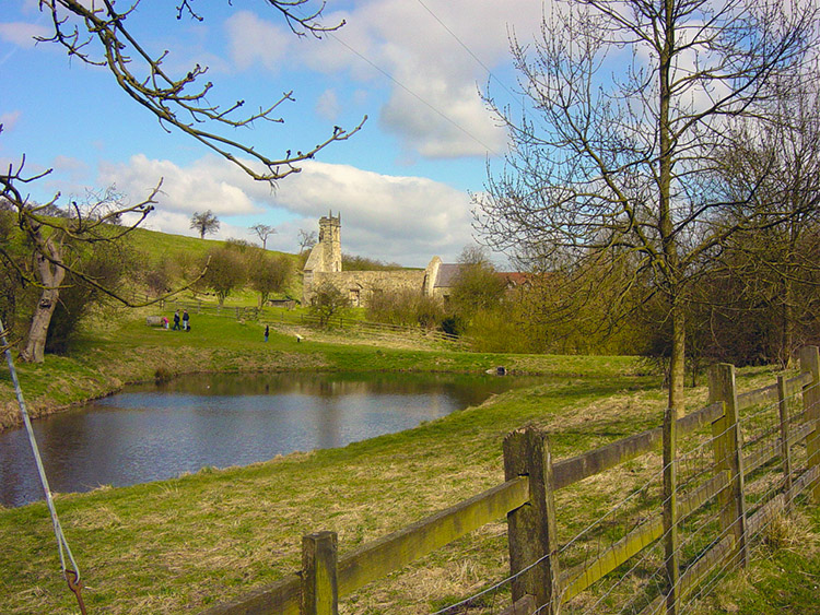 Wharram Percy mill pond and church
The mill pond is a lovely spot to have lunch beside and this I did. I then walked to the church and read the information board which describes the history of the building. This history can be found as it is written on the board on Ken Tompkin's website. A plan of the village as it was can also be found on Ken's excellent site. Another informative website at English Heritage provides a background to the history of the village. After reading the information board I looked in the inside of the church before exploring the rest of the village.
 Wharram Percy church
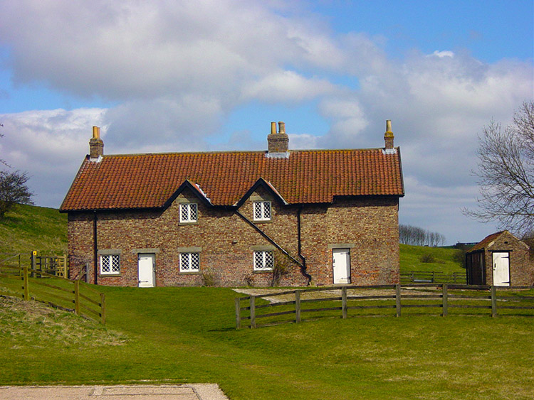 Preserved houses in Wharram Percy
It was an interesting look around and after my walk around the site I made my way out of Wharram Percy by following the Centenary Way path onto Wharram Percy Wold which took me back to the head of Deep Dale. I then walked back along my original tracks towards North Plantation but turned south before I reached it to follow Centenary Way back to Thixendale via Court Dale and Water Dale. I had enjoyed my walk into the past.


