County Tops of England: County Durham
Burnhope Seat: 746 metres (Grid Ref: NY788375)
Google Maps Open Source Maps| Route Statistics and Files | ||
|---|---|---|
| Start: B6277 roadside | Grid Ref: NY774364 | Distance: 2.2 miles (3.5 km) |
| Climbing: 147 metres | Time: 1 hour | Rating: Moderate |
| GPX Route File | Google Earth File | Map: OL31 North Pennines – Teesdale and Weardale |
| Statistics | |
|---|---|
| Start: B6277 roadside | Grid Ref: NY774364 |
| Distance: 2.2 miles (3.5 km) | Time: 1 hour |
| Climbing: 147 metres | Rating: Moderate |
| GPX Route File | Google Earth File |
| Map: OL31 North Pennines – Teesdale and Weardale |
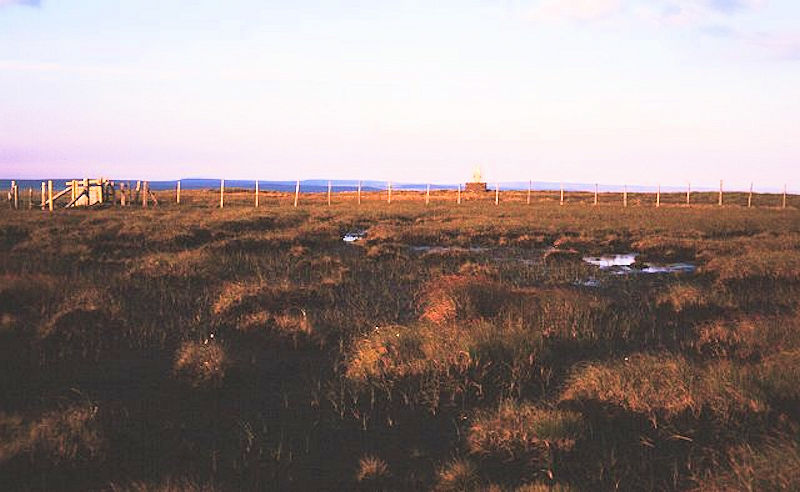
The Walk: A straight forward up and down walk on a straight line from where you set off on a safe bit of roadside to the summit point. Map and compass or GPS will be needed to reach the desired high point of County Durham as there are no paths to help you up (unless other county top walkers have forged one before you). Make sure you have good walking boots on for this one. Though short and on as true line the moor will most likely be boggy underfoot.
Note: Since the county boundary changes in the 1970's Burnhope Seat has lost the distinction of highest point in County Durham. The new county top is Mickle Fell.
The Walk I Would Do: This one. The hill does not appeal to me in any other sense. I would only climb it if I was on the mission of bagging all the county tops.
Information: Burnhope Seat is a moor in the North Pennines of England. It lies between the heads of the Rivers Tees, South Tyne and Wear. The summit is crossed by the boundary between County Durham and Cumbria (historically Cumberland). (Source: Wikipedia)


