County Tops of England: Norfolk
Beacon Hill: 105 metres (Grid Ref: TG183414)
Google Maps Open Source Maps| Route Statistics and Files | ||
|---|---|---|
| Start: Beacon Hill Car Park | Grid Ref: TG183413 | Distance: 0.8 miles (1.3 km) |
| Climbing: 45 metres | Time: 30 minutes | Rating: Easy |
| GPX Route File | Google Earth File | Map: 252 Norfolk Coast East, Cromer and North Walsham |
| Statistics | |
|---|---|
| Start: Beacon Hill Car Park | Grid Ref: TG183413 |
| Distance: 0.8 miles (1.3 km) | Time: 30 minutes |
| Climbing: 45 metres | Rating: Easy |
| GPX Route File | Google Earth File |
| Map: 252 Norfolk Coast East, Cromer and North Walsham |
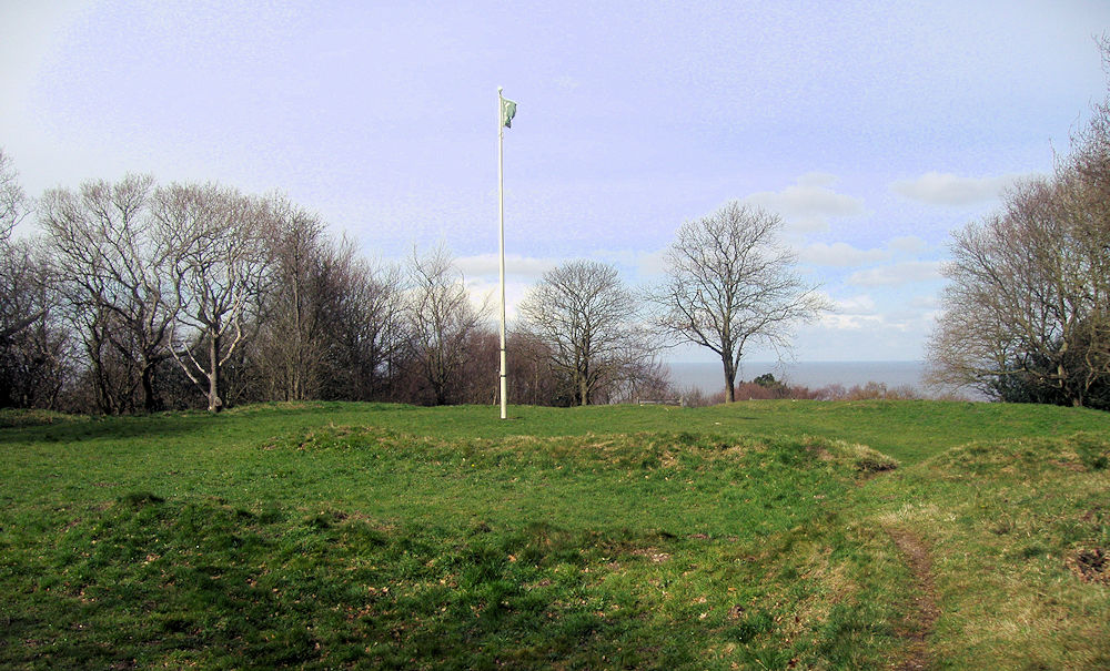
The Walk: From the car park follow a path leading around the hill to the flagpole which is near the highest point in Norfolk. Whether you go clockwise ot anti-clockwise on the route around the hill is entirely up to you.
The Walk I Would Do: This one, it is a nice circular of this fine hill. If I had more time and wanted to do a longer walk I would design it to include a stretch of the Norfolk coast between Sheringham and Cromer which is exactly what I did on my first visit to North Norfolk in October, 2018. See the walk here.
Information: Beacon Hill is the highest point in the English county of Norfolk. The hill is located 0.75 miles (1.2 km) south of the village of West Runton on the North Norfolk coast. At its summit the hill is 103 metres (338 ft) above sea level. The hill is also known as Roman Camp. The summit and surrounding woodlands are now in the care of the National Trust. A track, named Calves Well Lane, running west from Sandy Lane leads to a car park which is maintained by donations made to the National Trust collection box provide on the edge of the car park. Litter bins and benches make Beacon Hill an ideal location for picnics. There are several footpaths to follow across the area. (Source: Wikipedia)


