County Tops of England: Northamptonshire
Arbury Hill: 225 metres (Grid Ref: SP540587)
Google Maps Open Source Maps| Route Statistics and Files | ||
|---|---|---|
| Start: Bunkers Hill Road | Grid Ref: SP548587 | Distance: 1.4 miles (2.2 km) |
| Climbing: 95 metres | Time: 45 minutes | Rating: Easy |
| GPX Route File | Google Earth File | Map: 206 Edge Hill and Fenny Compton |
| Statistics | |
|---|---|
| Start: Bunkers Hill Road | Grid Ref: SP548587 |
| Distance: 1.4 miles (2.2 km) | Time: 45 minutes |
| Climbing: 95 metres | Rating: Easy |
| GPX Route File | Google Earth File |
| Map: 206 Edge Hill and Fenny Compton |
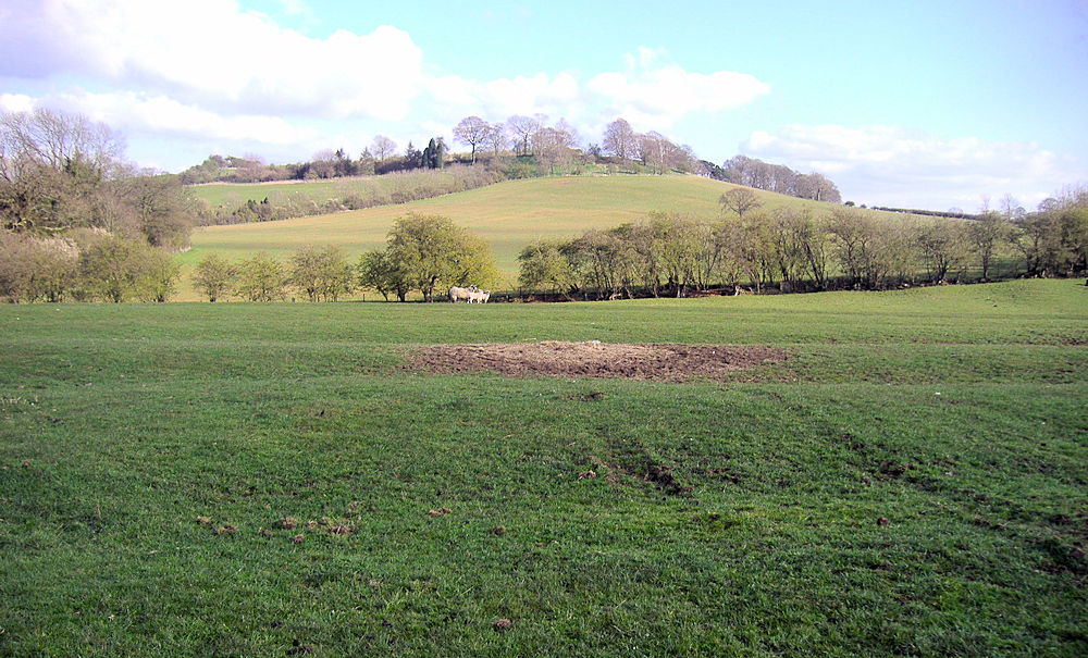
The Walk: Follow a tree lined avenue from the road which forms field boundaries. After about 800 metres cut away from the path a climb northwards up Arbury Hill. Look left and right if it is noisy, you will not want to be knocked over by a motor cross bike which may be on the motor cross track which is found on the hill. You will need to cross the motor cross track to reach the summit.
The Walk I Would Do: I would extend the walk by setting off from and finishing the walk in Badby. It appears to be a nice and well kept rural English village.
Information: Arbury Hill, at 225 m (738 ft), is the joint highest point in the English county of Northamptonshire. It is 9 km (5.6 mi) southwest of the town of Daventry. On the summit of Arbury Hill there are the vestiges of an Iron Age Fort, although this was disputed by the Royal Commission in 1981. The remains are in the form of a square ditch and embankment about 200 metres across. There is a motor-cross track on the east side and top of the hill that is used for competitions about three times a year. (Source: Wikipedia)


