County Tops of Wales: Caernarvonshire
Snowdon: 1,085 metres (Grid Ref: SH610543)
Google Maps Open Source Maps| Route Statistics and Files | ||
|---|---|---|
| Start: Pen y Pass | Grid Ref: SH647556 | Distance: 8.0 miles (12.9 km) |
| Climbing: 1,130 metres | Time: 5-6 hours | Rating: Hard |
| GPX Route File | Google Earth File | Map: OL17 Snowdon/ Yr Wyddfa |
| Statistics | |
|---|---|
| Start: Pen y Pass | Grid Ref: SH647556 |
| Distance: 8.0 miles (12.9 km) | Time: 5-6 hours |
| Climbing: 1,130 metres | Rating: Hard |
| GPX Route File | Google Earth File |
| Map: OL17 Snowdon/ Yr Wyddfa |
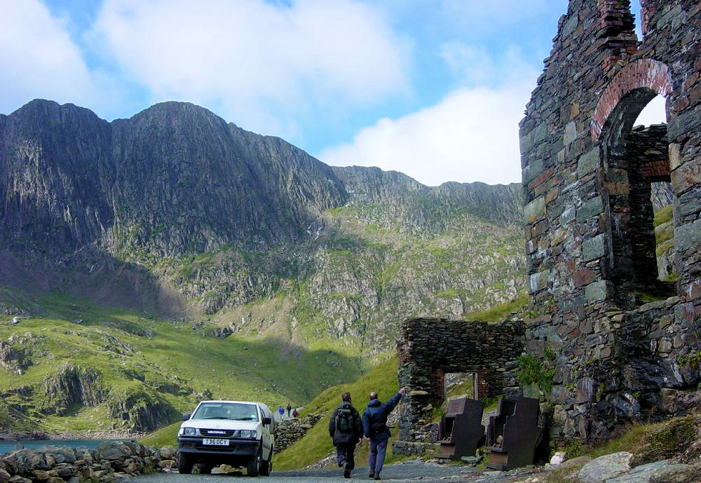
The Walk: This walk to Snowdon, the county top of Caernarvonshire and highest point in Wales begins with a gentle warm up from the start at Pen y Pass along the Miner's Path for the first two miles to Glaslyn Reservoir. After passing Glaslyn the walks steepens as the Miner's Path and Pyg Track merge to share the challenging climb to Bwlch Glas. From here the ascent eases and follows the railway track to the summit of Snowdon. After the thrill of reaching the top follow the ridge line as it descends gently to Bwlch Ciliau before climbing the short distance to West Peak of Y Lliwedd. From here the walk continues on a good descent to Cmn Dwli where the Miner's Track is rejoined to walk back to Pen y Pass.
The Walk I Would Do: I would do the walk described above or a slight variation by following the Pyg Track to Bwlch Glas. If conditions were good I would even consider taking the narrow ridge of Crib Goch to Snowdon. See Crib Goch, Garnedd Ugain and Mount Snowdon for details.
Information: Snowdon (Welsh: Yr Wyddfa) is the highest mountain in Wales, at an elevation of 1,085 metres (3,560 ft) above sea level, and the highest point in the British Isles outside the Scottish Highlands. It is located in Snowdonia National Park (Parc Cenedlaethol Eryri) in Gwynedd, and has been described as "probably the busiest mountain in Britain". It is designated as a national nature reserve for its rare flora and fauna. (Source: Wikipedia)


