County Tops of Wales: Monmouthshire
Chwarel y Fan: 680 metres (Grid Ref: SO258294)
Google Maps Open Source Maps| Route Statistics and Files | ||
|---|---|---|
| Start: Llanthony Priory | Grid Ref: SO288278 | Distance: 8.8 miles (14.2 km) |
| Climbing: 555 metres | Time: 4-6 hours | Rating: Hard |
| GPX Route File | Google Earth File | Map: OL13 Brecon Beacons/ Bannau Brycheiniog: Eastern Area |
| Statistics | |
|---|---|
| Start: Llanthony Priory | Grid Ref: SO288278 |
| Distance: 8.8 miles (14.2 km) | Time: 4-6 hours |
| Climbing: 555 metres | Rating: Hard |
| GPX Route File | Google Earth File |
| Map: OL13 Brecon Beacons/ Bannau Brycheiniog: Eastern Area |
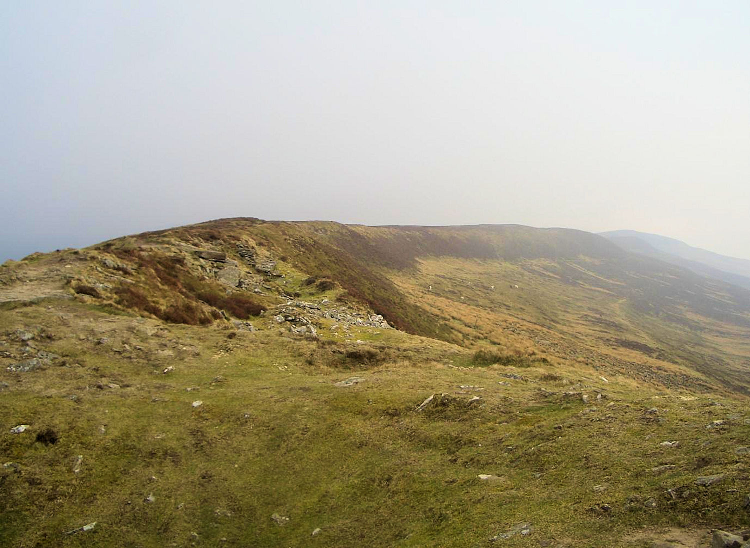
The Walk: After less than two miles of walking practically all the climbing on this circular walk in the Black Mountains is done. So after the sharp climb from Llanthony Priory up Cwn Bwchel to Bal-Bach and then to the trig pillar on the summit of Bal-Mawr take a breather. you will have earned it and be able to look forward to a two mile long ridge top stroll to the highest point in Monmouthshire. A cairn marks the summit. Once Chwarel y Fan is attained continue north on the ridge a little further to a series of cairns and Blacksmith's Anvil Stone. From here track north-east down from the ridge to meet a path leading south-east on the edge of the long hill chain. This path leads the way back to a point where you rejoin the path from which you left Llanthony. Follow it home to the finish.
The Walk I Would Do: I would do this walk or alternatively, with more time and energy, I would cross to the parallel hill chain of Black mountains to the north east and follow Offa's Dyke Path along the top for a while before cutting off it at a point adjacent to Llanthony from where i would head directly back to the start of the walk. (Map and route file for this alternative available on request)
Information: Chwarel y Fan is a peak in the Black Mountains in south-eastern Wales. It is the highest rise on the long ridge which extends southeastwards from Rhos Dirion. The ridge continues southeastwards to the lesser summit of Bal-Mawr whose top is adorned by a trig point at 607 metres (1,991 ft) above sea level. A further 1 km southeast along the ridge is the lesser top of Bal-Bach at a height of just over 520 metres (1,710 ft). Chwarel y Fan is the highest point in Monmouthshire. The summit is on a thin ridge and is crowned by a cairn. (Source: Wikipedia)


