Sutton Bank, Whitestone Cliff, Gormire Lake and the White Horse of Kilburn
This is, in my opinion, the finest walk in the Hambleton Hills region of the North York Moors which is found in the South Western area of the National Park. There are many outstanding sights to see and experiences to be had at regular intervals during this spectacular circular walk. First there are the outstanding whitestone cliffs which lend their name to a village below them and from them you get a great sight of elusive Gormire Lake which is a survivor of the last ice age. Then after a stretch on the escarpment the walk descends to lush North Yorkshire countryside and visits the village of Boltby. From the village more lovely countryside is walked through to the edge of Gormire Lake which begs a short exploration. Afterwards the walk continues south with a careful crossing of the A170 to be negotiated before heading to the finale via Hood Hill Plantation which leads to a short steep climb back on to the top moor, the last bit up steps beside the White Horse. Then amble back along the top of the escarpment and, if they are flying, watch the Gliders soar as your spirits do likewise after this exhilarating walk.
Google Maps Open Source Maps| Statistics and Files | ||
|---|---|---|
| Start: Sutton Bank Visitor Centre | Distance: 11.2 miles (18.0 km) | Climbing: 628 metres |
| Grid Ref: SE514830 | Time: 5-6 hours | Rating: Hard |
| GPX Route File | Google Earth File | About the White Horse |
| Statistics | |
|---|---|
| Start: Sutton Bank Visitor Centre | Distance: 11.2 miles (18.0 km) |
| Grid Ref: SE514830 | Time: 5-6 hours |
| Climbing: 628 metres | Rating: Hard |
| GPX Route File | Google Earth File |
Ordnance Survey Explorer Map (1:25,000)
The Walk:
 Setting off from Sutton Bank on the Cleveland Way
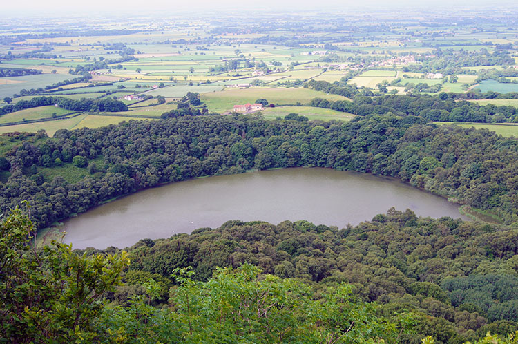 Gormire Lake
It was Saturday the 6th of September and eerily the car park at Sutton Bank Visitor Centre was deathly quiet. Usually the car park would be busy with families parking up to walk to the White Horse along Roulston Scar, but not this day as a nation was in mourning. It was the day of the funeral of Princess Diana and rather than dwell in morbid in front of the television my brother Dave and I decided to cheer ourselves up by taking a walk in the wonderful North York Moors. And what better opportunity to walk in such beautiful surroundings in peace and quiet would we get with the natural sound of the countryside to ourselves. It was an opportunity too good to miss.
 Whitestone Cliff also know as White Mare Crag
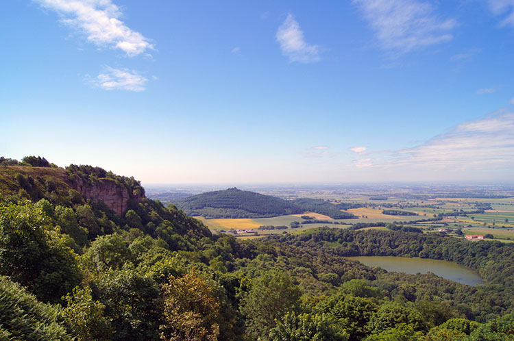 Whitestone Cliff, Gormire Lake and Hood Hill
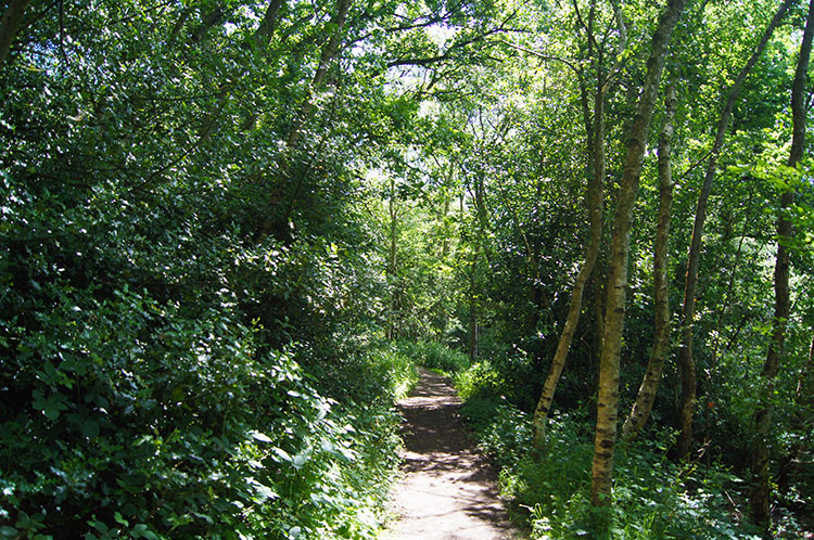
Arriving from Harrogate promptly thanks to extremely quiet roads we had no trouble parking up and after changing into our walking gear we were on our way. It was a hot September day with heat haze all around as we set off from Sutton Bank walking north along the edge of the North York Moors western escarpment and following the Cleveland Way. At first the views to the levels of Yorkshire over to the west were blocked by trees but after five minutes of walking the trees were gone and the fantastic views materialised, not only to the west but to the north and east too.
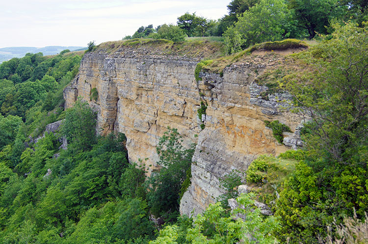
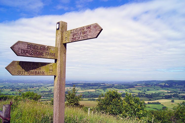 Waysign at Whitestone Cliff
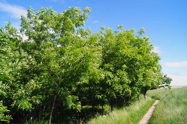 On the way to Hill Fort Windypit
The lower ground to the west usually offers distant views but the heat haze made focus difficult just beyond a few miles. In compensation the views in our locale were tremendous with densely foliage surrounded Gormire Lake below and soon we had arrived above Whitestone Cliff, alternatively names White Mare Crag on the Ordnance Survey maps. The feature is a cliff of pink grit stone formed in the Jurassic period. Today Dave and I were alone to enjoy the peace of the place, Dinosaurs gone, people elsewhere. The cliff, so prominent in coastal regions is a rarer sight inland but there is a geological explanation for this particular one.
 Looking down to Boltby
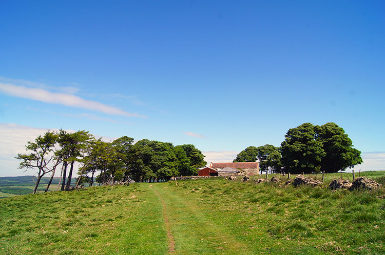 High Barn
Why is this cliff here? In the last ice age, which peaked around 20 thousand years ago, an ice sheet pushed its way down the depression that lay between the upland areas of the North York Moors and the Pennines. As it scraped along the western edge of the moors, the tremendous force of the ice gouged out the soft underlying rocks, causing the hard tops to tumble down. The result was a near-vertical escarpment, of the type usually seen at the coast. As the ice melted it left layers of mud along the bottom edge of the cliff, in what are known as lateral moraines. These mud deposits blocked up normal drainage channels causing small lakes to form. Gormire Lake, below Sutton Bank, is the last remaining glacial lake. The edge of the bank is not a perfect straight line, and a little to the south of Sutton Bank, Hood Hill stood out above the ice sheet and became detached from the moors. A small cap of hard Upper Jurassic grit sits on top of the hill, giving it a spectacular profile. So now you know (Source: http://www.northyorkmoors.org.uk)
 The path to Boltby
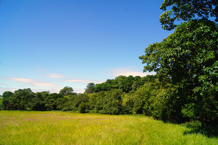
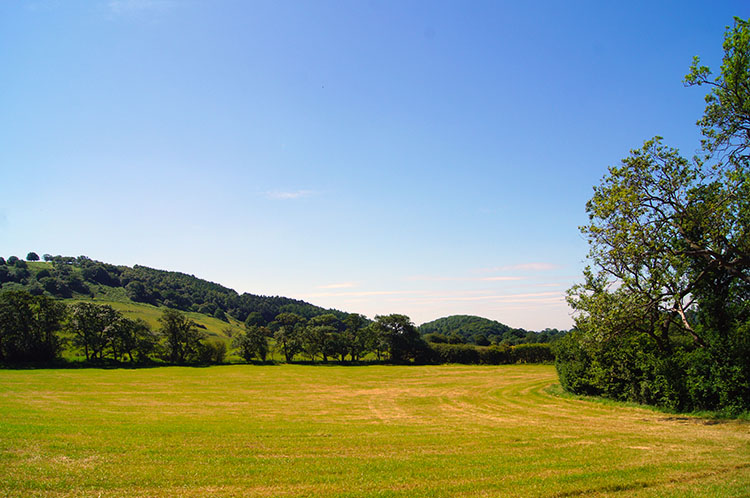 Pristine Field
After staying a while at Whitestone Cliff, which as I mentioned previously is also known as White Mare Crag we continued on our way along the highest ground. I imagined if the alternative name of the cliff was gleaned from someones inspiration as a link to the Kilburn White Horse on the escarpment to the south. Mare and Horse so close to each other? Then again, surely White Mare Cliff was so named long before the White Horse was conceived. Back to the journey now; Dave and I walked on the level high ground close to the cliff and walked north to Hill Fort Windypit. Finding no evidence of a fort there we continued on to High Barn.
I have since researched that Hill Fort Windypit is a site of interest to cavers who regular spend time below ground. Is that where the Hill Fort is hidden? For the cave information see Cave Maps
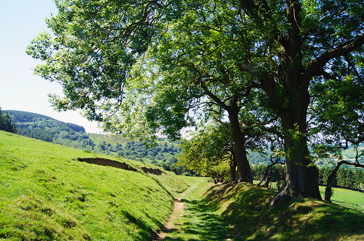
 The walk to Boltby is lovely
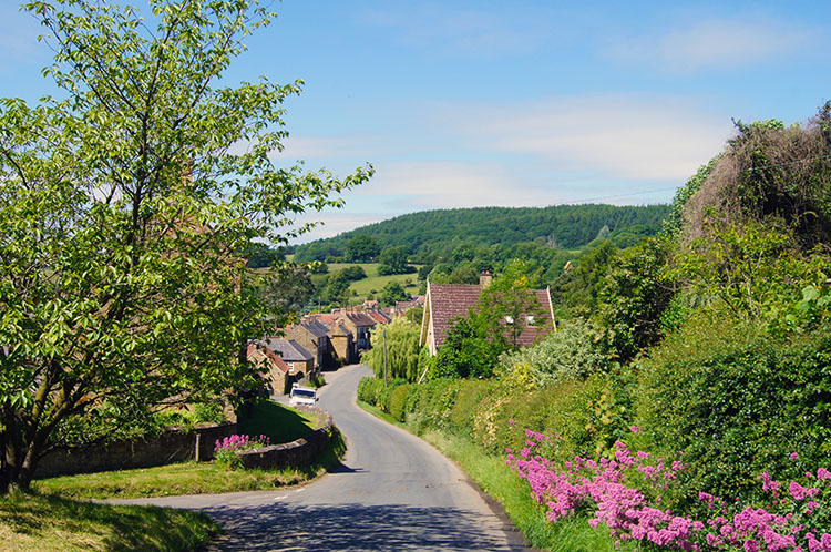 Boltby
From High Barn we descended off the escarpment by tracks, through fields and finally on road into the quiet North Yorkshire village of Boltby. It was the most beautiful section of walking through pristine fields, managed so professionally by the landowners. All the stock we passed in the fields we walked through and those beside us looked so happy. Why wouldn't they be in such a home. A group of Horses in a neighbouring field ran across to greet us as we passed. They wanted the company and we stayed with them for five minutes. After the friendly encounter we continued on and up a bank in the final field before dropping into Boltby by the road.
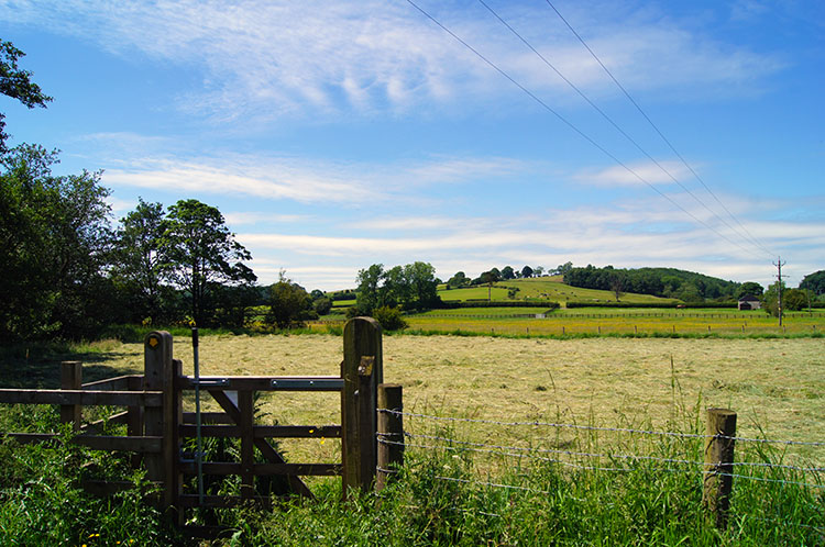 Heading from Boltby towards Gunnerlow Hill
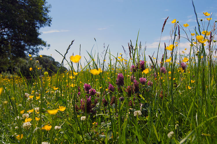 Flower Meadow
As it was at Sutton Bank Visitor Centre and as it was while on the popular walk along the Cleveland Way the village of Boltby was so quiet. Walking through the village seemed like we were exactly in the central moment of the iconic science fiction film 'The Day the Earth Stood Still'. No vehicles travelled along the road. Nobody ventured outside their homes. Nothing stirred at all. Nothing.
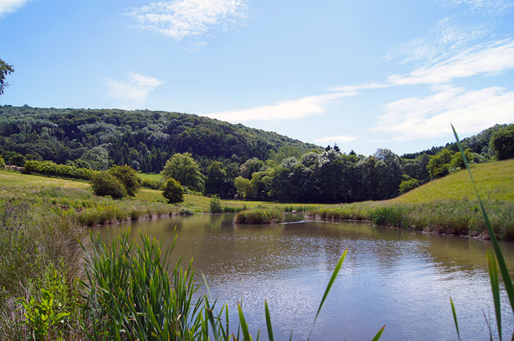 Pond near Southwoods Hall
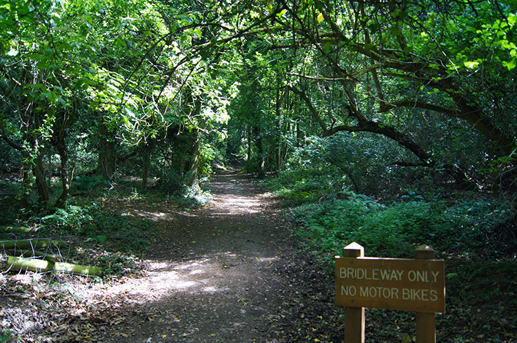 Gormire Wood
It is so clear to me now that the fantastic walk which should be walked by many was absent of people at all, bar me and Dave of course. The sad event of the day was a huge event, the most significant day of grief for the British in my lifetime. Yet on the walk the silence and tranquility was beguiling too, as if in respect for the national event. We left the silent village by following a track due south across fields to Gurtof Beck which we followed for a while before crossing a footbridge to follow more fields, some rich in flowers to Southwoods Hall. Gormire Lake was the next place to explore.
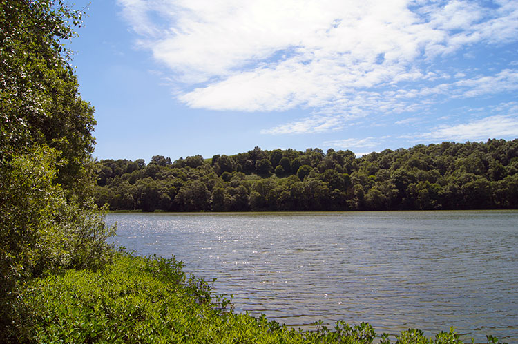 Gormire Lake
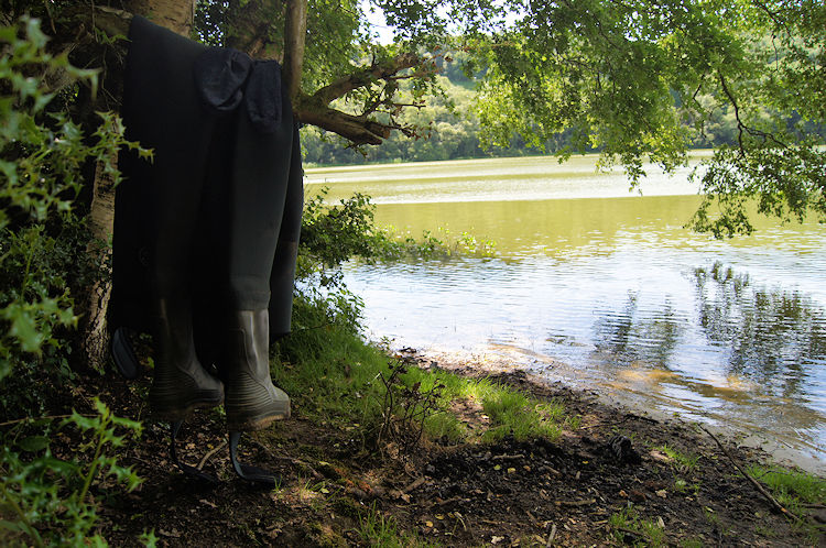 Gamekeeper or Poacher?
We explored the lake, set in a densely shrouded wood. Sometimes the paths could have done with a little Machete work but we were generally fine and getting to stand beside the lake was special. It was eerie calm, all noise drown out by the thick circle of trees. We loved it beside Gormire Lake.
 Scrub near Gormire Lake
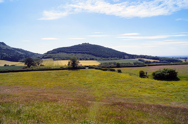 Walking directly towards Hood Hill
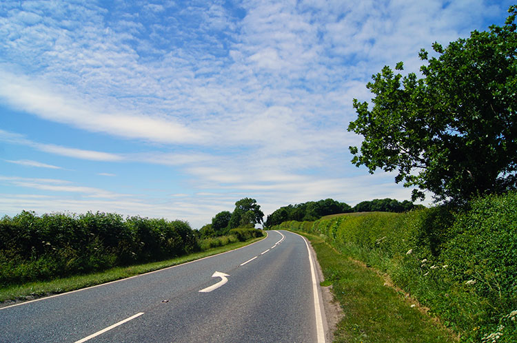
From Gormire Lake we could have followed a track up the escarpment and back to the car but we were so enjoying ourselves that we extended the walk by tracking past Gormire Farm and to an easy crossing of the usually busy A170 to follow a track to Hood Grange. We simply did not want the walk to end.
 Crossing the A170
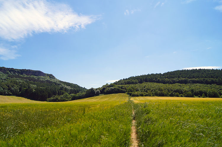 Field crossing after Hood Grange
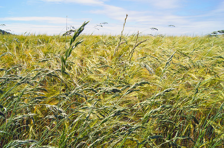
We crossed the road and headed for a farm. From the farm of Hood Grange we could see the imposing mass of the cliffs at Roulston Scar and Ivy Scar to the left and the pyramid of Hood Hill ahead of us, a hill swathed in green all around and from top to bottom. After the farm we followed a path bisecting a huge field of cereal. It was stiflingly hot with no shelter from the sun available to us. After crossing the field a track bisecting the scar and the hill took us through the gap and into the dense conifer shelter of Hood Hill Plantation. It was some relief having shade from the beating sun.
 Blowing in the wind
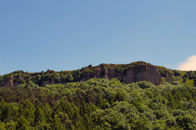 Ivy Scar
My word, this walk was so memorable I still recall the midges attacking as soon as we were in the shade from the hot summer sun. I remember taking my T Shirt off and throwing it over my head while we walked through the plantation. The insects were relentless in their assaults in the plantation and only when we reached Low Town Bank Road did I put my T Shirt back on.
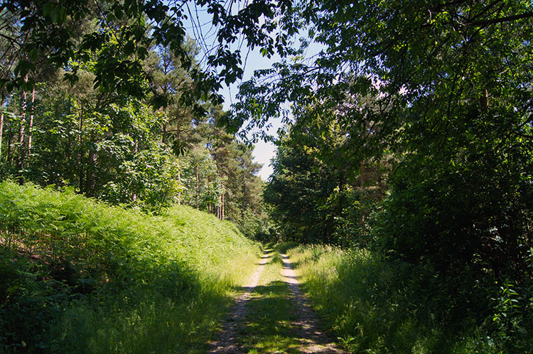 Hood Hill Plantation
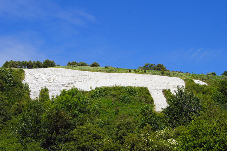 Climbing to the White Horse
The finale of the walk was exciting as we made our way up the Kilburn road to the White Horse but it was also the hardest part as we made a steep climb of 150 metres at over 25% gradient to get to the top of the escarpment. Perspiring work but we walked with intent, wanting to enjoy the views once we reached the top.
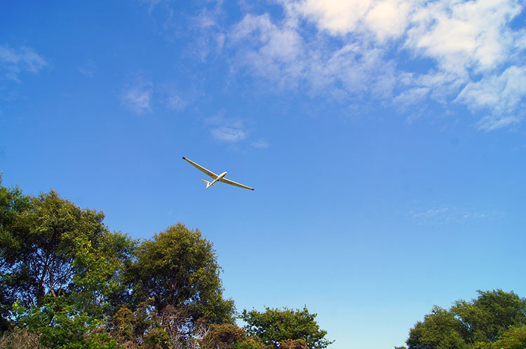 Glider soaring above the White Horse
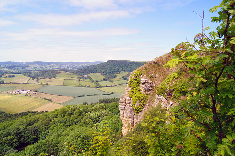 Roulston Scar
The climb was also eased by the expectation of reaching the White Horse and getting close for a reunion. The White Horse was a favourite place of my parents who took us there as children for weekend days out. In fact as well as walking the walk we were continuing the adventure Dave and I had with our younger brother Ray on the times before during those visits as youngsters growing up nearby. The White Horse of Kilburn has always been part of my life and always a joy to reach so pained as we were on the climb we got there and were immediately thrilled.
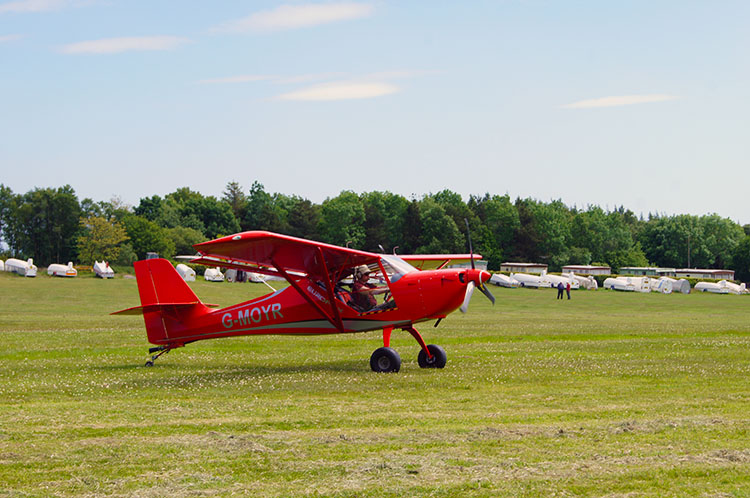
 Following the path near the Gliding Club
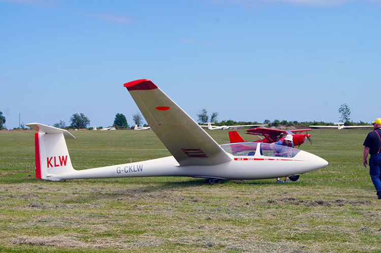 Ready for take off
We walked on the top from the White Horse past the Gliding Club. Usually it would be a busy place but as it was everywhere else the airfield was quiet. Nothing moved and no Glider was taking to the air in respect for the day. (Note: Some of the photographs shown here were taken on subsequent walks of the route. As I mentioned earlier this is one of my favourite walks. I enjoy completing the walk every year or so)
 The Gliders best friend
 Traffic crawling up Sutton Bank
After the Glider club the attention switched to looking down on the steep road bank leading up Sutton Bank. Dave and I recalled the occasions when as children we would have to get out of Dads car and help our parents to push it up the hill. Dad would push with the drivers window open steering the car while he heaved or as a treat on occassions let one of the children steer while he pushed from the back. It was usually Dave or Ray, they were the lighest, but I recall getting a go now and again too. It was not unusual vehicles to be pushed up the bank in those days and my Dads Ford Popular was not the most healthy vehicle. We loved it all the same though. it took us to many special places.
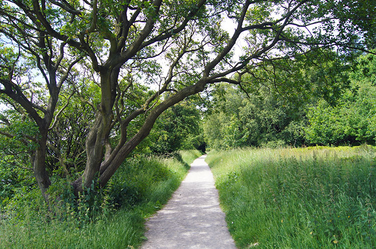 A fitting finale
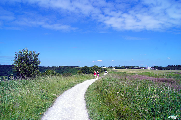
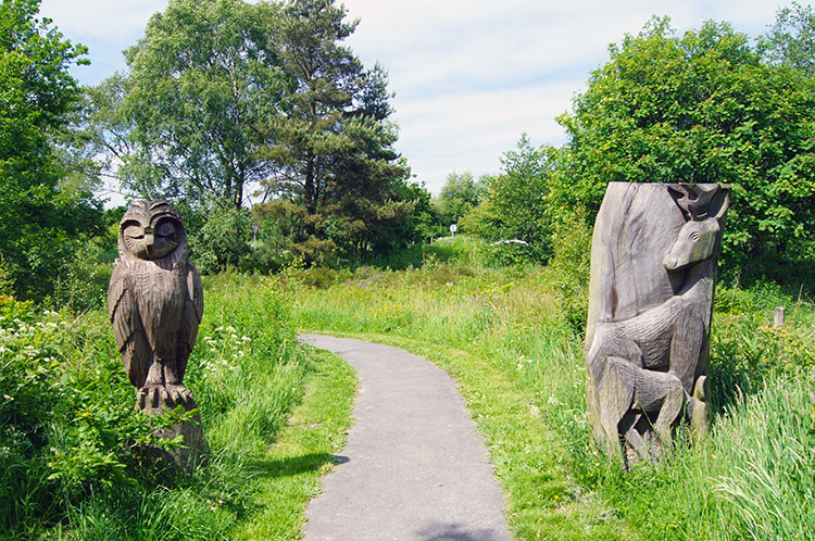 Wood carvings at Sutton Bank
We walked further towards the conclusion of our walk. The paths are well maintained on this stretch between the National Park Information Centre and the Gliding Club as it is one of the most popular viewpoints in all of Yorkshire. I have seen many disabled people, including those bound to the wheelchair revelling in the scenes to be taken in from here. The perfect management of the trails here is so commendable and the result is that the enjoyment provided is available to all. So even if you cannot do the whole walk come and make the short journey from the car park to the White Horse and take a look to the broad acres in the west. On a good day you will see the hills of the Yorkshire Dales in the far distance. You will not regret the effort and are very likely to want to come back again and again.
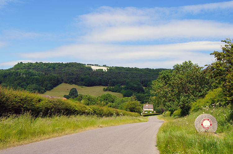 View to the White Horse from Kilburn
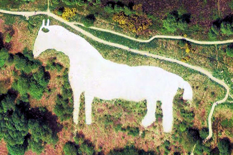 Glider pilots view of the White Horse
Too soon Dave and I crossed the road and headed back to the car. It had been the perfect day on what I maintain is the perfect walk and I resolved to come back and do it again. I have keep the promise to myself. Many times.


