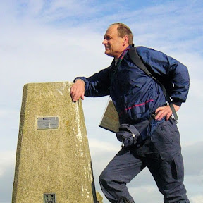
Outlying Fells of Lakeland in 34 Walks
Route Thirty-two: Walna Scar
Outlying Fells: Walna Scar
Statistics and Files
Ordnance Survey Explorer Map (1:25,000):
OL4 The English Lakes – North Western Area •
OL5 The English Lakes – North Eastern Area
OL6 The English Lakes – South Western Area •
OL7 The English Lakes – South Eastern Area
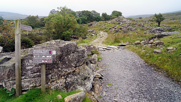
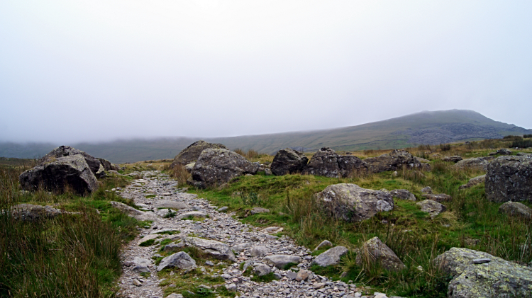
The climb to Walna Scar is a straightforward affair by simply following Walna Scar Road to its highest point and then making a short ten-metre climb from the unmade roadside to the summit. Walna Scar Road is an old packhorse route, termed by Alfred Wainwright as "the ancient highway over Walna Scar". The road links the village of Coniston in the east to Duddondale in the west.
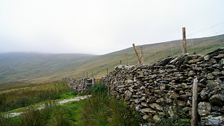
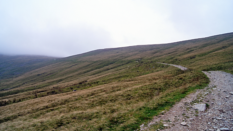
Although I have not walked the full length of Walna Scar Road in one go, I have climbed to the high point of the road from both directions; on both occasions while making climbs to Dow Crag via Brown Pike and Buck Pike. When I climbed from the east it was grotty weather and when I climbed it from the west it was equally grotty. Maybe one day I shall walk the road in sunshine. That would be nice. Incidentally, it can be a busy highway for fellwalkers making their way to the Coniston Fells. The time I made the ten-metre hop to the top of Walna Scar was a means of sitting down, having a bite to eat, and watching the human traffic making their way up the climb to Brown Pike. I knew I had to do it myself after lunch so I took my time over refreshments. When sat on Walna Scar I never knew it was an Outlying Fell so this was one of a few I could tick off at the beginning of my task to climb all the Outlying Fells of Lakeland.
Walking the Outlying Fells of Lakeland:
I provide maps, statistics, and route files in .gpx and Google Earth .kmz data forms for each walk in the compilation. For a detailed description of each outlying fell as originally described by Alfred Wainwright you will need to source the book.
The Outlying Fells Of Lakeland (Get the book here)