Wainwright's Coast to Coast Walk — Stage 8

Bent's Farm to Shap. A personal record of my walk in May 1994 with written journal and photographs.

Start Point
Bent's Farm
Finish Point
Shap
Total Distance
13.8 miles (22.2 km)
Total Climbing
410 metres
Estimated Time
5 – 6 hours
Difficulty Grade
Hard

Ordnance Survey Explorer Maps (1:25,000)

Essential paper maps for exploring the route:
Stage Report: Bent's Farm to Shap

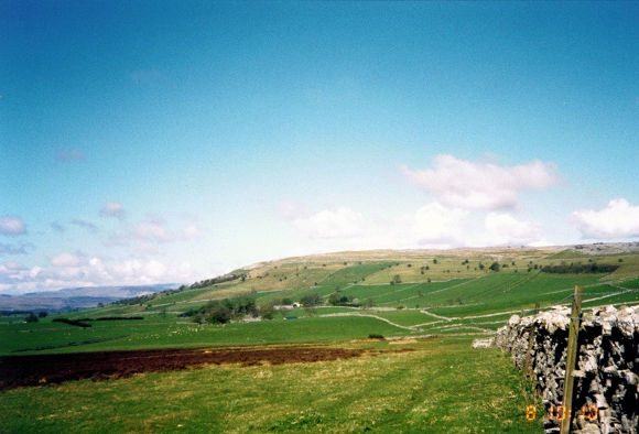
After yesterday's toil of crossing the Pennine watershed, this section was easy, predominantly following a limestone plateau. The leg involved walking close to sites of primitive settlement, hut villages, stone circles, and tumuli, examples of which can be found near Crosby Ravensworth and Crosby Garrett. We were fortunate to walk the entire length of today's leg in brilliant sunshine, and we were now all fit to the challenge of the walk and the anticipated fells of the Lake District, now just a day ahead. The walk on the limestone is nicely easy underfoot as you keep on the paths of velvety turf until you sometimes take the fun of bounding over the outcropping limestone itself. Spectacular views of the Dales, Howgill Fells, and Lakes are afforded to you in the distance. With these views available plus the walking, it is, as was with us, a great walk on a sunny day. Features apart from these and the historical sites include Sunbiggin Tarn, Orton village, Robin Hood's Grave, the secluded hamlet of Oddendale, and The Nab. It's a fantastic leg of the Coast to Coast Walk.

Crossing Ravenstonedale Moor
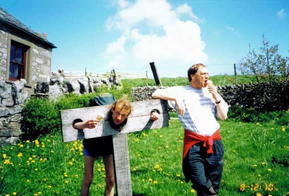
Dave suffers the penalty for being happy in Orton

The walk from Bent's Farm was done in serenely peaceful conditions apart from the noise of military training jets. I was in walking heaven. Almost everything was good today, and the boys and I had a fantastic day's walking in superb spring weather. We enjoyed a small diversion to Sunbiggin Tarn where we took our first break of the day before pushing on to Orton for an ice cream. After Orton we enjoyed ourselves walking on super limestone pavements at Orton Scar. Then it was on towards Shap. The only bugbear today was when we neared the hamlet of Oddendale. A familiar noise began to penetrate the air, eventually reaching a crescendo on the final push into Shap. The noise in question was from traffic making its journey along the west of England's arterial motorway, the M6. We crossed the motorway less than one mile from the end of today's stage, Shap. The noise was soon gone again. Oh, how I felt good today. The feet pains were now definitely behind me.

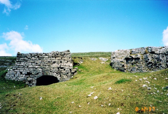
An old lime kiln on the climb up to Orton Scar
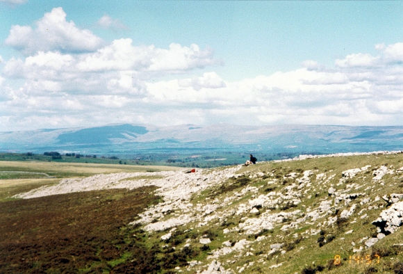
Limestone Pavements of Orton Scar

The village of Shap is a notable point on the A6 trunk road and featured in many news reports of the 50s and 60s during spells of bad weather as a notorious obstacle to hauliers and travellers of bygone days when traffic was less reliable and long cold snaps were the norm. The village's pubs, hotels, and boarding houses served many a time as a refuge for stranded travellers. However, the coming of the M6 spelled the end of the boom for Shap, as can be evidenced by the relative austerity of the place today in comparison to neighbouring towns and villages. Farming, the local cement works, and cottage industry are all that remain to keep the place going today. It is a sleepy place. Still, for the weary Coast to Coast walker it is home for a day, and for us a night of celebration in the prelude to our Lake District leg of the trip across the country.

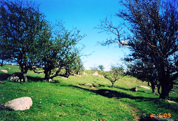
The Nab just before crossing the M6 into Shap
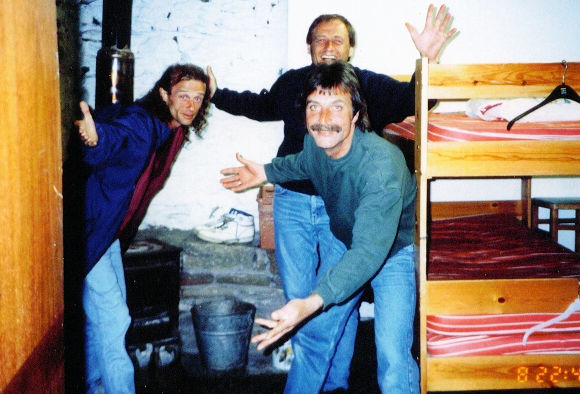
Celebrating the walk in our bunkhouse in Shap
Advertisement

Join The Walking Englishman Community

Connect with other walkers, share trail photos, and keep up to date with my latest route notes.