Old Man Of Coniston, Black Crag, Swirl How and Wetherlam
A classic Coniston Fells circuit. Highlights include Coniston village, Church Beck, old mine workings, Low Water, The Old Man of Coniston, Black Crag, Savin Hill, Levers Hause, Swirl Band, Swirl How, Prison Band, Swirl Hawse, Keld Gill Head, Black Sails, Wetherlam, Birk Fell Hawse, Tilberthwaite Gill, Hole Rake, and Miner's Bridge.
Summary: The walk on the Coniston Fells featuring the brilliant ridge between The Old Man of Coniston and Swirl How has been a personal favourite for years. The stiff climb to the Old Man, the scenic ridge walk, and the exciting crossing of the Prison Band to Wetherlam make for an unforgettable mountain day. On this occasion, I wanted to enhance the circuit by taking a different return route from Wetherlam back to Coniston: heading north-east down Wetherlam Edge to Birk Fell, circling through the enchanting and quiet area of Tilberthwaite Gill, and following Hole Rake back to Coniston. It proved to be a superb variation, with the peaceful Tilberthwaite valley providing a fitting conclusion to a brilliant walk.
The Walk Report
The weather forecast was unpromising. The breakfast BBC report warned us that heavy rain clouds were approaching from the west and would reach the Lake District by early afternoon. Time to get a move on! After finishing our breakfast in Ambleside, Steve and I drove along the winding road to Coniston.
Arriving in the popular lakeside village, we noticed dark cloud swirling around the summit of the Old Man at around the 2,000-foot contour. Had the bad weather arrived early? Since it wasn't raining yet, we laced up and set off—myself with eager anticipation, and Steve, as I later learned, with understandable reservation. Knowing the route and Steve's natural caution regarding high-altitude walking in poor visibility, I can appreciate his concerns in hindsight. Oblivious to his misgivings, we plunged straight into the climb and into the mist.
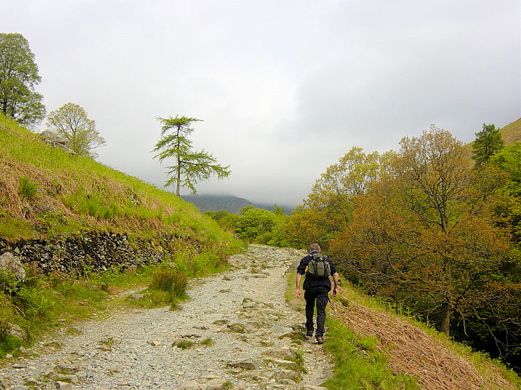
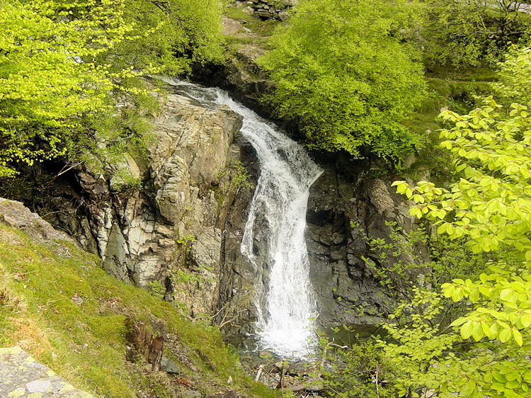
Walking from Coniston to Miner's BridgeChurch Beck waterfall
The first two miles of this walk are gruelling: a relentless, meandering climb up the valley where the gradient steepens significantly after Miner's Bridge, becoming more taxing with every step. As usual, Steve soldiered on manfully while I pushed to keep pace. Since this was our fourth consecutive walking day in the Lakes, my legs actually felt stronger on the climb than on earlier days.
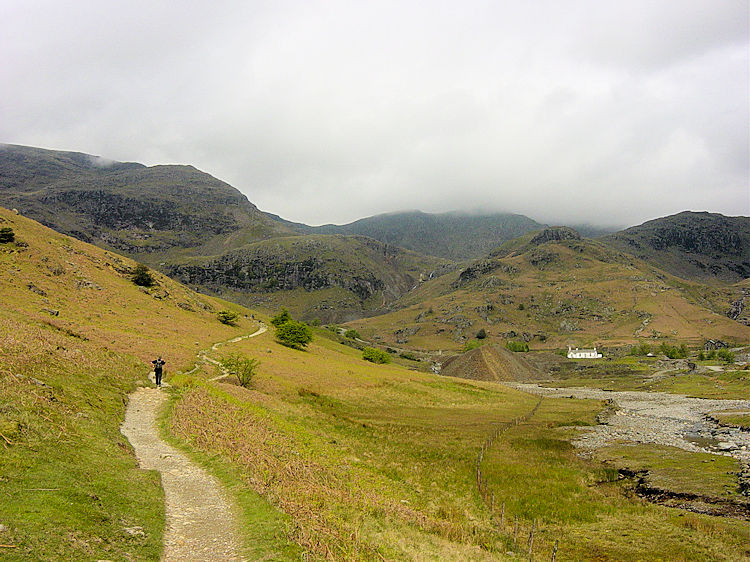
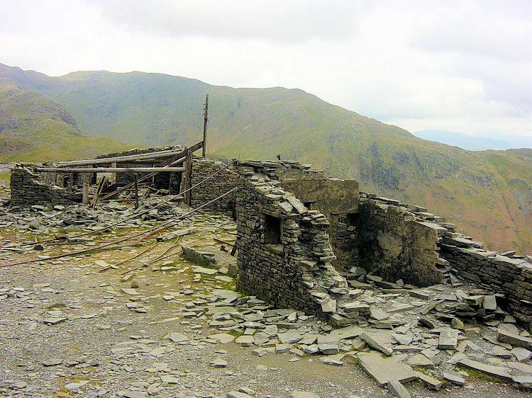
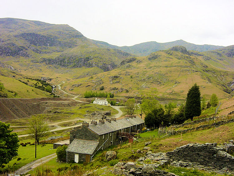
We wound our way past Crowberry Haws, Stubthwaite Crag, and Colt Crag, eventually reaching the zone where derelict quarry buildings and old mine workings are scattered across the fellside. Rusted machinery and dark, disused tunnel openings flank the path—a fascinating industrial landscape that offered a welcome excuse to pause and catch our breath.
Passing Foul ScrowDerelict quarry buildings at Colt Crag
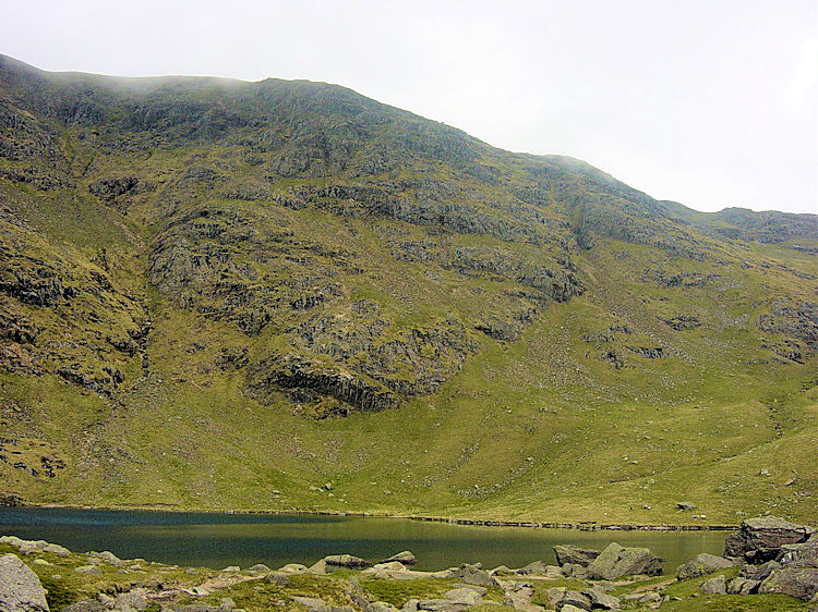
As we climbed past Low Water, we crossed paths with a party of three: a mature lady accompanied by her son and daughter. In conversation, the lady mentioned that she was climbing the Old Man for the second time in her life—and that her first ascent had taken place over 50 years ago! To climb such a demanding mountain half a century after your first visit is deeply impressive. Both Steve and I were thoroughly inspired and wished them well on the remainder of their special journey before pushing on for the final steep push to the summit.
Reaching Low WaterClimbing to Coniston Old Man
The Old Man of Coniston is a magnificent mountain that dominates the village skyline, making an ascent almost compulsory for visitors. As Wainwright wrote: "There are few days when the Old Man does not play host to visitors and in summer the blazed path to the top carries processions of pedestrians young and old..."
The mountain's slopes bear permanent witness to centuries of slate mining and copper extraction. Practically every historic dwelling in Coniston is built from stone quarried here, with spoil heaps, tramway inclines, and stone cottages scattered across the valley floor around Levers Water Beck.
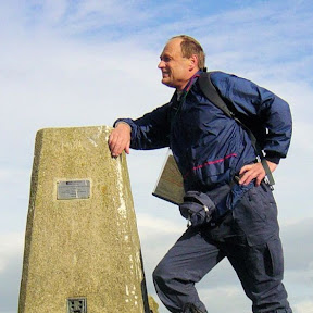
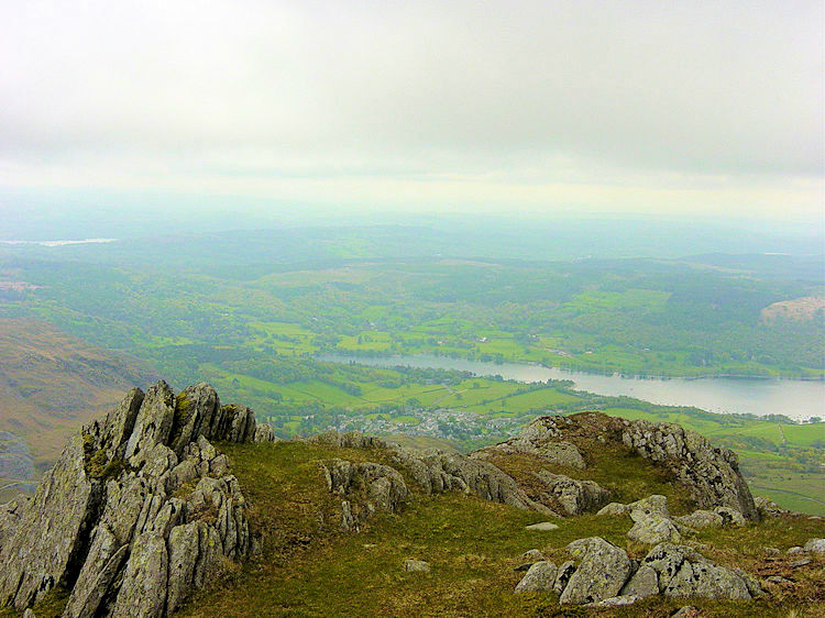
Looking to Coniston Water from Old Man BreastResting at the summit of the Old Man
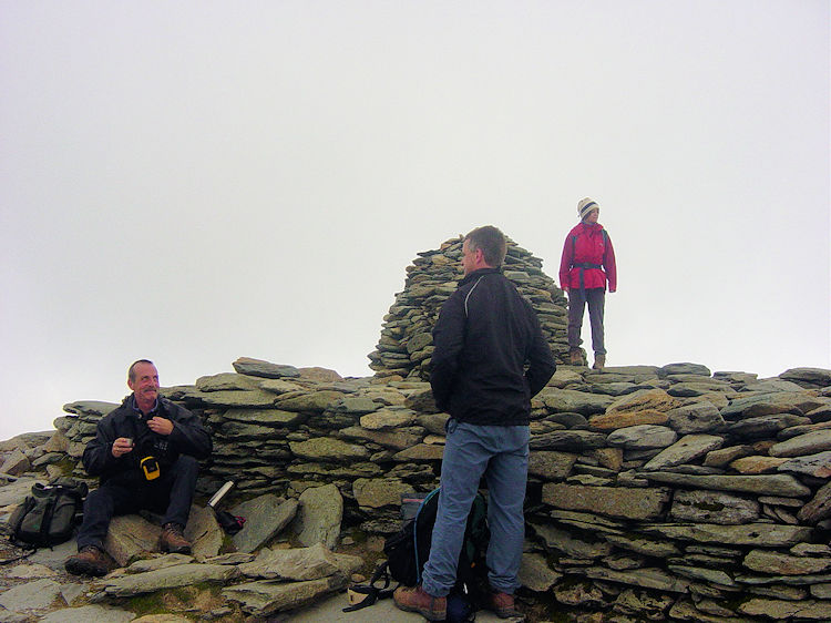
During our final push from Low Water, we entered the cloud cap that had hovered over the summit. While the mist was thick and visibility poor during our break at the trig point, Steve decided he had seen enough. "I'm heading straight back down," he announced. "I don't fancy being stuck up here if the weather closes in as forecast."
Despite my reassurances that an easy, open ridge led north toward Swirl How, he could not be persuaded. With a parting wave, he turned and headed back down our ascent route. In a wonderfully surreal twist, no sooner had Steve departed than the mountain mist began to lift off the summit. The entire length of the magnificent ridge to Swirl How snapped into clear view, and even Wetherlam emerged from the cloud. Far from worsening, the weather was actively clearing!
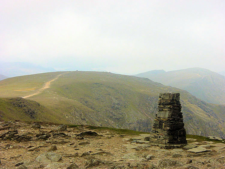
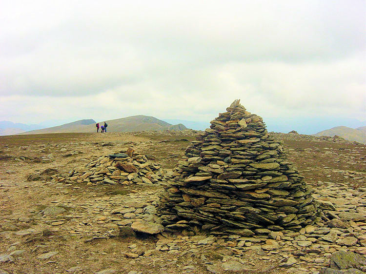
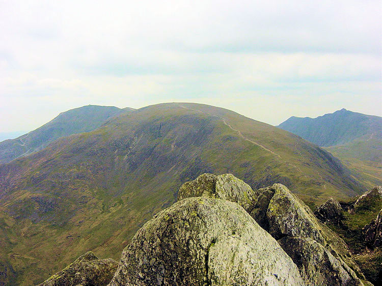
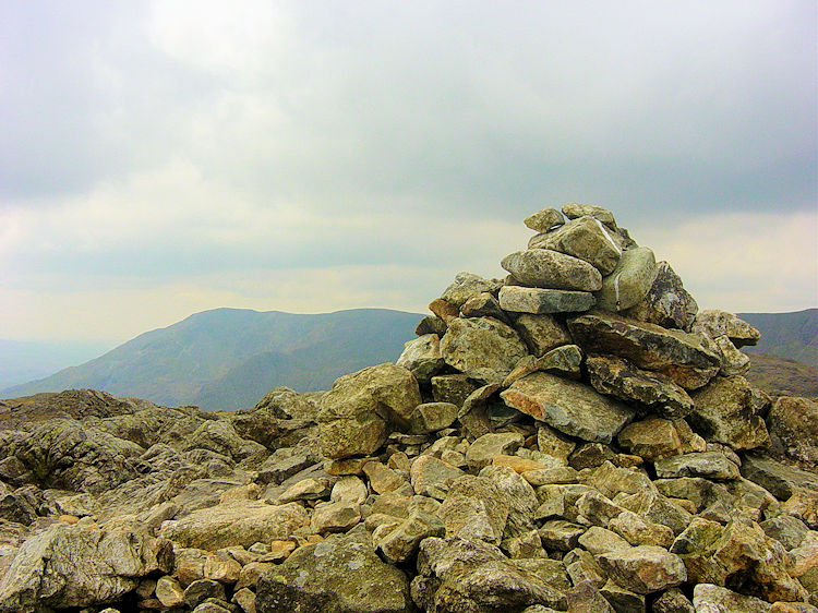
Coniston Old Man trig pointCairn at Black Crag
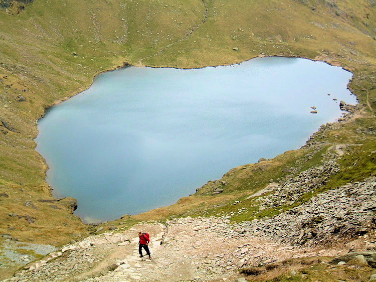
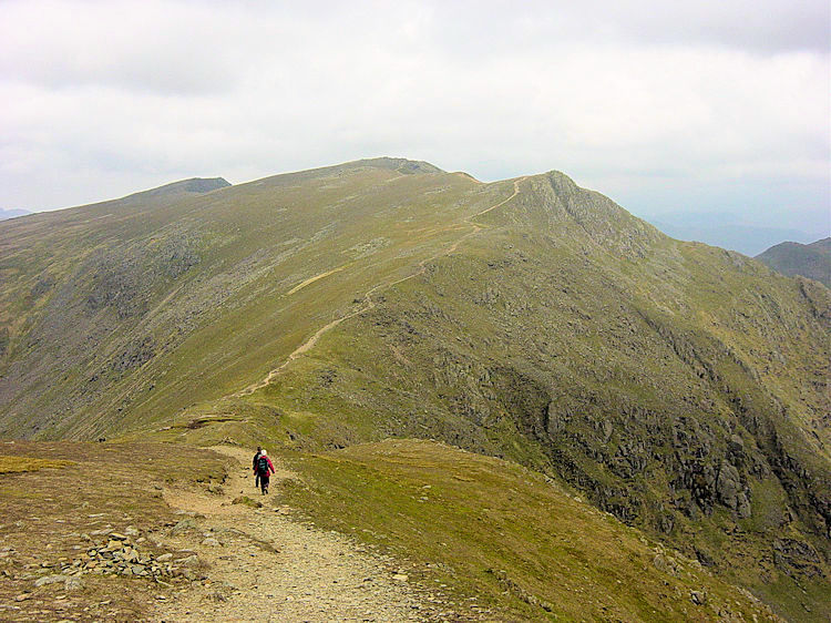
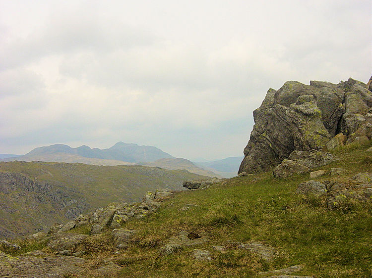
The two-mile ridge walk from the Old Man across Black Crag, Wray Crags, and Levers Hause to Swirl How is easily among the finest walks in the Lake District. I thoroughly enjoyed the airy path, catching up briefly with our lady climber from earlier, and taking in grand vistas across to the Langdale Pikes and the Scafell range.
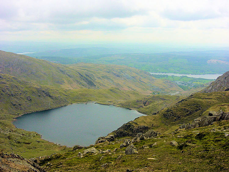
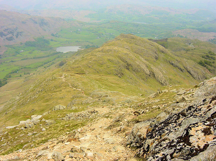
The magnificent path to Swirl HowLooking down to Low Water
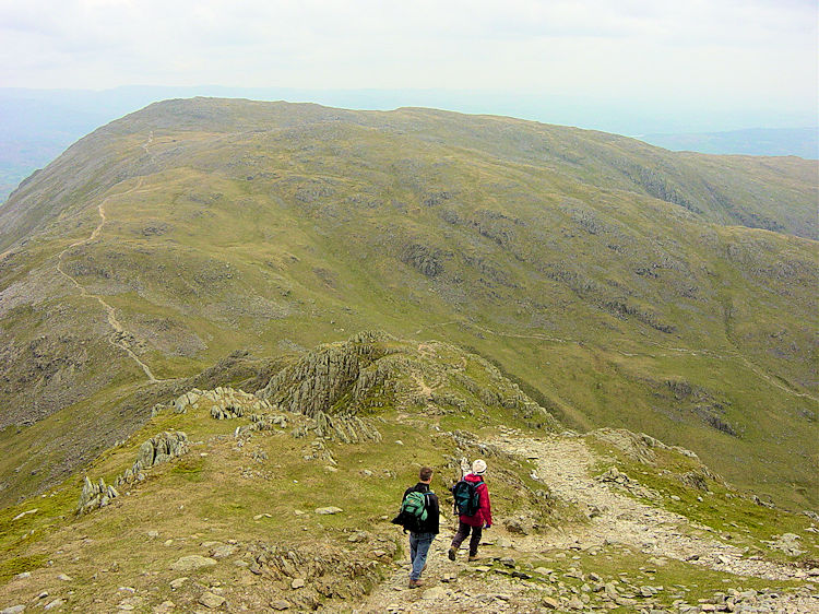
Reaching Swirl How (801m—just two metres lower than the Old Man), I paused to take in the supreme panorama. Looking back, the Old Man looked massive. Turning east, our next target was Wetherlam, accessed via the Prison Band. This rocky spine drops steeply from Swirl How down to Swirl Hause, a descent of nearly 200 metres requiring occasional use of hands, though never dangerously exposed.
View from Swirl How to the Old Man and Dow CragWalking across Prison Band
From Swirl Hause, the climb up Wetherlam is straightforward—a steady 130-metre pull over a kilometer, with an optional detour to bag Black Sails. Wetherlam’s summit is a crown of grey rocky steps bearing little trace of worn paths, requiring care to pick the correct departure route.
Rather than taking the standard return path south to Coniston, I chose a quieter variation down Wetherlam Edge. The descent was exhilarating, featuring more rocky steps where hands were needed. After dropping 250 metres over 600 meters of ridge walking, the gradient eased at Birk Fell Hawse.
View from Swirl HauseSummit of Wetherlam
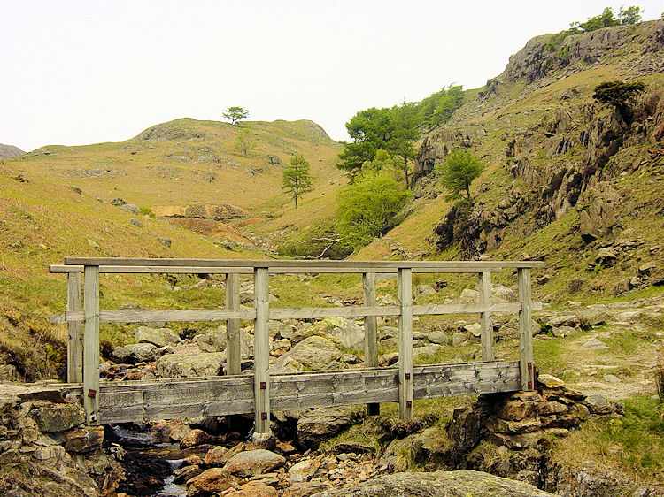
Pausing for a final snack in the shelter of Birk Fell Hawse, I admired the tranquil vistas over Greenburn and Little Langdale before trekking east over Birk Fell Man and descending toward Tilberthwaite Gill. What a magical discovery! I found a picturesque wooden footbridge, old adit openings, and a secluded ravine complete with cascading waterfalls. It was a wonderful, peaceful pocket of the fells.
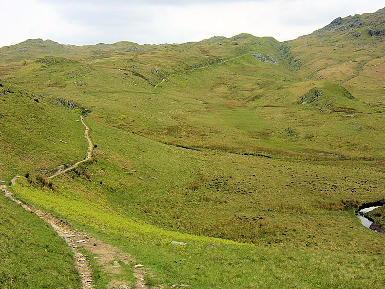
Wetherlam EdgeTilberthwaite
Reluctantly leaving Tilberthwaite, I followed the clear path over Hole Rake to rejoin Steve in Coniston. I still had time to inspect an old slate quarry cut into the hillside and view the waterfalls along Church Beck before walking back into the village. Steve was waiting patiently in a local cafe. Scarcely had we sat down for tea when the predicted heavy rain finally arrived outside. Perfect timing!