Nethermost Pike, Helvellyn, Lower Man and Browncove Crags

A direct approach to climbing Helvellyn. Starting from Wythburn Car Park off the A591, the route climbs steeply through woodland before easing on open ground, following Comb Gill and Birk Side to the summit of Nethermost Pike. After enjoying the broad ridge across Helvellyn, Lower Man, and Browncove Crags, the descent drops via Helvellyn Gill, Highpark Wood, and The Swirls, finishing with a relaxing woodland walk back to the start.

Start Point
Wythburn
Grid Ref: NY324136
Total Distance
6.6 miles (10.7 km)
Total Climbing
890 metres
Estimated Time
3 – 4 hours
Difficulty Grade
Hard

Ordnance Survey Explorer Map (1:25,000)

Essential paper map for exploring North Eastern Lakeland:
This lovely walk has been submitted by Denis, a contributor to The Walking Englishman. Starting from the car park in the hamlet of Wythburn, the route begins with a vigorous woodland climb up to the Helvellyn summit before descending north and west toward The Swirls, returning via tranquil forest paths back to the start.
The Walk Report

This route is arguably the easiest and most direct ascent of Helvellyn. It is also one of the shortest, and by its very nature, a steep climb. While it lacks the drama and exposure of Swirrel Edge and Striding Edge, it affords magnificent panoramic views in clear weather. Having said that, it is vital to remember that Helvellyn is a high mountain with a summit standing at 3,118 feet (950m) and must be treated with respect, particularly during inclement weather.

The walk begins at Wythburn Car Park (Grid Ref: NY324136), located just off the Grasmere to Keswick road (A591). Remember to bring coins or card for parking, as fees apply here.

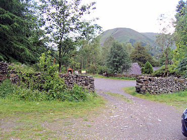
The start at Wythburn car park
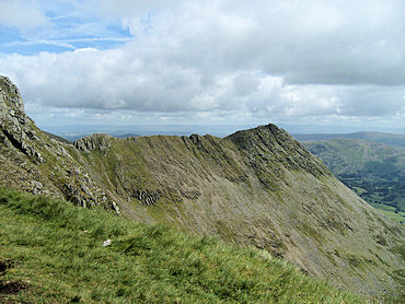
Striding Edge
Striding Edge

From the car park, take the gate at the upper end and turn right, initiating the steep woodland climb through the forest. Continue straight up past intersecting paths, following the directional signs for Helvellyn.

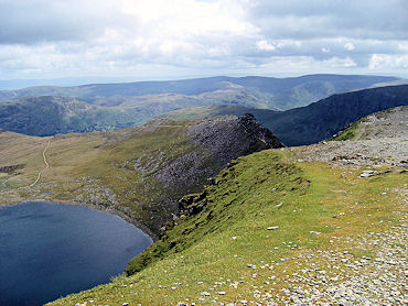
Upon clearing the conifers, you emerge onto open fell via a clearly marked footpath with Comb Gill over to your left. The path zigzags across Comb Crags to pass Birk Side. As you climb, take frequent pauses to look back over Thirlmere and across the western fells. The summit ridge becomes visible as you approach the col between Nethermost Pike and Helvellyn, where a magnificent side-on view of Striding Edge opens up. From there, it is a short walk to the stone cross shelter situated roughly 150 yards before the summit trig point (Grid Ref: NY342151).

Striding Edge and Red Tarn
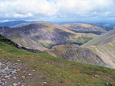
Swirral Edge
Swirral Edge

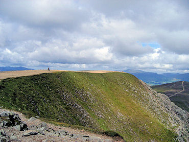
Leaving the summit in a west-north-westerly direction brings you to Lower Man (Grid Ref: NY331156). From this point, the very steep descent commences down Browncove Crags to arrive at The Swirls car park (Grid Ref: NY316168). From there, you enjoy a pleasant two-mile low-level walk back to meet the outgoing cross-path, which drops you back down to Wythburn.

Swirral Edge and Catsty Cam
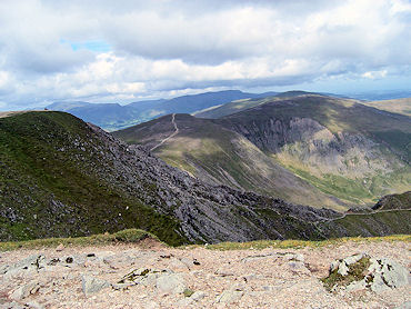
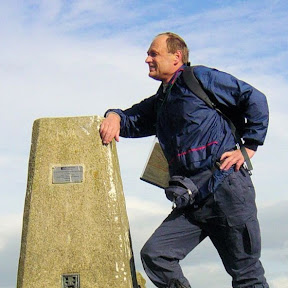
The summit of Helvellyn

The low-level return track combines forest roads and narrow, undulating paths winding through the trees. Following heavy rain, sections of the track can resemble rushing streams complete with miniature waterfalls. And that concludes a short, direct, and thoroughly satisfying mountain excursion in north-east Lakeland!

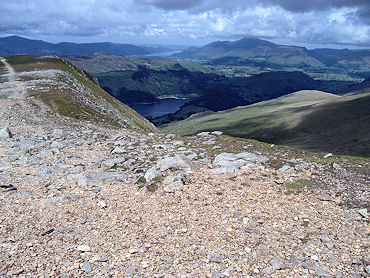
Thirlmere and Derwent Water from Helvellyn
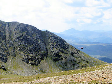
Browncove Crags
Browncove Crags
Advertisement

Join The Walking Englishman Community

Connect with other walkers, share trail photos, and keep up to date with my latest route notes.