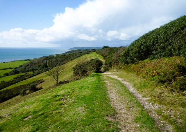
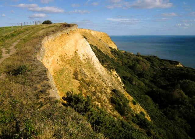
The beach, like much of the course of this walk, gives excellent views of the coastline of Lyme Bay, stretching away south-west to Lyme Regis, and east to beyond the distinctive summit of the well-named Golden Cap, the highest point on the southern coast of England.
From the beach, it is a steep climb to the cliff tops. As you climb, you skirt Cain's Folly, one of many landslips that have occurred along this notoriously crumbling coastline. The reason for the landslips is the underlying geology of the region. Porous rocks are sandwiched in between tilted layers of impervious clays and shales. Rainwater collects in the porous strata, and its weight causes areas to slide into the sea.
The scars left by these landslips are soon colonised by new vegetation. Because they are relatively inaccessible and useless as farmland, they make important new habitats for small mammals such as rabbits and foxes, as well as a wide variety of birds. Finches, tits, warblers, robins and woodpeckers all breed in these coastal enclaves, while kestrels hunt for voles and lizards all along the coast.
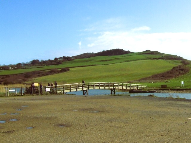
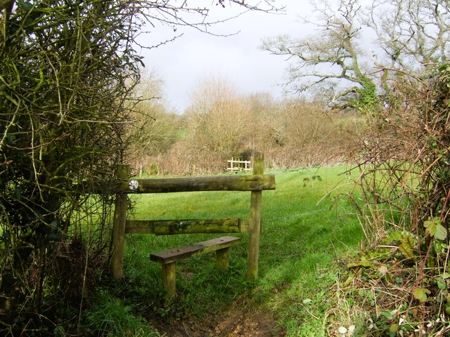
The route continues parallel with the cliff edge along the South West Coast Path through rolling cow pasture crossing small streams. The Monarch's Way long-distance footpath shares this stretch of coast too. The whole area is part of the Golden Cap Estate, which is farmed and managed by the National Trust, who make sure that fences, stiles, bridges and paths are well maintained.
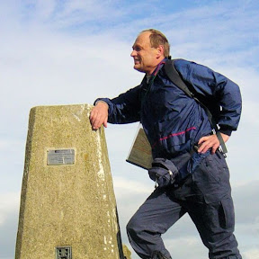
The route leaves the coast and starts to climb steadily inland, past the well-restored Ridge Barn to the hamlet of Upcot. Another climb, the last of the walk, takes you on to Chardown Hill. Here there is an opportunity for a well-earned rest as you admire the views along the coast, and inland across the Dorset Hills. The path then runs along the spine of Stonebarrow Hill and leads you towards the National Trust Information Centre, which is housed in a stone building that was once a radar station.
There is a wealth of wildflowers on the open heathland. Heather and gorse bloom profusely in late summer, and blackberries and butterflies are abundant. Much of this is due to the National Trust policy of limiting the use of pesticides and herbicides on its farmland.
From the Information Centre, you descend the way you came with views of Lyme Regis and its famous stone breakwater, the Cobb, ahead of you. If you time your return well, you will see the sunset over the sea, or the hills of Devon, depending on the time of year, as you return to the beach at Charmouth.