Wye Downs, Wye Crown, Devils Kneading Trough and Brook
Walks in South East England
Another excellent walk around the Kent Downs, this one beginning in the hilly village of Wye and after a short countryside crossing climbing to the Downs and taking in the views over first the Wye Crown and then a little later sumptuous views from the Devil's Kneading Trough.
Story by Steven Spall
Statistics and Files
Ordnance Survey Explorer Map (1:25,000):
137 Ashford, Headcorn, Chilham and Wye
The Walk
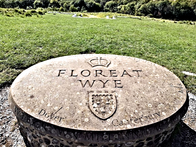
After parking head up the side of the church and past the allotments where a walking path will take you through the nurseries, across the fields, and up the hills to the Wye Crown. The views from the Crown are clear and unobstructed and well worth the walk up the hill; however, lesser known is that continuing along the North Downs Way will lead you to the Devil's Kneading Trough, a large clough in the landscape which is a very impressive feature.
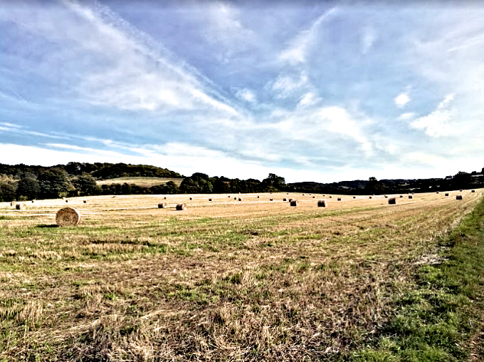
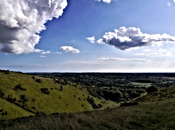
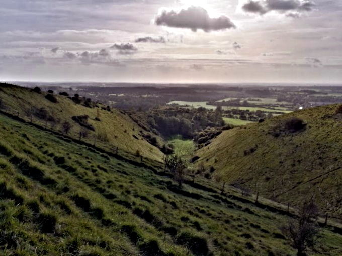
A path along the side of the clough will drop out in the hamlet (village) of Brook where a trail opposite the pub leads across the valley and back to Wye just in time for lunch at the Wye Coffee Shop and Kitchen.
Pictures courtesy of Kate Cash.
