Wainwright's Coast to Coast Walk
A personal record of my walk in 1994 with written journal and photographs. Tracklogs for GPS units and for use with Google Earth are available for download for each stage.
Journal, Photographs and Download Files
Stage 2: Glaisdale to Clay Bank Top
Google Maps Open Source Maps| Statistics and Files | ||
|---|---|---|
| Start: Glaisdale | Finish: Clay Bank Top | Distance: 17.5 miles (28.2 km) |
| Time: 7-9 hours | Climbing: 639 metres | Rating: Hard |
| GPX Route File | Google Earth File | About Glaisdale |
| Statistics | |
|---|---|
| Start: Glaisdale | Finish: Clay Bank Top |
| Distance: 17.5 miles (28.2 km) | Time: 7-9 hours |
| Climbing: 639 metres | Rating: Hard |
| GPX Route File | Google Earth File |
Ordnance Survey Explorer Map (1:25,000)
Stage Report
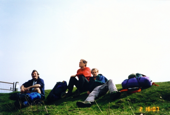
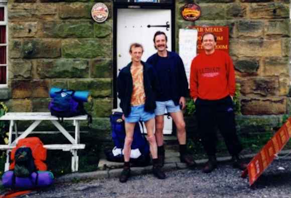 In high spirits on beginning day two
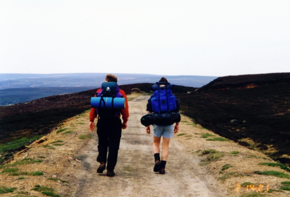 On the long moorland walk at Bloworth Crossing
There was no easy way to begin today's walking. It's uphill from the first step so I took a deep breath as I set off and left Glaisdale village. I had a stinking headache but took heart from the fact that after a couple of hours all the climbing would be done and I could enjoy the great views from on the plateau of the North York Moors like the view of Great Fryupdale from Glaisdale Rigg.
Note: When planning to do the Coast to Coast take into consideration what you want to gain from the walk. For example, at times walking on the North York Moors can be pretty boring as it is a level heather covered area so it's best to do it when the heather is in bloom, that is late June to August. When in bloom the area is so pretty.
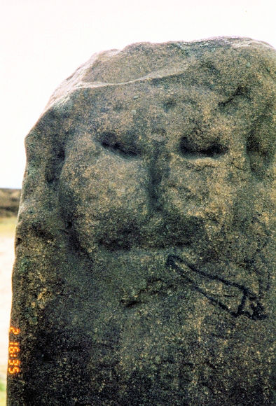 This stone ignores today's health warnings
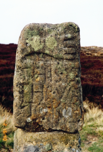 We're going in the other direction
After the track walking amid the great moorland views we walked for the next few miles on a boring metalled road. This started at High Moor and lasted until we reached the haven of the Lion Inn at Blakey Howe. This popular pub lies at the halfway point of the day. It is a favourite watering hole for Coast to Coast walkers for there are no more until the end of the day. At the pub we did our duty and had a beer as we knew it was easy from here to Clay Bank Top. After our pints we left the pub and followed a dismantled railway track to Bloworth Crossing and then an easy path to the highest point of the day at Round Hill. We then walked down to our days conclusion at Clay Bank Top. After our invigorating pint in The Lion Inn we bounced our way along this stretch. The weather was superb and we really enjoyed ourselves. We were getting into the spirit of our Coast to Coast walk now.
 Having a well earned rest at Carr Ridge
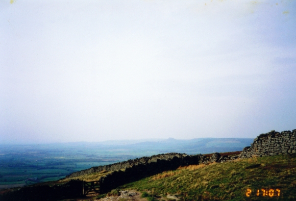 The gate leads down to Clay Bank Top
On this part of the walk look out for the stones marking the route. Some are more than mere stones so look at them closely. You will also get good views along the way into Farndale and towards the end, the Vale of Mowbray. Bear in mind the finish to the day as in terms of accommodation this is a stop you must plan in advance. There are no facilities at Clay Bank apart from farms and a campsite at Urra, nearly a mile down the Helmsley road. The nearest habitation of note is Great Broughton, towards Stokesley. We organised a taxi and stayed in Swainby as Dave and I know the village well. Incidentally, for sporting historians, on this day, 2 May 1994 the Grand Prix driver Ayton Senna was killed and Steven Hendry beat Jimmy White 18-17 in the World Snooker Final. It is safe to say this day is imprinted in my memory and all because of the super Coast to Coast walk.


