Wainwright's Coast to Coast Walk
A personal record of my walk in 1994 with written journal and photographs. Tracklogs for GPS units and for use with Google Earth are available for download for each stage.
Journal, Photographs and Download Files
Stage 4: Brompton to Richmond
Google Maps Open Source Maps| Statistics and Files | ||
|---|---|---|
| Start: Brompton | Finish: Richmond | Distance: 16 miles (25.8 km) |
| Time: 7-8 hours | Climbing: 293 metres | Rating: Hard |
| GPX Route File | Google Earth File | About Brompton |
| Statistics | |
|---|---|
| Start: Brompton | Finish: Richmond |
| Distance: 16 miles (25.8 km) | Time: 7-8 hours |
| Climbing: 293 metres | Rating: Hard |
| GPX Route File | Google Earth File |
Ordnance Survey Explorer Map (1:25,000)
Stage Report
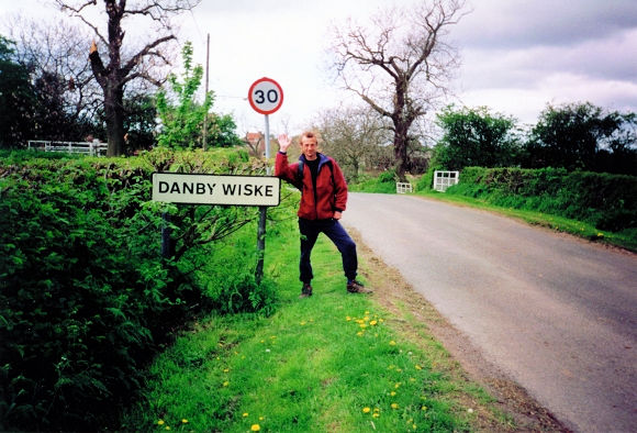 Dave hails our arrival in Danby Wiske
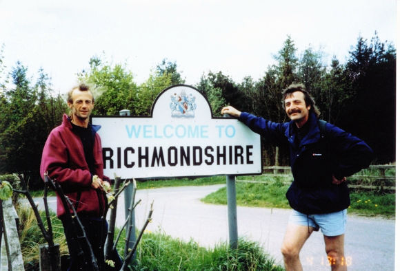 Welcome to Richmondshire
By walking on to Brompton yesterday we cut today's walking from 23 to 18 miles. As we all were feeling our blisters now it was just as well. Nevertheless this leg is entirely flat and involves a fair percentage of road walking which was going to take its full toll on me today. I was feeling OK as we left Brompton although the first few steps were sore on my feet. We were refreshed though and walking with our usual enthusiasm as we rejoined the official Coast to Coast path at Lovesome Hill. From here we covered the next 8 miles on metalled roads via Danby Wiske where we did the traditional ritual of signing the Coast to Coast book in the village pub. After Danby Wiske the next couple of hours were a dirge. It was a boring part of the walk although you can get up a good pace and clock up the miles quickly. That's if your feet are up to it and mine were not. The road walking was annoying me. My feet were hot and I knew it was not doing me good. Dave and Steve were coping much better than I and just kept going. It's a good job they did.
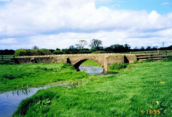 A bridge to Laylands Farm near Bolton on Swale
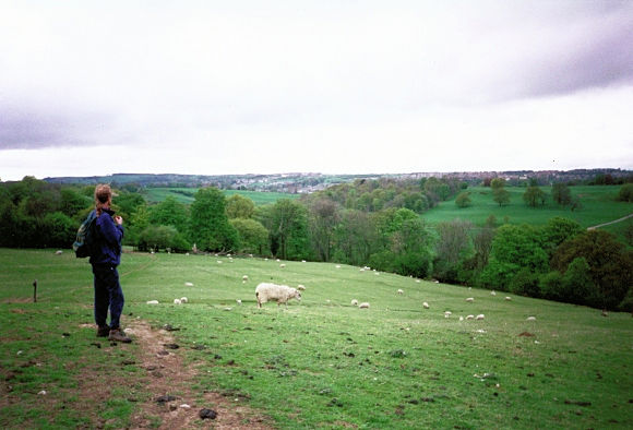 Dave looks toward Richmond and Swaledale
After what seemed an eternity we finally left the road at Ellerton Hill and crossed fields towards Bolton on Swale. My feet soon felt relief and cooled a little in the longish grass. Once in the village we headed for the churchyard to show Steve a famous local epitaph. In the graveyard is the gravestone of Henry Jenkins who lived to 169 years old, a great example of longevity. After seeking out Henry's resting place we left Bolton. The going got easier as the roads were now behind us and at Tancred Grange we meet what was to become a close companion for the next few days, the River Swale. We walked alongside the Swale to Catterick Bridge and then endured a deafening noise as we went under a bridge that accommodates the A1. Soon it was peaceful again as we walked the next few miles walking across fields, dells and copses all the way to Richmond. On the final approach we looked over the Swale to Easby Abbey and then joined the A6136 roadside to walk into the town. Once we hit the road I was suffering again and struggled on the road walk uphill into the town. I was bushed and the end of today's walking had not come a moment too soon.
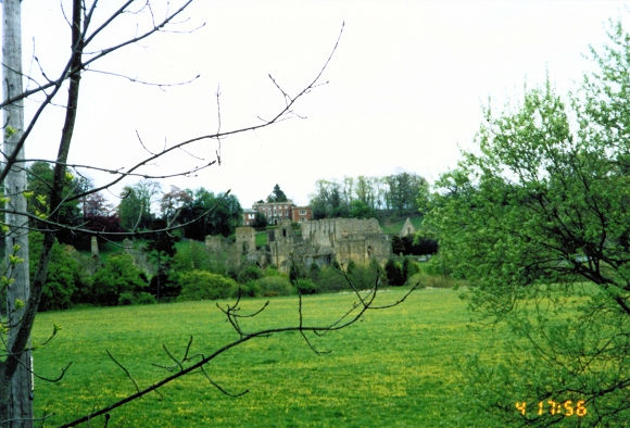 Easby Abbey is near the Coast to Coast path
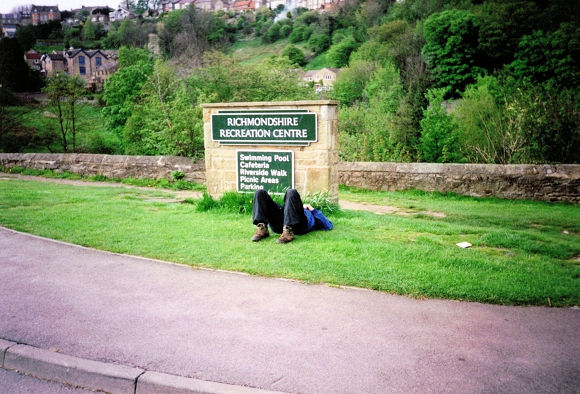 Finally in Richmond. I am absolutely knackered
The night in Richmond was my worst nightmare. Dave and Steve were relatively OK but my feet were totally shot and blistered badly on the soles and heels of both feet. They stayed in a campsite but I had to book a hotel as I was suffering really badly. I crawled into the bath, crawled out again and left my feet out in the air to aid recovery. I could not get to dinner so had some brought up and stayed in bed the whole time until I had to get up. On doing so gingerly I got downstairs (somehow!) to have breakfast to re-energize myself and meet the boys. I was feeling really bad and only my determination kept me motivated to keep going.


