Wainwright's Coast to Coast Walk
A personal record of my walk in 1994 with written journal and photographs. Tracklogs for GPS units and for use with Google Earth are available for download for each stage.
Journal, Photographs and Download Files
Stage 11: Rosthwaite to Ennerdale Bridge
Google Maps Open Source Maps| Statistics and Files | ||
|---|---|---|
| Start:Rosthwaite | Finish: Ennerdale Bridge | Distance: 14.4 miles (23.1 km) |
| Time: 5-7 hours | Climbing: 805 metres | Rating: Hard |
| GPX Route File | Google Earth File | About Rosthwaite |
| Statistics | |
|---|---|
| Start:Rosthwaite | Finish: Ennerdale Bridge |
| Distance: 14.4 miles (23.1 km) | Time: 5-7 hours |
| Climbing: 805 metres | Rating: Hard |
| GPX Route File | Google Earth File |
Ordnance Survey Explorer Map (1:25,000)
Stage Report
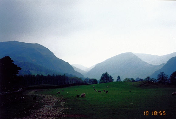 Borrowdale
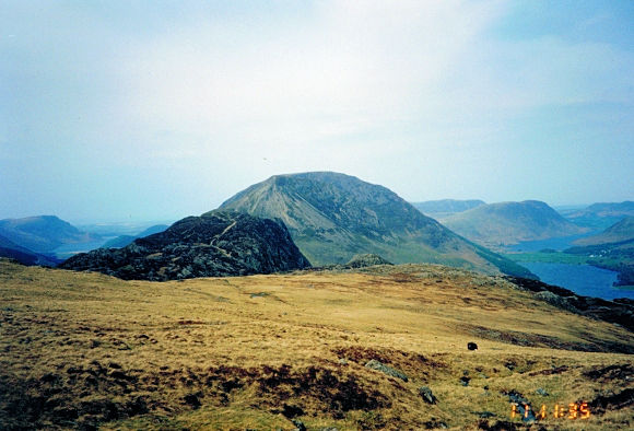 Haystacks, Buttermere and Crummock Water
Ten days behind us and with two remaining, spirits are high. A good night out in the town in Keswick was quickly forgotten at the start of today though as we faced a stiff roadside climb from Rosthwaite to Honister Hause. And it was tough dragging myself up the hill after Seatoller. One too many last night I think! Eventually I followed the two trailblazers to the top and at the slate factory in Honister Hause we left the road and followed the dismantled tramway once used to bring the slate down from the fells to Fleetwith where fantastic views of the High Stile Ridge with Lakes to either side could be seen. From here we turned temporarily south to flank the impressive Grey Knotts and track on a level ridge towards Seavy Knott. At this point we could have taken the High Stile alternative but declined and dropped steeply and precariously at times on scree to the isolated Black Sail Hut Youth Hostel at the deserted end of Ennerdale Forest.
 Haystacks still holds on to the last winter snow
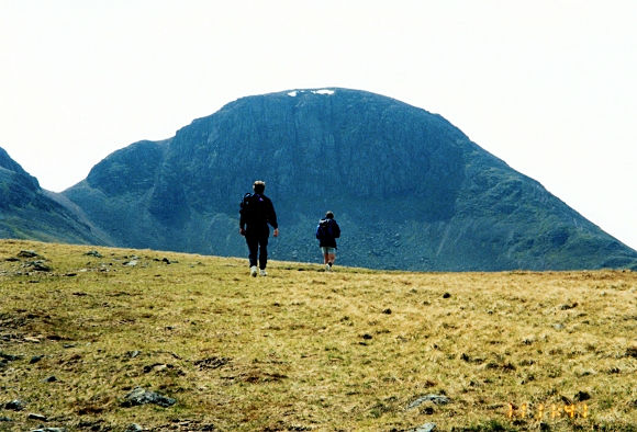
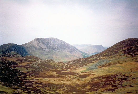 Crossing Seavy Knott into Ennerdale
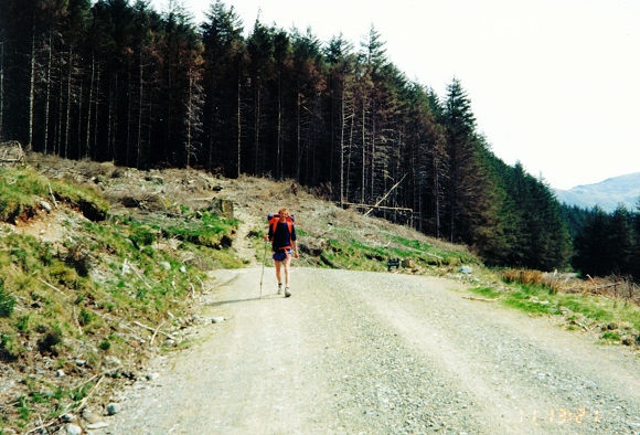
After Black Sail we walked for over 4 laborious miles following a rangers road through the uninspiring coniferous Ennerdale Forest. I was bored silly, and only relieved by the anticipation of Ennerdale Water and our final evening in Ennerdale Bridge. After the fantastic views on the Lakeland Fells this section was not nice.
(Note - the weather was great today and after staying at height on the High Stile Ridge five years later during my 1999 walk I wish Dave and Steve had taken the decision to do this alternative. It is much better than what was to follow and if the weather is anything but awful I recommend you do it. It is demanding but not too difficult if taken easily, and it cuts out the entire forest dirge)
 Emerging from the darkness of Ennerdale Forest
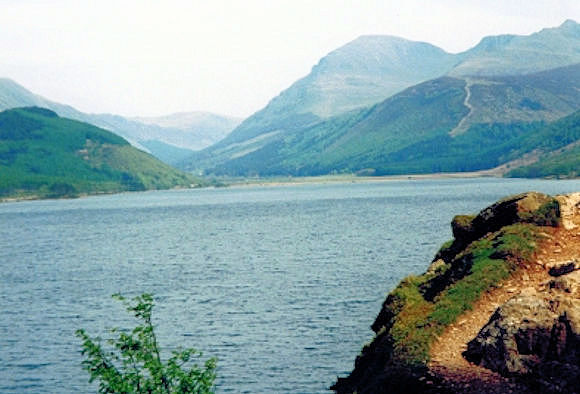 The sight of Ennerdale Water is a welcome relief
After the most boring and mentally painful hour of the entire walk the forest was overcome. I was relieved, as were the boys and we were welcomed from leaving the darkness of the forest by the beautiful sight of Ennerdale Water with the High Stile Range to it's left and the Pillar Range to it's right. We quickly made our way across to the southern bank of Ennerdale Water to start our enjoyable walk along it's edge. We walked in glorious sunshine to the outcrop of Robin Hood's Seat where we took our final break of the day. We stayed for a while and had a snack before walking through woods and then alongside roads into Ennerdale Bridge. It had been a hard but super walk today (Forest walk apart) and when we found our accommodation Steve fell asleep in an armchair within seconds!


