Tour de Paris GR®75 Long Distance Footpath
The GR®75 (Tour de Paris) is a 50-kilometre long-distance hiking loop that encircles the entire city of Paris, which showcases the city's green spaces and sporting heritage.
Google Maps Open Source Maps| Statistics and Files | ||
|---|---|---|
| Start: Porte de la Villette | Latitude: 48.897282 | Longitude: 2.385524 |
| Distance: 32 miles (50 km) | Climbing: 370 metres | Walk Time: 2-3 Days |
| GPX Route File | Google Earth File | About the Walk |
| Statistics | |
|---|---|
| Start: Porte de la Villette | Distance: 32 miles (50 km) |
| Latitude: 48.897282 | Longitude: 2.385524 |
| Climbing: 370 metres | Walk Time: 2-3 Days |
| GPX Route File | Google Earth File |
Suggested Map:
Summary:
The GR®75 (Tour de Paris) is a 50-kilometre long-distance hiking loop that encircles the entire city of Paris. Created by the Fédération Française de la Randonnée Pédestre (FFRandonnée) to support the Paris 2024 Olympic bid, it showcases the city's green spaces and sporting heritage.
The hike begins at Porte de la Villette and highlights include the Bois de Vincennes, Parc de Bercy, Parc Kellermann, Parc André-Citroën, and Bois de Boulogne. Architectural highlights include the Palais de la Porte Dorée, the National Library of France, Stade Charléty, and the Cité Universitaire.
With the walk being entirely within the boundaries of France's capital city there is no problem with accommodation during the walk - and with the numerous options for avail oneself of the use of public transport, then you can use a single base and commute to each stage or alternatively use accommodation along the course of the route.
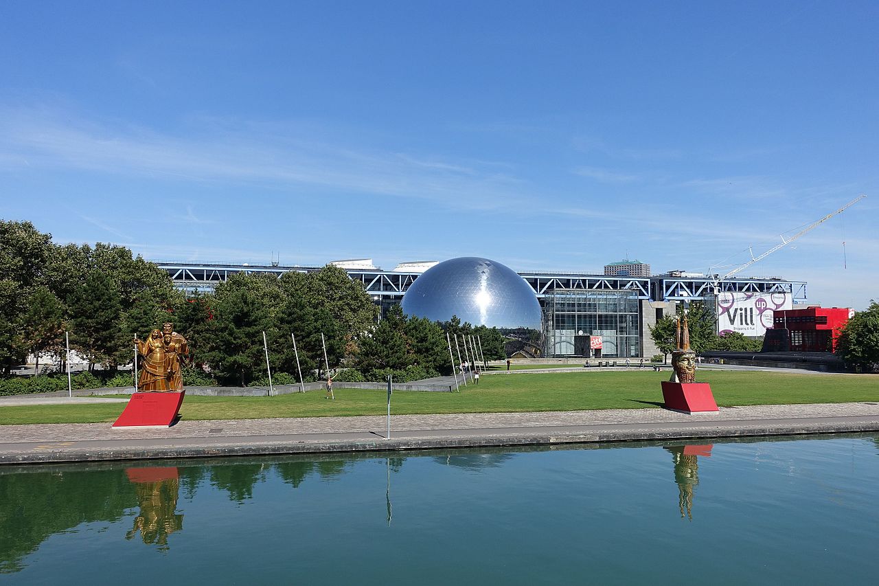 Parc de la Villette, Cité des Sciences and the Géode
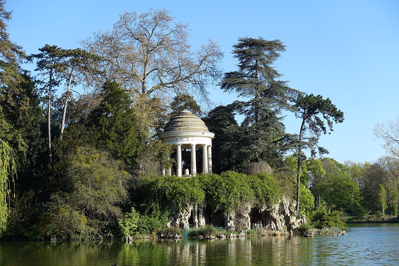 Temple at Lac Daumesnil, Bois de Vincennes
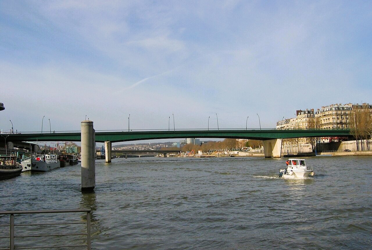 Pont du Garigliano where the GR®75 crosses the Seine
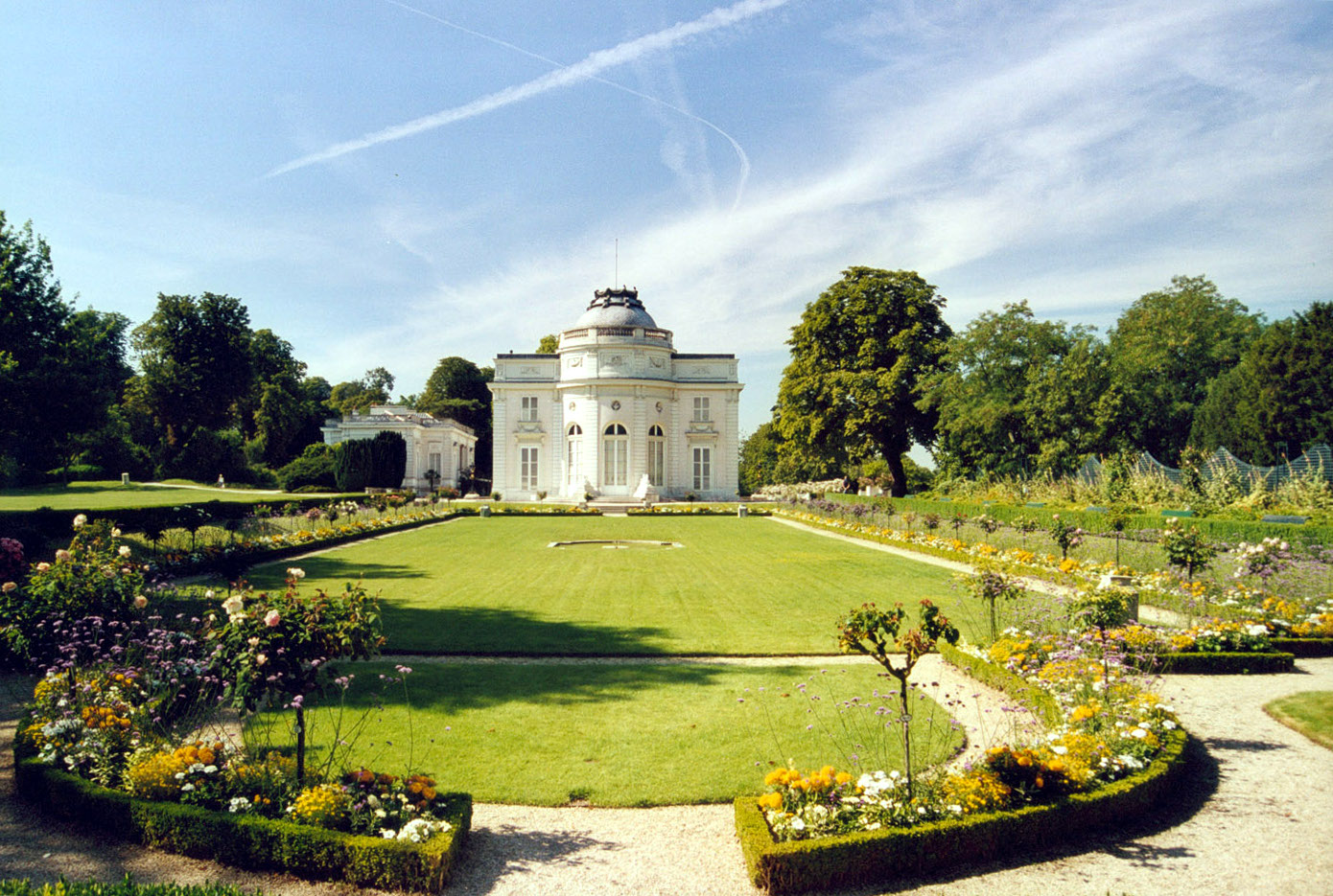 Château de Bagatelle, Bois de Boulogne
The hike begins at Porte de la Villette and highlights include the Bois de Vincennes, Parc de Bercy, Parc Kellermann, Parc André-Citroën, and Bois de Boulogne. Architectural highlights include the Palais de la Porte Dorée, the National Library of France, Stade Charléty, and the Cité Universitaire.
With the walk being entirely within the boundaries of France's capital city there is no problem with accommodation during the walk - and with the numerous options for avail oneself of the use of public transport, then you can use a single base and commute to each stage or alternatively use accommodation along the course of the route.
Parc de la Villette, Cité des Sciences and the GéodeTemple at Lac Daumesnil, Bois de VincennesPont du Garigliano where the GR®75 crosses the SeineChâteau de Bagatelle, Bois de BoulognePictures, courtesy of Wikipedia
Useful Links:
The official guidebook for the GR®75 Tour de Paris long-distance footpath is the French-language "topo-guide" published by the Fédération Française de la Randonnée Pédestre (FFRandonnée). There does not appear to be an official English translation of this specific guide. A couple of English guides to Paris walks in general are included below:
Walks and Tours Paris
Moon Paris Walks
Feedback and Suggestions: To suggest a link for inclusion on a this page please complete the Walking Englishman Feedback Form. Thank you.


