Summary: Undertaken on a miserable winter's day in the company of Tim Nobes and John Lister, this walk originally intended to tackle four Wainwright fells. Due to fast-melting snow making Mungrisdale Common a nightmare, we completed two (Bowscale Fell and Bannerdale Crags) and saved Souther Fell for a better day. Despite the conditions, the close-up views of the interlocking spur hills of the River Glendermackin valley and an old disused lead mine made for a memorable adventure, capped off nicely with pints at the Mill Inn in Mungrisdale.
The Walk Report
We had planned this walk for some time. Tim and I had discussed it on Facebook, deciding to do a final year-end walk on the Wednesday before Christmas. I would travel from Harrogate and Tim from Kendal to meet in Mungrisdale village and attempt a walk of four Wainwrights—both of us working toward completing the 214 set. Following our planning, I contacted John to see if he and his wife Joanne would like to join us. John agreed, though Joanne had final Christmas missions to accomplish (not all of which, as it turned out, were achievable!).
There is a risk with planning walks in advance during bleak midwinter, especially when traveling some distance. The risk is reliance on the weather, and this time it let us down. In the days leading up to the walk, I enthusiastically watched forecasts predicting snow on the mountains, fancying a crisp snow walk. However, a warm low-pressure belt swept in from the west overnight, bringing melting rain. Waking up to a miserable wet scene, we pressed on anyway. Meeting John at Brough and Tim at Mungrisdale, Tim joked on Facebook: "Last one to arrive buys the drinks after the walk." I thanked him for his generosity!
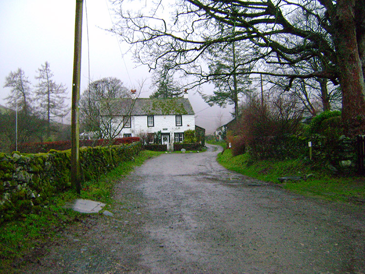
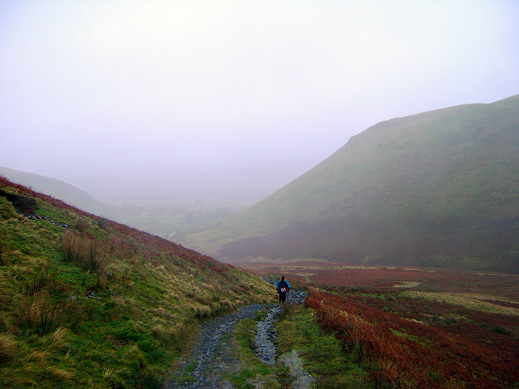
Following the track from MungrisdaleBeginning the ascent of Bowscale Fell
Despite low cloud and persistent drizzle, we were in good spirits. Suitably attired in wet gear, we walked out of Mungrisdale taking a due west course along the fell track following the River Glendermackin upstream, then forked right to walk up the south side of Bowscale Fell toward Pile of Stones.
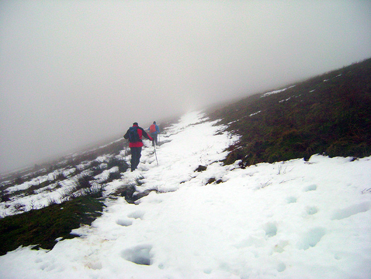
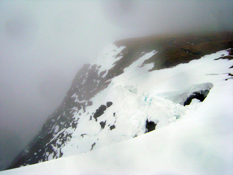
As we ascended, the snow was in rapid melt, turning our path into a fast-flowing stream. We were often forced onto edge tussocks, occasionally breaking through knee-deep into hidden stream channels beneath the snow. We also kept a careful distance from snow cornices overhanging left-hand drop-offs.
Trudging through melting snow into cloudDangerous snow cornice on Bowscale Fell
After nearly two miles and 1,000 feet of ascent, we struggled through blizzard-like conditions near the summit. Here, a cold realization hit me: my trusty Meindl Burma boots, faithful companions across the 1,000-mile walk over six years, were finally leaking freezing water into my left toes! My hands were soaking through too. Feeling the bitter wind and horizontal rain, we trudged in silence before reaching Bowscale Fell summit.
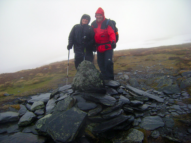
After a quick hot drink by the pile of stones, we pushed on to Bannerdale Crags. Finding nothing to see in the thick whiteout, we headed down toward the pass at the head of Mungrisdale Common.
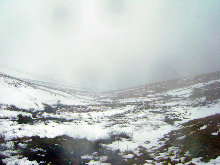
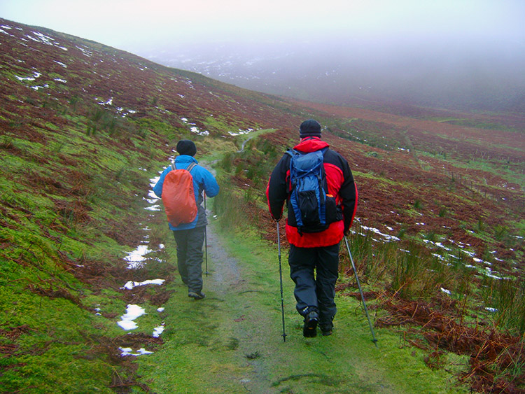
Bedraggled walkers on the summit of Bowscale FellThe whiteout of Mungrisdale Common
Attempting to cross Mungrisdale Common proved miserable; we kept collapsing through the melting snow, with John and me both taking two heavy tumbles into ice and water. Admitting defeat, we turned back to the pass and decided to head straight down to Mungrisdale following the River Glendermackin. Descending out of the worst wind, we found shelter near an old lead mine to eat hot soup and warm our hands.
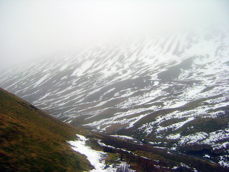
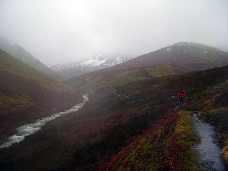
Still in cloud on the descent to MungrisdaleJohn and Tim descend to better conditions
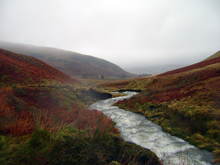
As we descended into the valley, we agreed to leave Souther Fell for a better day. Lower down, we were struck by the interlocking spurs of the Mungrisdale and Bannerdale fells displaying glowing reds, browns, and contrasting greens against the rushing grey Glendermackin.
Changing into dry socks and shoes back in the village, we headed straight to the warmth of the Mill Inn. True to his word, Tim offered to buy drinks, though John got in first! We enjoyed a fantastic chat over beers about politics, morals, and our winter adventure until it was time to depart, with my left foot finally regaining feeling. A wonderfully memorable day!
Interlocking spurs in MungrisdaleRiver Glendermackin