North Downs Way Long Distance Path Directory
A National Trail and long distance walk of 153 miles in the south-east of England which traverses the full legth of the North Downs. Maps, statistics and gpx route file for the walk are included.
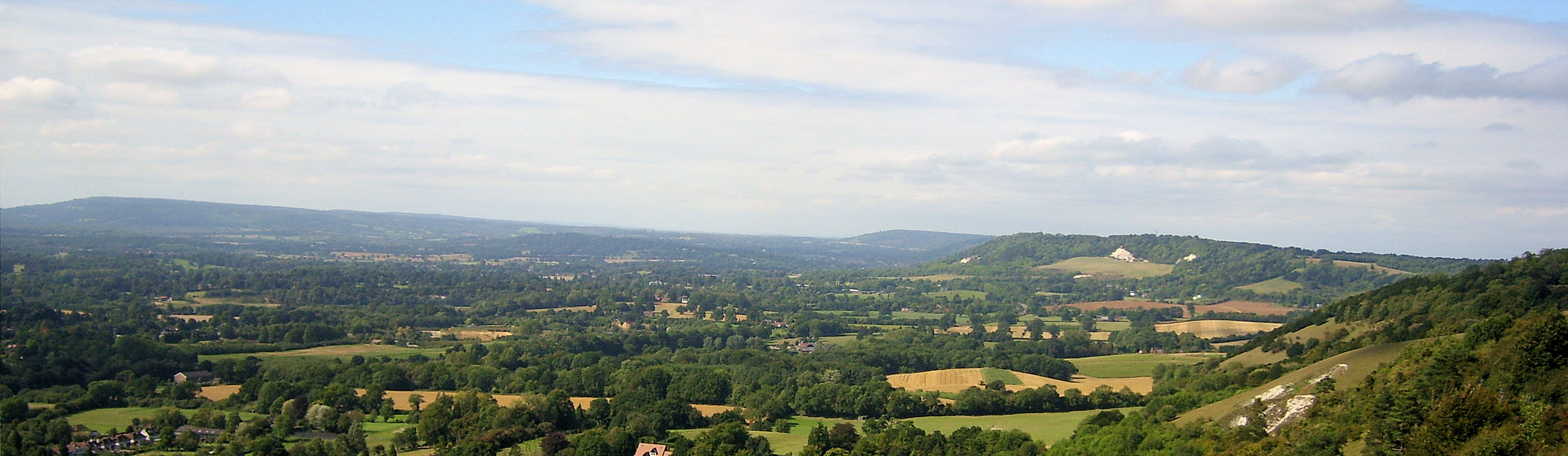
The North Downs Way is 153 miles long. It runs from Farnham on the edge of the Surrey Hills to Dover. The route follows ancient trackways along the chalk ridges and wooded downland of Surrey and Kent through Areas of Outstanding Natural Beauty, grazing the southern edge of greater London and ending at the celebrated White Cliffs, with an optional loop via Canterbury. It was opened as a National Trail in 1978. For much of its length the Way parallels the old Pilgrim's Way route between Winchester and Canterbury. Much of the traditional route of the Pilgrim's Way is now part of the modern road network and walkers wishing to follow it are advised to use the North Downs Way as an alternative.
Google Maps Open Source MapsThe best web sites for General Information and Planning:
North Downs Way A great site which provides comprehensive guides to the different sections of the North Downs Way. Includes an accommodation guide, booking service providers, and much more.National Trails of Great Britain Detailed site providing details on the route. Includes an accommodation guide, booking service providers, maps required.
The best web sites for Guided Walking:
Walkawhile provide a self guided or accompanied walking service for the North Downs Way. Various options available.The web sites that organise accommodation and/ or baggage transfer:
Contours Full range of self guided walking services.Macs Adventure Specialises in self-guided walking holidays in England.
Xplore Britain Full range of self guided walking services.
Ramblefest A dedicated webpage is provided on the North Downs Way.
The best web sites for you to plan your accommodation:
S H Systems Excellent range of accommodation. Just type in the location to bring up a list of accommodation in the area. You can sort by price, postcode or rating.The best personal journals of the walk:
Kevan Wilkinson Kevan has put a superb report together, the best on the web.Sara Davies Sara says "A group of us walked the NDW this year (2007). There are some really nice photos taken by one of my walking companions. If you have time, do dip into it." It is a nice report on the walk.
The essential sites for safety advice and emergency services:
Ramblers Association Practical walking advice on keeping safe including a guide to map reading, navigation and a detailed list of the essential gear required on a long distance walk.Mountain Rescue UK You may need them so take their advice.
Add a service to this Directory
Feedback and Suggestions:
I am always pleased to received feedback on the structure and content of the website. I also welcome suggestions on how I can improve the website which may include new areas to cover, new walks or route alterations to existing walks. To get in touch with feedback and/ or suggestions please contact me on one of my social media links. Thank you.
(Note: Walking without proper preparation can be dangerous. Information and downloads on this website are provided free of charge; it is each walker's responsibility to check the material and use accordingly. Postscript: My walk reports are not route guides and should not be treated as such. They are written with personal reflections of my walks)