County Tops of England: Hampshire
Pilot Hill: 286 metres (Grid Ref: SU398601)
Google Maps Open Source Maps| Route Statistics and Files | ||
|---|---|---|
| Start: Car Park | Grid Ref: SU379616 | Distance: 4.0 miles (6.5 km) |
| Climbing: 103 metres | Time: 2 hours | Rating: Easy |
| GPX Route File | Google Earth File | Map: 158 Newbury and Hungerford |
| Statistics | |
|---|---|
| Start: Car Park | Grid Ref: SU379616 |
| Distance: 4.0 miles (6.5 km) | Time: 2 hours |
| Climbing: 103 metres | Rating: Easy |
| GPX Route File | Google Earth File |
| Map: 158 Newbury and Hungerford |
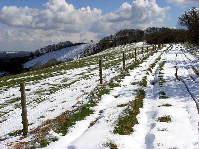
The Walk: A fairly easy walk which bags two county tops. From the start head southeast along the Wayfarer's Walk path to Pilot Hill, the county top of Hampshire. It's a gentle roller coaster, first down 30 metres and then back up 40 metres. Reverse the process having bagged Pilot Hill by returning on the same path to the car park and then continue on by climbing a further 20 metres to the summit of Walbury Hill, county top of Berkshire. That's it, BOGOF. Bagged one, got one free. Not entirely but with very little extra effort.
The Walk I Would Do: I would do this walk but extend it a little by continuing north-west to Gallows Down and Combe Gibbet.
Information: Pilot Hill is a hill in Hampshire, UK, which at 286 m (938 ft) is the highest in the county. The hill is about 10km SW of Newbury on the Hampshire/Berkshire border and is part of the north-facing scarp of the North Hampshire Downs, a chalk ridge within the North Wessex Downs Area of Outstanding Natural Beauty. The upper slopes are open calcareous grassland, while the lower slopes are wooded. The north face of the hill lies in West Berkshire. (Source: Wikipedia)


