County Tops of England: Kent
Betsom's Hill: 251 metres (Grid Ref: TQ435563)
Google Maps Open Source Maps| Route Statistics and Files | ||
|---|---|---|
| Start: Roadside of A233 | Grid Ref: TQ436564 | Distance: 0.1 mile (175 m) |
| Climbing: 5 metres | Time: 5 minutes | Rating: Easy |
| GPX Route File | Google Earth File | Map: 146 Dorking, Box Hill and Reigate |
| Statistics | |
|---|---|
| Start: Roadside of A233 | Grid Ref: TQ436564 |
| Distance: 0.1 mile (175 m) | Time: 5 minutes |
| Climbing: 5 metres | Rating: Easy |
| GPX Route File | Google Earth File |
| Map: 146 Dorking, Box Hill and Reigate |
The Walk: From the roadside walk west about 80 yards along the access road to Old Fort Bungalow. Jump up and down, turn around and walk back. Tick the box.
The Walk I Would Do: The highest point in Kent may be boring in itself but just to the south is a lovely section of the North Downs Way. Having made my way to claim the county top I would satisfy myself with a walk along a good stretch of the North Downs.
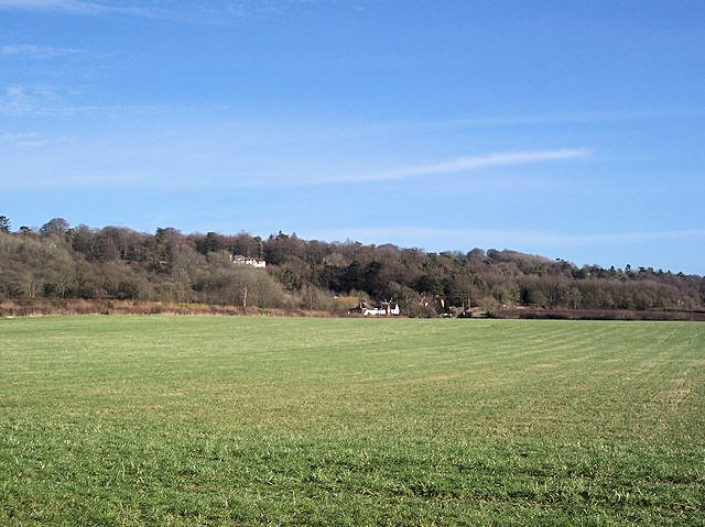
Information: Betsom's Hill is a hill on the North Downs, and the highest point in the county of Kent at 251 metres (823 ft). Situated between Westerham and Tatsfield, at the western edge of the county, it lies close to where the A233 crosses the Downs en route to Biggin Hill. This is the highest part of the North Downs, with Botley Hill the highest point, nearby to the west. The hill lies at the western end of the Kent Downs, an area of outstanding natural beauty. (Source: Wikipedia)


