County Tops of England: Oxfordshire
Bald Hill: 257 metres (Grid Ref: SU729957)
Google Maps Open Source Maps| Route Statistics and Files | ||
|---|---|---|
| Start: Roadside car park | Grid Ref: SU726958 | Distance: 0.3 miles (0.5 km) |
| Climbing: 3 metres | Time: 20 minutes | Rating: Easy |
| GPX Route File | Google Earth File | Map: 171 Chiltern Hills West, Henley-on-Thames and Wallingford |
| Statistics | |
|---|---|
| Start: Roadside car park | Grid Ref: SU726958 |
| Distance: 0.3 miles (0.5 km) | Time: 20 minutes |
| Climbing: 3 metres | Rating: Easy |
| GPX Route File | Google Earth File |
| Map: 171 Chiltern Hills West, Henley-on-Thames and Wallingford |
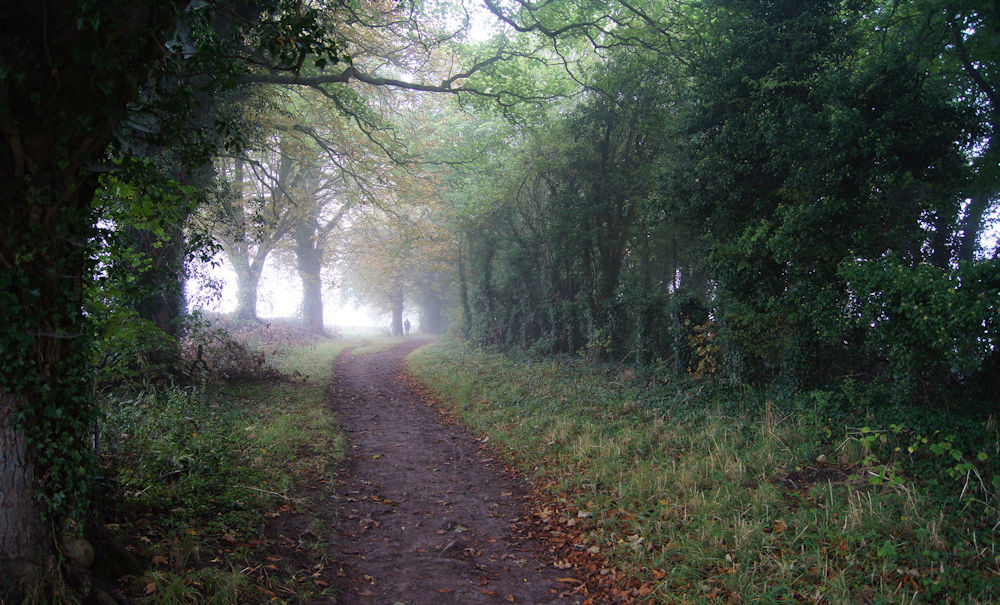
The Walk: To reach the traditional county top of Oxfordshire start out from the car park set beside the Ridgeway National Trail. Follow a path heading south-east-through Cowleaze Wood for just approximately 250 metres and you will have reached the county top of Oxfordshire. Turn around and walk back. The task is accomplished.
The Walk I Would Do: The walk to the traditional county top of Oxfordshire is close to a splendid stretch of the Ridgeway National Trail. It is also an outlier of the Chiltern Hills. I would therefore create a circular walk to enjoy both aspects of the area and to include Bald Hill as my starting point. (Note: Bald Hill was one of a number of pre-1974 county tops which lost the distinction in the redrawing of the county boundaries. White Horse Hill is now Oxfordshire's county top)
Information: Oxfordshire has major education and tourist industries and is noted for the concentration of performance motor sport companies and facilities. Oxford University Press is the largest firm among a concentration of print and publishing firms; the University of Oxford is also linked to the concentration of local biotechnology companies. The main centre of population is the city of Oxford. Other significant settlements are Banbury, Bicester, Kidlington and Chipping Norton to the north of Oxford; Carterton and Witney to the west; Thame and Chinnor to the east; and Abingdon, Wantage, Didcot, Wallingford and Henley-on-Thames to the south. (Source: Wikipedia)


