Rutland Water, Empingham, Greetham, Exton and Whitwell
This walk of 11.5 miles can start from any point along the route. I would always recommend parking, with consideration, in a village, as cars have been broken into at isolated locations. Having said that, Greetham is not the best parking location and Exton can get busy so I have started at the Whitwell Rutland Water car park where there is a charge for parking.
(Note: This walk is kindly contributed by Ken Brockway)
Google Maps
Open Source Maps
| Statistics and Files | ||
|---|---|---|
| Start: Whitwell Rutland Water car park | Distance: 11.4 miles (18.4 km) | Climbing: 212 metres |
| Grid Ref: SK923083 | Time: 4-5 hours | Rating: Hard |
| GPX Route File | Google Earth File | About Rutland Water |
| Statistics | |
|---|---|
| Start: Whitwell Rutland Water car park | Distance: 11.4 miles (18.4 km) |
| Grid Ref: SK923083 | Time: 4-5 hours |
| Climbing: 212 metres | Rating: Hard |
| GPX Route File | Google Earth File |
Ordnance Survey Explorer Map (1:25,000)
The Walk:
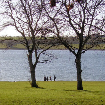 Rutland Water at Whitwell
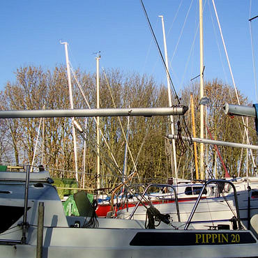 Waiting for a breeze
The Whitwell site at Rutland Water offers more than water related activities. With cycles for hire, a climbing wall and high ropes adventure there is plenty to do, if you are willing to pay the price. Leaving the busy car park our track takes us through the sailing dingy parking area. I had a meander among the boats looking for a picture to show the blend of activities available here. It did not surprise me to find that many of the craft appear to have been abandoned in the parking lot long before the last autumn. The more we have the less we appreciate it.
The first mile and a quarter is along the popular perimeter path but as this prepares to cross the dam embankment we leave the crowds behind and take an undefined section of the Hereward Way and join a dead end bridleway to Empingham. Here's there's a choice of route, forgotten those essential high energy bars? then go via the church and Barbara's Store (closed Sunday afternoon) the other loop passes the White Horse Inn.
 Horn Mill
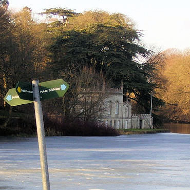 Fort Henry
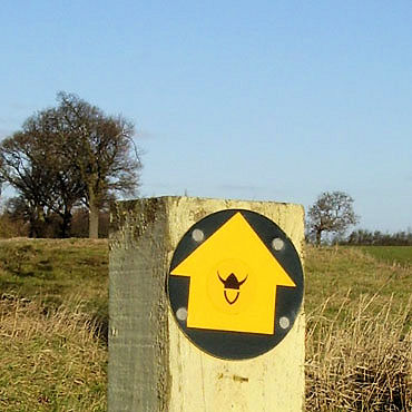
We climb out of Empingham and from the high ground at the start of the next path, should you wish to look, we can see the chimney at the huge Ketton cement works. Generally (and a pleasant surprise to me) the paths were along wide grass field headlands with the Leicestershire style yellow topped posts to help keep us on course.
Horn Mill Trout Farm appears to be a purely farming operation rather than a place where anglers try to catch their own, not difficult surely in such conditions. We now walk up the wide pastured valley of the North Brook until reaching Greetham. The walk is pleasant and the path well used. Exton Park Estate are protective of their 'private' paths with notices telling us where we should not wander. To be fair the public paths are also well marked with both Rutland County Council signs and those provided by the Estate. The Great North Road is close, but unless the wind is from the east this valley remains quiet as we approach Fort Henry a mock-gothic fishing folly built in 1788. On the day of my visit the lake remained frozen and the Fort in shadow but it still offers surprise, creating a fairy tale setting.
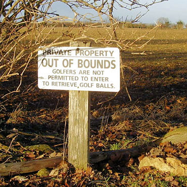 Out of Bounds
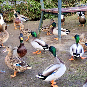 Greetham Ducks
Dragging myself away I continue up the valley and cross an embankment, too big to be a disused dam, I suspect it carried a railway to the ironstone quarries. This is now Greetham Valley Golf Club. Two courses, conference facilities, hotel, gym and cabins (for sale at just £175,000 in Jan. 2011), are some of the attractions, "set in 276 acres of picturesque countryside just a few minutes drive from Rutland Water" states the website. The footpath takes a route past all the negative features: the groundsman's dumping ground, the overflowing waste bins and the huge car parks. Still I feel a glow when I see a sign on the perimeter, it's not only ramblers who are told not to trespass, in fact our path takes us into the forbidden land. Greetham is half way so with three pubs to choose from ample refreshment is available plus a shop. There are seats at the junction with Pond Lane but you may have to share your lunch with the ducks.
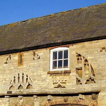 Stonemason's Folly
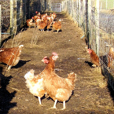 Chickens on the Vikings Way
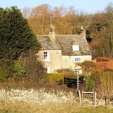
Make sure you also inspect the house at the corner of Great Lane where the stonemason, Mr Halliday used to insert pieces of carved stone into his workshop wall. Heading back south we take the Viking Way along decent headland paths passing again through a part of the Exton Estate where ironstone mining changed the profile of the land. The model village is a delight so take a tour, passing the Fox & Hounds Hotel or even entering if you wish to "drink dine dream" as offered by their website. I very much liked the appearance at 11.30am on a Sunday, that the door stood open inviting us to enter and take Morning Coffee, the perfect country inn.
 Viking Way at Exton Park
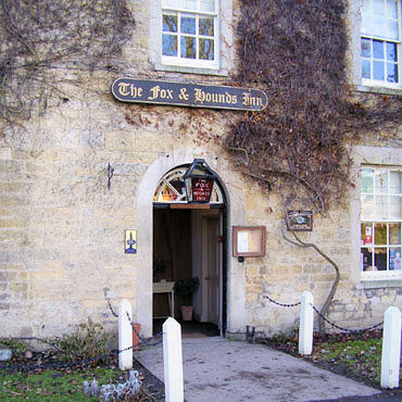 Fox & Hounds Inn at Exton
If you have the time you should visit the church because local historian W. G. Hoskins said "Exton church should be a climax for the day - after this feast of sculpture and language it would be unjust to look at any other church". Exton has been the home of the Noel family (the Earls of Gainsborough) for almost four hundred years and it shows.
As the walk nears its end approaching Whitwell we can see the expanse of Rutland Water, beyond the church of Edith Weston and on the far shore of the reservoir Normanton church, saved from destruction when the surrounding land was lost under the rising water.


