Navenby, Coleby and Boothby Graffoe
On the Lincoln Cliff, through historic countryside once occupied by the Romans
Google Maps Open Source Maps| Statistics and Files | ||
|---|---|---|
| Start: Navenby | Distance: 5.7 miles (9.2 km) | Climbing: 80 metres |
| Grid Ref: SK 98835 57861 | Time: 3 hours | Rating: Easy |
| GPX Route File | Google Earth File | About Navenby |
| Statistics | |
|---|---|
| Start: Navenby | Distance: 5.7 miles (9.2 km) |
| Climbing: 80 metres | Grid Ref: SK 98835 57861 |
| Time: 3 hours | Rating: Easy |
| GPX Route File | Google Earth File |
Ordnance Survey Explorer Map (1:25,000)
The Walk: This walk takes in one of the most attractive sections of the Lincoln Cliff, a narrow limestone ridge that runs across this part of Lincolnshire. The city of Lincoln occupies a gap made in the Cliff by the River Witham. From Lincoln, Ermine Street, the ancient Roman road, runs south along the Cliff and the walk follows it for a couple of miles (3.2 km) along a section known locally as High Dyke.
 The village of Navenby
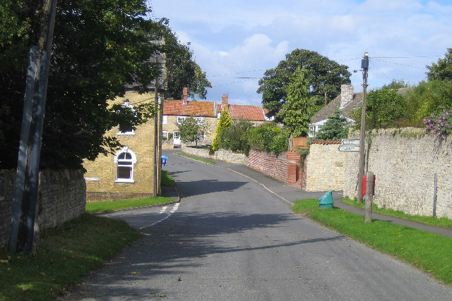 The village of Boothby Graffoe
The Cliff has many attractive villages built of the local honey coloured limestone. Navenby, where the walk starts, is one of them. Its name comes from the Norse 'Nafni by' - 'by' meaning household or village. The walk winds its way through the village and on to High Dyke.
This ancient trackway, metalled in parts, and in other places a wide hedge lined green lane, gives good views across Lincoln Heath. The Heath, an area several miles broad, was once a wild, uncultivated land and the haunt of highwaymen.
High Dyke leads on to the village of Coleby, another attractive place which has fine views across the Trent valley. From Coleby, the walk follows the Viking Way, the county's only official long distance footpath. The Viking Way starts at the Humber Bridge and crosses Lincolnshire to finish in Leicestershire, much of it following the ridge of Lincoln Cliff. It takes this walk to Boothby Graffoe, an unspoilt picturesque village, and then returns to Navenby.
If time permits, there are many other picture postcard villages to visit within easy driving distance, both north and south, along the Lincoln Cliff. Indeed, the A607 road between Grantham and Lincoln is said to be one of the most delightful in the country.
Acknowledgments: Text derived from the Out and Out Series; Discovering the Countryside on Foot. Pictures courtesy of Wikipedia.


