Walesby and Tealby
Along the Viking Way - From the Ramblers church to a beautiful village in the Lincolnshire Wolds
Google Maps Open Source Maps| Statistics and Files | ||
|---|---|---|
| Start: Walesby | Distance: 5.3 miles (8.6 km) | Climbing: 191 metres |
| Grid Ref: TF 13376 92394 | Time: 2-3 hours | Rating: Easy |
| GPX Route File | Google Earth File | About Walesby |
| Statistics | |
|---|---|
| Start: Walesby | Distance: 5.3 miles (8.6 km) |
| Climbing: 191 metres | Grid Ref: TF 13376 92394 |
| Time: 2-3 hours | Rating: Easy |
| GPX Route File | Google Earth File |
Ordnance Survey Explorer Map (1:25,000)
The Walk: The Viking Way is a long distance path joining Oakham in Leicestershire with the Humber Bridge, some 140 miles to the north-east. This walk explores a stretch running along the top of the Lincolnshire Wolds. The route begins in the village of Walesby, an ancient village - a Roman villa was unearthed here in 1861 - which can boast two churches. The one on the main street was designed in the Gothic style by the architect Temple Moore and was completed in 1914. You reach the other, the Ramblers Church, by following the Viking Way from the village to Walesby Top.
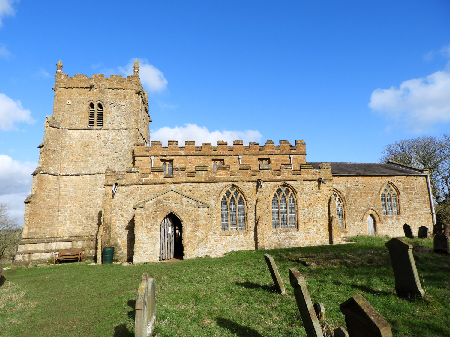 Ramblers Church, Walesby
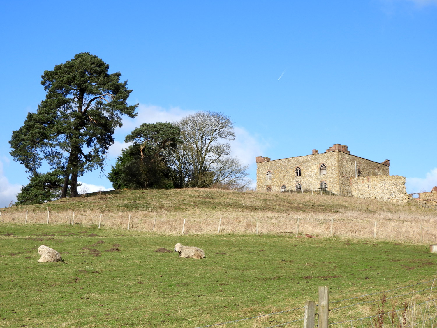 Castle Farm
The Church of All Saints is well looked after. Known nationwide as 'The Ramblers Church' is still used and cared for by Walesby PCC and The Friends of the Old Church, formed in 1980. Dating back to the 12th century the church has a unique stained glass window depicting walkers and cyclists passing through a cornfield. There are excellent views from the churchyard, which contains the Armada Beacon, one of many on a nationwide network that warned of the Spanish fleet's approach to Plymouth in 1588. The beacon was lit again on 15 July 1988 to mark the 400th anniversary of the event.
In the far corner of the next field is a memorial to Nev Cole who died in 1989. He helped form many local rambling clubs in Lincolnshire and he is now celebrated by those who walk the Nev Cole Way long distance footpath which covers 58 miles of Lincolnshire's finest walking, beginning in Burton upon Stather and ending in Nettleton.
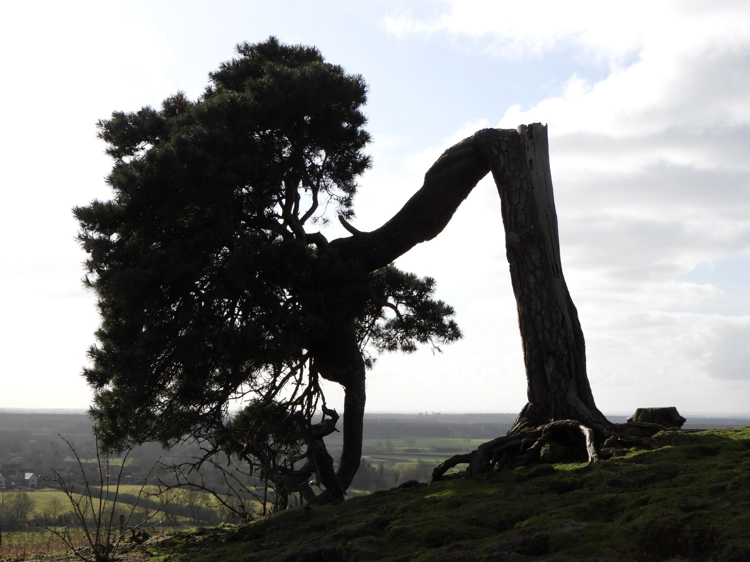 Down but not out
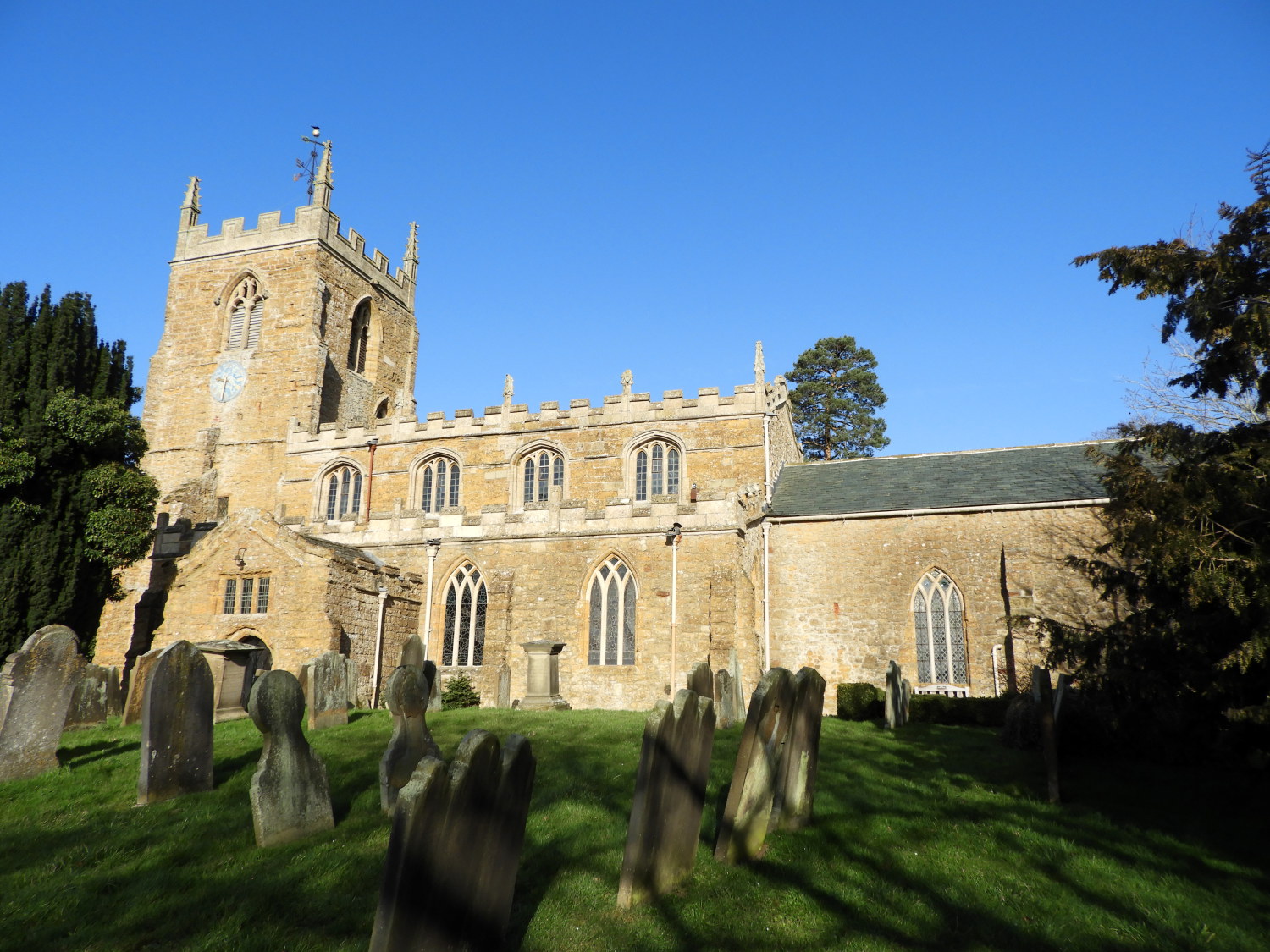 Tealby Church
The route continues from the memorial along the wolds escarpment to the village of Tealby. This section provides extensive views, stretching some 20 miles south-west to spot the unmistakable three towers of Lincoln Cathedral, one of the finest buildings in England. Tealby is considered by many to be one of the prettiest villages in Lincolnshire. The beautiful prominently sited church presides over lovely limestone cottages with picturesque gardens. The River Rase wanders through the south of the village and is crossed by charming bridges and a ford.
It is well worth taking some time to explore the village before resuming the route, which leads along bridleways and on country lanes through the farmland of the Lincolnshire Wolds. Finally, you descend the escarpment and return to Walesby by way of Catskin Lane and a path over the meadows.
Acknowledgments: Text derived from the Out and Out Series; Discovering the Countryside on Foot. Pictures courtesy of Wikipedia.


