Blackstone Edge
Exploring the wild moorland on the edge of industrial Manchester
Google Maps Open Source Maps| Statistics and Files | ||
|---|---|---|
| Start: The White House | Distance: 3.6 miles (5.7 km) | Climbing: 240 metres |
| Grid Ref: SD 96884 17881 | Time: 2 hours | Rating: Easy |
| GPX Route File | Google Earth File | About Blackstone Edge |
| Statistics | |
|---|---|
| Start: The White House | Distance: 3.6 miles (5.7 km) |
| Climbing: 240 metres | Grid Ref: SD 96884 17881 |
| Time: 2 hours | Rating: Easy |
| GPX Route File | Google Earth File |
Ordnance Survey Explorer Map (1:25,000)
The Walk: Within view of the industrial satellites of Manchester, the jagged ridge of Blackstone Edge marks the summit of an ancient route between historic Lancashire and West Yorkshire. To the south is the drone of traffic crossing between the counties on the M62 motorway but here you can enjoy peace and solitude. For much of the year the cries of moorland birds can be heard and there are fine views over the towns of Littleborough and Rochdale.
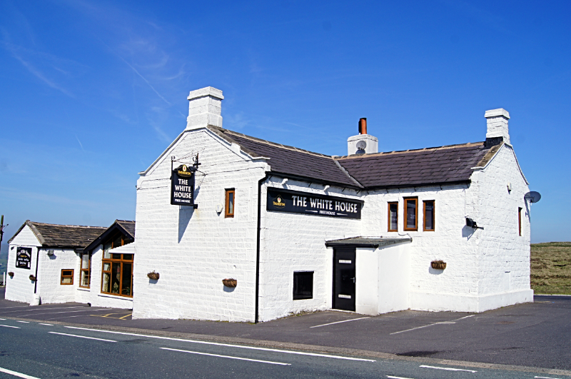 The White House
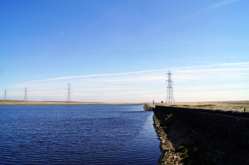 Blackstone Edge Reservoir
This wild moorland walk traces the history of road transport over the Pennines. The route over Blackstone Edge was used in the past by trains of pack-horses and later by wagons and carriages. Daniel Defoe, who wrote Robinson Crusoe, followed the route on a wild winter's day early in the 18th century and found it a daunting crossing.
The walk starts from the historic White House pub, once a coaching inn, where teams of horses were changed and passengers rested. The modern A58 road follows the line of a turnpike toll road built in the 1790's. Some of the tall stones that marked the line of the road through winter snows are still in position. Below the A58, forming part of the walk, runs an earlier coach road. Today it is a grassy terrace in the hillside. It was built in the late 1760's and replaced by a newer road on the line of the A58. Beside the road are many small, overgrown quarries, which provided material for road making. The largest, the Blue Delf, has been flooded to form an attractive pond. The Stormer Hill Toll House, where the old road rejoins the A58, was once a turnpike toll house.
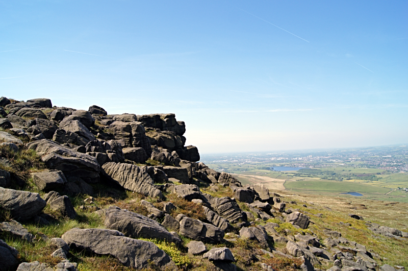 View from Blackstone Edge to Rochdale
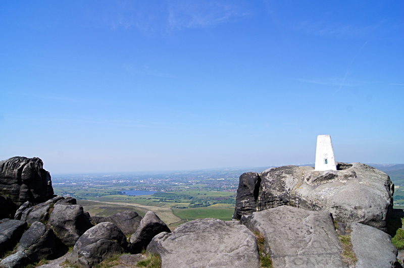 Trig pillar on Blackstone Edge
The track that comes down to the cottages at Lydgate was formerly the main packhorse road over Blackstone Edge. It has been deeply hollowed in places by centuries of traffic. The road that climbs towards the summit of the pass is very different though. As the slope steepens there are smooth, round cobbles among the peat and turf. Higher up, the full extent of this fine, paved roadway becomes evident.
Of all the old roads around Blackstone Edge, this one has caused the most controversy. On the map, it is marked as a Roman road and many textbooks refer to it as the best preserved section of Roman road in Britain. There are though, serious doubts about its age. Halfway up the slope there is a passing place where a medieval packhorse track passes under the causeway. This suggests the road is relatively recent - possibly a turnpike from the 1760's, which was abandoned due to its steep gradient.
At the summit of the pass the causeway and packhorse road meet at the Aiggin Stone, an upright block with a worn, crudely incised cross. This is a good place to pause for breath and admire the view to the distant factories chimneys of industrial Lancashire and the long line of gritstone outcrops that marks Blackstone Edge.
The Aiggin Stone was one of many wayside route markers on the medieval packhorse track. The section of the walk down from the Aiggin Stone to the reservoir drain follows a well preserved section of this packhorse road.
Acknowledgments: Text derived from the Out and Out Series; Discovering the Countryside on Foot. Pictures courtesy of Wikipedia.


