Low Bradfield and High Bradfield
These peaceful villages were once witness to a devastating local tragedy
Google Maps Open Source Maps| Statistics and Files | ||
|---|---|---|
| Start: Low Bradfield | Distance: 4.5 miles (7.3 km) | Climbing: 300 metres |
| Grid Ref: SK 26205 91928 | Time: 2-3 hours | Rating: Easy |
| GPX Route File | Google Earth File | About Bradfield |
| Statistics | |
|---|---|
| Start: Low Bradfield | Distance: 4.5 miles (7.3 km) |
| Climbing: 300 metres | Grid Ref: SK 26205 91928 |
| Time: 2-3 hours | Rating: Easy |
| GPX Route File | Google Earth File |
Ordnance Survey Explorer Map (1:25,000)
The Walk: A few miles north of Sheffield lie the villages of High Bradfield and Low Bradfield, situated between the Agden Reservoir and Damflask Reservoir. The Dale Dyke and Agden Dyke streams unite in Low Bradfield and form the River Loxley, which runs into Sheffield to join the River Don. In 1864, a breach of the dam of Dale Dyke Reservoir, the next reservoir upstream of Agden caused the Great Sheffield Flood. Low Bradfield was the first place hit by the resulting devastation.
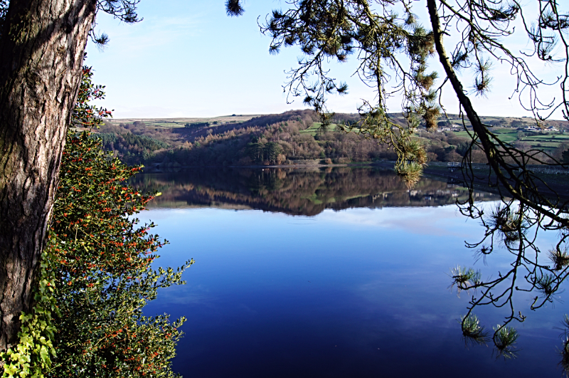 Agden Reservoir
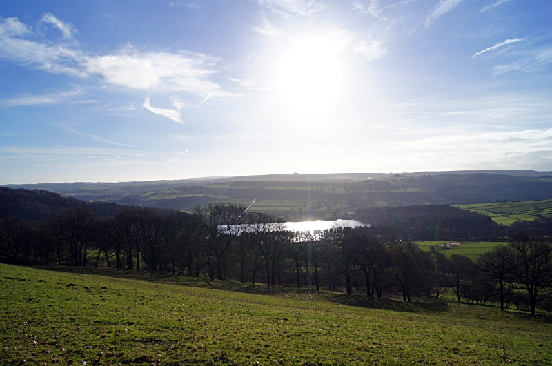 The view from Onesmoor to Agden Reservoir
The grey stone church of St Nicholas serves both High and Low Bradfield and much of it dates from the 14th century. To the right of the churchyard entrance is the Watch House. Built in 1745, this housed guards whose function it was to protect the dead from body-snatchers who sold the corpses to doctors.
There are spectacular views from the churchyard and from this point the Loxley valley and outskirts of Sheffield can be seen. This area was once full of mills, grinding sheds and cottages for workers in the steel industry.
Opposite the Old Horns Inn are the village stocks. These were used to punish minor offenders, but it was far from a minor punishment - just a few hours clamped in the stocks left the culprit stiff, numb and unable to walk easily.
These high Pennine villages, surrounded in natural beauty, were the scene of a disaster that took place in the 19th century.
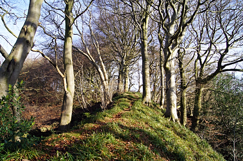 Bailey Hill, High Bradfield
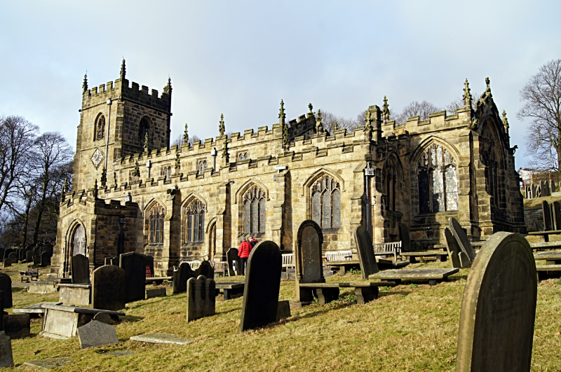 High Bradfield Church
Torrents of water swept through the Bradfield valley when Dale Dyke Dam burst in 1864. The then newly-built dam, nestling in the valley below the moors was full for the first time. This massive feat of engineering was quite a crowd puller until, one day, cracks were discovered in the dam wall. It was nearly midnight when the dam burst and ninety percent of the 712 million gallons (3,500 million litres) of water escaped. There were heavy casualties; the route the water took down to Low Bradfield and Sheffield can still be traced in the landscape.
Some three minutes after the dam burst a 50 feet (15 metres) high wall of water hit Low Bradfield. The newly-built Wesleyan school, corn mill, smithy and a number of cottages simply disappeared under the force of the water.
Today Dale Dyke Reservoir can be seen from the walk, best when stood by the trig pillar on Onesmoor; height 1,306 feet (398 metres). Agden Reservoir is also in view, in the foreground of Dale Dyke Reservoir and also Strines Reservoir at the head of the valley.
Acknowledgments: Text derived from the Out and Out Series; Discovering the Countryside on Foot. Pictures courtesy of Wikipedia.


