Chipping and the Fells of Bowland
Walking along picturesque quiet country lanes in the heart of Lancashire
Google Maps Open Source Maps| Statistics and Files | ||
|---|---|---|
| Start: Chipping | Distance: 3.1 miles (5.0 km) | Climbing: 122 metres |
| Grid Ref: SD 62204 43292 | Time: 2 hours | Rating: Easy |
| GPX Route File | Google Earth File | About Chipping |
| Statistics | |
|---|---|
| Start: Chipping | Distance: 3.1 miles (5.0 km) |
| Climbing: 122 metres | Grid Ref: SD 62204 43292 |
| Time: 2 hours | Rating: Easy |
| GPX Route File | Google Earth File |
Ordnance Survey Explorer Map (1:25,000)
The Walk: Once a vast woodland area, the Forest of Bowland today is a forest in name only. The name Bowland comes from the Celtic 'buland', meaning cattle pasture. Cattle still graze across this former hunting ground of Norman kings, which is now steep, bare hills and grassy valleys. Curlews and plovers can be seen flying overhead, and villages nestle around the moorlands, connected by country lanes. The moors and fells of Bowland are popular for walking and bird watching.
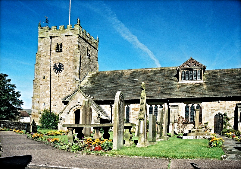 St Bartholomew's Church, Chipping
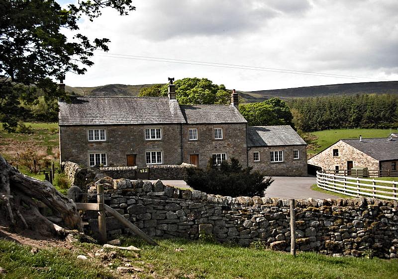 Woolfen Hall
The village of Chipping, where the walk begins, is on the edge of the Forest of Bowland. Its name has had many changes of spelling, and was originally ' Chepyn' from the old English word meaning market place. It became a market for the surrounding area as far back as Roman times. During the 17th century, Chipping was a prosperous centre for the wool trade. The sheep were reared on the fells and their wool was used for cloth which was sent to nearby towns, such as Clitheroe and Preston. Present day visitors are attracted by the cobbled pavements and courtyards, the pretty cottages and almshouses. Most of the village is still laid out on its original 17th century plan, and the main street, Windy Street, is known for its original and beautiful buildings. The corn mill is also standing and is now the Waterwheel commercial premises.
Local industry still thrives at Berry and Sons, the Chipping chairmaking firm, which has been in business for over 150 years. The walk passes through the chair factory grounds, and past Kirk Mill Dam. This head of water provided the power for the works until 1941. The village church, St Bartholomew's has 'Berry' chairs in the sanctuary, and a stained glass window which commemorates the life and works of John Berry, who died in 1966.
Once beyond the village there are magnificent views. The atmosphere and spirit of the uncluttered landscape can be appreciated in full. The fells, Longridge, Parlick, Wolf and Saddle stretch into the distance, and the skyline of Chipping can be seen in the valley. Another striking landmark, Pendle Hill, is also known as 'Witches Hill' after the witches of Pendle who were tried for sorcery in 1612.
Acknowledgments: Text derived from the Out and Out Series; Discovering the Countryside on Foot. Pictures courtesy of Wikipedia.


