Scalby, Yorkshire Coast Path and Cloughton
Explore a spectacular coast and the remains of a famous railway
Google Maps Open Source Maps| Statistics and Files | ||
|---|---|---|
| Start: Scalby | Distance: 8.9 miles (14.3 km) | Climbing: 163 metres |
| Grid Ref: TA 01055 90499 | Time: 4 hours | Rating: Moderate |
| GPX Route File | Google Earth File | About Scalby |
| Statistics | |
|---|---|
| Start: Scalby | Distance: 8.9 miles (14.3 km) |
| Climbing: 163 metres | Grid Ref: TA 01055 90499 |
| Time: 4 hours | Rating: Moderate |
| GPX Route File | Google Earth File |
Ordnance Survey Explorer Map (1:25,000)
The Walk: Scalby is an ancient manor on the outskirts of Scarborough. In the 12th and 13th centuries, it was part of a royal forest, and it still belongs to the Duchy of Lancaster. An avenue of limes, known locally as 'the Apostles' leads from its high street to the 12th century Church of St Lawrence. In early summer, pink coral-root bittercress carpets the churchyard. This rare flower is otherwise known only in three or four sites in southern England and one in Staffordshire. So its appearance here is something of a mystery.
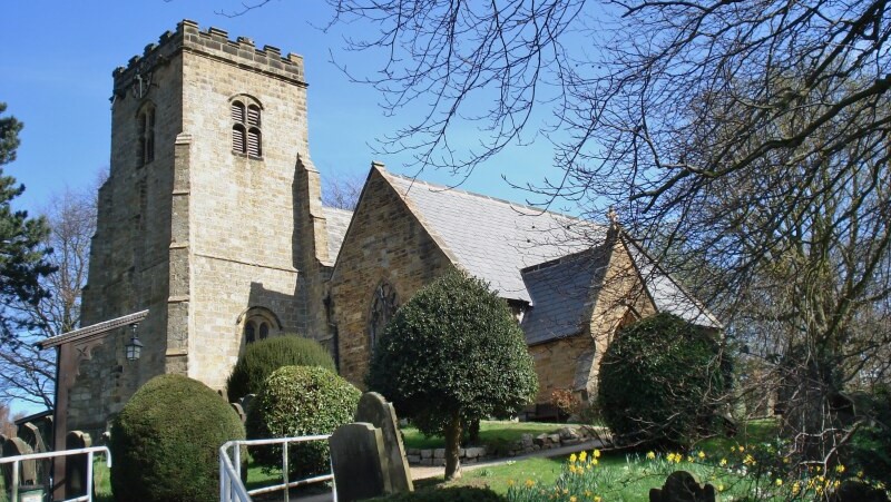 Scalby Church
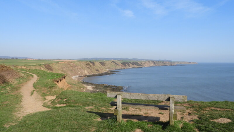 Coast path near Scalby
The route passes through lanes and fields to the coast, where there is a magnificent view south towards Scarborough's North Bay. The castle on its headland stands nearly 300 feet above the waves, and the massive Norman keep forms an impressive silhouette.
The route continues north along the Cleveland Way, a long distance path that runs beside the coast and around the North York Moors National Park. To walk along the cliffs is exhilarating, and there is much to see. Boats from Scarborough's fishing fleet inspect their nets and many pleasure and working boats ply the coast.
The rocky cliffs and beaches are home to many species of gull. Kittywakes, fulmars, common terns, cormorants, redshanks and oystercatchers can also be spotted, and in winter ringed plovers, turnstones and curlews. Red-throated divers are occasional visitors.
At low tide, there is access down the cliffs to the rocky shore of Crook Ness. Seaweeds and shellfish abound here and crabs and starfish lurk in the rock pools where the eel like butterfish and the common blenny swim around the fronds of green sea lettuce. Further along is Cloughton Wyke, favoured by geologists as the rock strata is clearly visible.
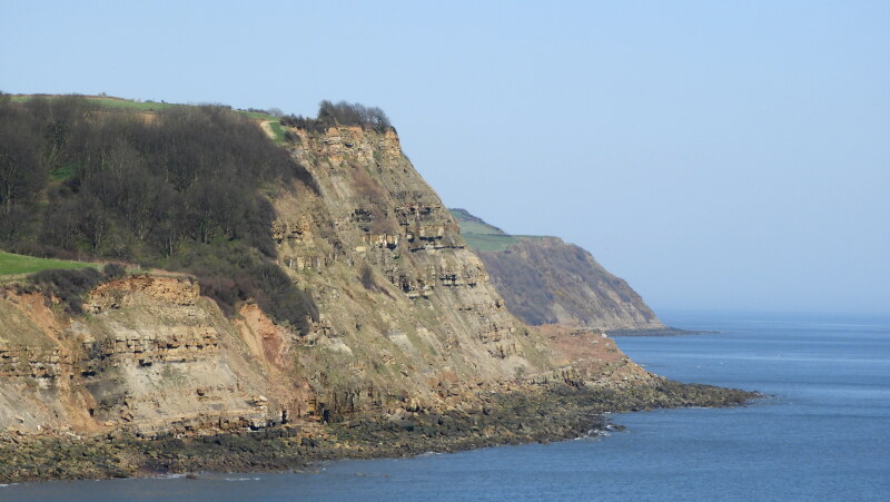 Hundale Scar
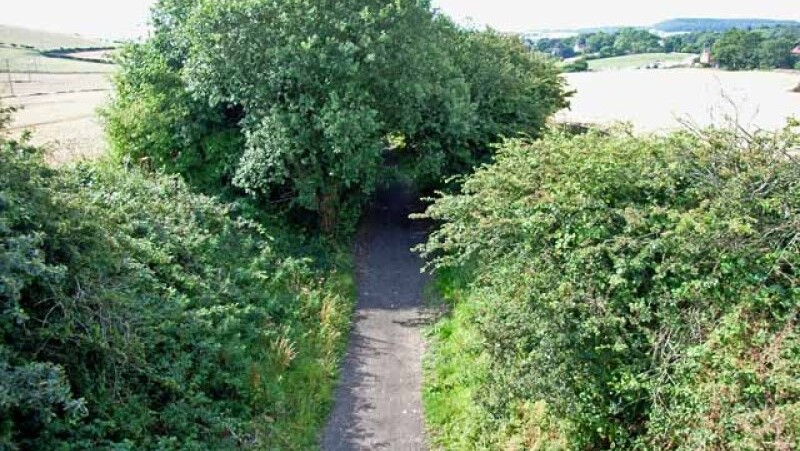 The Scarborough and Whitby Railway line
After the walk along the Yorkshire Coast, you head inland to the village of Cloughton and join the trackbed of the Scarborough and Whitby Railway. This twenty one mile single track line opened in 1885 to cater for tourists. Nicknamed the Golden Line, it was one of the most scenic routes in Britain, running over 60 bridges, two viaducts and many cuttings and embankments, as well as through two tunnels. Though popular with summer holidaymakers, lack of winter traffic forced it to close in 1965.
Clifton station building is now a private house and you can still see the goods yard, with its cattle dock, and the goods shed today. The track bed is a bridle path, a haven for the wild life and flowers that line the return walk to Scalby.
Acknowledgments: Text derived from the Out and Out Series; Discovering the Countryside on Foot. Pictures courtesy of Wikipedia.


