Glen Nevis and Steall Falls
A spectacular gorge and waterfall in the Central Highlands
Google Maps Open Source Maps| Statistics and Files | ||
|---|---|---|
| Start: Road end parking area | Distance: 2.7 miles (4.4 km) | Climbing: 292 metres |
| Grid Ref: NN167691 | Time: 1-2 hours | Rating: Easy |
| GPX Route File | Google Earth File | About Glen Nevis |
| Statistics | |
|---|---|
| Start: Road end parking area | Distance: 2.7 miles (4.4 km) |
| Grid Ref: NN167691 | Time: 1-2 hours |
| Climbing: 292 metres | Rating: Easy |
| GPX Route File | Google Earth File |
Ordnance Survey Explorer Map (1:25,000)
The Walk:
The best time to visit the gorge and its waterfall is in the spring when the rivers are in spate, swollen with melting snow, or after heavy rain, but preferably once the paths have dried out (see the note of caution below). An autumn visit is also rewarding, when the leaves of the birches and rowans that line the gorge change their hue to provide a wonderfully colourful display.
(Note of caution: I have done this walk and while I class this walk with the rating of easy I am obliged to point out that care will be required at all times when travelling through the gorge and particularly when it is damp. The rocks on the gorge path are slippery. Also heed the warning sign seen at the start of the walk about the serious risks of falling from the path. In places it is a long way down)
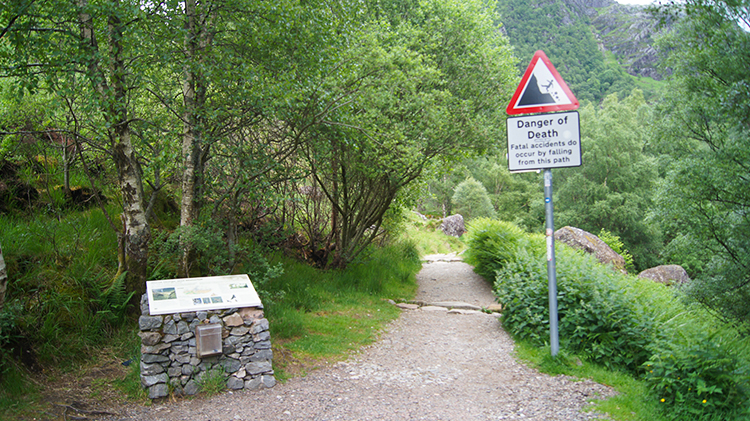 Setting off while heeding the warning sign
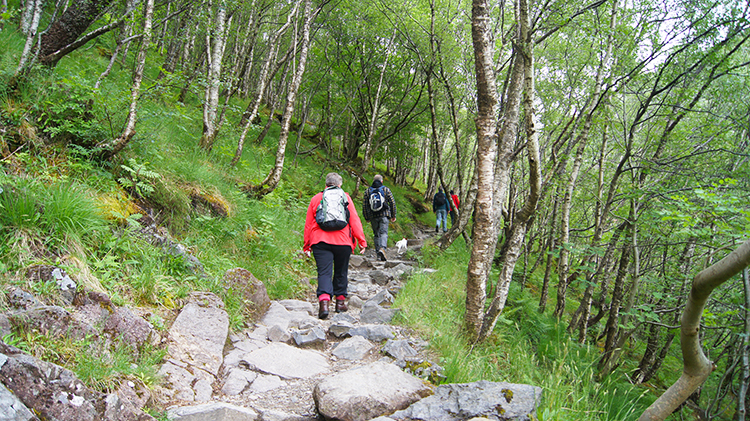 Climbing through the Glen Nevis gorge
The road to the start of the walk follows Glen Nevis, a beautifully wooded valley that is a classic example of glaciated scenery. The surrounding mountain scenery is impressive, with the convex slopes of Ben Nevis to the left and the pointed summits of the Mamores Range to the right. At the car park a great waterslide tumbles down the mountain for more than 1,000 feet (350 metres). There is a good view point from the path that leads from the road. One of the best viewpoints of the glen itself is a short distance away.
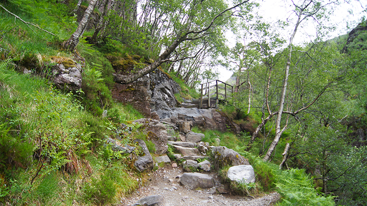 Ground falls steeply to the right on the ascent
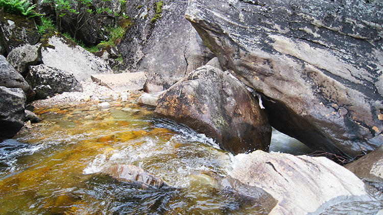 Water of Nevis thunders down into the gorge
The Water of Nevis runs through a barrier of hills to form the Nevis Gorge. The narrowness and depth of the gorge, the huge boulders in its bottom and the force of the water that crashes against them give the place a Himalayan character unique in Scotland. The path through the gorge climbs through a variety of trees - Scots pine, birch, rowan, oak - high above the river, which forms a foaming torrent called Eas an Tuill (pronounced Aiss an Too-il, meaning Waterfall of the Hole).
 Water of Nevis
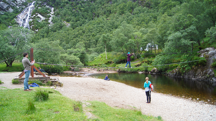 Mastering the Rope Bridge
Beyond the Nevis Gorge lies a plain, a mountain sanctuary encircled by high peaks. At the far end of this lost valley Steall Waterfall plummets 350 feet (100 metres) from the cliffs above. It is the third highest waterfall in Britain and is an awesome sight because it plunges down the mountainside in one great sweep.
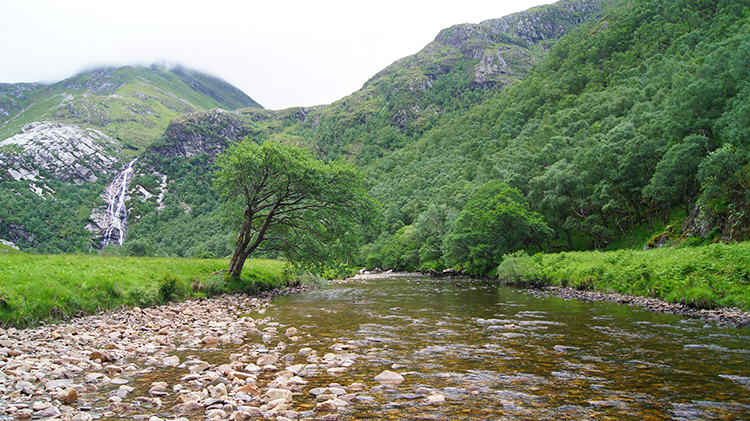
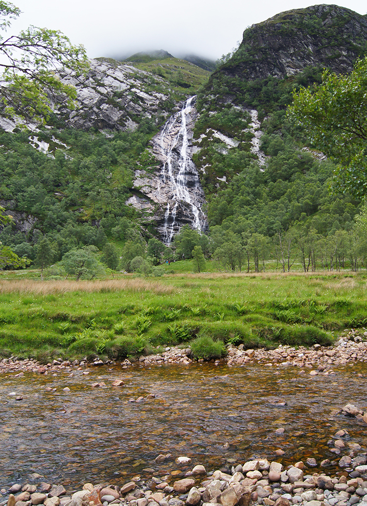 View across Water of Nevis to Steall Falls
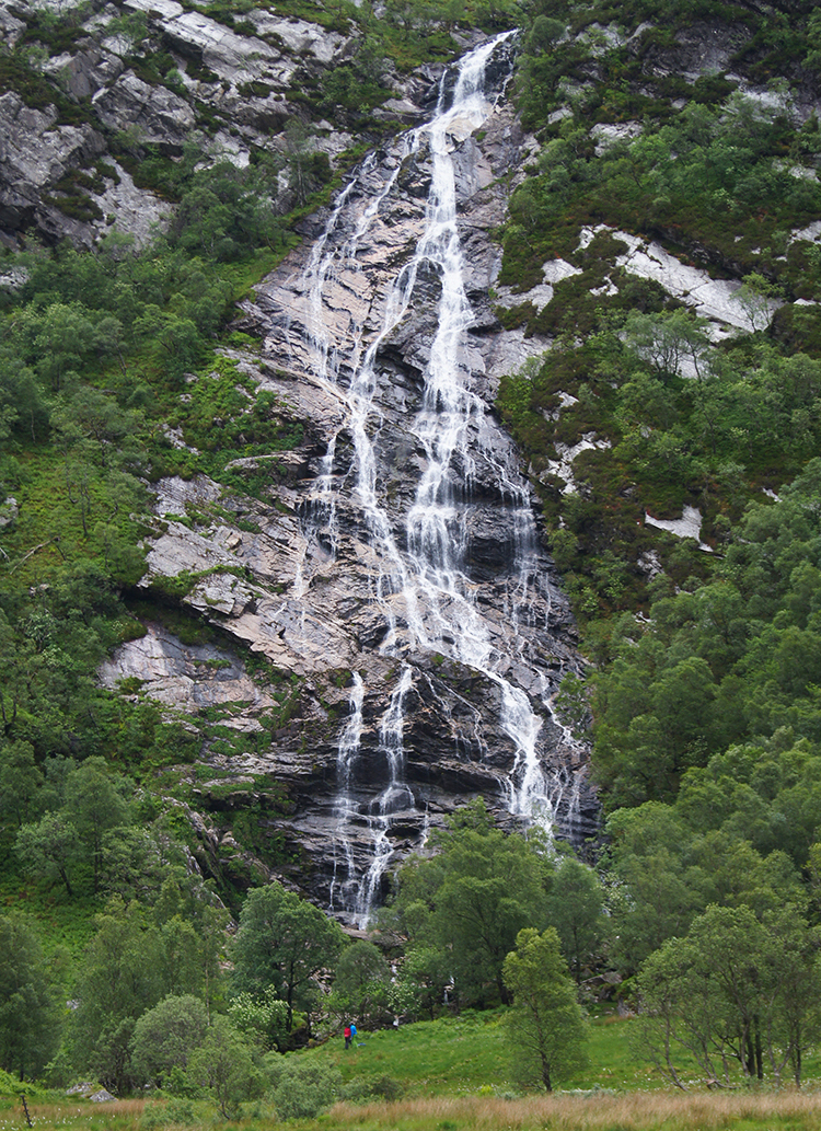 Steall Falls
The foot of the waterfall can be reached only by crossing a wire bridge which spans the river. The bridge has only three cables, one for the feet and one on each side for the hands. Hillwalkers cross it regularly, but others must be content just to admire the view and wonder.
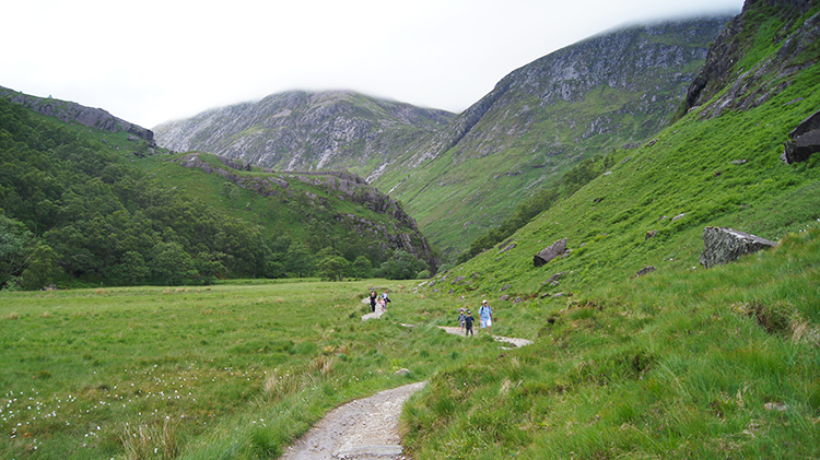 The upland meadow near Steall Falls
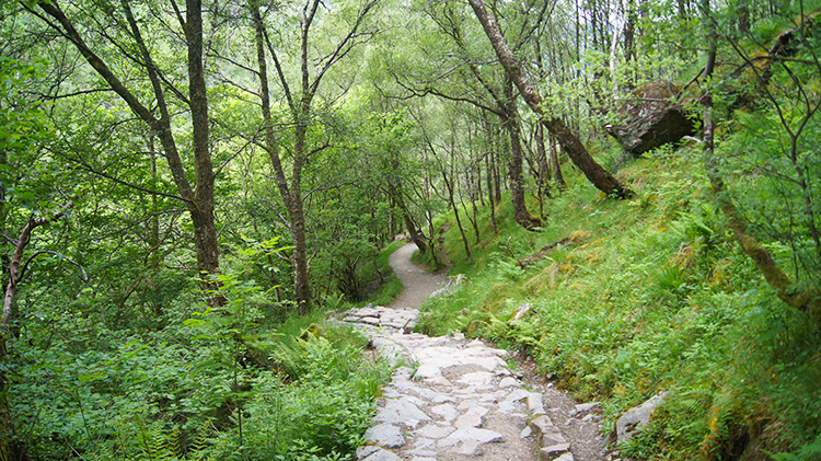 Heading back down the gorge
From the upland plain the walk returns to the start by following the way in which it came. Through Glen Nevis. It is either that or climbing over Ben Nevis which is a much different story altogether!


