Ashurst and Churchplace Inclosure
A stroll through William the Conqueror's hunting grounds in the New Forest
Google Maps Open Source Maps| Statistics and Files | ||
|---|---|---|
| Start: Ashurst | Distance: 2.6 miles (4.2 km) | Climbing: 25 metres |
| Grid Ref: SU 33570 10362 | Time: 2 hours | Rating: Easy |
| GPX Route File | Google Earth File | About Ashurst |
| Statistics | |
|---|---|
| Start: Ashurst | Distance: 2.6 miles (4.2 km) |
| Climbing: 25 metres | Grid Ref: SU 33570 10362 |
| Time: 2 hours | Rating: Easy |
| GPX Route File | Google Earth File |
Ordnance Survey Explorer Map (1:25,000)
The Walk: This walk reveals the peaceful beauty of the New Forest at its most charming. It follows tracks in mixed oak and beech woodland for which the forest is famous. These woods are the home of many wild creatures, including badgers and fallow deer. Less shy are the ponies with their leggy foals and the squirrels leaping from branch to branch overhead. Dead trees and ant hills are the favourite haunts of woodpeckers - all three of our native species are here. Many rare species of plants flourish in the oak woods, including orchids and the wild gladiolus.
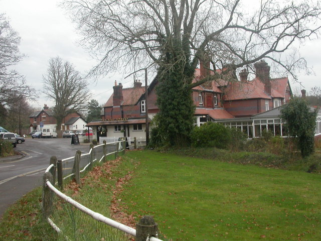 The village of Ashurst
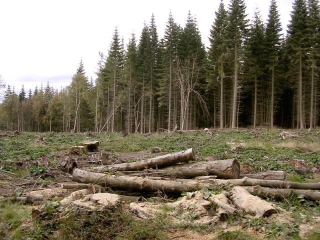 Forest management in Churchplace Inclosure
Churchplace Cottage is one of the original New Forest Keeper's cottages. A charming brick cottage, it was built in 1810 when the forest was divided into 'walks' and a Keeper appointed for each walk. All the cottages had an orchard and a paddock. Nowadays, a Keeper's duties are more varied. In 1079 William the Conqueror declared west of Southampton Water to the Avon Valley and north of the Solent to the Wiltshire Downs his personal hunting forest. The Saxon chroniclers, who hated the Norman king, wrote in that doing so, he destroyed many Saxon villages. They claimed he also destroyed their churches, a much worse crime since this was sacrilege.
Church Place is the name of a knoll which has survived the centuries and occurs on old maps. This suggests that it could have been the site of a destroyed church and perhaps a village too. Follow the track on to the knoll and you will discover some intriguing embankments and ditches. The remains of the hunting lodge later built here could well have been built on top of the old foundations. The green path which leads around the knoll has turf like a smooth lawn, cropped short by the New Forest ponies. The ponies action preserves the green lawns and rides of the beautiful New Forest. They could be called the first conservationists!
There is a strange, low-lying area to the right of the path containing deep pits. This could have been caused by the practice of digging for marl. Marling - digging for material in the forest which could be spread to improve the quality of the soil - is still one of the New Forest Commoners ancient rights. Others include gathering fuel and pasturing animals These were the Saxon forest dwellers rights which survived the Norman conquest and are sill jealously guarded by the Commoners of the New Forest today, hundreds of years later.
Acknowledgment: Text derived from the Out and Out Series; Discovering the Countryside on Foot. Pictures courtesy of Wikipedia.


