Teston Bridge Country Park, Bow Bridge and West Farleigh
Through water meadows in the peaceful Medway valley and along country lanes
Google Maps Open Source Maps| Statistics and Files | ||
|---|---|---|
| Start: Teston Bridge | Distance: 4.8 miles (7.8 km) | Climbing: 114 metres |
| Grid Ref: TQ 70778 53326 | Time: 2-3 hours | Rating: Easy |
| GPX Route File | Google Earth File | About Teston |
| Statistics | |
|---|---|
| Start: Teston Bridge | Distance: 4.8 miles (7.8 km) |
| Climbing: 114 metres | Grid Ref: TQ 70778 53326 |
| Time: 2-3 hours | Rating: Easy |
| GPX Route File | Google Earth File |
Ordnance Survey Explorer Map (1:25,000)
The Walk: The walk begins in the Teston Bridge Country Park, beside the River Medway, where it is crossed by a ragstone medieval bridge of five arches. Anglers fish here for roach, perch and pike, and flowers bedeck the banks in spring and summer. Dragonflies hover over tansy and water figwort, and you may see the blue flash of a kingfisher. Upstream is the weir and lock, part of the Medway Navigation scheme of 1741, built to ease navigation and to control flooding.
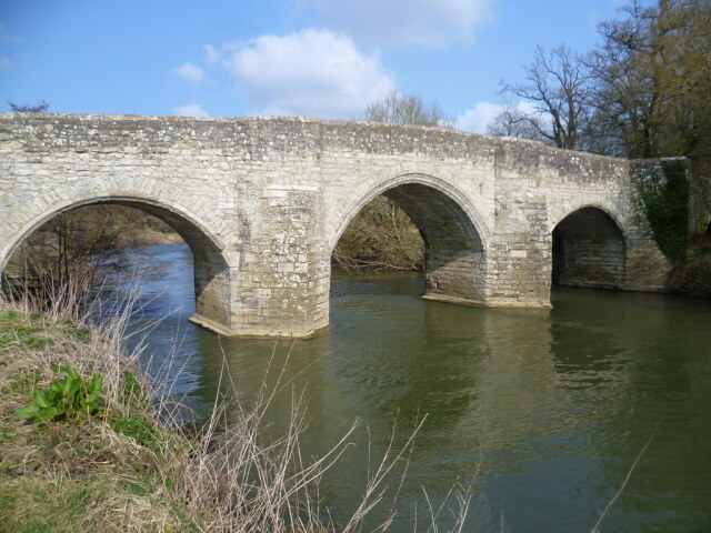 River Medway flowing under Teston Bridge
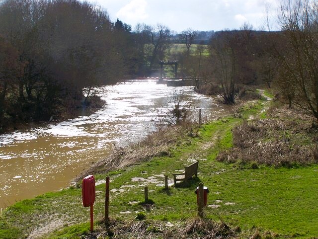 River Medway at Teston Bridge Country Park
The big cream and white Georgian house on the hill, beyond the railway line, is Barham Court. Legend has it that one of the four knights who murdered Archbishop Thomas Beckett in 1170 lived in an earlier Barham Court. It was here in 1641 that the first blood was spilled in Kent at the start of the English Civil War.
From the bridge, the route winds through a country lane lined with oaks and ashes, reaching sheep pasture beyond the site of an old mill. There is another reminder of war here, in the form of a 1940 concrete pill box by the path.
The North Downs close off the view to the north-west. Across the river lies Teston Church, built in 1736, which is crowned by its golden weathercock. In the 1780's, the anti slavery movement began in this village.
The walk following the line of the River Medway westwards ends at Bow Bridge near the village of Wateringbury, which may seem appropriately named these days as flooding of the river has occured at more regular intervals here than in the past with a couple of occasions in the 1970's and four times up to 2024 this century - including Christmas 2013 at Teston and 2022 at Bow Bridge.
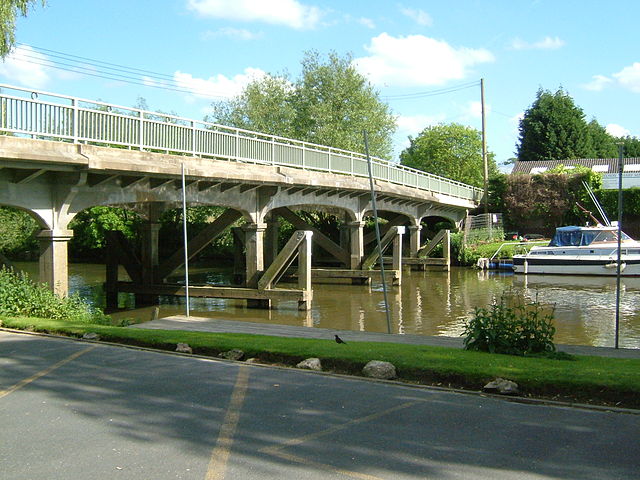 Bow Bridge, Wateringbury
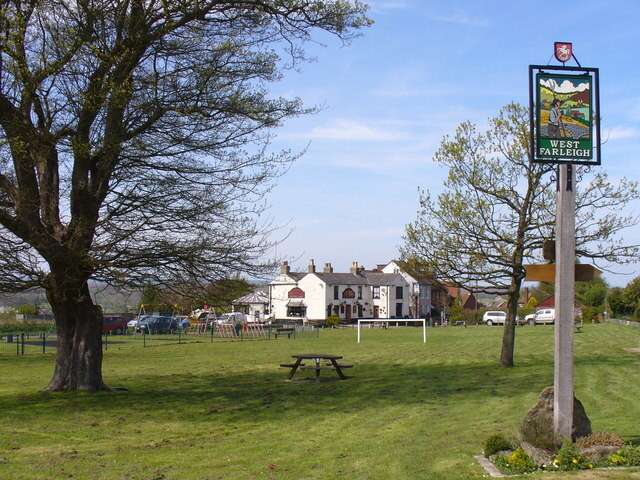 West Farleigh
At Tutsham Hall, an elegant Regency house, the path passes a simple 18th-century ragstone barn. Between the stones are stone chips set in the mortar. This technique, called galleting, protects wide joints of soft mortar from rain - compare it with the modern style of 'snail trail' on a garden wall at Marshalls Cottages further on.
In every direction there are beautiful views over the Medway valley. As the path winds downhill to the pretty village of West Farleigh, the cupola over the stable block of West Farleigh Hall comes into view. The early Georgian Hall has superb brickwork.
West Farleigh church is a complete Norman church dating from about 1100. In the turmoil of Henry VIII's dissolution of the monasteries in 1534, someone buried a bronze cross in the churchyard in order to save it. Discovered in 1832, it is now on display in the British Museum.
West Farleigh is a popular village, particularly at weekends when the people of Maidstone seek out a countryside diversion from the grind of the working week. The village has two popular pubs; The Tickled Trout and The Good Intent - either of them being the perfect spot for refreshments after this walk. It is just a short stroll from West Farleigh, via Teston Lock, back to the start of the walk.
Acknowledgment: Text derived from the Out and Out Series; Discovering the Countryside on Foot. Pictures courtesy of Wikipedia.


