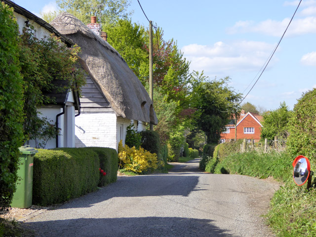
Upper Wield, Lower Wield and the Oxdrove Way
A walk from a thatched village along an old drove road in the Hampshire Downs
Google Maps Open Source Maps| Statistics and Files | ||
|---|---|---|
| Start: Upper Wield | Distance: 5.6 miles (9.1 km) | Climbing: 122 metres |
| Grid Ref: SU 62936 38761 | Time: 3 hours | Rating: Easy |
| GPX Route File | Google Earth File | About Upper Wield |
| Statistics | |
|---|---|
| Start: Upper Wield | Distance: 5.6 miles (9.1 km) |
| Climbing: 122 metres | Grid Ref: SU 62936 38761 |
| Time: 3 hours | Rating: Easy |
| GPX Route File | Google Earth File |
Ordnance Survey Explorer Map (1:25,000)
The Walk: Set in the undulating landscape of the North Downs is the timeless village of Upper Wield, where thatched cottages cluster round a green and a pond. Hidden down a side lane of the village is a delightful, though heavily restored example of a small Norman church. It is dedicated to St James the Great.
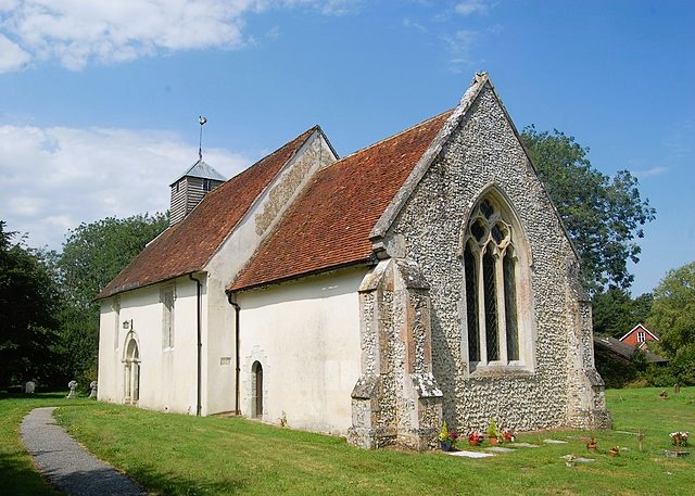 Upper Wield Church
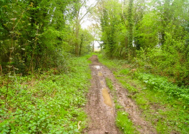 Following the Oxdrove Way
The church was built by William the Conqueror's grandson, Henry de Bois, who was Bishop of Winchester. Scratched into the stonework beside the main door is a mass dial, a primitive sundial used before clocks were invented. Inside are 13th-century wall paintings depicting scenes from Christ's life, and a gallery that housed the band before the days of the organ.
The fine tomb by the altar commemorates William and Marjory Waloppe, who, in 1591, entertained Elizabeth I at Wield House. The house survives, much changed, and still retains its Tudor porch.
Not far from the village across expansive fields runs the Ox Drove, now titled the Oxdrove Way long distance footpath. This ancient road, between Winchester and Odiham, was used for driving cattle and sheep to market. It may have been in use as early as the Roman occupation, and was part of King John's regular route between his castles at Winchester and Windsor. He built Odiham Castle at the exact halfway point of the 60-mile route, two days riding at that time. He is known to have passed along this way in 1215, the year he agreed to sign the Magna Carta.
 Lower Wield
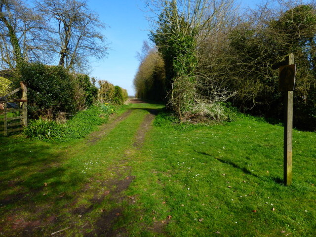 The path from Lower Wield to Upper Wield
As the drove approaches a disused chalk pit, there is a view to the left across the fields to the early 17th-century Preston House. It is one of three mansions built to house the major landowners of the neighbouring parish of Preston Candover, after the enclosures there.
Lower Wield is not a great deal lower than Upper Wield. The name they share is a variation of 'weald' meaning 'open or wooded country', and they are in fact part of the same parish. Upper Wield has the church, and Lower Wield the pubs. The former pub on Windmill Lane has become a private residence but the Yew Tree Inn, sited by an old chalk pit, remains in place.
The path back into Upper Wield passes the back of the old village school, built to accommodate 50 children. Their longest holiday always coincided with the harvest. The school is now closed, but the building remains an important part of community life as the village hall.
Acknowledgment: Text derived from the Out and Out Series; Discovering the Countryside on Foot. Pictures courtesy of Wikipedia.


