Land's End and Nanjizal Bay
A coastal walk on the most westerly tip of Britain
Google Maps Open Source Maps| Statistics and Files | ||
|---|---|---|
| Start: Land's End | Distance: 3.7 miles (5.9 km) | Climbing: 258 metres |
| Grid Ref: SW 34252 25301 | Time: 2 hours | Rating: Moderate |
| GPX Route File | Google Earth File | About Land's End |
| Statistics | |
|---|---|
| Start: Land's End | Distance: 3.7 miles (5.9 km) |
| Climbing: 258 metres | Grid Ref: SW 34252 25301 |
| Time: 2 hours | Rating: Moderate |
| GPX Route File | Google Earth File |
Ordnance Survey Explorer Map (1:25,000)
The Walk: Land's End is a focal point of attraction, but this walk enables you to maximise the value of the parking fee and get away from the crowds to see one of the best hidden sandy bays, with swimming, paddling, and rock pool interest, in Cornwall. There is breathtaking coastal cliff scenery with rocky islands and headlands and magnificent views to the great Atlantic Ocean beyond. There are ancient field systems, old mines, wreckers coves and smugglers caves, and finally the unspoilt sandy bay of Nanjizal - a perfect place to swim or relax and have a picnic.
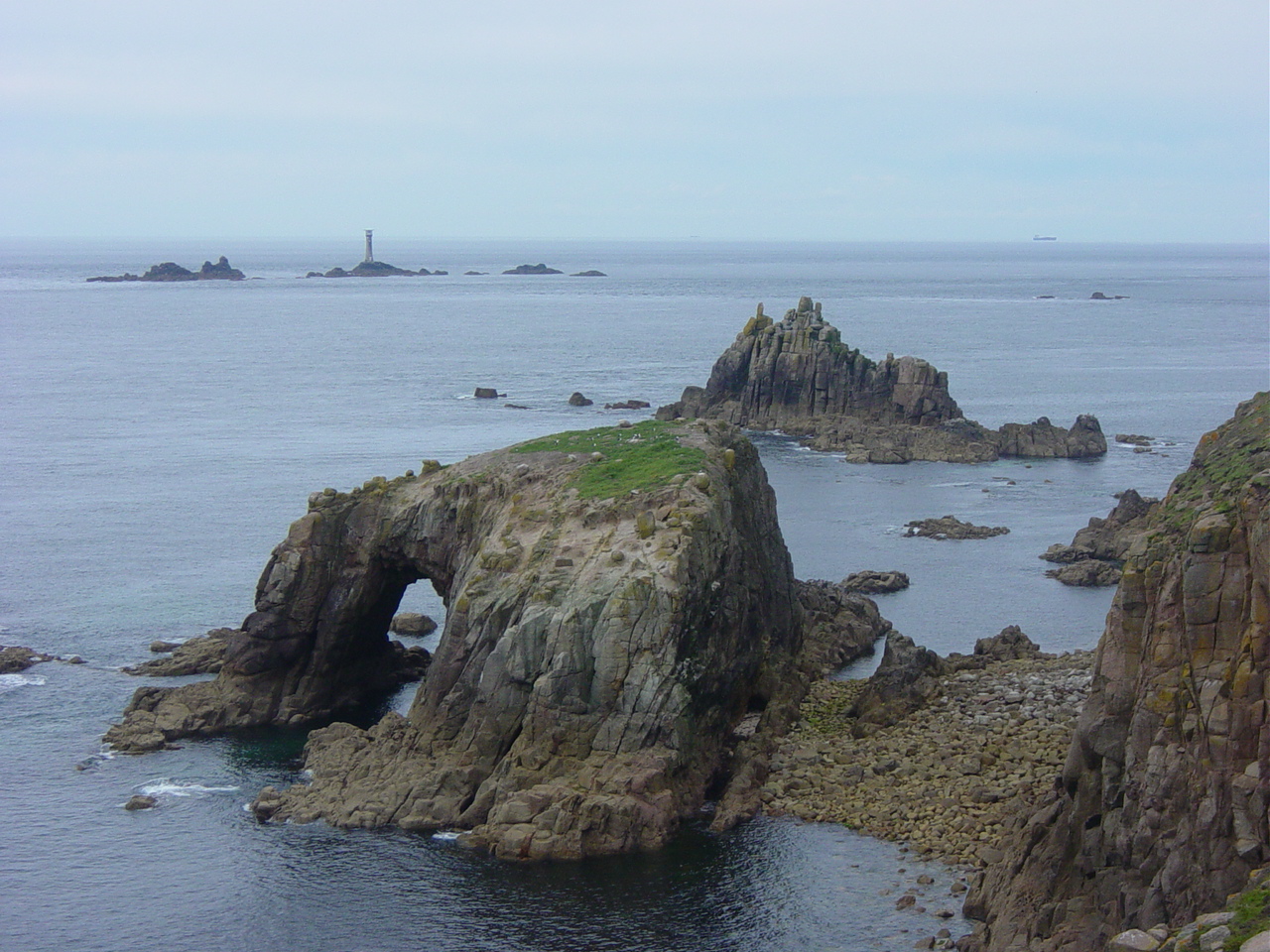 Enys Dodnan Arch, Lands End
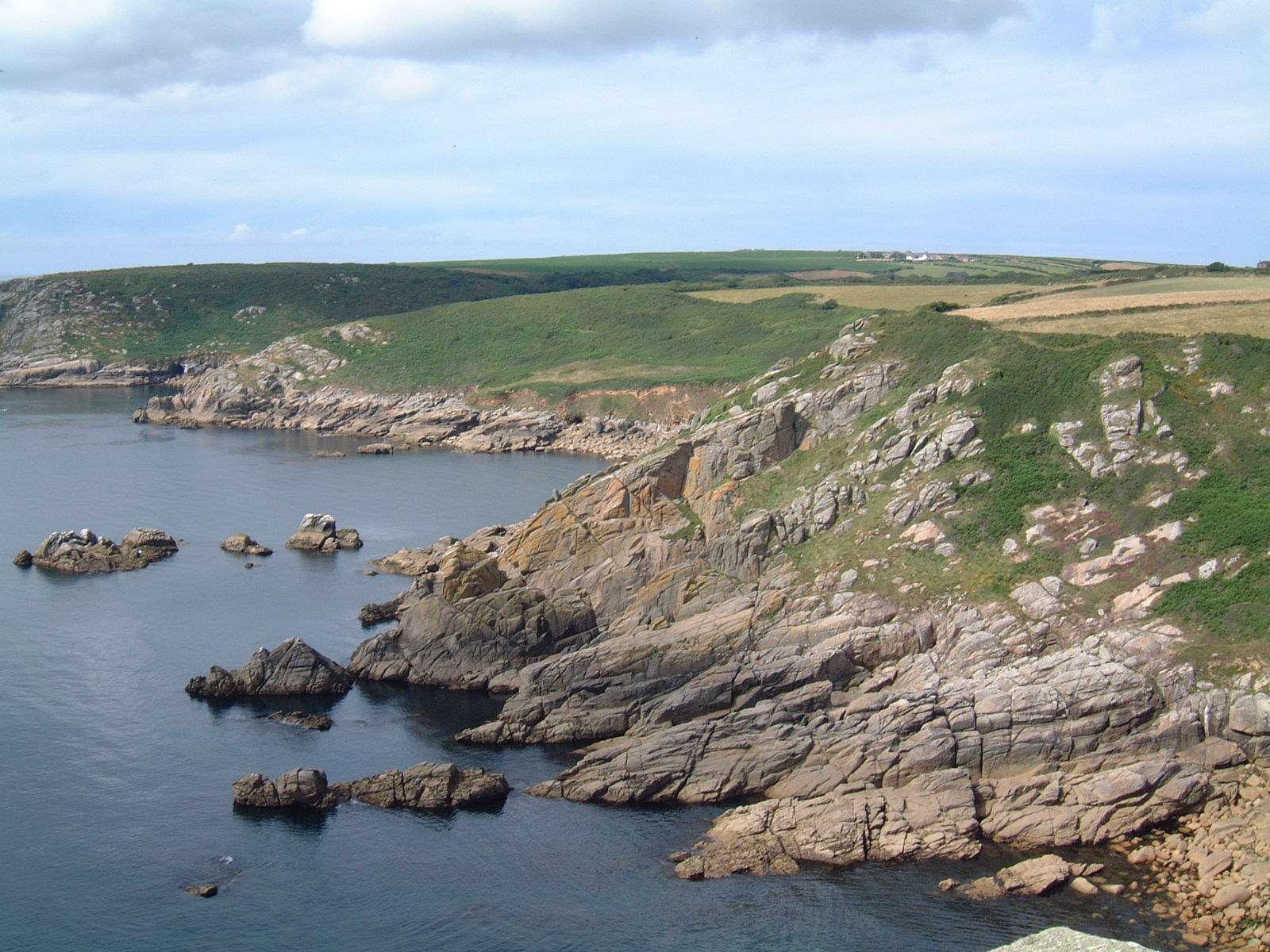 Coastal view at Nanjizal Bay
Out to sea, looking beyond the granite cliffs that mark the beginning and end of our island stands man's last lonely bastion, the famous Longships Lighthouse.
This particular section of Land's End is known as Dr Johnson's Head and on the steep granite cliffs immediately below there is a classic rock climb known as the 'Land's End Long Climb'. For experts only, it was pioneer pioneered by the Royal Marines who still use it for training.
Although it is virtually submerged when heavy seas are running, at low tide, the distinctive rocky island of the 'Armed Knight' provides a home for gulls and food for hungry oystercatchers. The spectacular sea arch that tunnels through 'Enys Dodnan' is a fine example of the immense power of the sea. Sometime in the future, the roof of the arch will collapse and leave a solitary standing finger of rock remote from the main island, forming a sea stack.
Arguably Pordenack Point provides the most advantageous view of Land's End, of the rugged coastal cliffs and of Longships Lighthouse. The artist Turner painted from this headland. The next rocky point along the coast is the dual headland of Carn Sperm and Carn Boel.
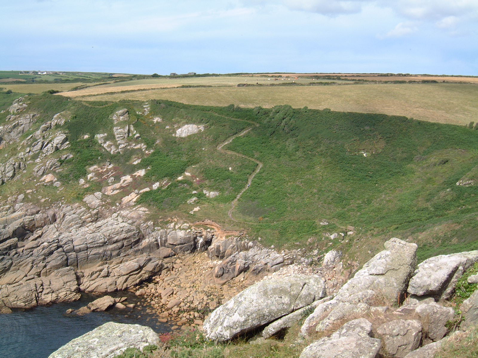 Climbing the steep path
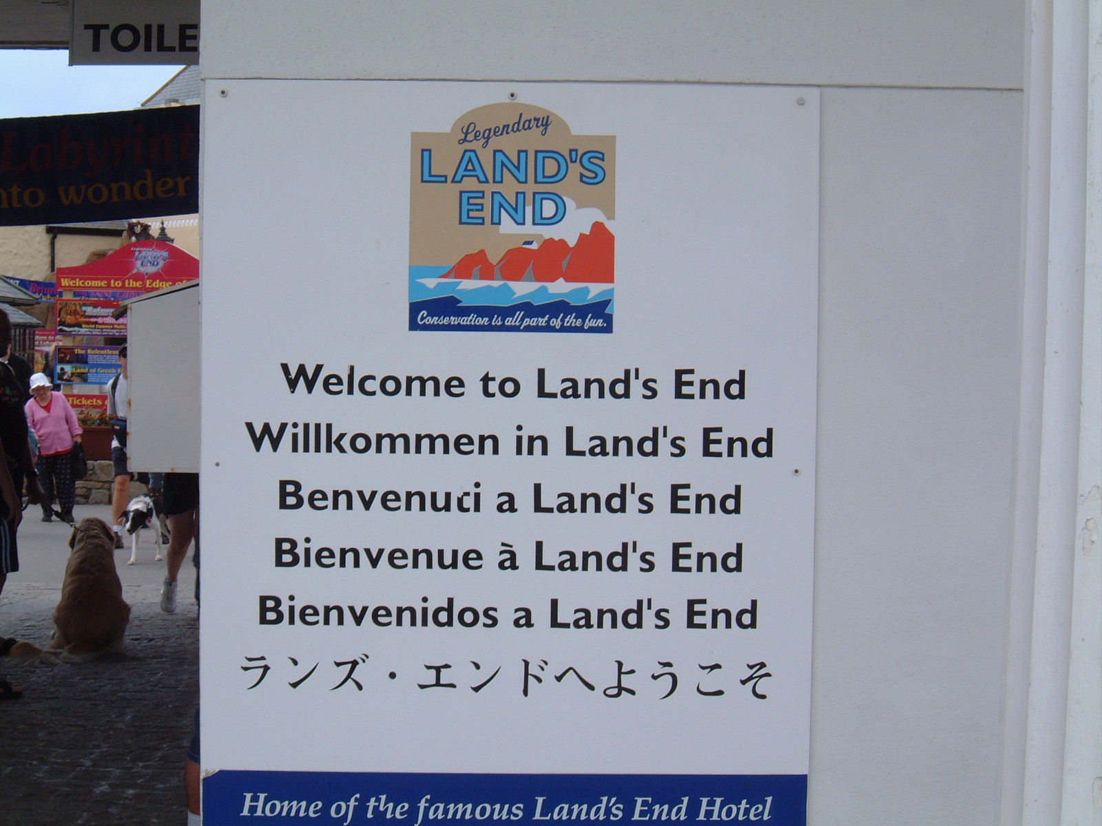 Welcome to Land's End
Moving on, with the headland providing protection and shelter to the west, there is an ancient field system with stone walls constructed from large granite blocks. Curiously arranged at intervals along the tops of the terraced walls are standing stones placed upright. Their origin is unknown. After passing these you arrive at the spot overlooking Zawn Reeth.
This is the deep curve that forms the northern end of Nanjizal Bay. Immediately below, the cliffs are crumbling from the onslaught of the waves, and when the tide is out a boulder beach leads to the sea. Forming the back of the 'zawn' are large cliffs honeycombed with sea tunnels and at their base lies a sandy beach. Years ago these must have been smuggler's caves.
Finally comes the head of the bay, the only place where walkers should go down to the sea. Nanjizal, its Cornish name is preferable to the dull alternative, Mill Bay. Here you can swim or paddle, but only when the sea is calm, the temperature warm and the tide is incoming. Otherwise, an exploration of the rock pools provides a relaxing end to the adventure.
After spending time at Nanjizal Bay all that remains is the walk back to Land's End. It goes back much by the way you came although there are alternatives to climb up to the tops of the cliffs on occasions to walk along the route of the South West Coast Path.
Acknowledgments: Text derived from the Out and Out Series; Discovering the Countryside on Foot. Pictures courtesy of Wikipedia.


