Steeple Langford, Grovely Wood and Hanging Langford
From streamside paths to downland views and dense woodland
Google Maps Open Source Maps| Statistics and Files | ||
|---|---|---|
| Start: Steeple Langford | Distance: 5.9 miles (9.5 km) | Climbing: 162 metres |
| Grid Ref: SU 03699 37479 | Time: 3 hours | Rating: Moderate |
| GPX Route File | Google Earth File | Steeple Langford |
| Statistics | |
|---|---|
| Start: Steeple Langford | Distance: 5.9 miles (9.5 km) |
| Climbing: 162 metres | Grid Ref: SU 03699 37479 |
| Time: 3 hours | Rating: Moderate |
| GPX Route File | Google Earth File |
Ordnance Survey Explorer Map (1:25,000)
The Walk: This walk starts close to Steeple Langford, a lovely village beside the River Wylye, which meanders through the widest of the river valleys west of Salisbury. The attraction of this walk is its variety. From the village, little paths follow the banks of the stream through water meadows. A quite long but steady climb onto the North Wessex Downs is rewarded by magnificent views from the embankments of an Iron Age fort. And the route includes a woodland stroll along the line of a Roman road.
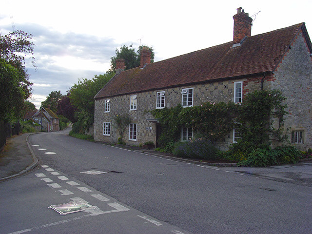 Steeple Langford
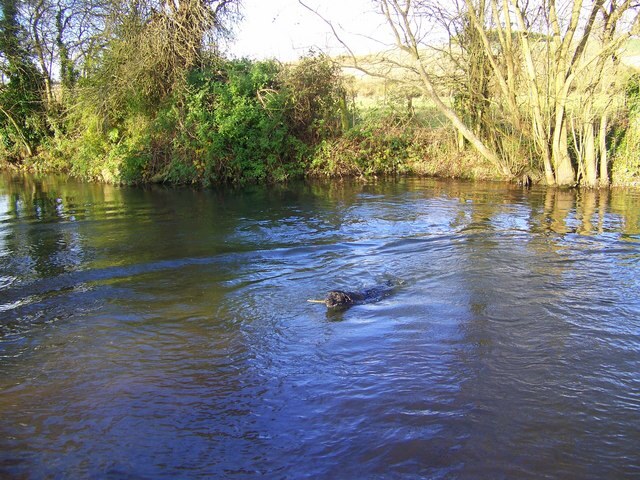 River Wylye
The River Wylye flows through Steeple Langford and several of the houses have lawns sweeping down to the water. Some of the houses in the village are built in the distinctive chequered design found in areas of chalk and flint. The parish Church of All Saints has a rare 12th century Purbeck marble font and the Saxon cross dating to around 850 AD.
Close to the village, the Wylye divides into several small streams overhung with willows and bordered by flowers. Narrow paths follow the streams, crossing over wooden bridges, making delightful walks. Seats beside the streams are ideal places for picnics. The small streams probably gave Steeple Langford its name. 'Steeple' may derive from the staples or posts marking the line for crossing the long ford, which was more than a quarter of a mile across the River Wylye at this point. It is also possible that 'staple' indicated that the area had a market.
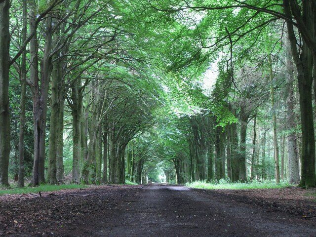 Avenue in Grovely Wood
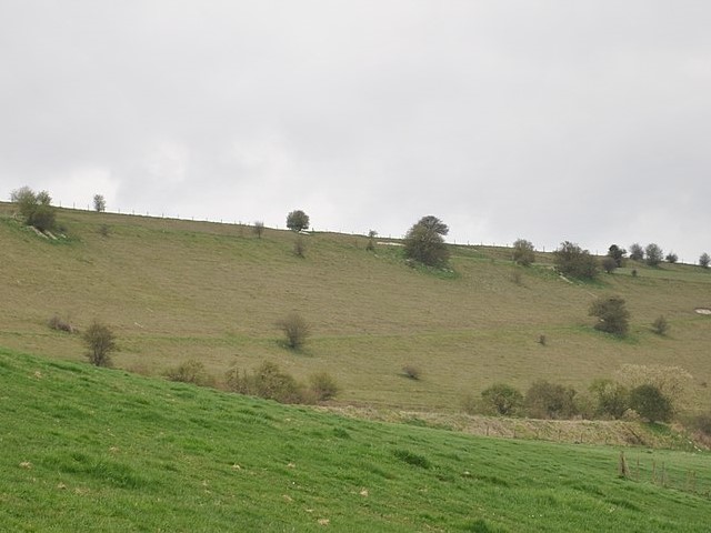 Site of Hanging Langford Camp
At the top of the Downs, overlooking the Wylye valley is Hanging Langford Camp And Church-End Ring. The embankments of this Iron Age fort are well preserved. The area covered is so extensive that the fort could have served to protect a whole village and outlying homesteads.
After the hill fort, the walk enters Grovely Wood, along the Roman road. This has been roughly metalled, but it is possible to see the embankments. The road probably connected Bath and Salisbury.
Grovely Wood is a large area of woodland that now belongs to the Forestry Commission. By ancient right, the villagers of Great Wishford, three miles east of Steeple Langford, can gather wood there. An Oak Apple Day ceremony is held annually on the 29th of May in celebration of this custom. From Grovely Wood, the walk returns by the same path by which you climbed down to Hanging Langford, and then on to the start of the walk at neighbouring Steeple Langford.
Acknowledgments: Text derived from the Out and Out Series; Discovering the Countryside on Foot. Pictures courtesy of Wikipedia.


