Little Dartmouth and Dartmouth Castle
A bracing walk to Dartmouth Castle and along the fortress cliffs of Little Dartmouth
Google Maps Open Source Maps| Statistics and Files | ||
|---|---|---|
| Start: Car Park | Distance: 3.7 miles (6.0 km) | Climbing: 390 metres |
| Grid Ref: SX 87408 49132 | Time: 2 hours | Rating: Moderate |
| GPX Route File | Google Earth File | About Dartmouth Castle |
| Statistics | |
|---|---|
| Start: Car Park | Distance: 3.7 miles (6.0 km) |
| Climbing: 390 metres | Grid Ref: SX 87408 49132 |
| Time: 2 hours | Rating: Moderate |
| GPX Route File | Google Earth File |
Ordnance Survey Explorer Map (1:25,000)
The Walk: This walk presents the opportunity to see glorious sea views from a dramatic clifftop path, to discover hidden coves and secret beaches and to visit the old Dartmouth Castle and battery. The walk begins at the National Trust car park at little Dartmouth and proceeds along a high sided lane that is typical of Devon. There are tantalising glimpses of Start Bay to the right through gaps in the hedges, and then the view of the Kingswear Daymark, a tower high up in the fields on the opposite headland, built to assist seafarers find their entrance to Dartmouth.
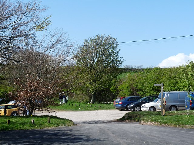 Little Dartmouth car park
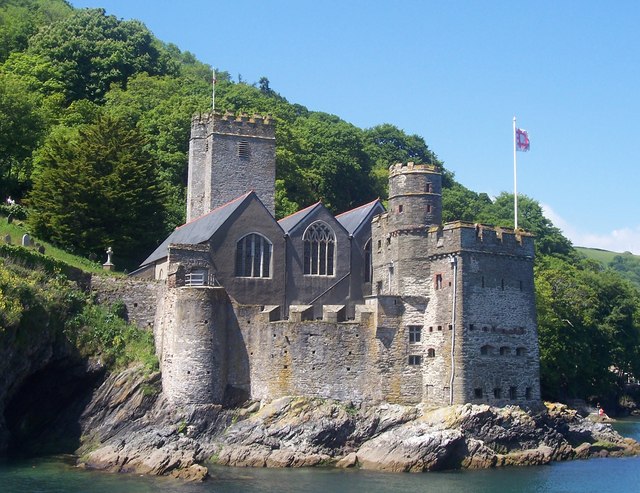 Dartmouth Castle
Further on, the walk passes behind old coastguard cottages and offers views of the entrance to the historic Dartmouth Harbour and, on the opposite side of the river, of Kingswear Castle, built in 1491 as a part of a chain of sea defences.
The present Dartmouth Castle was started in 1481 and was the most advanced fortification of its type at the time. Nearby is the Church of St Petrox dating from 1641.
From the castle, the route descends to Sugary Cove before continuing along the coast to Blackstone Point. On the way, you pass a coastguard look out hut with a flagpole and rack for notices. The grassy path now descends almost to sea level and runs along the back of a shelf of rocks which projects in rugged outcrops out into the sea. Further along, a bridge crosses a narrow inlet where the waves rush in, thundering into the cave they have cut into the cliff.
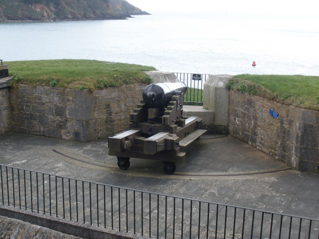 Cannon at Dartmouth Castle
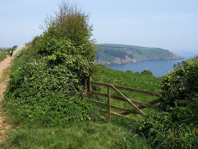 The coast near Little Dartmouth
Near here at Compass Cove, one of the first submarine cables was laid across the channel to Guernsey in 1860. A reminder of this is the telegraph marker pole showing where the cable lies.
From Compass Cove the walk climbs a steep grassy hillside, continuing along the cliff top. When you reach Warren Point there are splendid views westwards along the whole length of Start Bay as far as Start Point with its lighthouse.
From Warren Point the walk turns away from the stunning coastal scenery and heads inland along a bridlepath back to the start at Little Dartmouth.
Acknowledgments: Text derived from the Out and Out Series; Discovering the Countryside on Foot. Pictures courtesy of Wikipedia.


