Castle Combe, Bybrook River, Long Dean and Ford
A walk centred on one of the most attractive villages in England
Google Maps Open Source Maps| Statistics and Files | ||
|---|---|---|
| Start: Castle Combe | Distance: 3.8 miles (6.1 km) | Climbing: 173 metres |
| Grid Ref: ST 84187 77179 | Time: 2 hours | Rating: Easy |
| GPX Route File | Google Earth File | About Castle Combe |
| Statistics | |
|---|---|
| Start: Castle Combe | Distance: 3.8 miles (6.1 km) |
| Climbing: 173 metres | Grid Ref: ST 84187 77179 |
| Time: 2 hours | Rating: Easy |
| GPX Route File | Google Earth File |
Ordnance Survey Explorer Map (1:25,000)
The Walk: This walk starts from Castle Combe, a picture book village built of honey coloured Cotswold stone, framed by wooded hillsides. Many of the houses are hundreds of year old and all are listed as ancient monuments. The walk follows the course of a stream along a terraced hillside and through two other attractive villages before returning by no alternative route, which gives lovely views of remote hidden valleys. The countryside here is so rich in wild flowers and birds that it has been designated a conservation area.
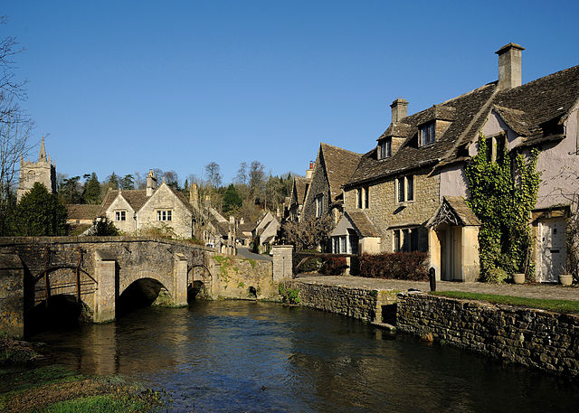 Castle Combe and Bybrook River
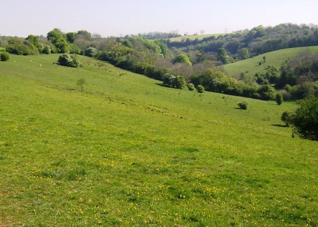 Truckle Hill
Castle Combe's magnificent church of St Andrew dates back to the 12th century. Old stone cottages clustered around the 14th century market cross and rows of weavers cottages stand beside the Bybrook River which powered the fulling mills in medieval times. Today the village contains more restaurants and inns than industry.
The nearby settlement of Long Dean is very small, a handful of cottages set in a remote valley, virtually unspoiled. It looks as if they are straight from the pages of a Thomas Hardy novel. The houses are linked by an old stony track, overgrown with grass, and their flower filled gardens contrast with the dark wooded hillsides.
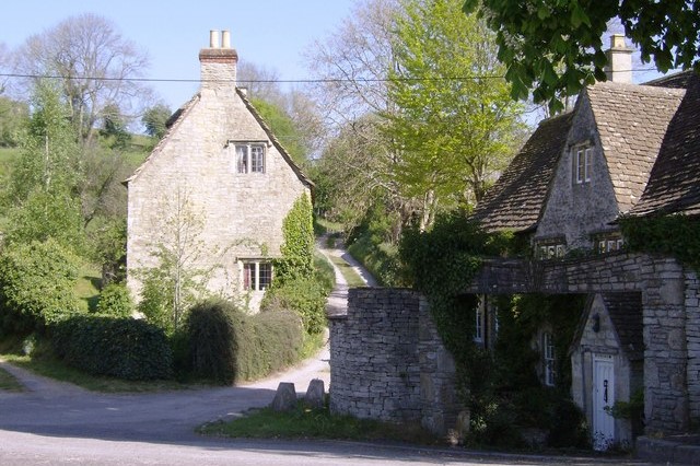 Cottages in Ford
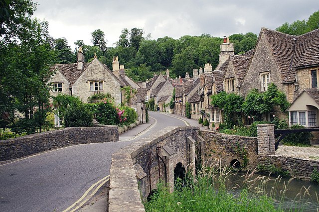 Castle Combe Bridge
From the tiny hamlet of Long Dean the path leads south-west on a course virtually parallel to the Bybrook River. Eventually it leads to the small and pretty village of Ford which lies beside the A420 road, at a distance four miles west of Chippenham and eleven miles east of Bristol. It is a busy road at times so it is fortunate that you leave its side a few strides from where you arrived.
Further on in the walk, it is possible to see the site of the Roman villa of Truckle Hill. It is off the route, but to visit it follow the track that leads off the North Wraxall Road. Just over one mile west of Truckle Hill runs the Fosse Way, the great Roman road that crosses the Cotswolds and connects Lincoln with Bath.
Acknowledgments: Text derived from the Out and Out Series; Discovering the Countryside on Foot. Pictures courtesy of Wikipedia.


