Pistyll Rhaeadr
To the foot of the highest waterfall in Wales
Google Maps Open Source Maps| Statistics and Files | ||
|---|---|---|
| Start: Pistyll Rhaeadr | Distance: 2.7 miles (4.4 km) | Climbing: 170 metres |
| Grid Ref: SJ 07421 29517 | Time: 1 hour | Rating: Easy |
| GPX Route File | Google Earth File | Pistyll Rhaeadr |
| Statistics | |
|---|---|
| Start: Pistyll Rhaeadr | Distance: 2.7 miles (4.4 km) |
| Climbing: 170 metres | Grid Ref: SJ 07421 29517 |
| Time: 1 hour | Rating: Easy |
| GPX Route File | Google Earth File |
Ordnance Survey Explorer Map (1:25,000)
The Walk: The cascading waters of Pistyll Rhaead form the highest waterfall in Britain outside the Scottish Highlands. The falls, one of the legendary 'Seven Wonders of Wales' are at the head of a long, narrow valley above the village of Llanrhaeadr-ym-Mochmant. Afon Disgynfa, which draws its water from a desolate moor surrounded by peaks of up to 2,700 feet high, falls over a sheer cliff for a hundred feet to a rock pool and then cascades down a further 140 feet. In the valley below the falls, the river becomes known as the Afon Rhaeadr.
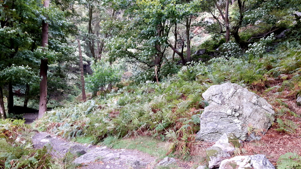 Woodland path leading from Pistyll Rhaeadr
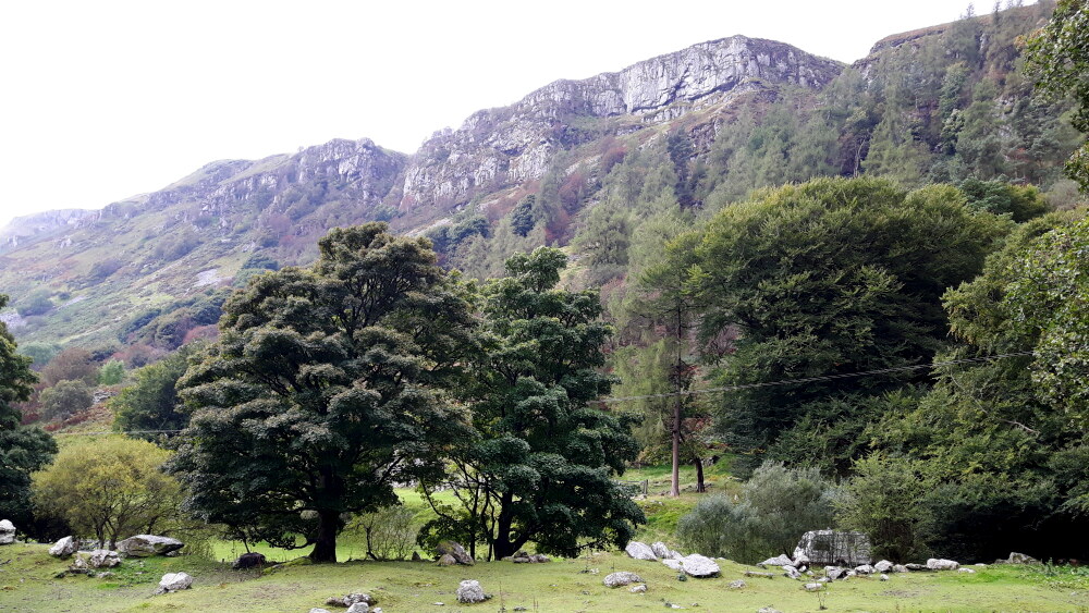 Cliffs of the Rhaeadr Valley
A small footbridge provides a good vantage point from which to dwell on the local legend that huge rocks at the base of the waterfall were dropped by giants who were disturbed when building a bridge.
About one third of the way up the waterfall is a natural rock arch. At the bottom corners of this arch are two grooves where the board was attached to deflect water into a aqueduct ditch. The ditch follows the contours of the valley side to the Craig y Mwn lead mines, some half a mile away. Shortly after leaving the falls, you will notice the workings of the Powis slate quarry, a small but once productive mine. The slates were mined above the aqueduct and dressed below it before being transported down to the valley.
There is evidence that the Craig y Mwn mines were worked from Roman times, or even earlier. The technique of fire and water was used; this involving heating the rock with fire and then suddenly cooling it to shatter it.
 Afon Rhaeadr Footbridge
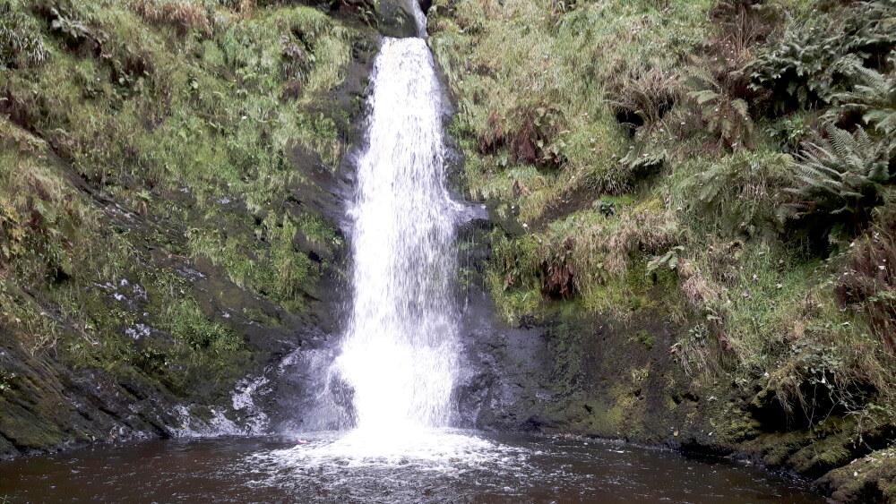 Pistyll Rhaeadr Final Drop
The ancient trackway in the valley bottom was used in both the Bronze Age and Roman times. More recently, the mines were worked from 1733 to 1880, producing ten to twelve tonnes of pure lead per week before being closed.
At the mines you will see the aqueduct supplied a reservoir. This in turn fed a small ditch leading to a large water wheel. The water then flowed onto the filter beds where the crushed door was washed to separate the rock. At the far side of the spoil heap are the remains of the workers cottages. Above is the incline from the upper levels.
The nearby village of Llanrhaeadr-ym-Mochmant is an important place in Welsh literary history because it was here that Bishop William Morgan translated the Bible into Welsh in the 1580's.
Acknowledgment: Text derived from the Out and Out Series; Discovering the Countryside on Foot. Pictures courtesy of Wikipedia.


