Pontypool Park and Monmouthshire and Brecon Canal
A varied walk across country to a folly and then along a canal
Google Maps Open Source Maps| Statistics and Files | ||
|---|---|---|
| Start: Pontypool Park Gates | Distance: 5.6 miles (9.0 km) | Climbing: 206 metres |
| Grid Ref: SO 29071 00496 | Time: 2-3 hours | Rating: Moderate |
| GPX Route File | Google Earth File | About Pontypool |
| Statistics | |
|---|---|
| Start: Pontypool Park Gates | Distance: 5.6 miles (9.0 km) |
| Climbing: 206 metres | Grid Ref: SO 29071 00496 |
| Time: 2-3 hours | Rating: Moderate |
| GPX Route File | Google Earth File |
Ordnance Survey Explorer Map (1:25,000)
The Walk: The beginning of the walk takes you through the Pontypool Park Gates. These were made about 180 years ago in the local ironworks, and are a fine example of raw iron work. Pontypool claims to be the home of the South Wales iron industry, for there were forges here as far back as 1425. Along the way, you will encounter the Pontypool Park Grotto, a stone curiosity built by Lady Molly Mackworth in about 1830. It is decorated inside with shells of all shapes and sizes.
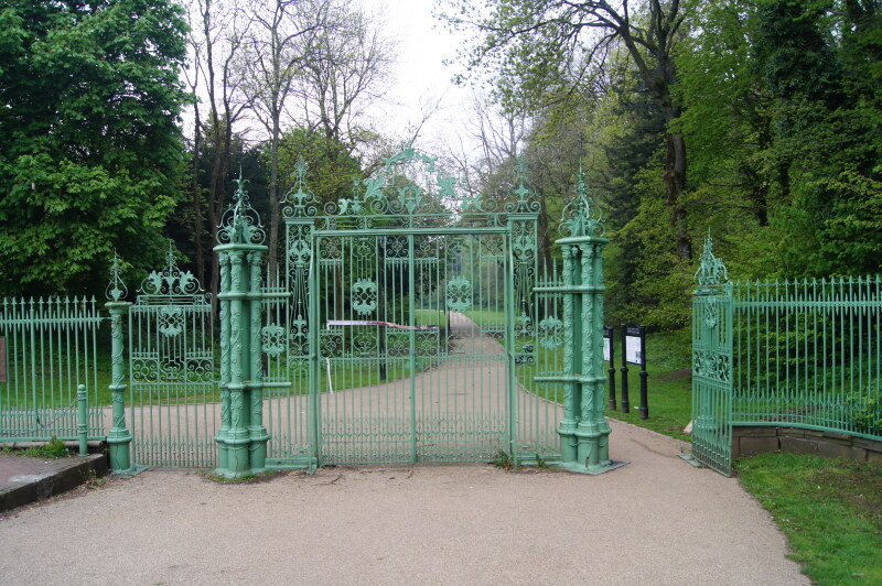 Pontypool Park Gates
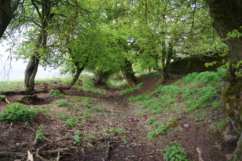 Path through Pontypool Park
After climbing up through the parkland, on a low mound stands the Pontypool Folly, a battlemented tower. It was built as a summer house by the Hanbury family in the 18th century. During World War Two, the War Office ordered that the Folly be demolished as it might be used by the Luftwaffe aiming a bombing run on nearby Royal Ordnance Factory Glascoed. It was not until 1990 that the Folly was restored to its former glory when the Campaign for the Reconstruction of the Folly Tower (CROFT) achieved sufficient backing so that the required £60,000 was raised. This was achieved due to contributions from the Prince of Wales' Committee and European Regional Development Fund.
Further on you come to a stony track which runs downhill. This ancient route is reputed to be a Roman road, but is more likely to be a medieval packhorse route.
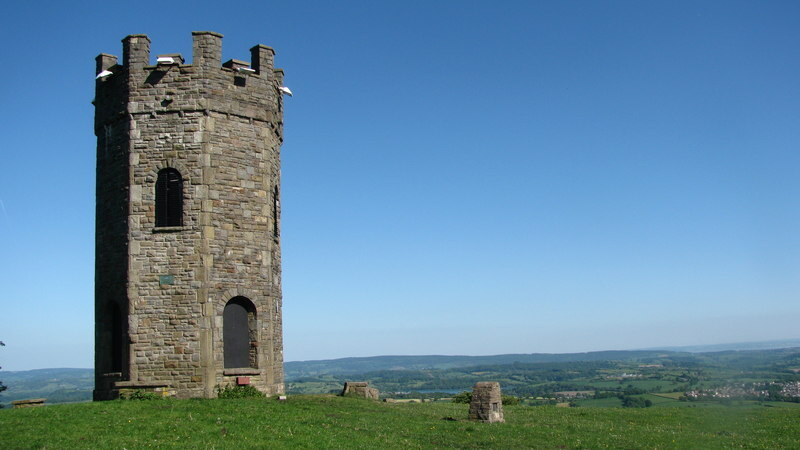 Pontypool Folly Tower
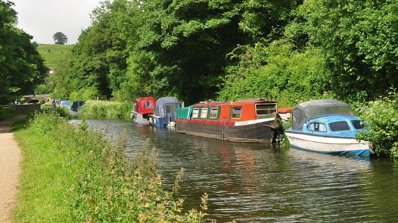 Monmouthshire and Brecon Canal
The walk returns along a section of the Monmouthshire and Brecon Canal (formerly the Brecknock and Abergavenny Canal), said to be one of the most beautiful waterways in Britain. It flows through the Brecon Beacons National Park and follows the Usk Valley from Brecon to Pontymoel. It is navigable throughout the distance and organised boat trips start from both Brecon and Abergavenny.
The Pontymoel Basin used to be at the junction of the Monmouthshire Canal and the Brecknock and Abergavenny Canal, which officially ends here. In the little Toll Cottage sat a toll clerk whose job was to gauge the boats and determine their loads so that the appropriate toll could be charged.
Book out for water shrews, water voles, heron dace, gudgeon, eel and carp on the canal. Insects of interest may include the waterboatman and dragonfly.
Acknowledgment: Text derived from the Out and Out Series; Discovering the Countryside on Foot. Pictures courtesy of Wikipedia.


