Moel Famau Country Park and Moel Arthur
A walk to a mysterious hillfort in the Clwydian Range
Google Maps Open Source Maps| Statistics and Files | ||
|---|---|---|
| Start: Gospel Pass | Distance: 3.3 miles (5.4 km) | Climbing: 279 metres |
| Grid Ref: SJ 13938 66762 | Time: 2 hours | Rating: Moderate |
| GPX Route File | Google Earth File | About Moel Arthur |
| Statistics | |
|---|---|
| Start: Gospel Pass | Distance: 3.3 miles (5.4 km) |
| Climbing: 279 metres | Grid Ref: SJ 13938 66762 |
| Time: 2 hours | Rating: Moderate |
| GPX Route File | Google Earth File |
Ordnance Survey Explorer Map (1:25,000)
The Walk: A bare rounded hill with a small cone rising to 1,494 feet (455 metres) is the focal point of this walk. It provides magnificent views, but it is harder to define the mystery of its legend and its name. Llwybr Clawdd Offa (Offa's Dyke Path) is followed for the first mile of this walk, all of it within Moel Famau Country Park. The 177 mile long Offa's Dyke Path route became Britain's fourth official Long Distance Path (now called a National Trail) in 1971. Although named after the 8th century dyke, this section follows the scenic hills of the Clywdian Range rather than the remnants of either Offa's Dyke or the earlier Wat's Dyke which lies to the east of it.
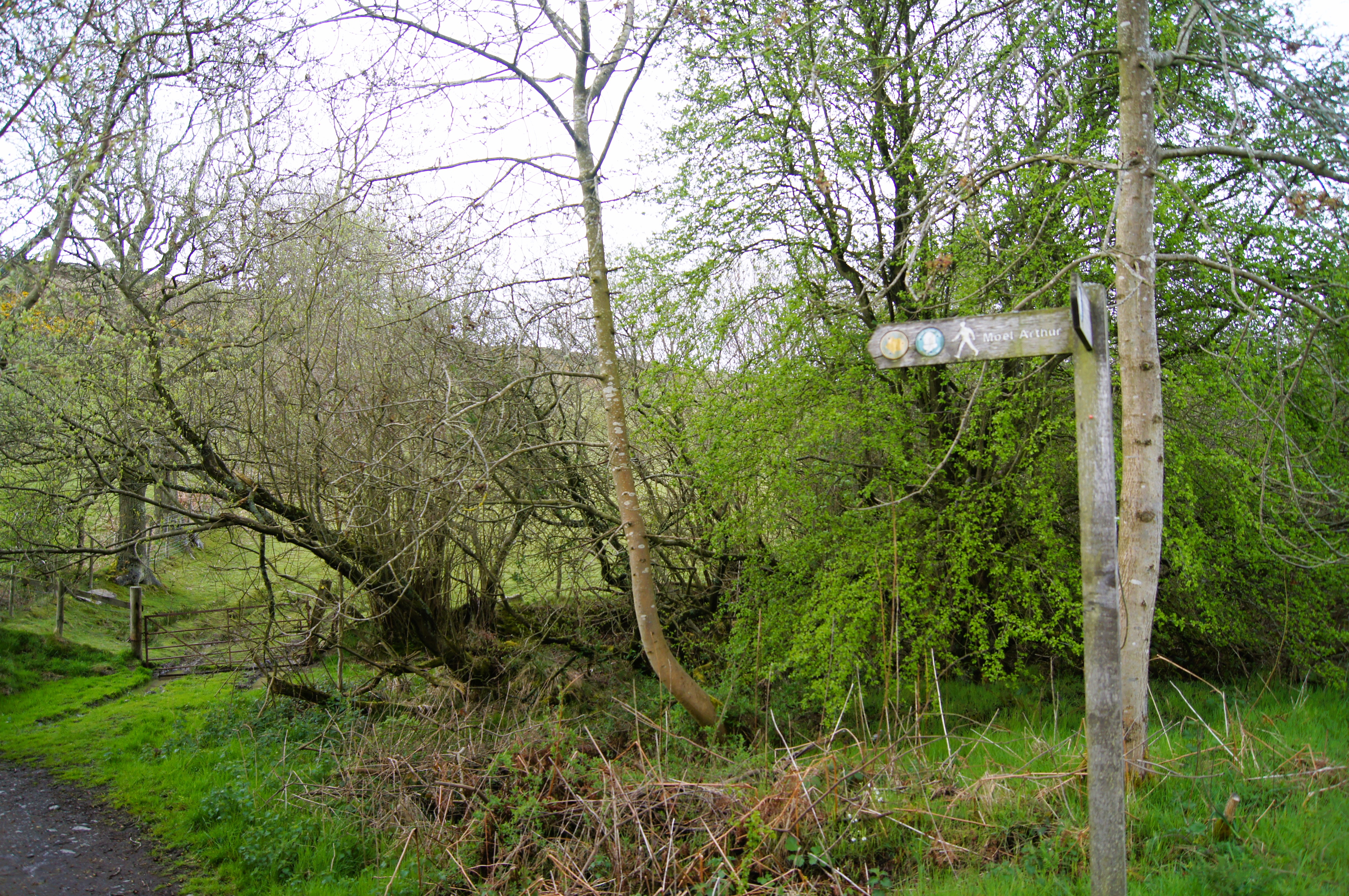 Setting off from Coed Llangwyfan and Penycloddiau
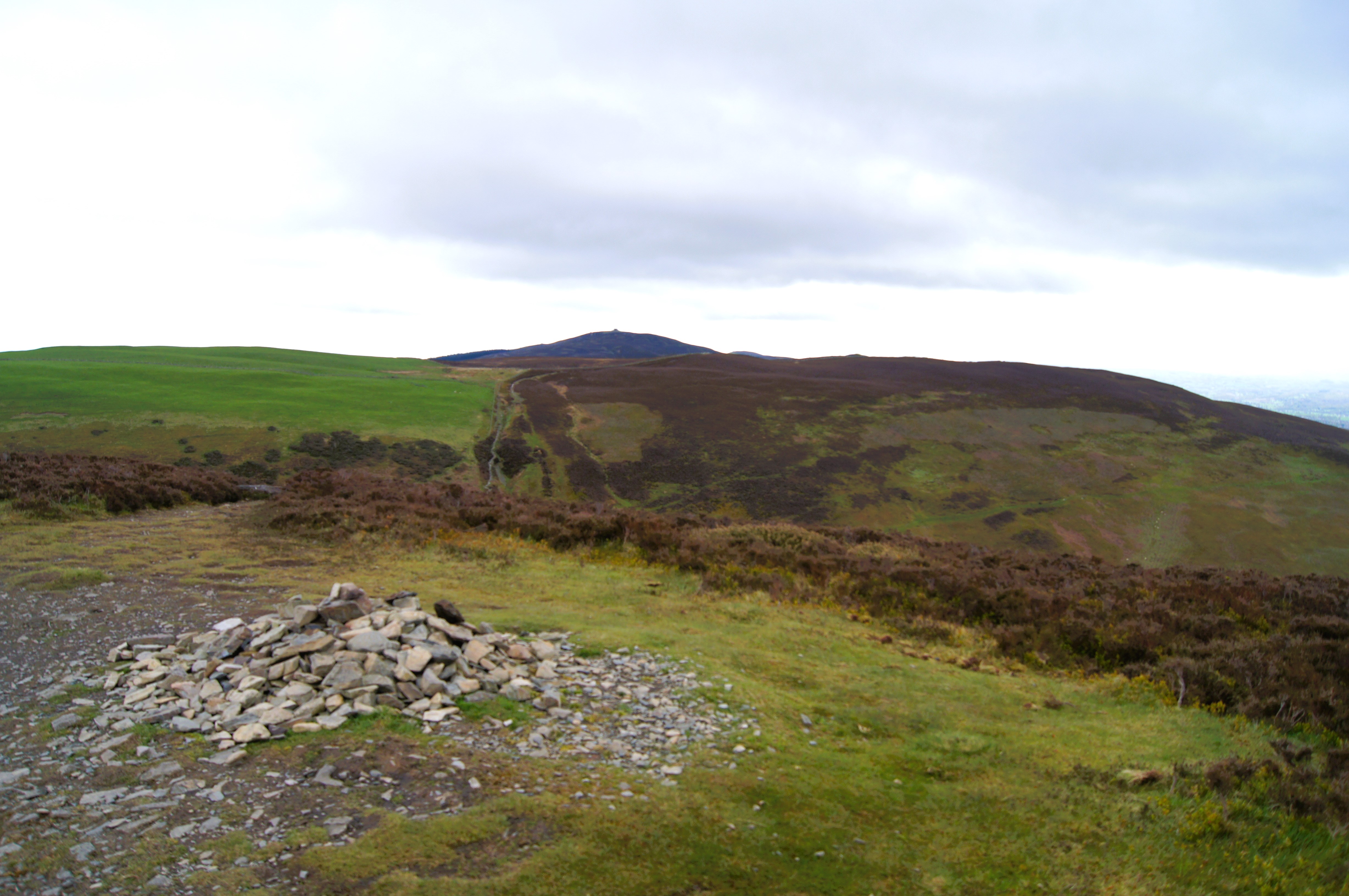 The summit of Moel Arthur
Impressive triple lines of defence form the hill fort on the summit of Moel Arthur. This is just one of several hill fort strung along the Clywdian Range. These forts were used for defence during the Bronze Age - axes from this time have been found here. Coarse Roman pottery has also been unearthed, so it is possible that the site was inhabited in the 6th century when the legendary King Arthur commanded the British forces.
Whether Arthur is involved with the treasure chest reputedly buried near the summit is not clear. Perhaps it is connected with Boudicca, the English Warrior Queen, who may have been buried here. As legend has it, a supernatural light sometimes shows where the chest is buried, while a grey lady is also said to appear. Once she gave peas to her man and ordered him home where he found they had changed into pieces of gold.
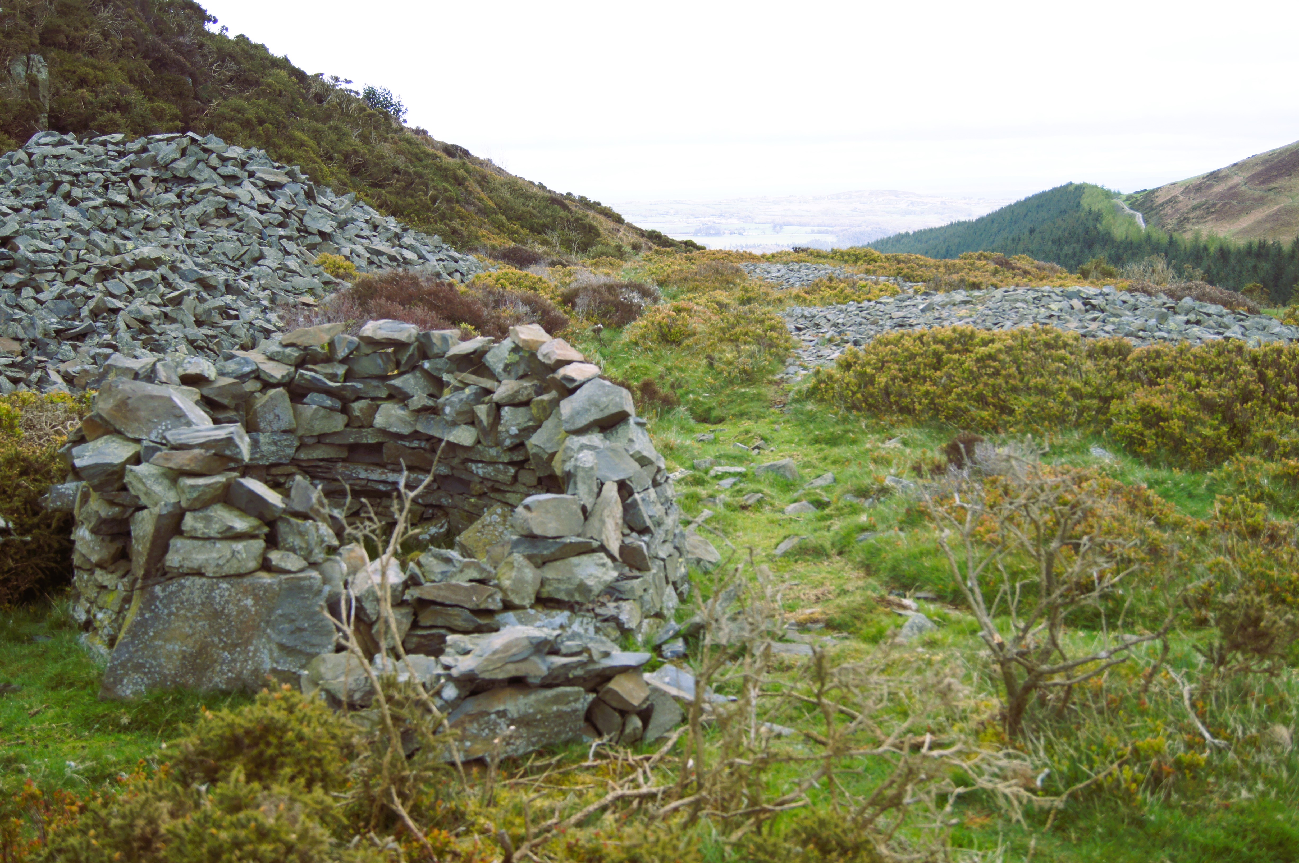 Stone shelter below Moel Arthur
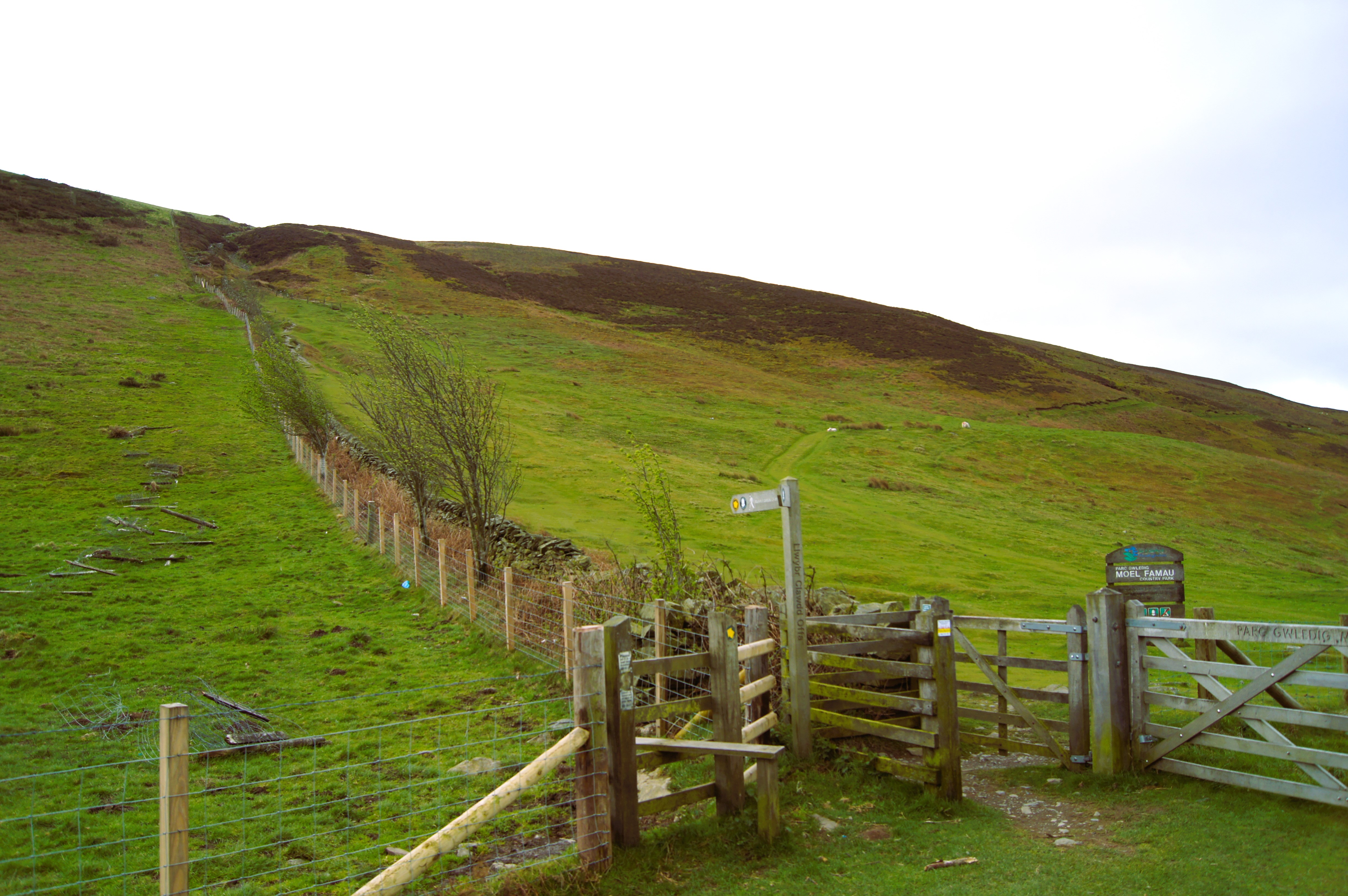 Climb to Moel Arthur from the road
On a fine day, there are views over Denbigh in the valley to the west, and even of Blackpool Tower beyond Liverpool (whose Anglican Cathedral can also be distinguished) to the north east.
As you descend, notice the steep slope on your right. This used to be a notorious descent for backpackers bound for Prestatyn before the trail was diverted. Here you can enjoy the purple heather of the hill and a fine display of gorse whose prickly yellow flowered shrubs occupy the edges of fields. Llangwyfan Forestry Plantation is stocked with foreign conifers. Clear felling may have taken place by the time you walk here.
Acknowledgment: Text derived from the Out and Out Series; Discovering the Countryside on Foot. Pictures courtesy of Wikipedia.


