Ynyslas Sand Dunes and Borth Sands
A walk through a National Nature Reserve, past a petrified forest and sunken kingdom
Google Maps Open Source Maps| Statistics and Files | ||
|---|---|---|
| Start: Visitor Centre | Distance: 5.8 miles (9.3 km) | Climbing: 11 metres |
| Grid Ref: SN 60955 94103 | Time: 2-3 hours | Rating: Easy |
| GPX Route File | Google Earth File | About Ynyslas |
| Statistics | |
|---|---|
| Start: Visitor Centre | Distance: 5.8 miles (9.3 km) |
| Climbing: 11 metres | Grid Ref: SN 60955 94103 |
| Time: 2-3 hours | Rating: Easy |
| GPX Route File | Google Earth File |
Ordnance Survey Explorer Map (1:25,000)
The Walk: This is a flat, easy walk with magnificent views of the mountains of Meirionnydd across the Dyfi estuary. There is much to see along the way at close quarters. Nature and legend mingle to make this a very special place. Embankment paths take you over a peat bog before you turn back along a sandy beach to the Ynyslas Sand Dunes, where the information centre provides abundant literature on the various forms of wildlife to be seen in the area.
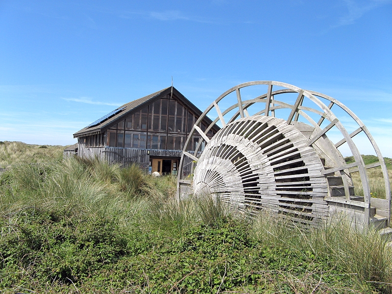 Ynyslas Visitor Centre
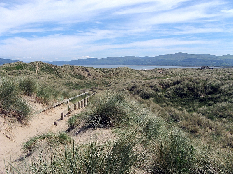 Ynyslas Sand Dunes
The sand dunes of Ynyslas have been formed by in the last 400 years by wind blown sand. The ecological system is very fragile so take care to avoid damaging it by not leaving the designated paths. In the mid 19th century plans to build a railway bridge across the Dyfi estuary from here were abandoned due to the lack of firm foundations.
The vast expanse of sand on the inland side of the dunes looking up the estuary of Afon Dyfi is known as Traeth Maelgwyn. It earned its name in the 6th century when Maelgwn Gwynedd (the Sir Lancelot of the Arthurian tales), held a meeting of the Welsh prices here to determine their overall leader. It was decided to test the contenders with a competition. The winner would be the one able to sit in his chair longest as the tide came in onto the beach.
Maeldaf Hen, Maelgwn's adviser, enabled his prince to win by constructing a chair out of waxed bird's wings. The ceremony is re-enacted every year in the Borth Carnival at the end of September.
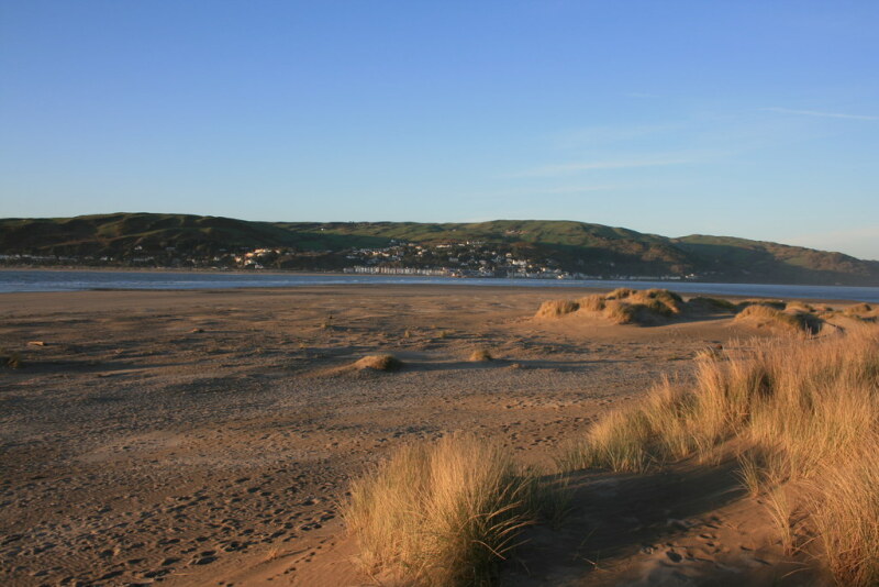 Borth Sands
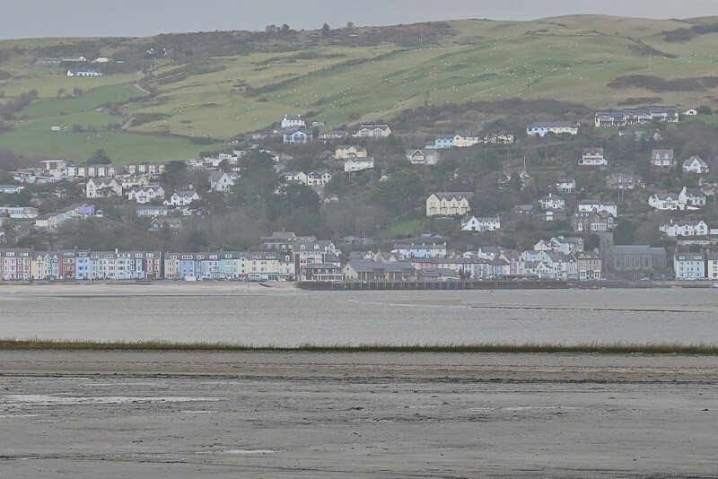 View across the Dyfi Estuary to Aberdyfi
The Afon Leri is a river that has been turned into a canal. It was redirected towards the estuary in 1824, so that a wharf could be built to take advantage of sheltered moorings. Old ships were sunk to provide a base for the new channel through the peat bogs of Cord Fochno. The river formerly flowed into the sea at Abelerry.
If you come when the low spring tide is out, you will be transported into another world as you walk along the beach. For you should then see the remains of a petrified forest, including stumps of Scot's Pine, Birch, Alder, Oak and Willow. Legend has an explanation - describing the lost land of Cantre'r Gwaelod, which was drowned by the sea in the 6th century. Its lord, Gwyddno Garanhir ended up as a fisherman here. Scientists date the forest to about 3,500 BC.
Acknowledgment: Text derived from the Out and Out Series; Discovering the Countryside on Foot. Pictures courtesy of Wikipedia.


