Barmouth, Bwlch y Llan, Garn and Dinas Oleu
A rugged hill walk overlooking the Mawddach Estuary
Google Maps Open Source Maps| Statistics and Files | ||
|---|---|---|
| Start: Barmouth | Distance: 4.8 miles (7.7 km) | Climbing: 413 metres |
| Grid Ref: SH 61353 15552 | Time: 2 hours | Rating: Hard |
| GPX Route File | Google Earth File | About Barmouth |
| Statistics | |
|---|---|
| Start: Barmouth | Distance: 4.8 miles (7.7 km) |
| Climbing: 413 metres | Grid Ref: SH 61353 15552 |
| Time: 2 hours | Rating: Hard |
| GPX Route File | Google Earth File |
Ordnance Survey Explorer Map (1:25,000)
The Walk: Barmouth (Abermaw in Welsh) is a resort on the Cambrian coast that is very popular for its fine sandy beaches. This walk, though, explores the equally magnificent scenery behind the town, where the rocky hills rise steeply to provide strenuous but dramatic walking and views are as intoxicating as the sea breezes.
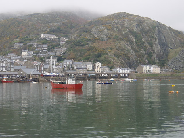 Barmouth and Dinas Oleu
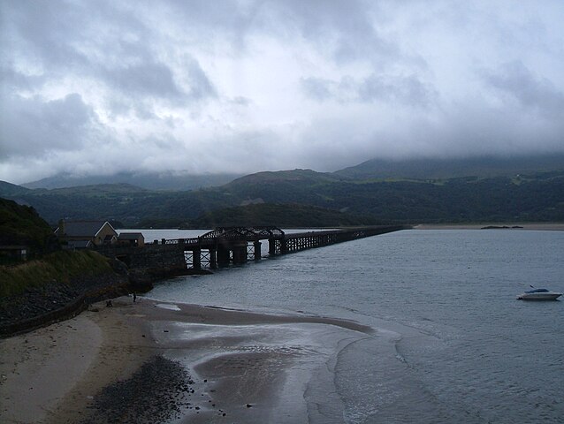 Mawddach Estuary and Barmouth Bridge
The Victorians discovered the charms of Barmouth when the railway arrived here in 1867. Queen Victoria herself never made the trip; she was meant to lay the foundation stone of St John's Church in 1889, but withdrew in favour of Princess Beatrice because of the intensity of Welsh feeling against paying tithes to the Church of England.
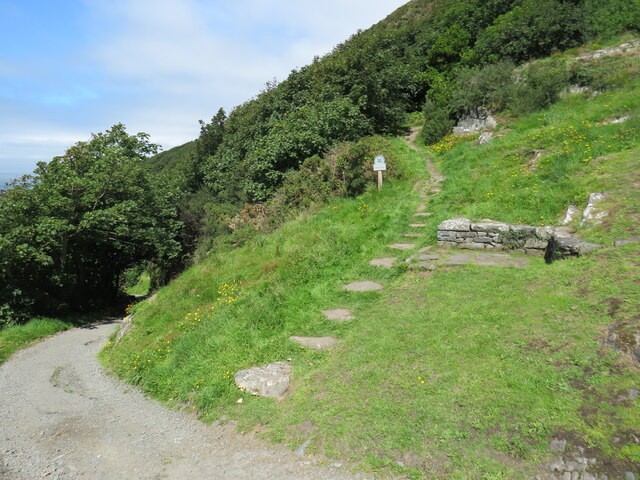
The Victorian and Edwardian buildings of the resort town soon drop away as you begin to climb into the foothills to the east. Miners once made this climb. The old levels passed on this walk were worked for manganese ore. It is still possible to find lumps of rock containing pyrites scattered about, but it is unwise to venture into the dangerous, abandoned tunnels.
As you go higher, you enter a Celtic paradise of rugged wilderness and small walled fields and cross into the Snowdonia National Park.
There are splendid views all the way along the route from here, inland to the Rhinogs, and out to sea, taking in the wide sweep of Cardigan Bay from Bardsey Island to Pembrokeshire. As you turn back to the south, the incomparable splendour of the Mawddach estuary, with the massive bulk of Cader Idris rising beyond it, is your constant companion to the left. This wild, untamed spot is also a haven for rock climbers, who often swarm over the stark slabs above the estuary.
 Dinas Oleu (
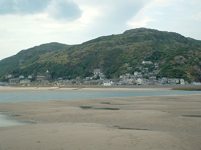 View to Barmouth and the hills
As you descend again towards the town, there are reminders of a very different way of life. John Ruskin, the Victorian critic and author, founded the Guild of St George in 1871 to promote his ideas on social justice. Land and cottages for working men just below the ancient site of Dinas Oleu (Fortress of Light) were donated to the guild by a supporter.
One of the tenants was a Frenchman, August Guyard, a friend of Victor Hugo, who had attempted to form a model community in France. His utopia fell foul of both the Roman Catholic Church and the Emperor Napoleon III, and he came to Britain with his daughters in order to escape the Franco-Prussian War in 1870. His grave is located just above the cottage where he spent his last years. He dictated his epitaph to his daughter the day before he died in 1882.
There is much to do and see on your return to Barmouth. Particularly recommended is a visit to the lifeboat museum by the harbour.
Acknowledgment: Text derived from the Out and Out Series; Discovering the Countryside on Foot. Pictures courtesy of Wikipedia.


