Melbourne, Thornton and Pocklington Canal
A wildlife walk through a varied lowland landscape
Google Maps Open Source Maps| Statistics and Files | ||
|---|---|---|
| Start: Melbourne | Distance: 5.9 miles (9.5 km) | Climbing: 18 metres |
| Grid Ref: SE 75288 44065 | Time: 3 hours | Rating: Easy |
| GPX Route File | Google Earth File | About the Pocklington Canal |
| Statistics | |
|---|---|
| Start: Melbourne | Distance: 5.9 miles (9.5 km) |
| Climbing: 18 metres | Grid Ref: SE 75288 44065 |
| Time: 3 hours | Rating: Easy |
| GPX Route File | Google Earth File |
Ordnance Survey Explorer Map (1:25,000)
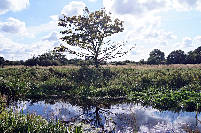
The Walk: The extensive area of marshes, water meadows and dykes that make up the flood plain of the Yorkshire Derwent provides a number of wildlife habitats. Most of it is protected as the Lower Derwent Valley National Nature Reserve, a popular site with ornithologists; this walk skirts part of the reserve, at Thornton Ings and Melbourne Ings.
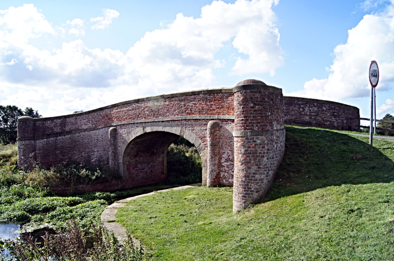 Church Bridge on Pocklington Canal
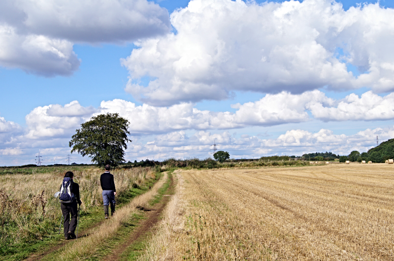 The path from Melbourne towards Thornton
The route starts from the village of Melbourne, and heads for the Pocklington Canal. Opened in 1818, the waterway provides a link between the navigable River Derwent and the market town of Pocklington, at the foot of the Yorkshire Wolds. Although the canal was closed in the 1930's, a considerable length has now been reopened and boats can travel from the river as far as Melbourne, where a canal basin branches off the main waterway.
East of the basin, the canal's condition immediately begins to worsen and by the time you reach Church Bridge it is well silted up. The lack of boat traffic has its compensations though. Waterbirds, especially swans and moorhens, thrive in the peaceful watery surroundings. From Church Bridge turn right to follow Church Lane, lined with blackthorn and tall reeds, leading to the village of Thornton, which is a mixture of old agricultural cottages and modern houses. Both types are brick-built and have the pantiled roofs that are characteristic of the East Riding.
At the far side of the village, the route continues along a farm lane. the hedgerows on both sides are thick with wild flowers, and the fields behind them grow a range of crops from maize and wheat to potatoes and sugarbeet. As you turn left and back towards the canal, a view of the escarpment of the Yorkshire Wolds opens up behind you.
 Pocklington Canal
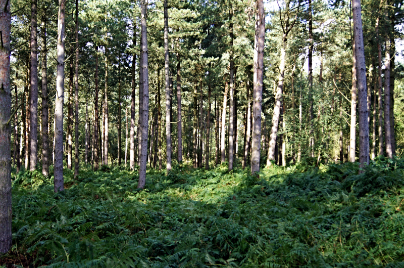 Bracepits Wood
You cross Bielby Bridge and rejoin the towpath at a swing-bridge. This begins a particularly verdant section of the walk. Mature trees line the path, and the lush vegetation supports several kinds of dragonfly. The whole of the canal is designated a Site of Special Scientific Interest for its wildlife value.
South of the waterway, the land changes character, with small copses, and thick hedges dividing the fields. The paths, though waymarked, are often indistinct. Away to your left is Melbourne Grange, a substantial brick built farmhouse.
The route leads round Bracepits Wood. Beyond it is Melbourne Hall, a late 18th century mansion with extensive stables. The approach to it from the road goes through parkland and the right of way passes close to the front of the house.
The final leg of the walk offers views ahead and to the left of Melbourne's church. Constructed in 1882, it is the most unusual building on the walk. It is roofed, colonial style, with sheets of corrugated iron.
If you have enjoyed walking in this area then you may wish to try my walk on the full non-navigable length of Pocklington Canal, 'Pocklington Canal, Bielby Lock, Melbourne and Allerthorpe'.
Acknowledgments: Text derived from the Out and Out Series; Discovering the Countryside on Foot. Pictures courtesy of Wikipedia.


