Yorkshire Heritage Way
A personal record of my walk of the Yorkshire Heritage Way with a written journal and with photographs. Tracklogs for GPS units and for use with Google Earth are available for download for each stage.
Journal, Photographs and Download Files
Stage 02: Askwith to Low Laithe
Google Maps Open Source Maps| Statistics and Files | ||
|---|---|---|
| Start: Askwith | Finish: Low Laithe | Distance: 15.2 miles (24.5 km) |
| Time: 6-8 hours | Climbing: 269 metres | Rating: Moderate |
| GPX Route File | Google Earth File | About Askwith |
| Statistics | |
|---|---|
| Start: Askwith | Finish: Low Laithe |
| Distance: 15.2 miles (24.5 km) | Time: 6-8 hours |
| Climbing: 269 metres | Rating: Moderate |
| GPX Route File | Google Earth File |
Ordnance Survey Explorer Map (1:25,000)
297 Lower Wharfedale and Washburn Valley
298 Nidderdale
299 Ripon, Boroughbridge and Easingwold
The Walk:
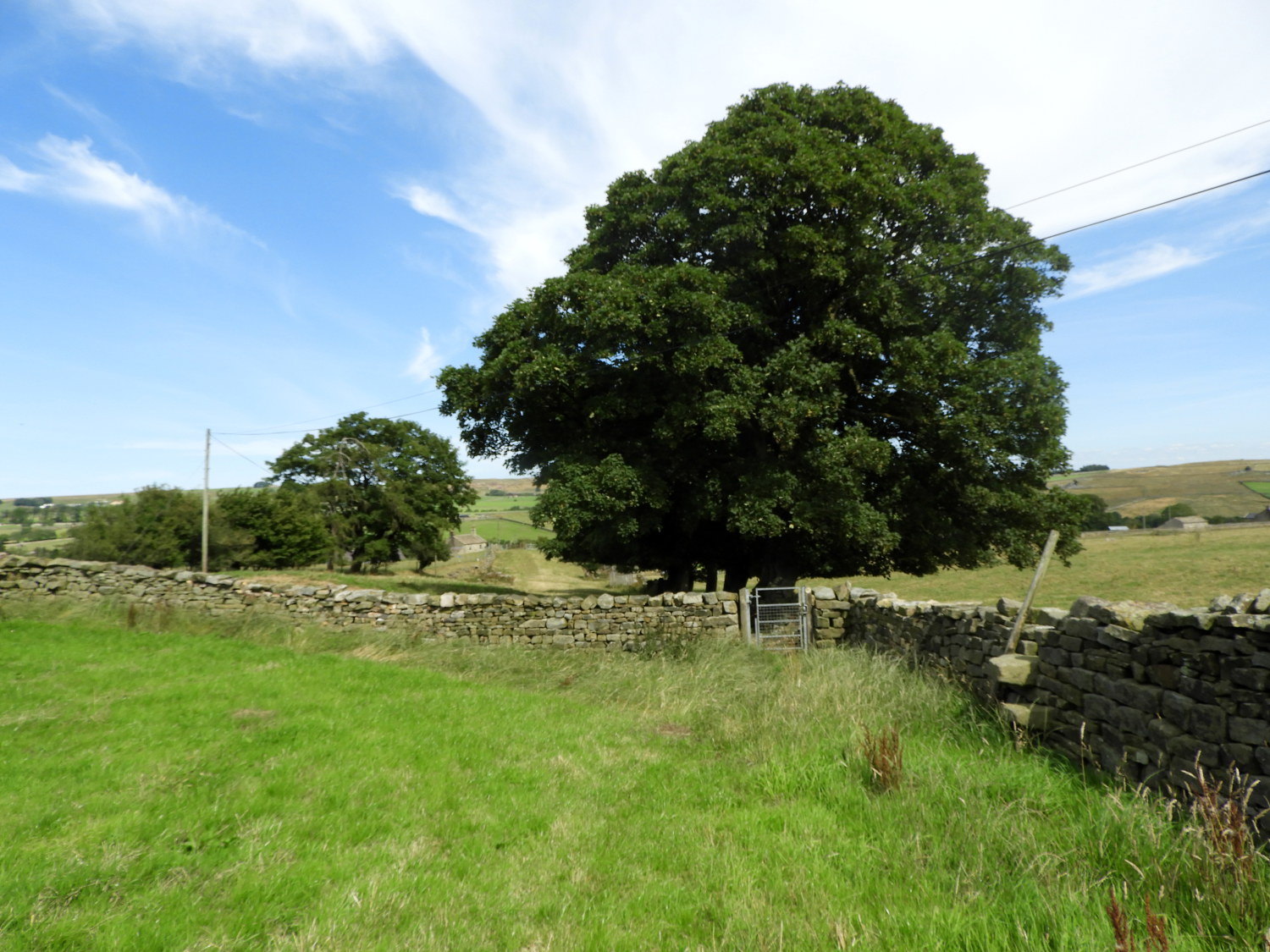
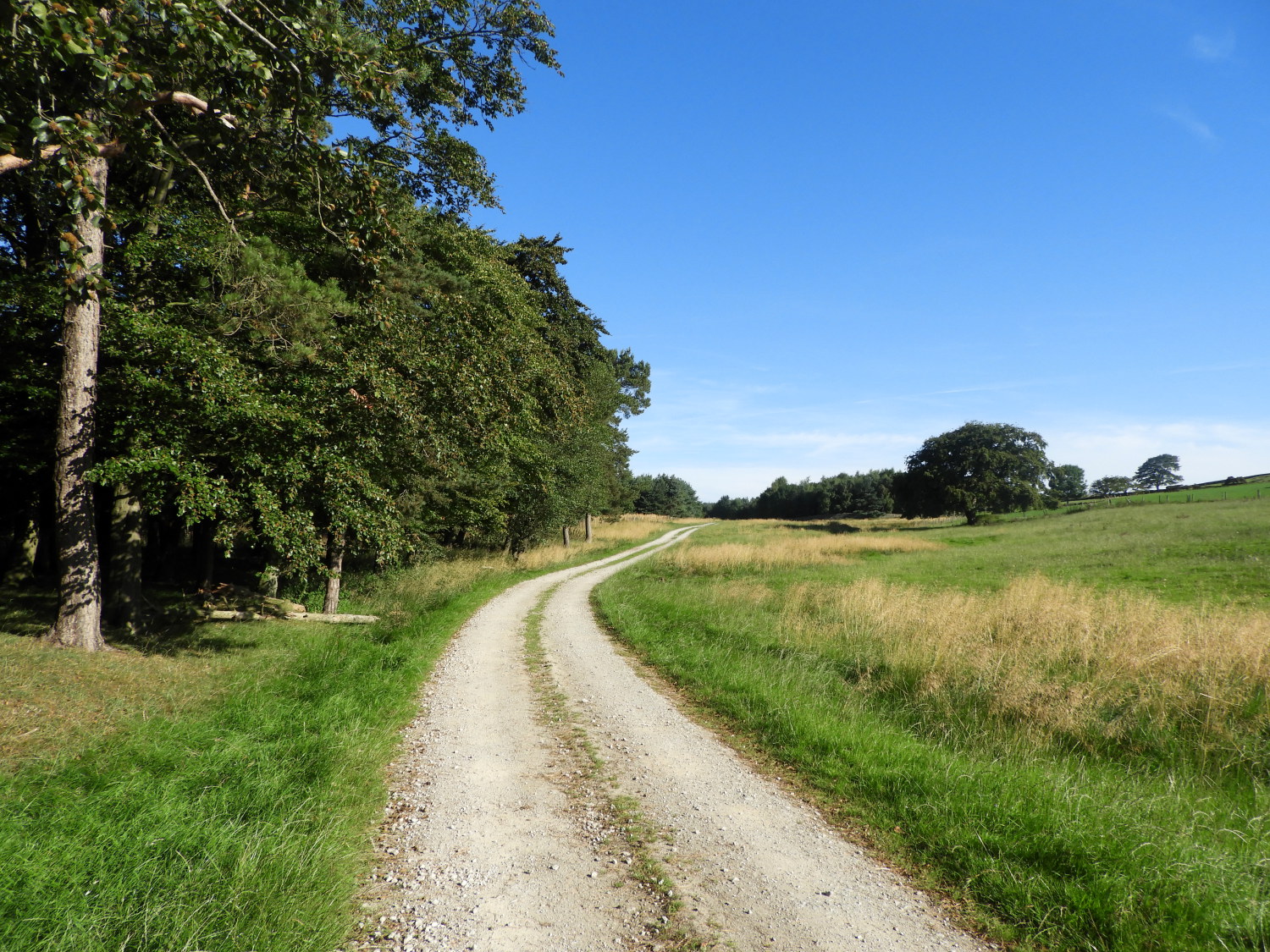 Following the climb from Hall Lane
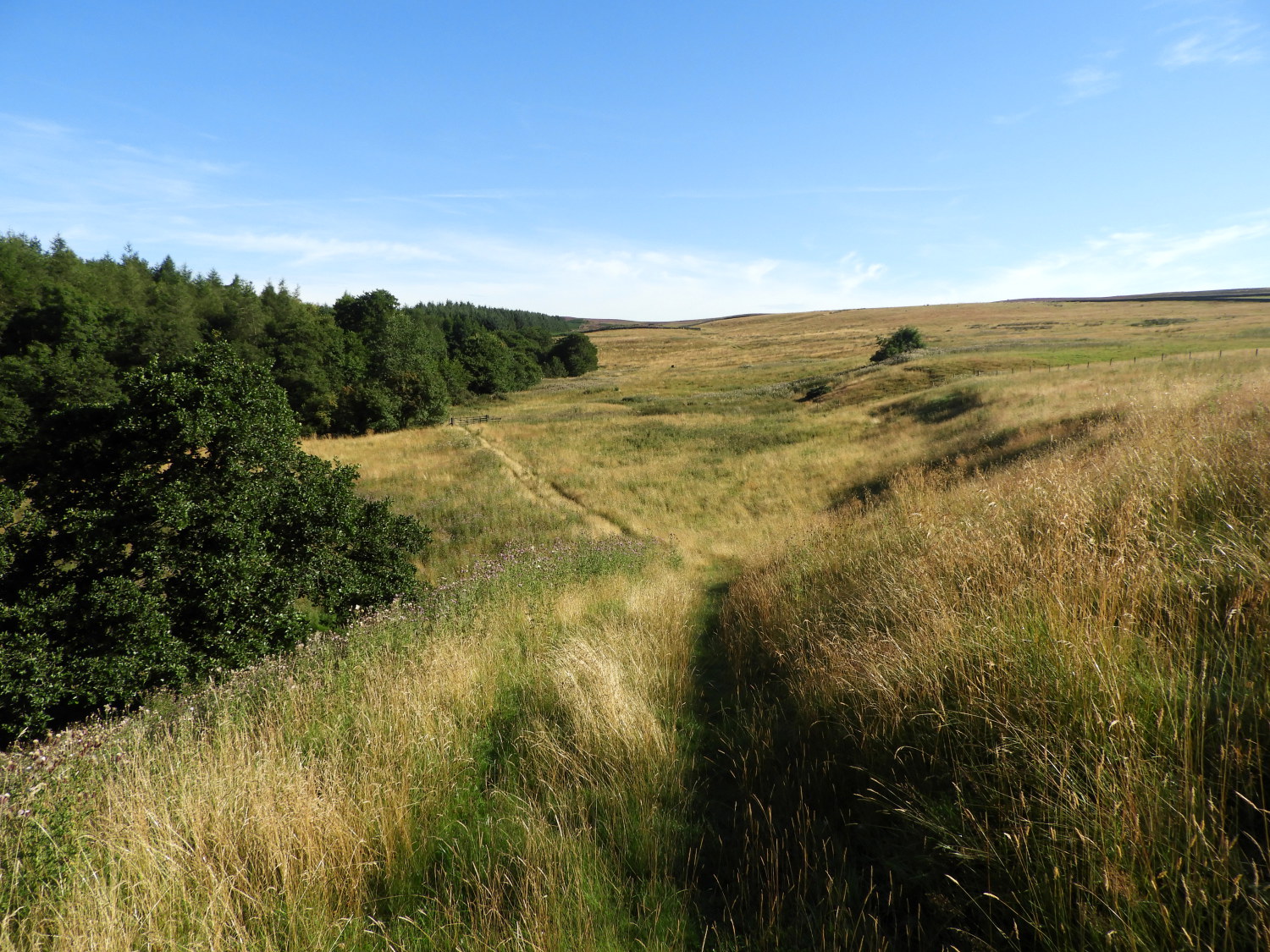 Near Scales Gill and Hundwith Beck
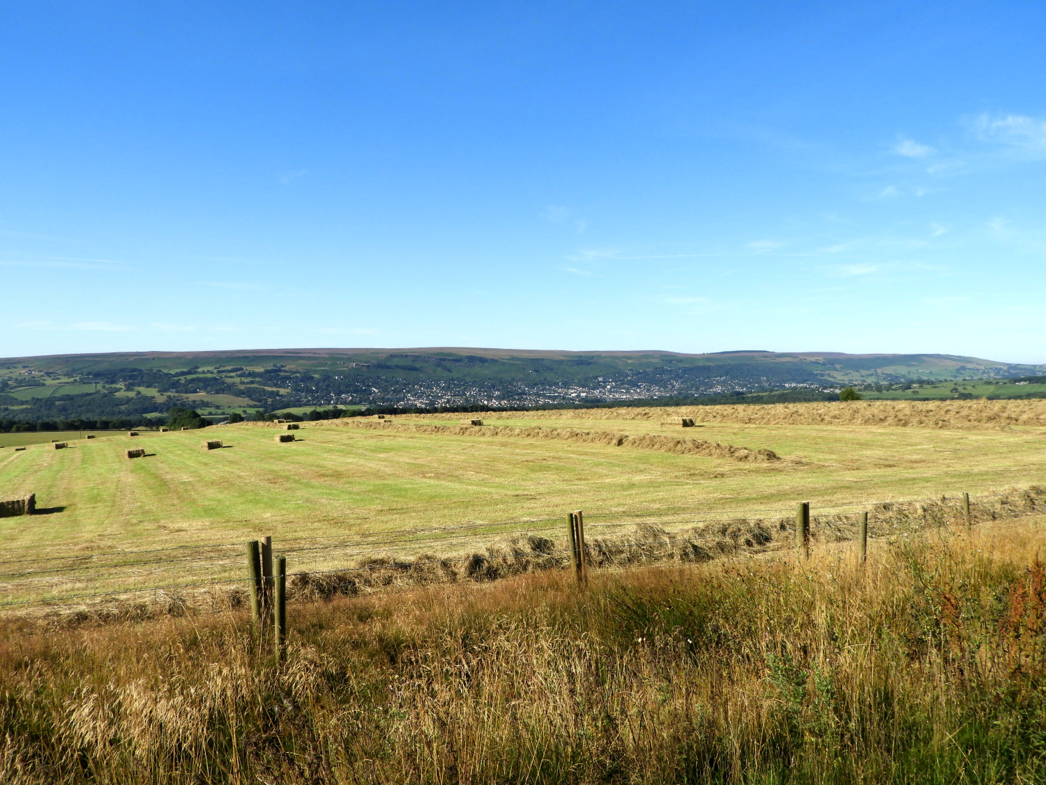
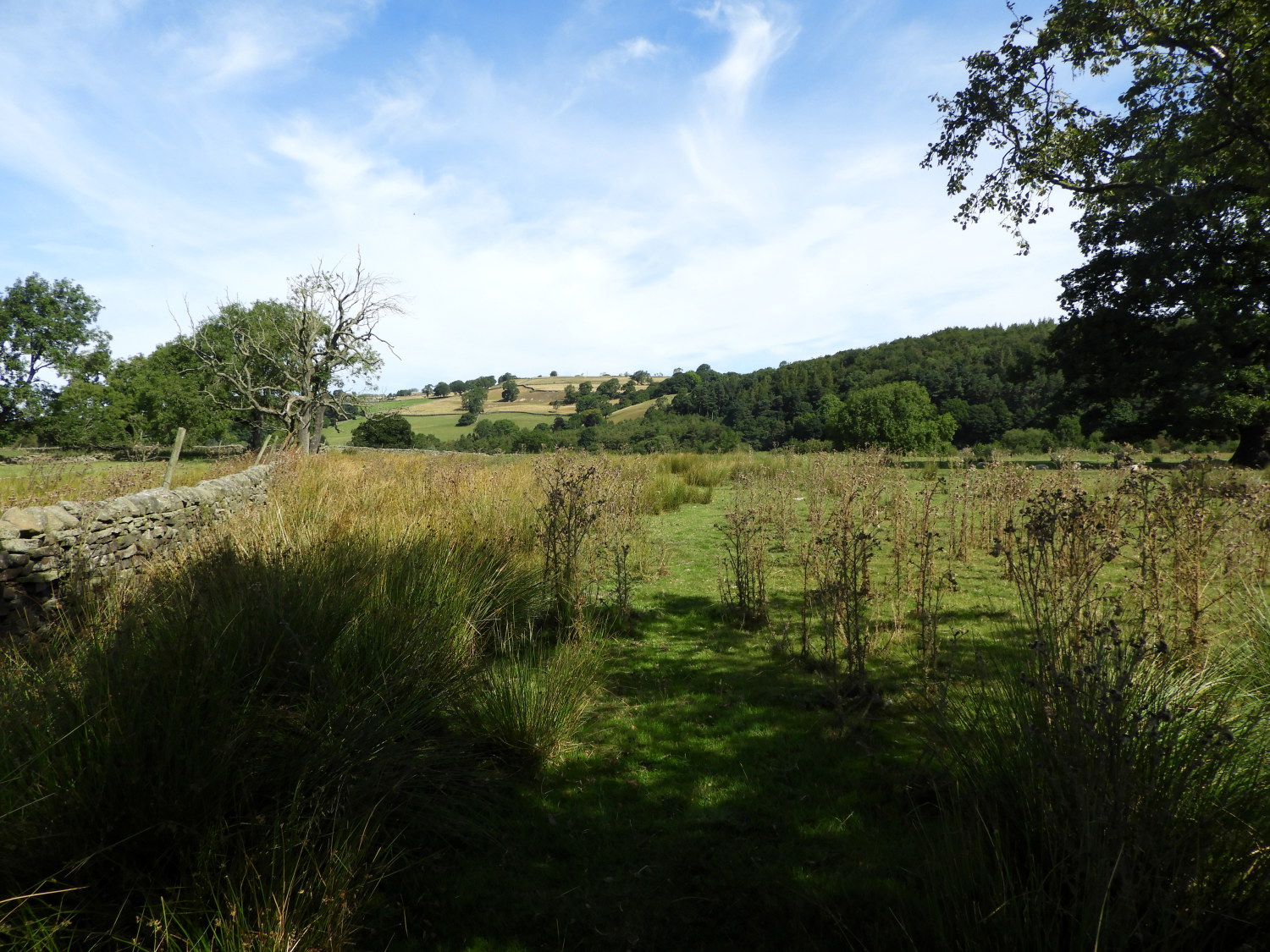
Yet another beautiful summer's day had dawned by the time I had risen and by the time I had washed, dressed and eaten breakfast the mercury in our dining room wall thermometer was nicely rising. Little cloud was promised in the daily weather forecast, a definite light t-shirt day. Once dropped off by Lil at last night's Heritage Way finishing point in Askwith I was on my way, immediately climbing from the village on the edge of the Wharfedale Valley by way of Hall's Lane towards Scales House Farm which marks the point where the metalled tarmac road gives way to unmade bridleway. Soon after the bridleway ceded to unmade path and one lightly used at that. Once on the narrow upland path I noticed it was so quiet. Not even the caw of corvids, which I had heard in the nearby farmland fields on the climb up Hall's Lane, were up here. It was eerily silent, so quiet with no wind to rustle the grasses. Everything was still and I had to generate the only audible sound myself by swishing through the grass as I walked. It was heavenly.
 Bunker's Hill Wood
 Approaching Pinder's Plantation
I had never accessed Denton Moor/ Askwith Moor on this particular path before but as I walked it seemed familiar. "I have been here before" I thought, the realisation becoming more concrete as I walked onwards. Walking on the short stretch of pathway le3ading through the trees of Bunker's Hill Wood consolidated the thought and then it came to me. I must have come down this way while on the Askwith, Ellarcarr Pike, Round Hill, Middleton Moor and Denton Moor walk. Which was a long time past, between fifteen and twenty years ago. Seeing the next farmstead to pass on my route, one named Dunkirk, reinforced the memory. Once I had registered it on that first walk twenty years or so ago, I could never forget the place name.
 The view of Ilkley and Ilkley Moor from Dunkirk
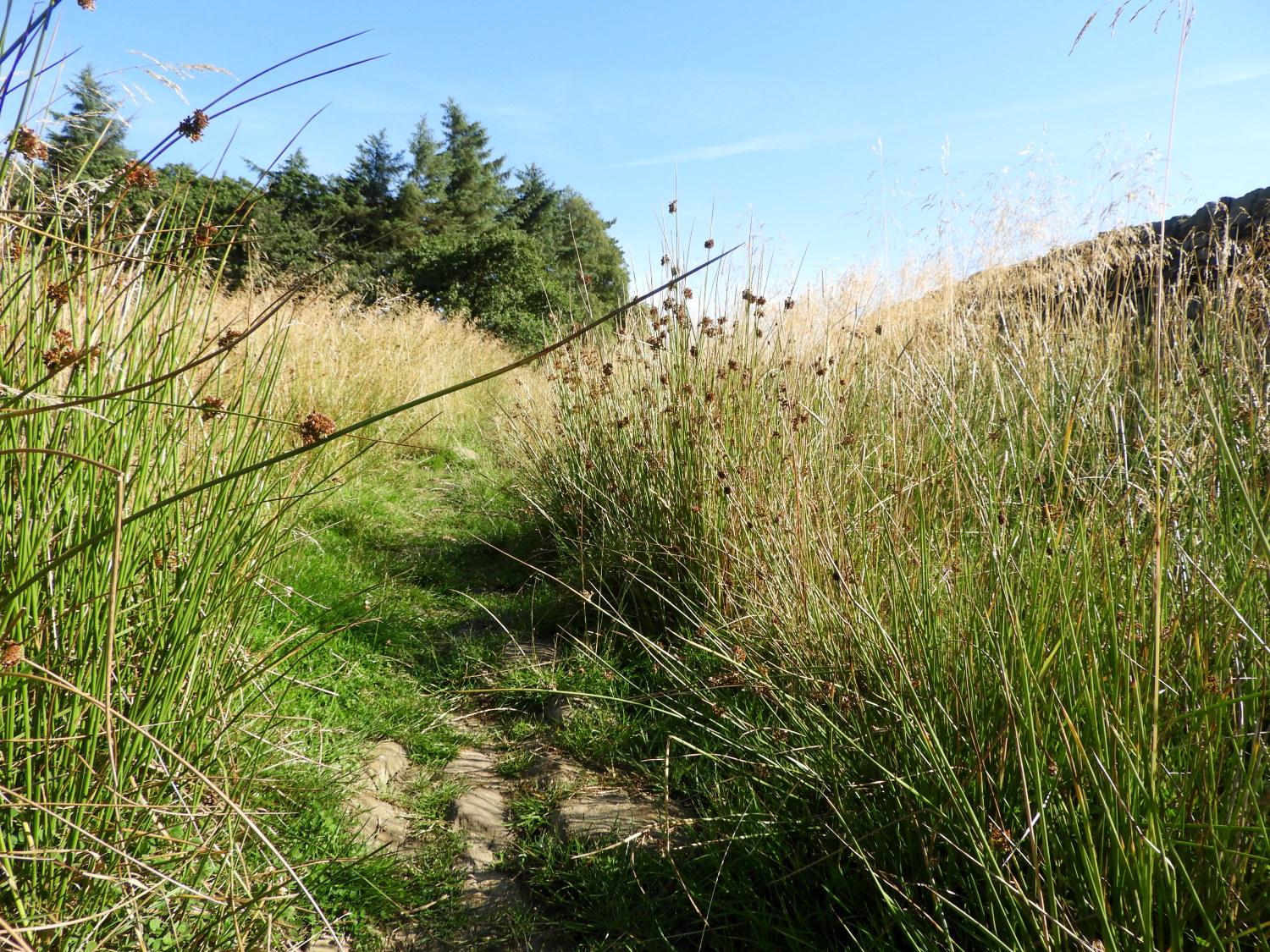 The path to Denton Moor
Climbing on to the moors and out of Wharfedale provided me with remarkable views when I looked back over the valley to the town of Ilkley with its rooftops now clearly in my view. Beyond the town the bulk of Rombalds Moor, of which Ilkley Moor is a mere part, captured my attention. I thought of the walks I have enjoyed up there, a moor with interesting features such as the stone circles, marked stones, ancient cairns and weathered outcrops. Though Askwith Moor and Denton Moor, to which I was now almost upon, did not hold such as many famed places of note, I still looked forward to crossing the more mysterious upland.
 Crossing Denton Moor to Ellarcarr Pike
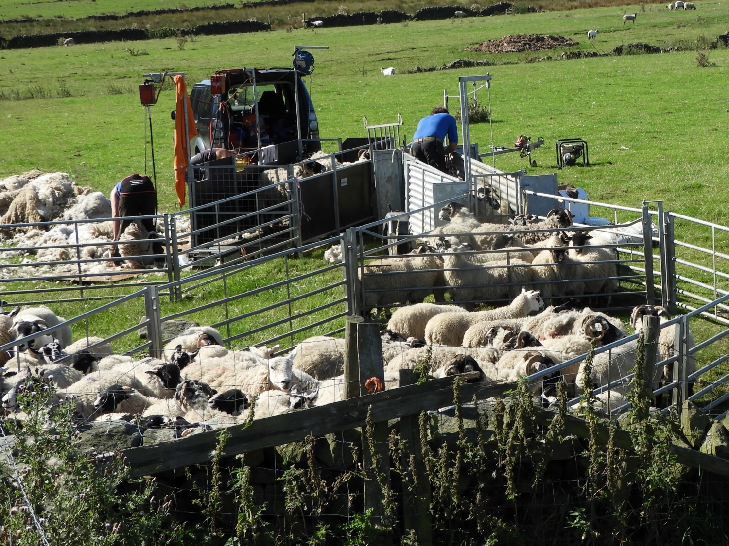 Sheep shearing at High Snowden
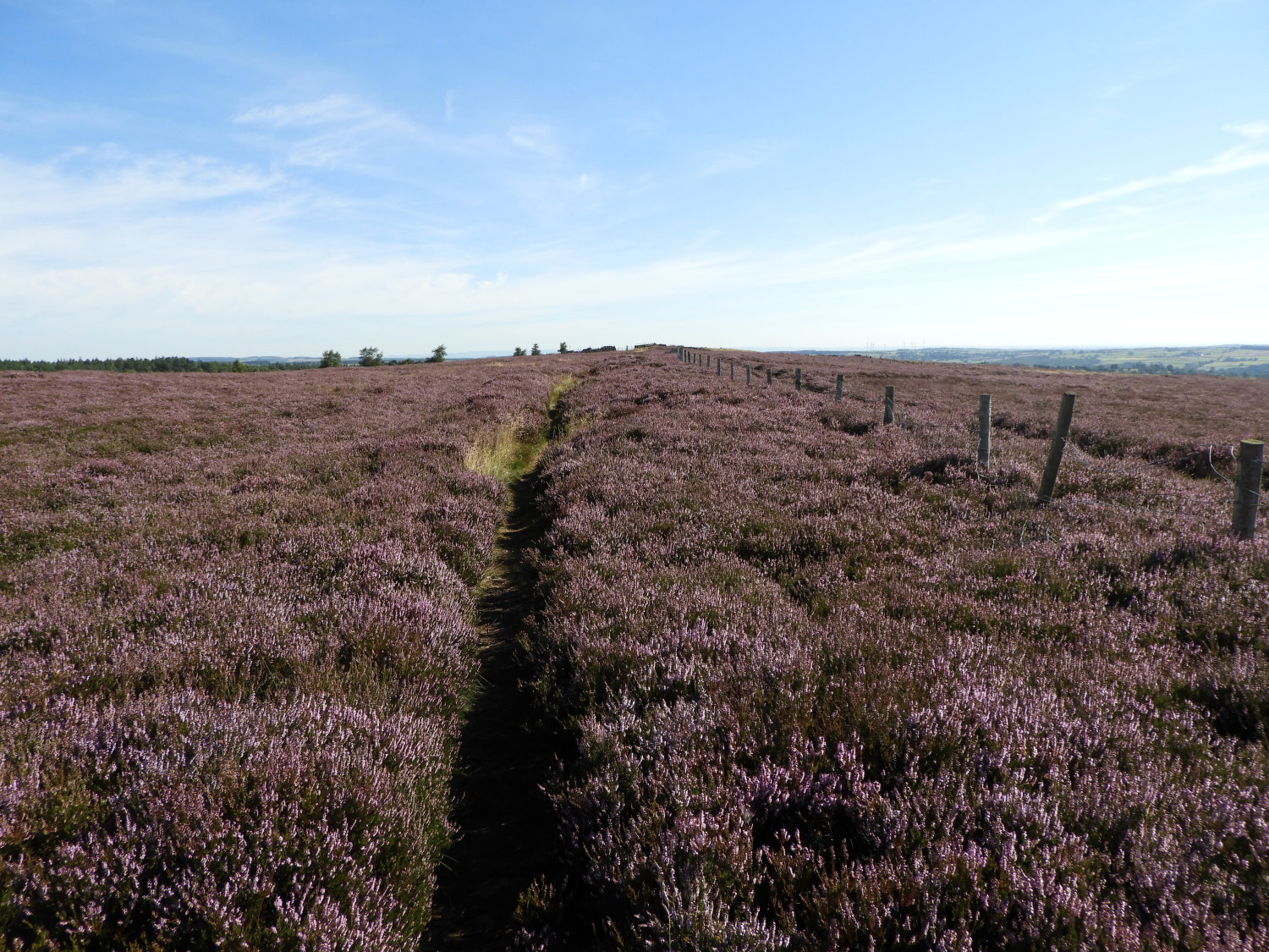
After two and a half miles of walking and a little over 150 metres of climbing I moved from green grassland to purple heather moorland. The change was made in a step and the effect of the change in terrain an immediate spur to the senses. From a predominance of green I was now enshrouded in purple. A complete blanket of uniform colour was thrown before my eyes. There was nothing else but one plant here. In the fields at least areas of nettle and tufts of thistle created a contrast to the dominance of grass but here heather reigned supreme. The feast of colour on the moor dominated my visual attention all the way along my gradual climb to the highest point of my moorland crossing at Ellarcarr Pike. And my smell too, the scent of the blossoming heather was sensually active in the heat of the sun kissed late summer morning. After Ellarcarr Pike though, the dominance of the heather was quickly replaced by the greens of the outlying fields of grass pasture as I crossed farmland to High Snowden.
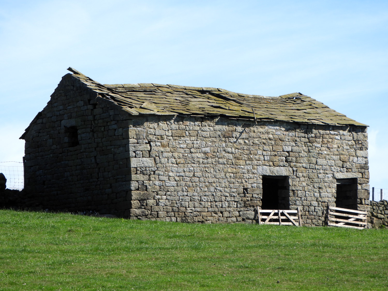 Barn at High Snowden
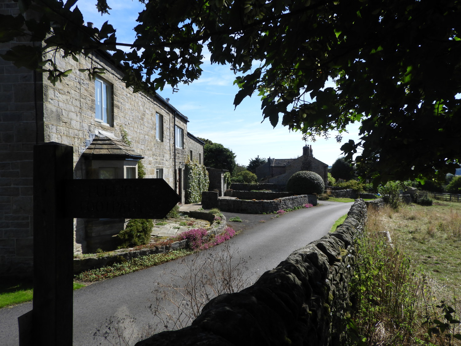 The village of Timble
I was on very familiar ground now, having served some of my happiest years working for Yorkshire Water as an Area Inspector in this very region during the 1980's. My patch was West Harrogate which stretched from the spa town to Otley, Blubberhouses Moor, many villages between Harrogate and Leeds and which incorporated all of the Washburn valley to which I was now heading. First on my continuing walk though, before arriving in the valley, came the upland hamlet of Timble. This extraordinarily beautiful village was another place I served as a water company inspector; I always enjoyed a call out here. This time I came by foot, climbing up a steep couple of fields after crossing over Timble Gill Beck. It was lovely to be back though I did feel a tinge of sadness as I looked at the private house which was once the inviting village inn, one I had enjoyed a drink in on occasions during or at the end of rural walks in these parts.
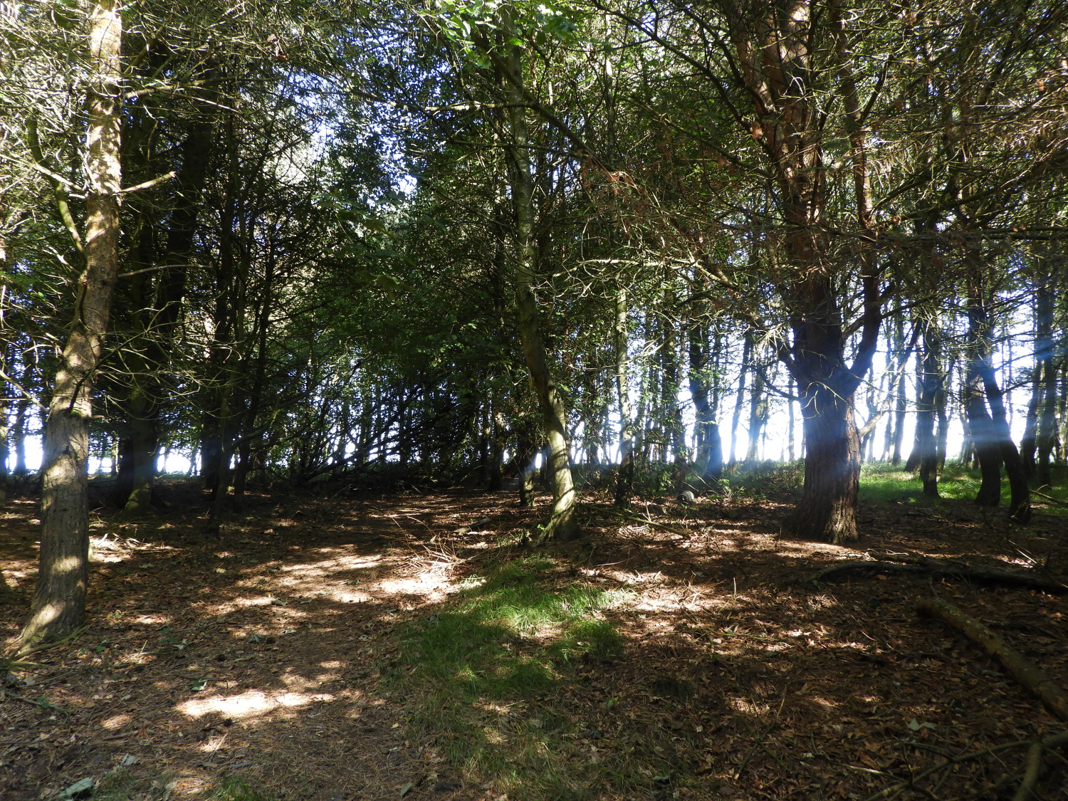
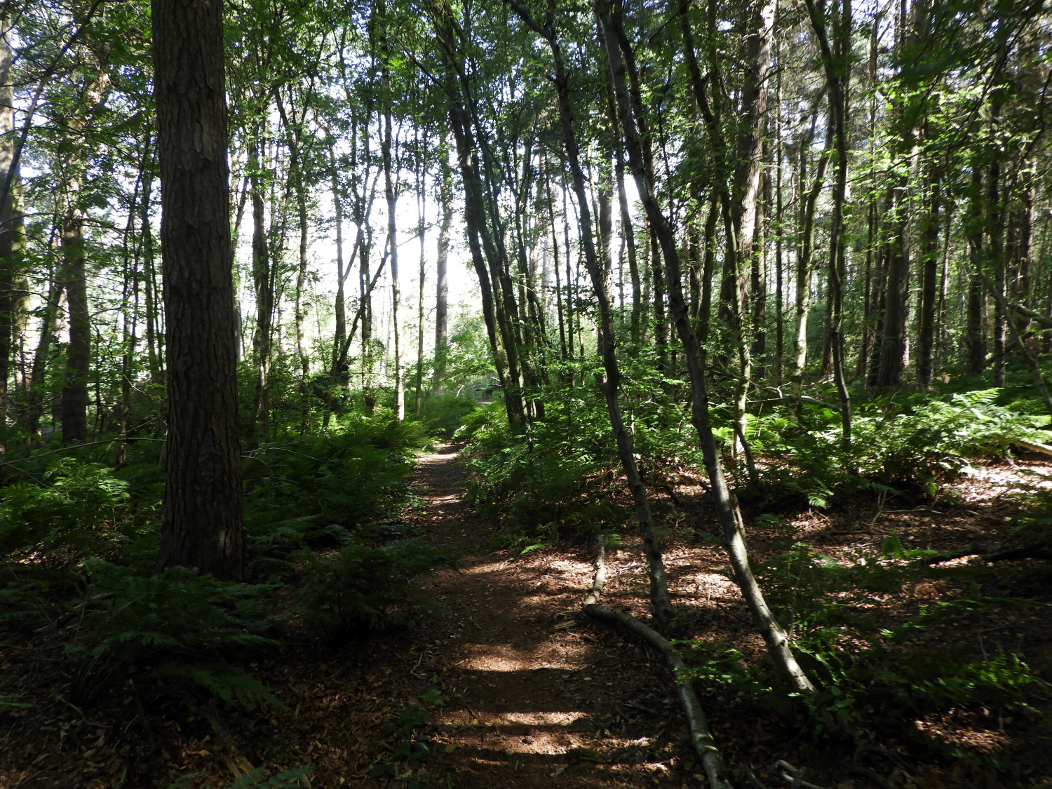 Beecroft Moor Plantation
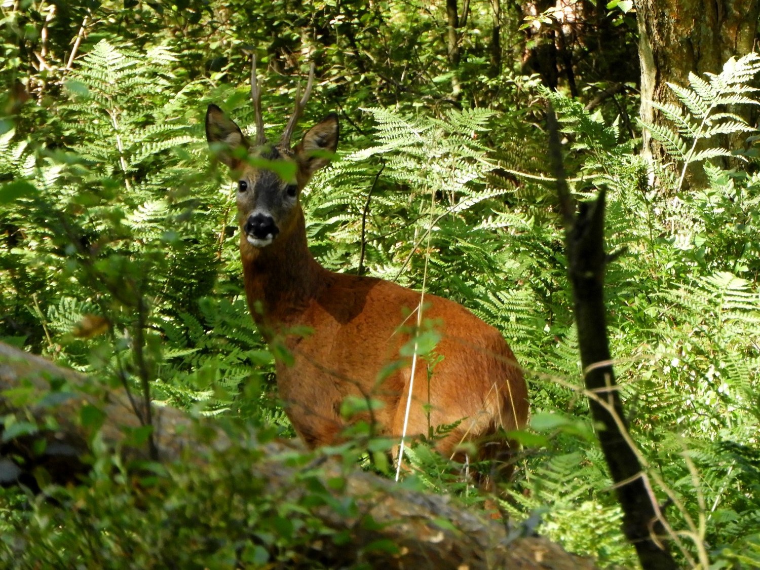 Watching me, watching you
The next stage of the Yorkshire Heritage Way was dominated by the Washburn valley and how the River Washburn had been harnessed to provide the city of Leeds with a reliable water supply. Four reservoirs lie along the route of the River Washburn, from source to the taps of Leeds these being the reservoirs of Thruscross, Fewston, Swinsty and Lindley Wood. A fifth reservoir on the far, south side of the Wharfedale valley, to which the Washburn flows into, completes the route of water from the source of the Washburn into Leeds, this being Eccup reservoir. Anyway, back to the walk. I smiled with a spring in my step as I walked from Timble to Blubberhouses. A mix of open fields, mostly occupied by sheep which curiously watched me as I walked and also filled with Geese which flew off in their honking gaggles if I got too close were part of the course on the way down to Blubberhouses, the other part a walk through the woodland and plantation of Beecroft Moor Plantation. Here, the sheep and geese were replaced by smaller birds such as Chaffinch and Tits singing in the trees and by Roe Deer, creeping in the thick undergrowth. I spotted one looking directly at me as I made my noisy way though the thickets and ferns.
 The way to Blubberhouses
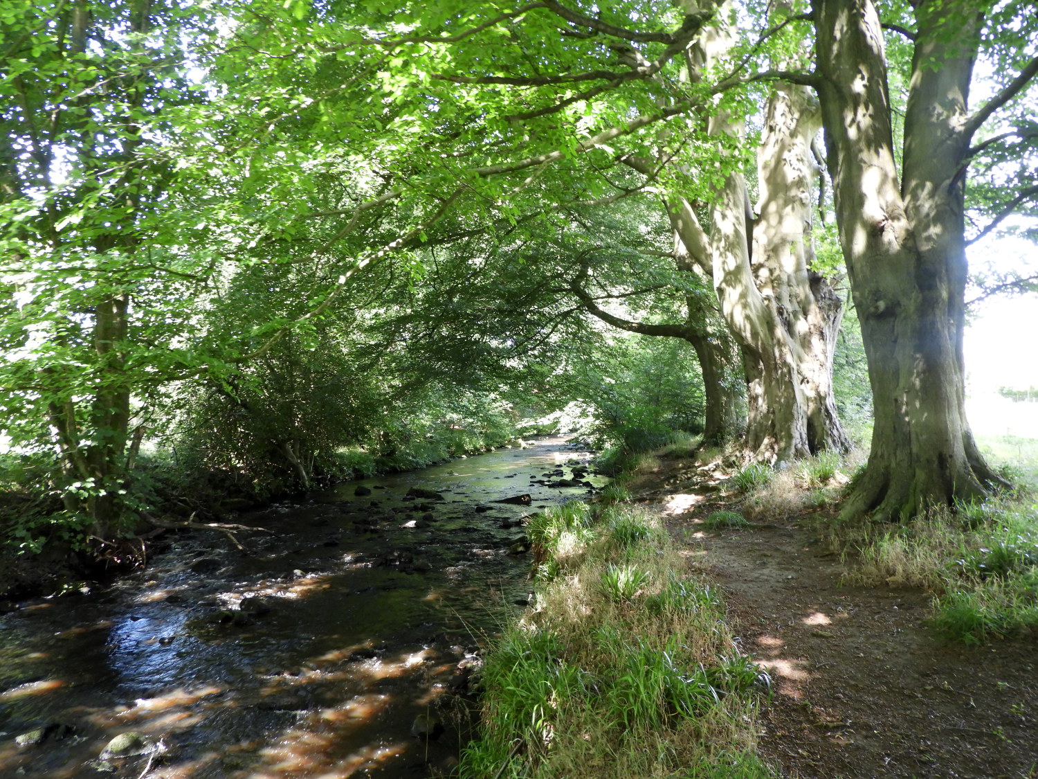 Following the path beside the River Washburn
Once I had passed the popular car park on the inflow side of Fewston Reservoir I carefully crossed the busy A59 Harrogate to Skipton Road which led me to the beautiful and thrilling two miles of walking following the banks of the River Washburn at its most prettiest. If I were to recommend a stretch of the River Washburn for persons to walk then it would be this, the River Washburn between Fewston Reservoir and the dam of Thruscross Reservoir is beguilingly beautiful. I have walked along this very stretch myself quite a few times and I always look forward to it. Though the flow of water is managed by the water company at Thruscross Reservoir it is obliged to keep a minimum flow and so the river always looks very healthy. Wildlife, particularly bird and insect life thrives here. In fact wildlife is encouraged. Make sure to look out for the pond at Low Dam. It is a haven for wildlife, combining wooded slopes, standing water and the river itself. It has some wonderful historical features and is designated as a Site of Importance for Nature Conservation (SINC) due to its richness in flora and fauna. It is very popular with walkers, canoeists and naturalists.
 Thruscross Reservoir
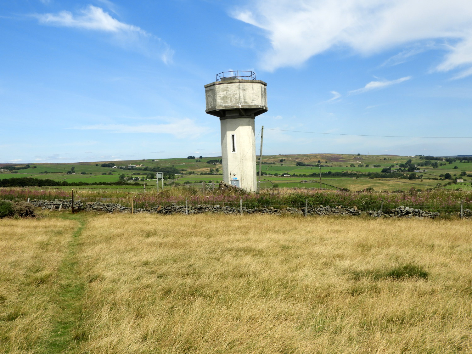 Nearing Padside water tower
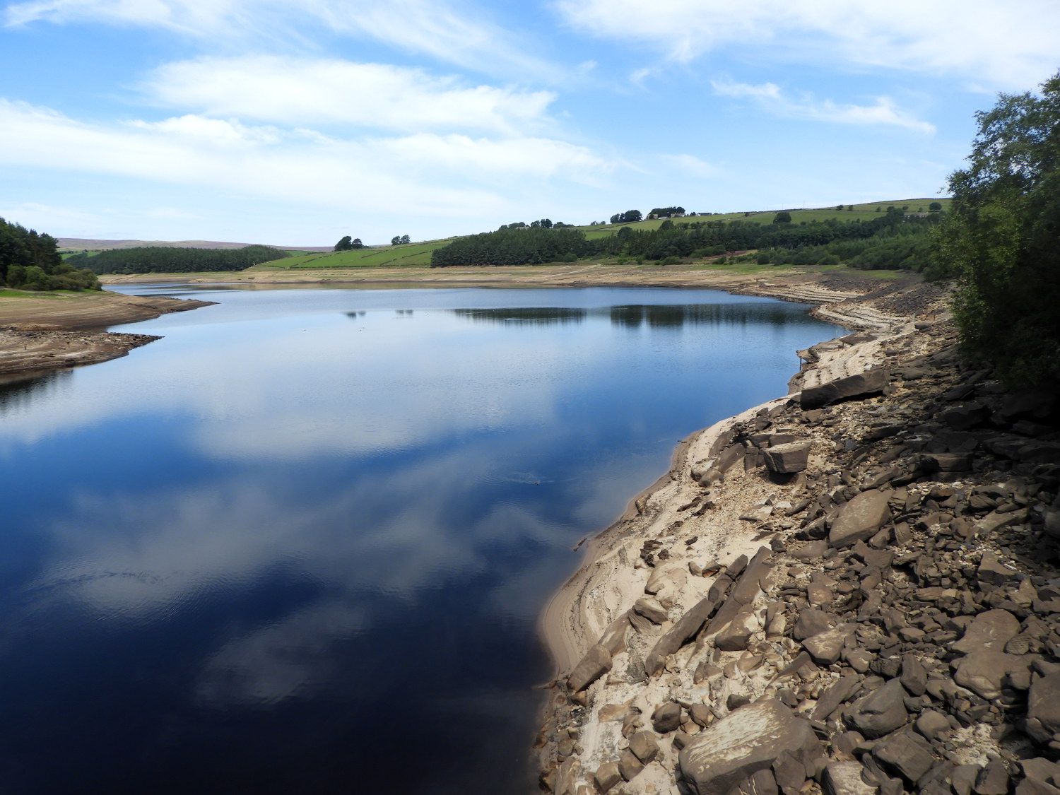
It had been a hot dry summer in 2022 and on reaching Thruscross Reservoir the evidence showed starkly. The level of water in the reservoir was low and as a consequence the lost village of West End, so often hidden under the water level, had showed itself again. I could not see it though, the village is a distance away from the dam wall which I crossed from west to east in order to continue my walk. (see my Rocking Moor, Bramley Head and Thruscross Reservoir to see a building in the lost village).
After crossing the dam I made a tough climb in what was now the hot sun of the day. It was getting towards 25 degrees celcius and I could feel it. Though it was only a sixty metre ascent from the dam crossing to the whitewashed water tower at Padside it was a sweaty affair and I was glad to reach the top. Now all that height I had gained, and a little bit more, was to be lost on the descent to Padside village....
 Through the fields to Padside Green
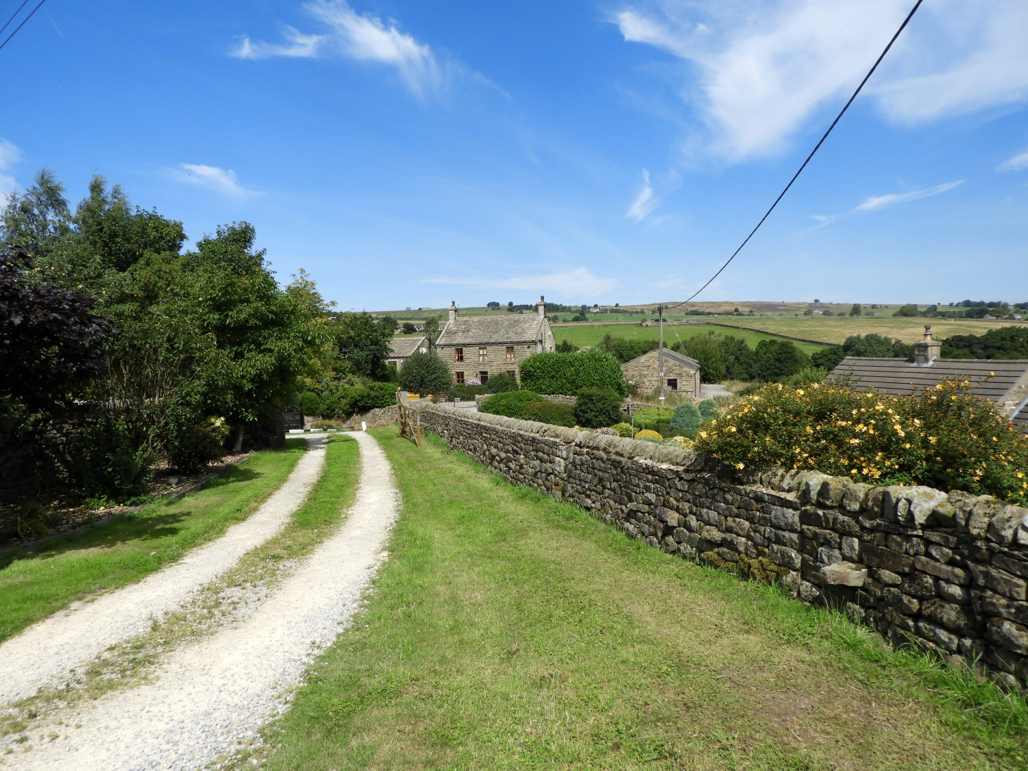 Padside Green
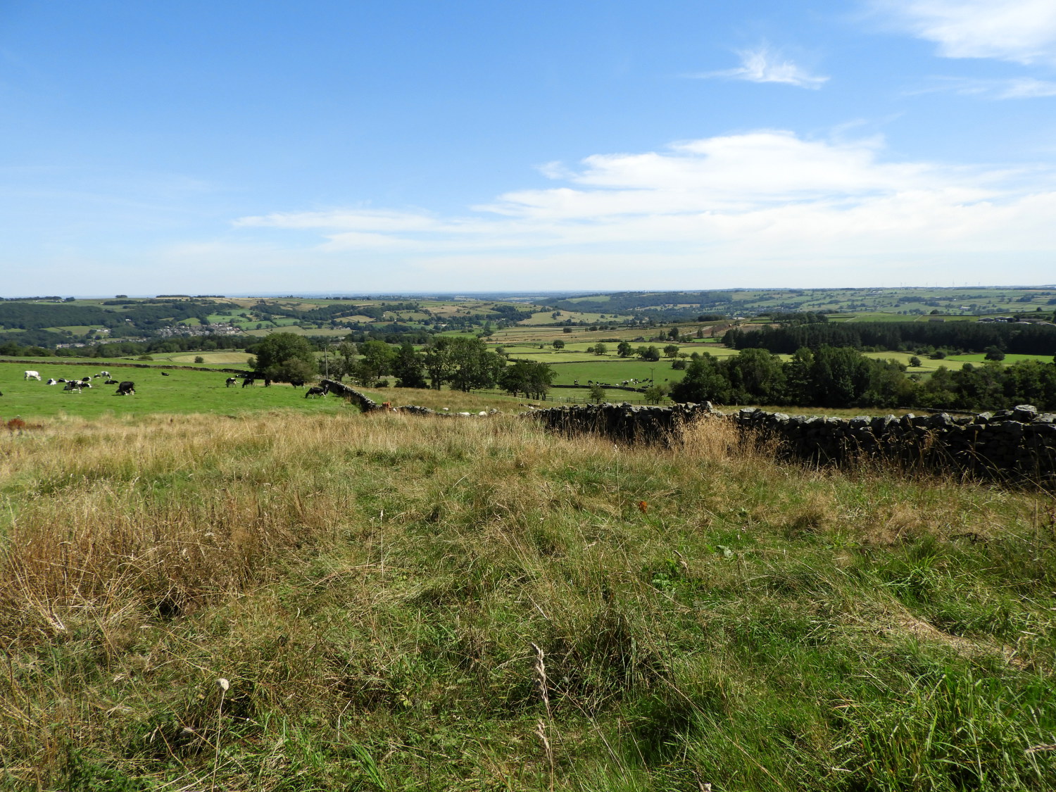
.... which was a thoroughly enjoyable experience. As I descended, on the edge of recently harvested cereal fields, I had the extraordinarily beautiful view of the minor valley carved out by Padside Beck to enjoy and then rising beyond it, the gorgeous patterned fields spread out in the foreground of Heyshaw Moor which marked the high point of today's walk, a touch under 300 metres elevation at Abraham Crags on the edge of Guise Cliff. The highpoint is easy to spot, I simply had to look for the transmitter tower at the exact point to which my walk was set.
 The scene near Heyshaw
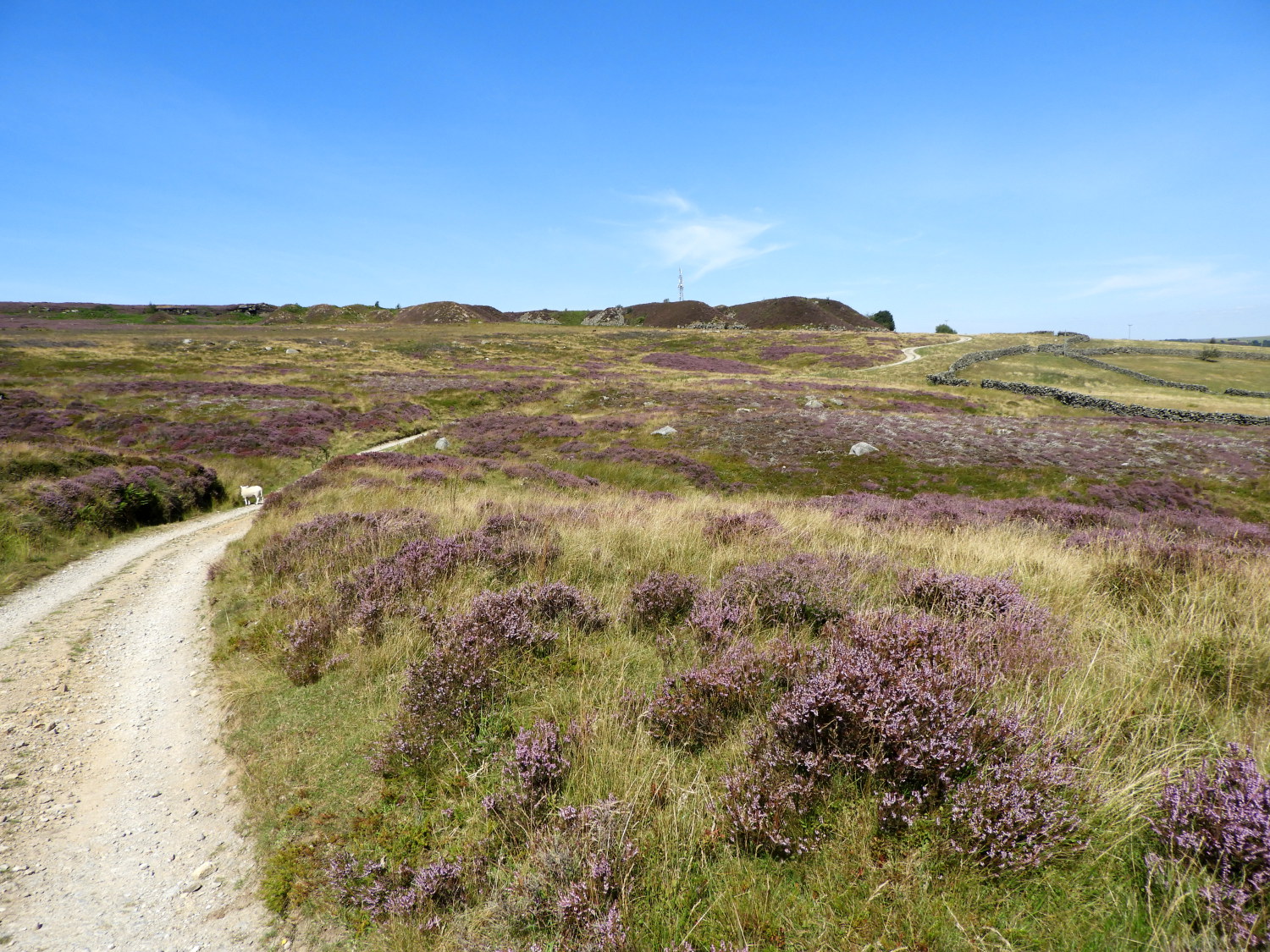 The heather road to Guise Cliff
It was a simply wonderful early afternoon as I gently made my way on the ninety metre climb from Padside Green, via Heyshaw village, to the highest point of my day on Heyshaw Moor. On the way I stopped for a bit of lunch, quietly contemplating the stunning countryside of my neighbourhood and when walking I chatted with the animals and in more serious conversation with locals and other walkers too. This included a tired Tup, who must have had a busy morning, sheltering in the shadow of a wall, a bunch of boisterous horses at Bents House and an excitable friendly terrier with owner out doing the gardening in Heyshaw village. Beyond there green fields gave way to tussocky grass interspersed with blooming heather beside the access road climbing to Guise Cliff.
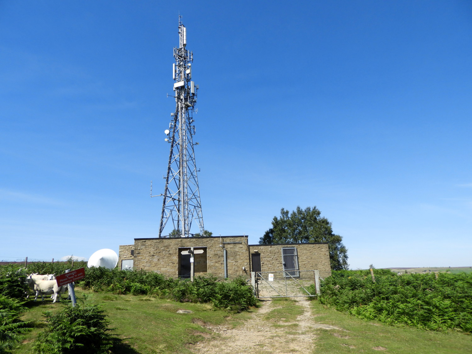 Communications mast near Guise Cliff
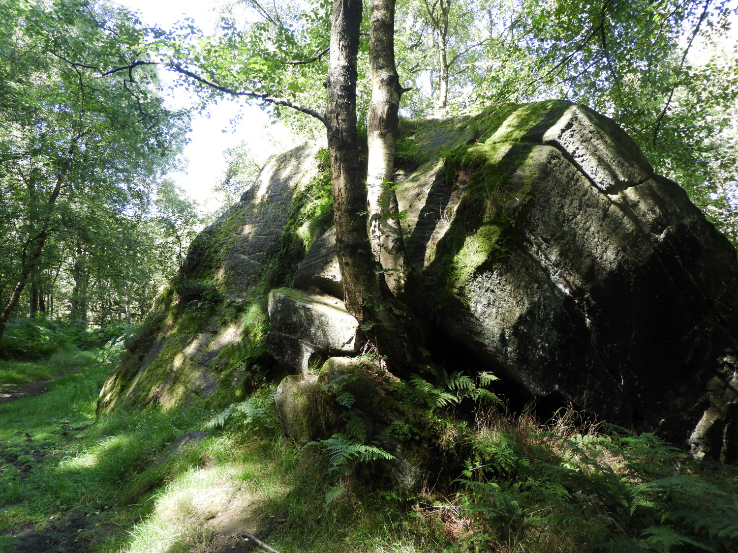 Granite outcrop in Guisecliff Wood
I was sweating with the effort of climbing and a little tired when I arrived at Abraham Crags, thirteen miles (twenty kilometres) into my day. With just under three miles to go, all downhill, I took in the thrilling views which had suddenly appeared of Nidderdale. Directly down in the valley, beyond the green canopy of Guisecliff Wood through which I had to travel, were the rooftops of Low Laithe. My end point of the day. First though I had to get there and so after my short and final break of the day I set myself to the task, descending slowly into the splendid woodland. Guisecliff Wood is full of thrills, including coming across huge granite outcrops set beside the path, and the mysterious beautiful Guisecliff Tarn in the heart of the trees. Emerging at the far north low end of the woodland I met a lady with her two daughters who were seeking the tarn. I helped them by describing the way to it; I do hope they got there okay. For me, it was a now a mission to meet the River Nidd at Glasshouses Bridge.
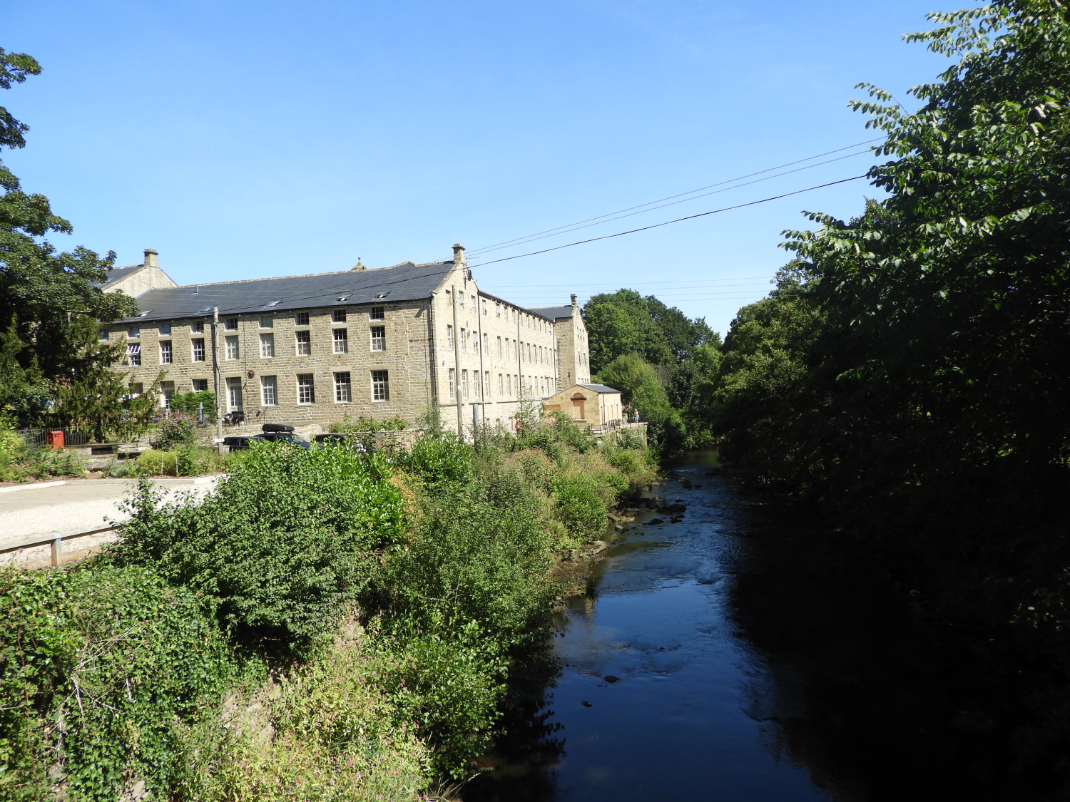 River Nidd at Glasshouses
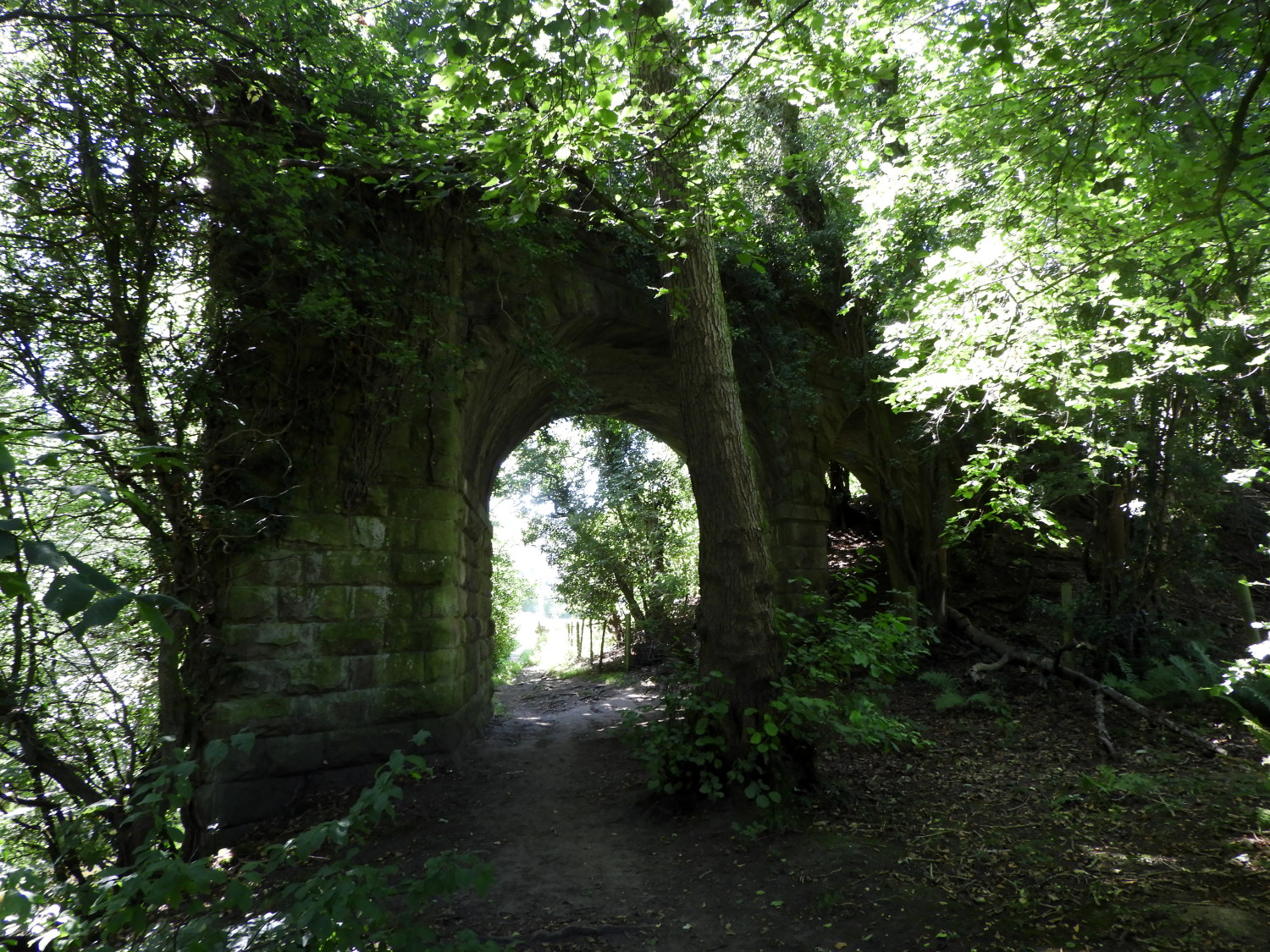 Disused railway arch near Low Laithe
On successfully walking down through Guisecliff Wood I arrived beside the River Nidd at Glasshouses Mill which once served to process corn and now provides housing for those who wish for a quieter life down by the river. I set about my final stage of the walk, following the River Nidd downstream from Glasshouses to Low Laithe, first by walking past the mill buildings and then across a field to join a riverside path, edging close to the north bank of the river. Halfway along this final stretch of part two of my Yorkshire Heritage Way journey I passed under one of the arches of the redundant Nidd Valley Railway. It ran a service for a little over a century, opening a train service on the first day of May in 1862 and closing on the penultimate day of October in 1964. The route of the twelve mile line from Ripley in the east to Pateley Bridge in the west is still obvious on the Ordnance Survey 1:25,000 map and if you look closely, still very obvious on the ground too. Sixty years after the last train tooted along the line. Anyway, soon after passing under the redundant rail bridge I arrived in Low Laithe. Part two of three on my Yorkshire Heritage Way was done. As with the first stage, it was a cracker. The beautiful weather helped of course, but this scenery in any conditions would have left me smiling. What a gorgeous walk this is. Roll on tomorrow.


