Yorkshire Heritage Way
A personal record of my walk of the Yorkshire Heritage Way with a written journal and with photographs. Tracklogs for GPS units and for use with Google Earth are available for download for each stage.
Journal, Photographs and Download Files
Stage 03: Low Laithe to Ripon
Google Maps Open Source Maps| Statistics and Files | ||
|---|---|---|
| Start: Low Laithe | Finish: Ripon | Distance: 13.0 miles (21.0 km) |
| Time: 5-7 hours | Climbing: 216 metres | Rating: Moderate |
| GPX Route File | Google Earth File | About Ripon |
| Statistics | |
|---|---|
| Start: Low Laithe | Finish: Ripon |
| Distance: 13.0 miles (21.0 km) | Time: 5-7 hours |
| Climbing: 216 metres | Rating: Moderate |
| GPX Route File | Google Earth File |
Ordnance Survey Explorer Map (1:25,000)
297 Lower Wharfedale and Washburn Valley
298 Nidderdale
299 Ripon, Boroughbridge and Easingwold
The Walk:
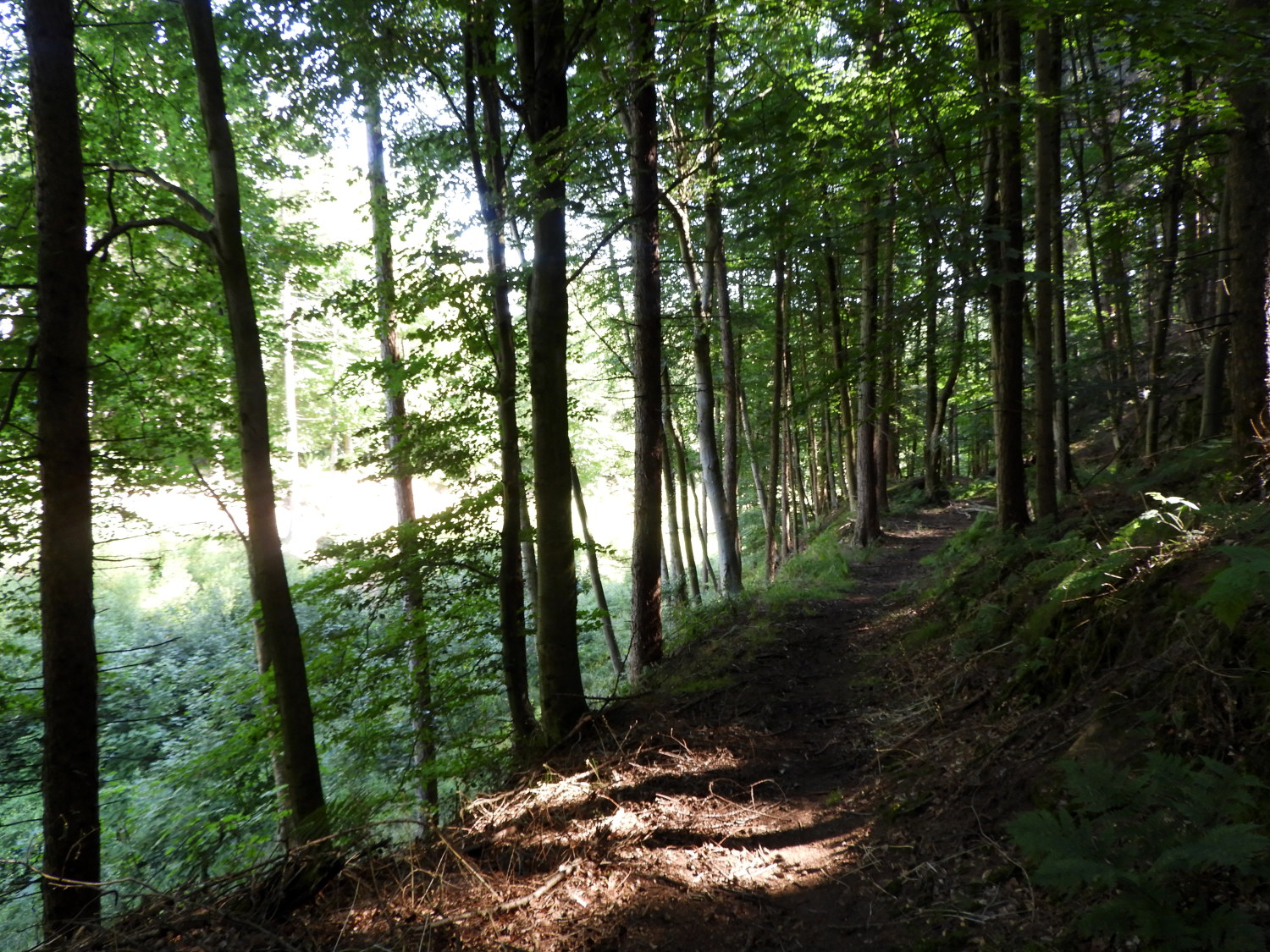
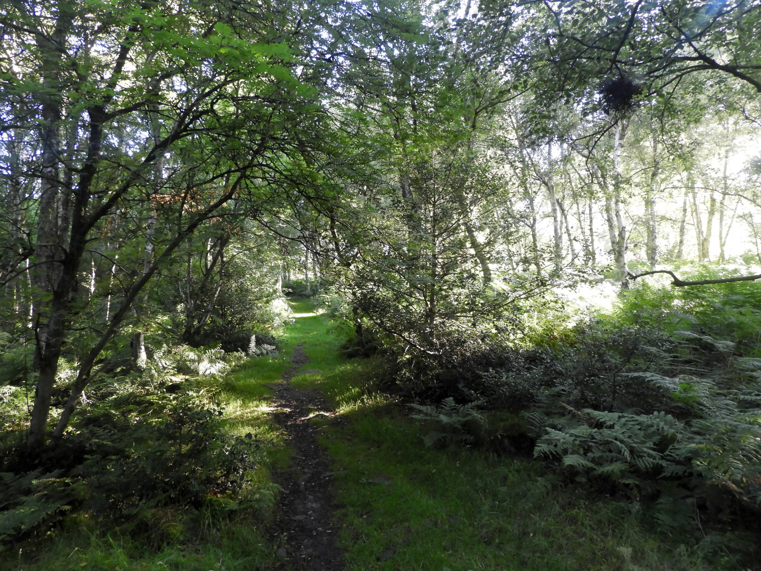 Smelthouses Wood
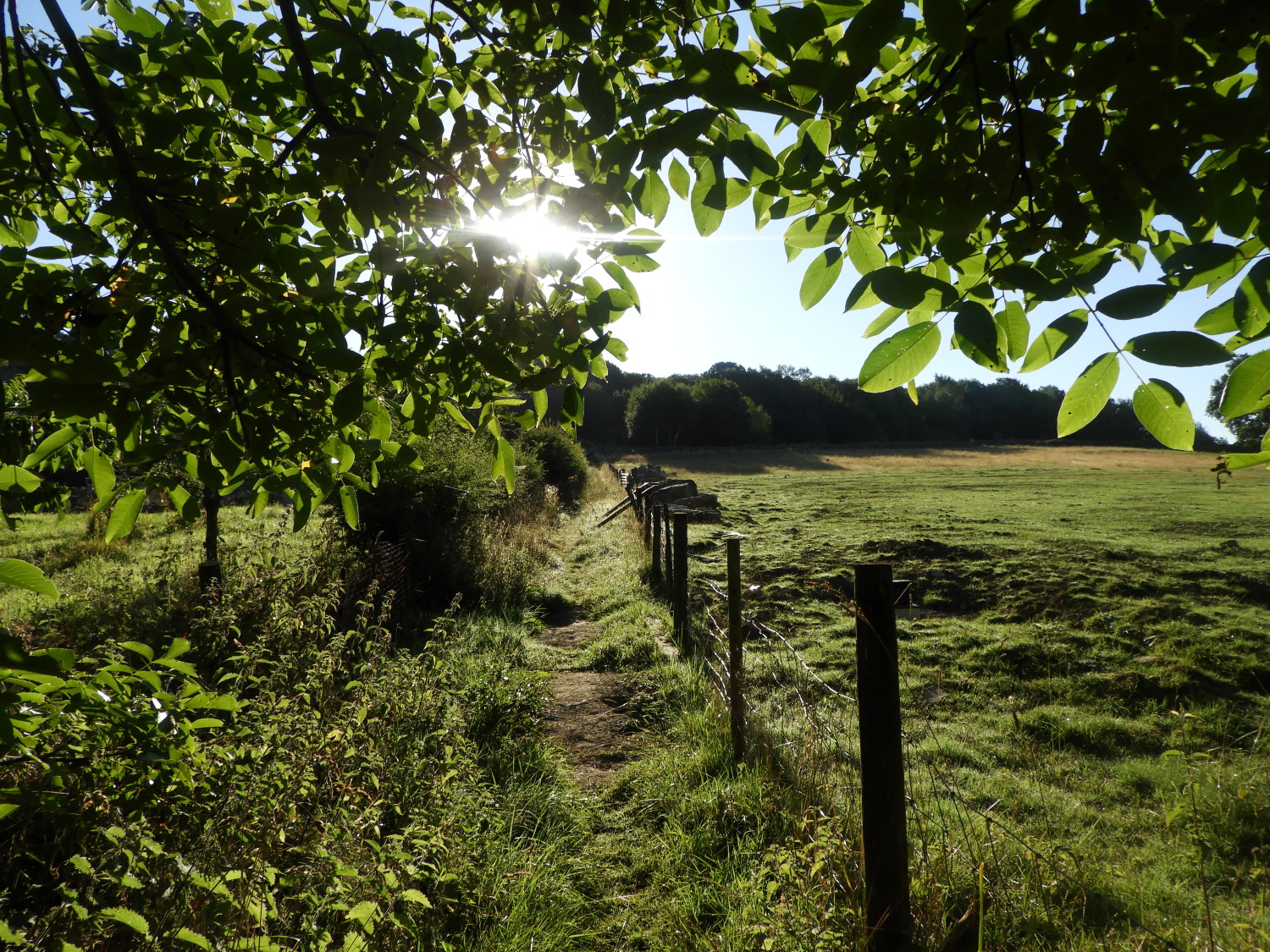 Climbing to High Wood
The third beautiful day in a row; I was so lucky. Setting off on my thirteen mile walk to Ripon I was smiling from the start and whistling my way up the road which led from my starting point beside the B6165 road at Low Laithe to the village of Smelthouses. Soon enough, I was walking through Smelthouses Wood, a place of character with evidence of an industrial past. Dating back to medieval times, the church utilised this woodland and by the middle of the 15th century the monks of Fountains Abbey, to where I was heading later on today, had a bellows-blown lead smelting mill there. Though evidence of their work is hidden, more obvious are later improvements, such as old smelting sheds still standing beside Fell Beck which runs through the heart of the wood. Also within the trees is a disused quarry which was used for stone to build the houses of Smelthouses and surrounding neighbourhood.
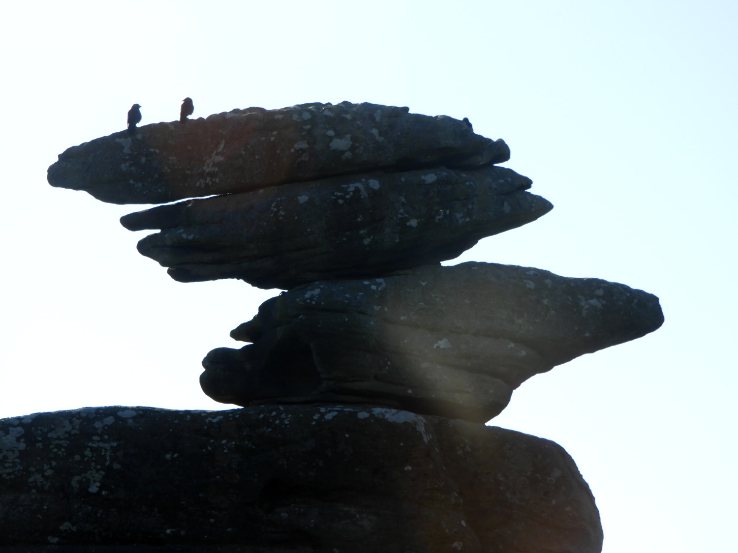 Early birds on Brimham Rocks
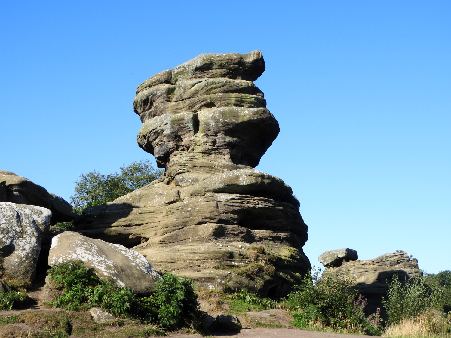 A thoughtful outcrop at Brimham Rocks
From Smelthouses Wood emerged into sunshine by a field side path leading up to High Wood and Brimham Moor beyond. I was already halfway through my only notable climb of the day, from a starting point at 108 metres towards the peak of 291 metres at Brimham Rocks. I was happy in the fact I would get the climbing out of the way before the rise in heat of the sun-kissed day. And even better, with the sun up from the very first step of the day, I was sheltered by woodland most of the way on the climb; Smelthouses Wood, High Wood and Brimham Moor Wood helping to keep the temperature in my immediate surroundings down. I arrived at the iconic site of Brimham Rocks remarkably fresh and in really good heart. Especially as there was just me, one or two early morning dog walkers and the crows which were squawking loudly from the tops of several Brimham Rocks. I ambled through the site, marvelling as I always do, at the weirdly formed shapes cut into the rocks.
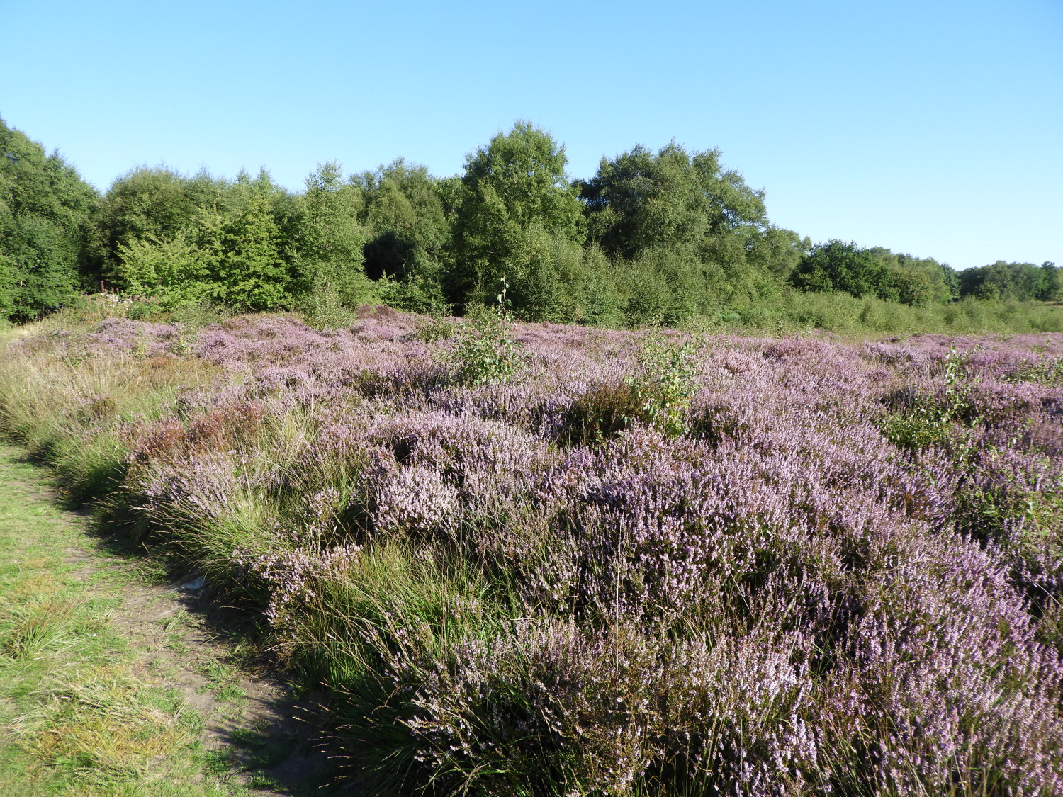 Purple heather blossom on Brimham Moor
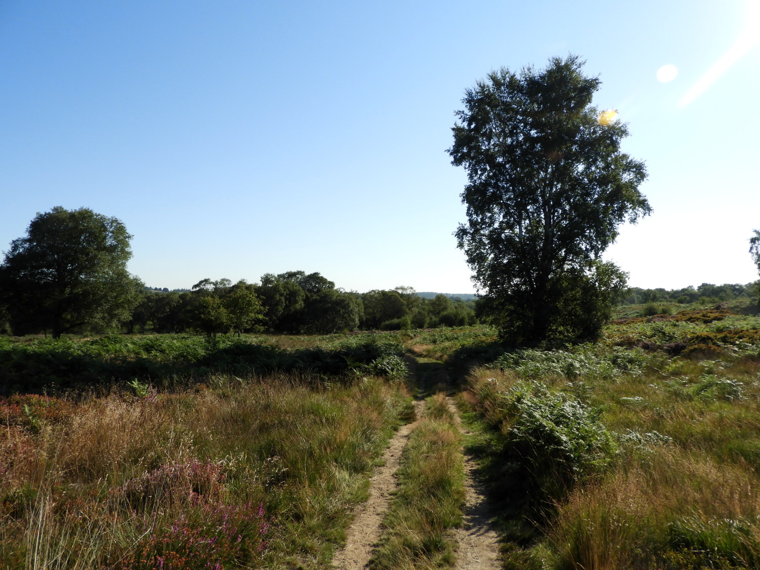 Scratchard Corner
From Brimham Rocks I crossed the moor road to follow the Nidderdale Way footpath across the moor in an east direction to Riva Hill. On the way I met with one of the early morning dog walkers, a lady accompanied by two lively and very friendly Springer Spaniels. We agreed it was a lovely morning for a walk. Carrying on, I passed Scratchard Corner and on my way past Riva Hill came to first, a huge pile of spent vehicle tyres holding down a massive black tarpaulin covering I don't know what and second, a large inquisitive herd of Holstein's. The closest of them sniffed the air as I walked past. Cows often do in my company, deciding whether I am friend, foe or an in-between nothing to worry about.
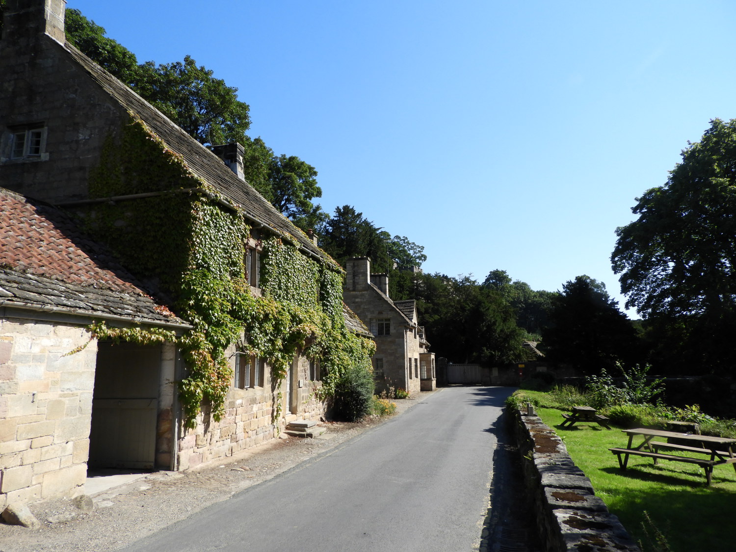
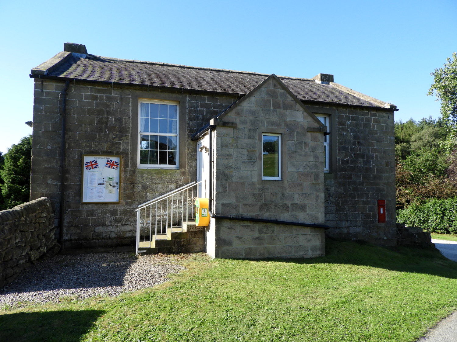 Warsill Parish Room
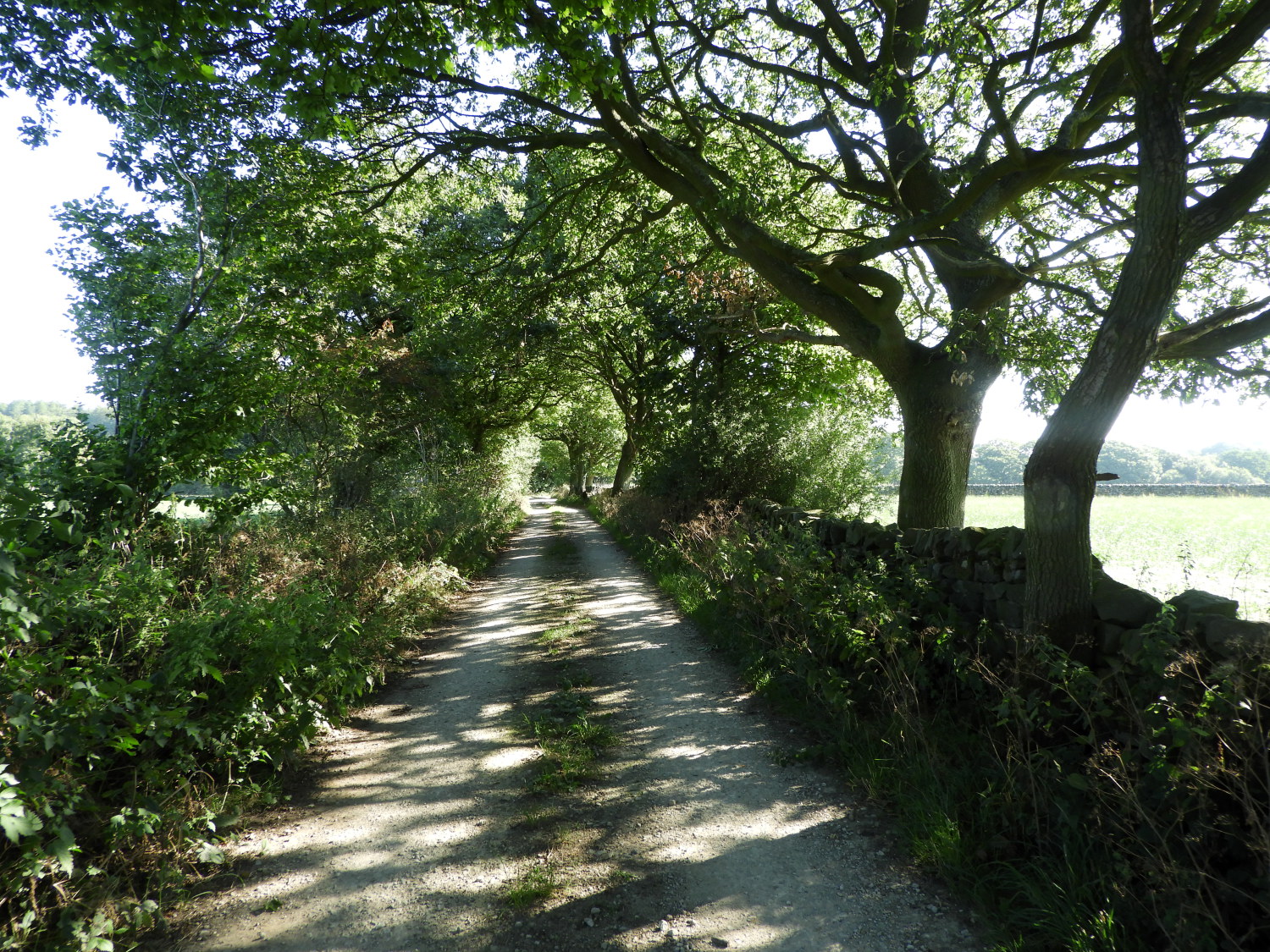 A long straight leafy lane
Continuing on, I followed a vehicle free country lane to the hamlet of Warsill which I could have detoured to without adding any distance to my walk. But I stuck to the official route, just passing by the modest building of Warsill Parish Room instead. My way led me on a farms approach road, soon turning from tarmac to unmade and soon after I walked through the yard of Low Farm and then over a couple of fields to Rabbit Hill Farm. Here, as directed, I turned left but I soon wished I had turned right. Two, equal length alternatives led to Warsill Hall Farm, the official one leading into a field where some over excited Holstein male calves were stationed. They corralled the stile which I would have to cross to get into the field and despite my request for access they were clearly intent on bothering me. So rather than play their game I turned back to Rabbit Hill Farm and took the alternative right hand route to Warsill Hall Farm. Which I managed in complete peace and quiet.
 Through the woods at Butterton Bridge
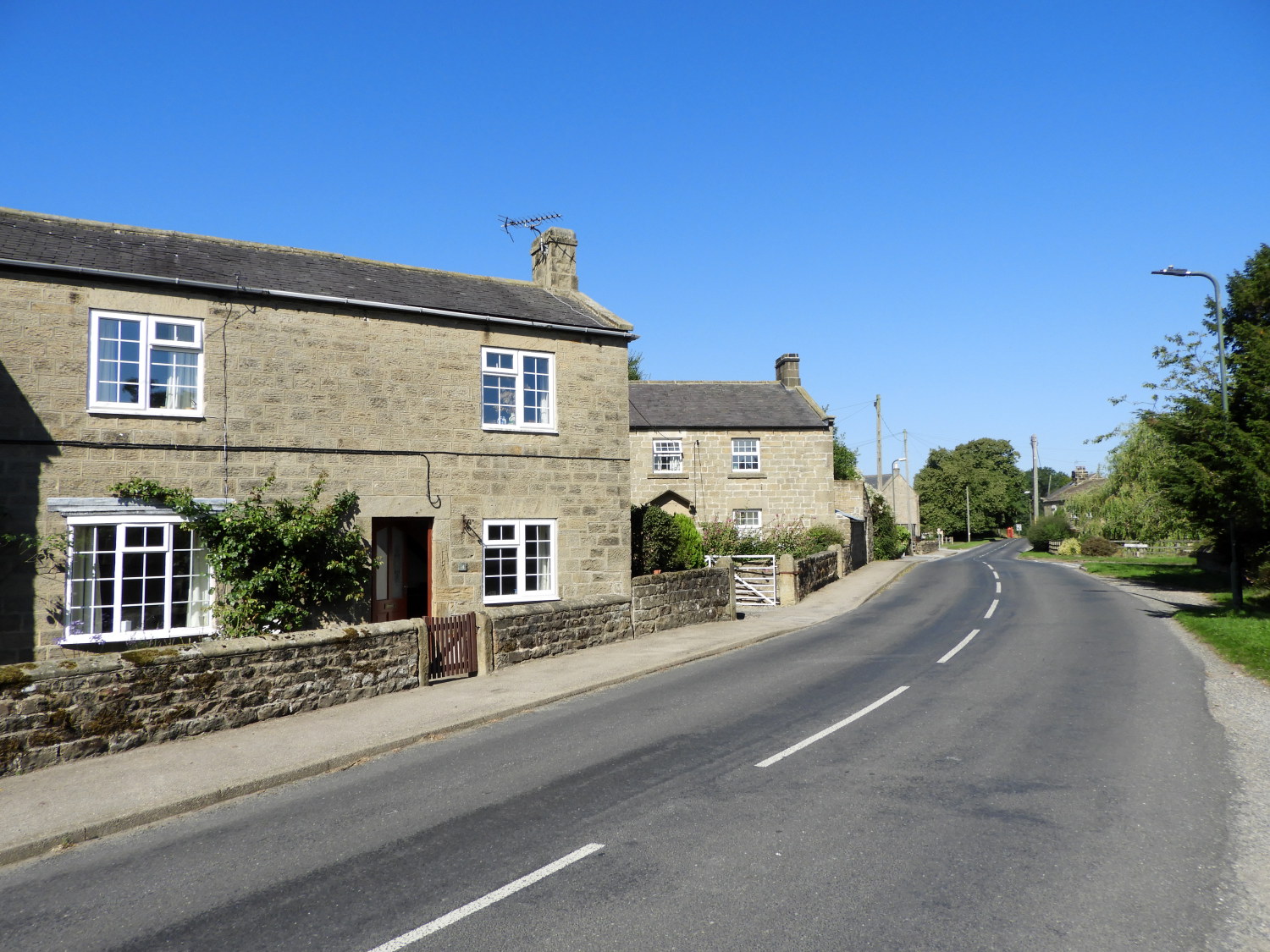 The village of Sawley
Halfway through my walk now, and still only in mid-morning I slowed and ambled the next few miles to a stand of woodland at Butterton Bridge and on towards the village of Sawley. On this two mile section I walked from field to field, about ten in all, of various sizes and shapes. Some were occupied by sheep and one, near to Lacon Hall by cows which this time kept their distance. Also, on the way between Butterton Bridge and Lacon Hall I passed the Lacon Cross, an upright stone placed in the middle of a field. Probably more of the doing of the monks of Fountain's Abbey. As a route waymark before our modern roads and rights of way. In Sawley I looked for a shop to no avail. Had one been there and been open I would have stopped my tracks for a short while to sit, mull about nothing and have a drink. Instead I just kept on going.
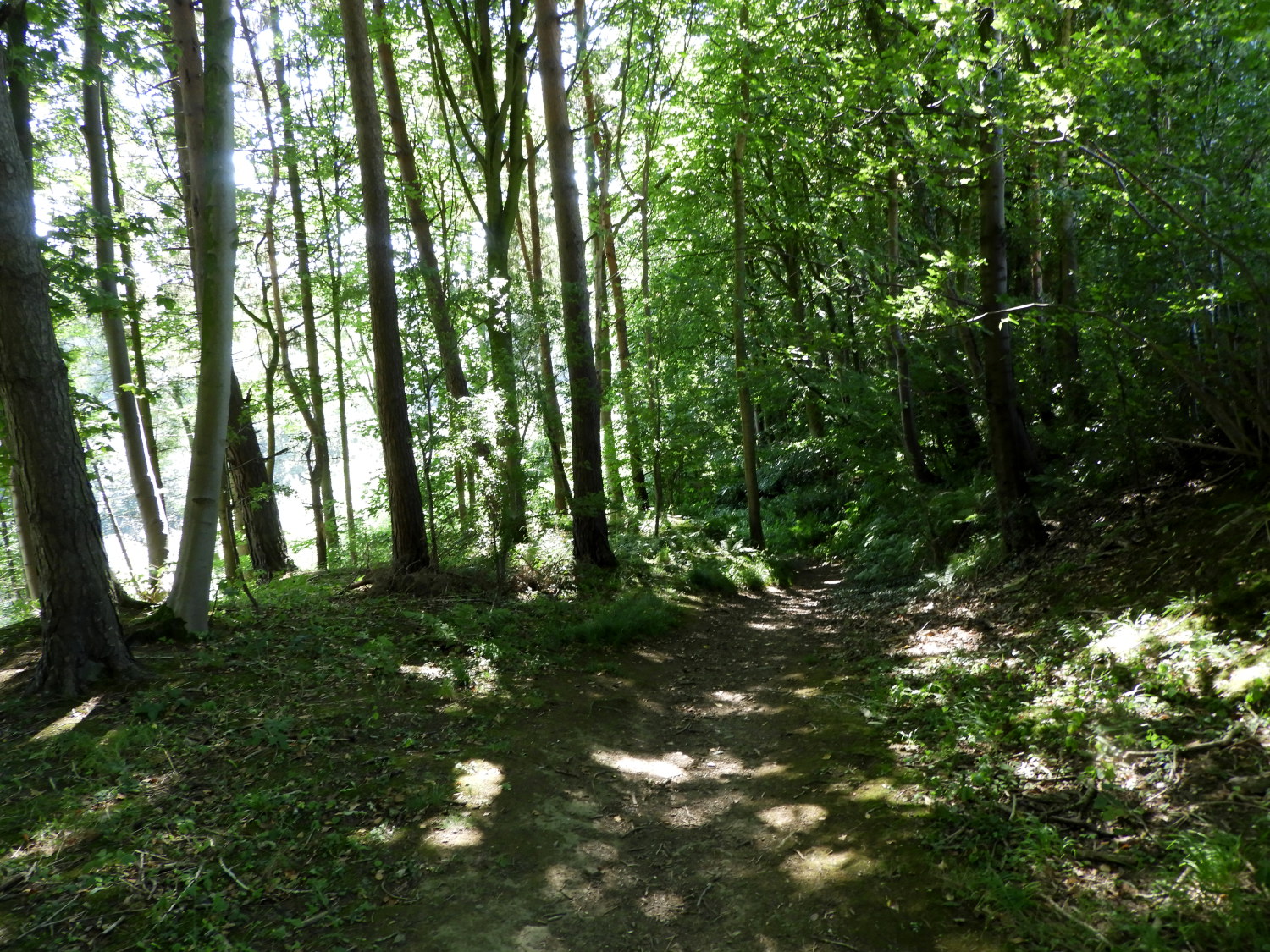 Spring Wood
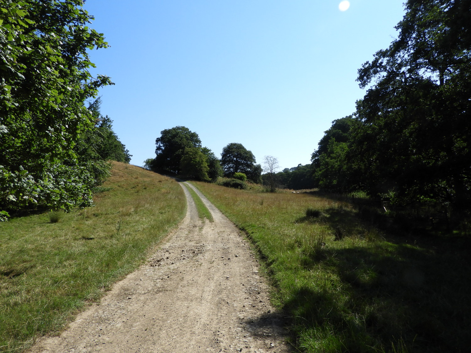 The path leading to Fountains Abbey
Onward from Sawley I followed the quiet road leading from the village in an eastwards direction towards Fountain's Abbey. On the route, near Hog Hall, I had fun with a black cat which not only crossed my path but then decided to follow me. As I paced on ahead it followed on behind; only stopping when I turned to tell it to go home. Three times this happened before it decided that attention and a meal would best be gained by going back to its folks at home. It was fun while I had the attention though. A short while after my feline friend left I left the road to follow a path through Spring Wood, yet another legacy of the work of the monks of Fountain's Abbey. The sound of forester's mechanical saws maintaining the woodland was all around as I passed through the woodland leading towards Fountain's Abbey itself.
 Fountains Bridge
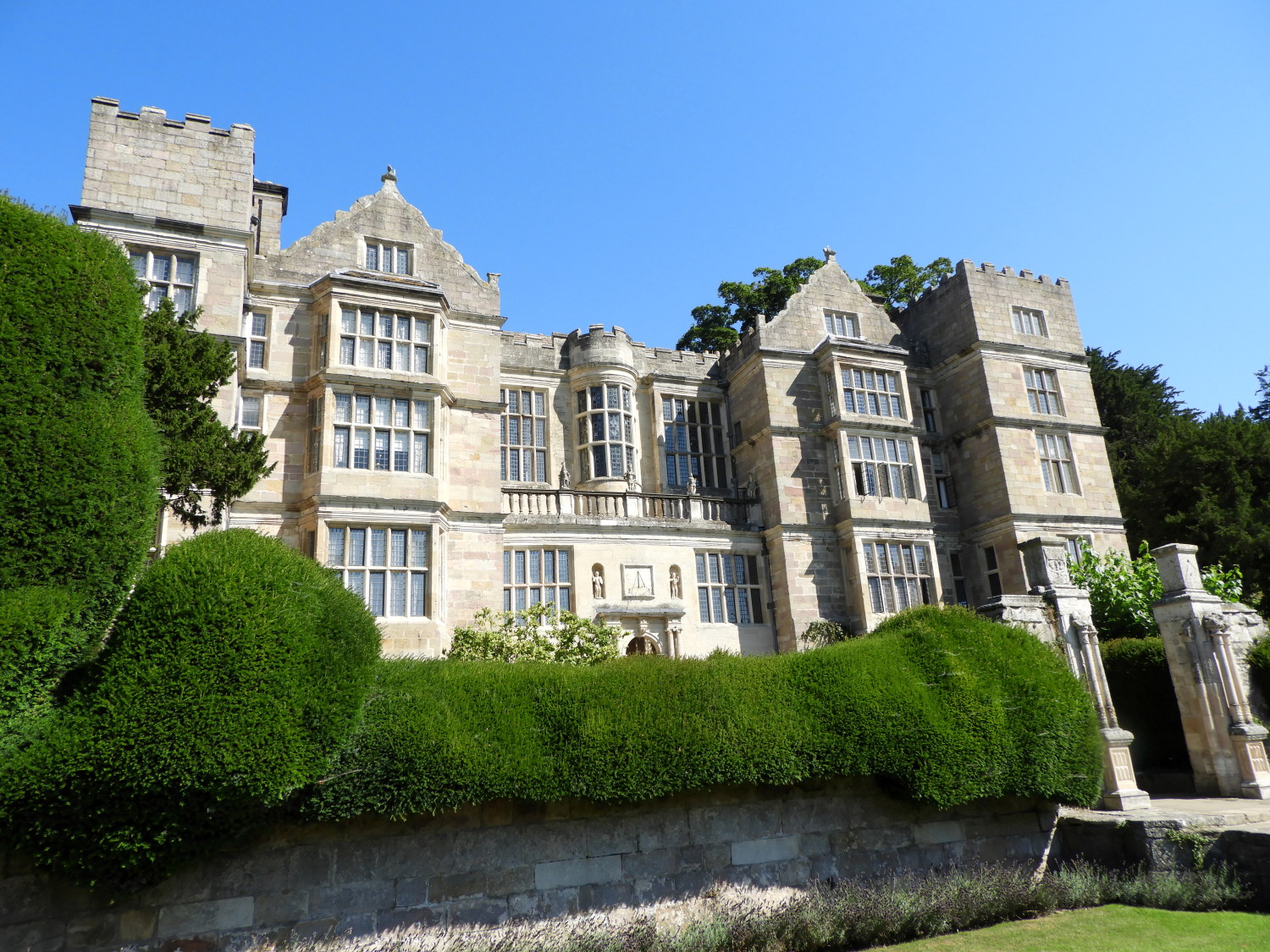 Fountains Hall
Once I had left the woodland behind I followed a short rising track to meet the tarmac road leading down to Fountains Bridge. Which is a stunningly beautiful place. A few pristine stone cottages line the road near the bridge, close to the old entrance gate to the grounds of Fountain's Abbey. As I arrived so did a few others but they had travelled by car in order to spend the day at Fountain's Abbey. But the gate managed by the National Trust was locked. Despite my walking eight and a half miles I had still arrived too early to continue. It was ten minutes before opening so I sat on the bridge wall until precisely eleven o'clock when the gates were opened. The few who had assembled in queue beckoned me to the front, knowing I had the spring in my step to keep going on my way.
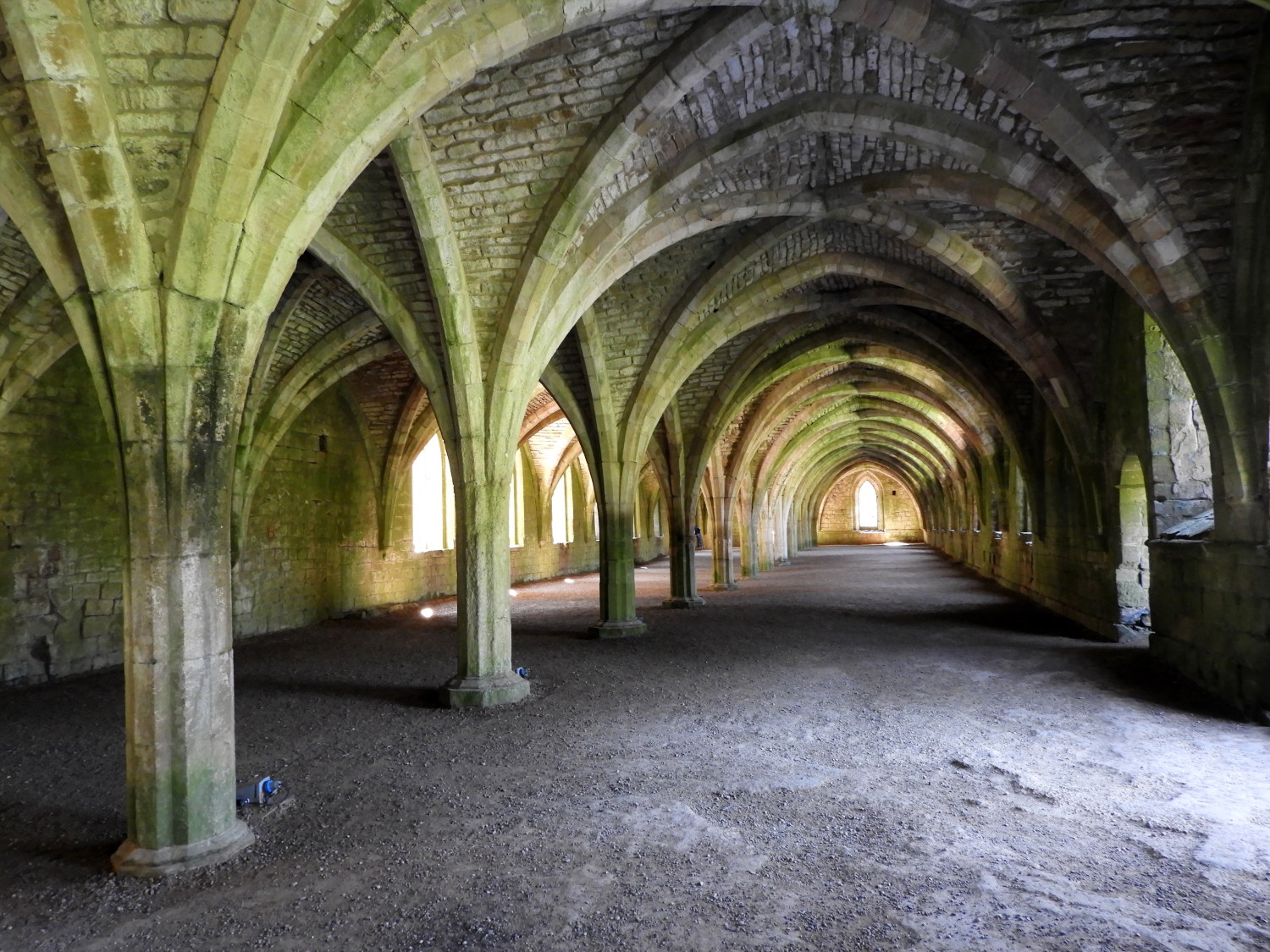 The Great Cloister, Fountains Abbey
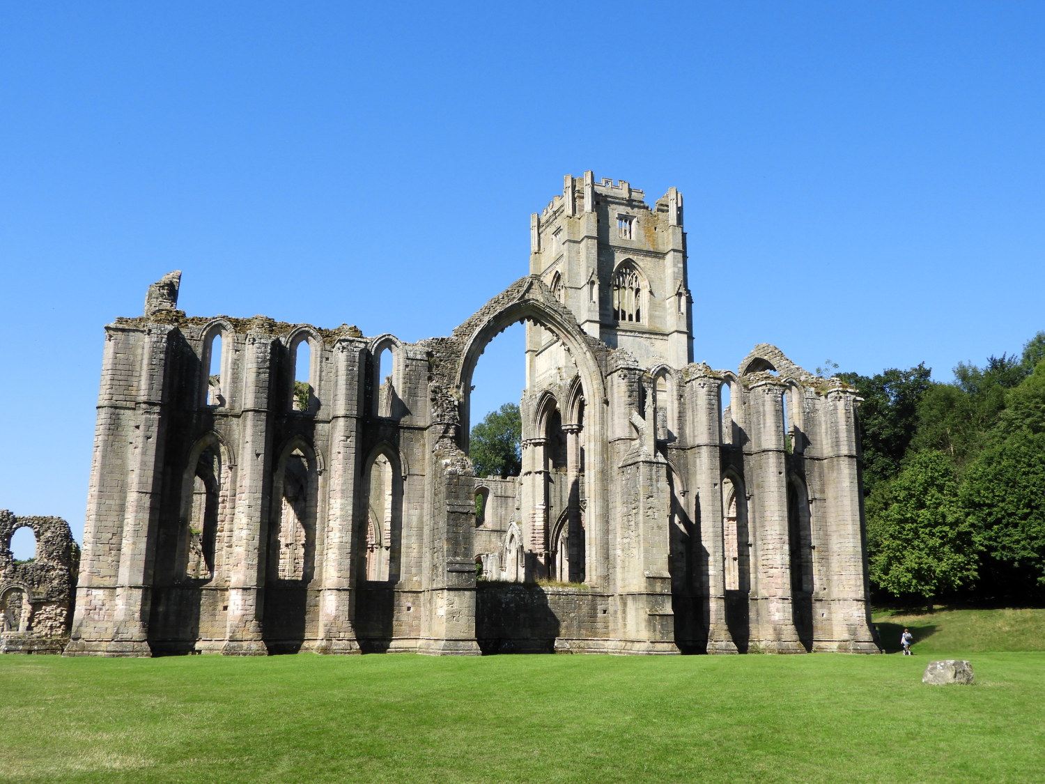 Fountains Abbey
Marching on, I spent five minutes on a whistle-stop look around Fountain's Hall before continuing to the famous abbey itself which I accessed via the Great Cloister and which I exited via the Nave and the Great Hall. The building, despite the wanton vandalism of Henry VIII's wreckers, remains a magnificent sight. I kept looking back to admire it as I walked away in the direction of Studley Royal Park.
 Studley Park Water Garden
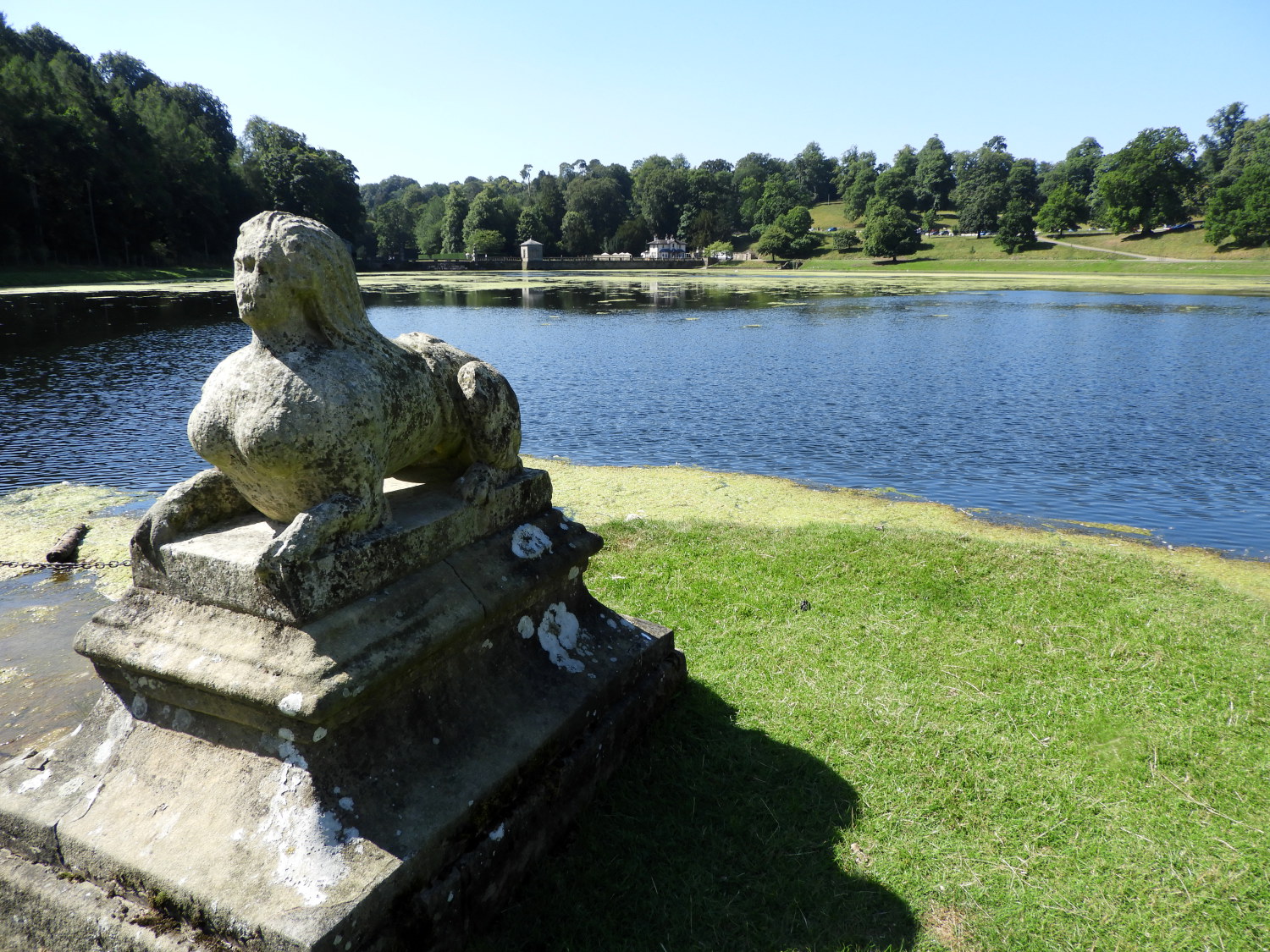 The Lake, Studley Park
The water garden, designed and created by John Aislabie is one of the finest Georgian water gardens in Britain. My wife loves visiting, as do I, and as we are members of the National Trust I detoured this walk through it. Note, my gpx route file shows the official Yorkshire Heritage Way route, avoiding the paid part. But if you can do it the way I have, I fully recommend you do.
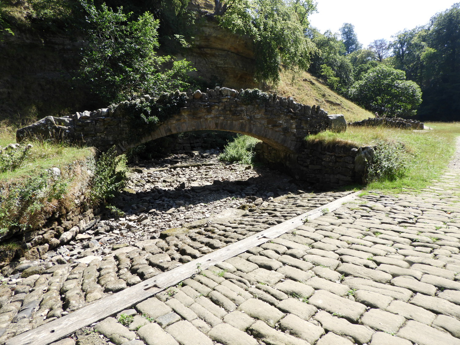 The dry bed of the River Skell
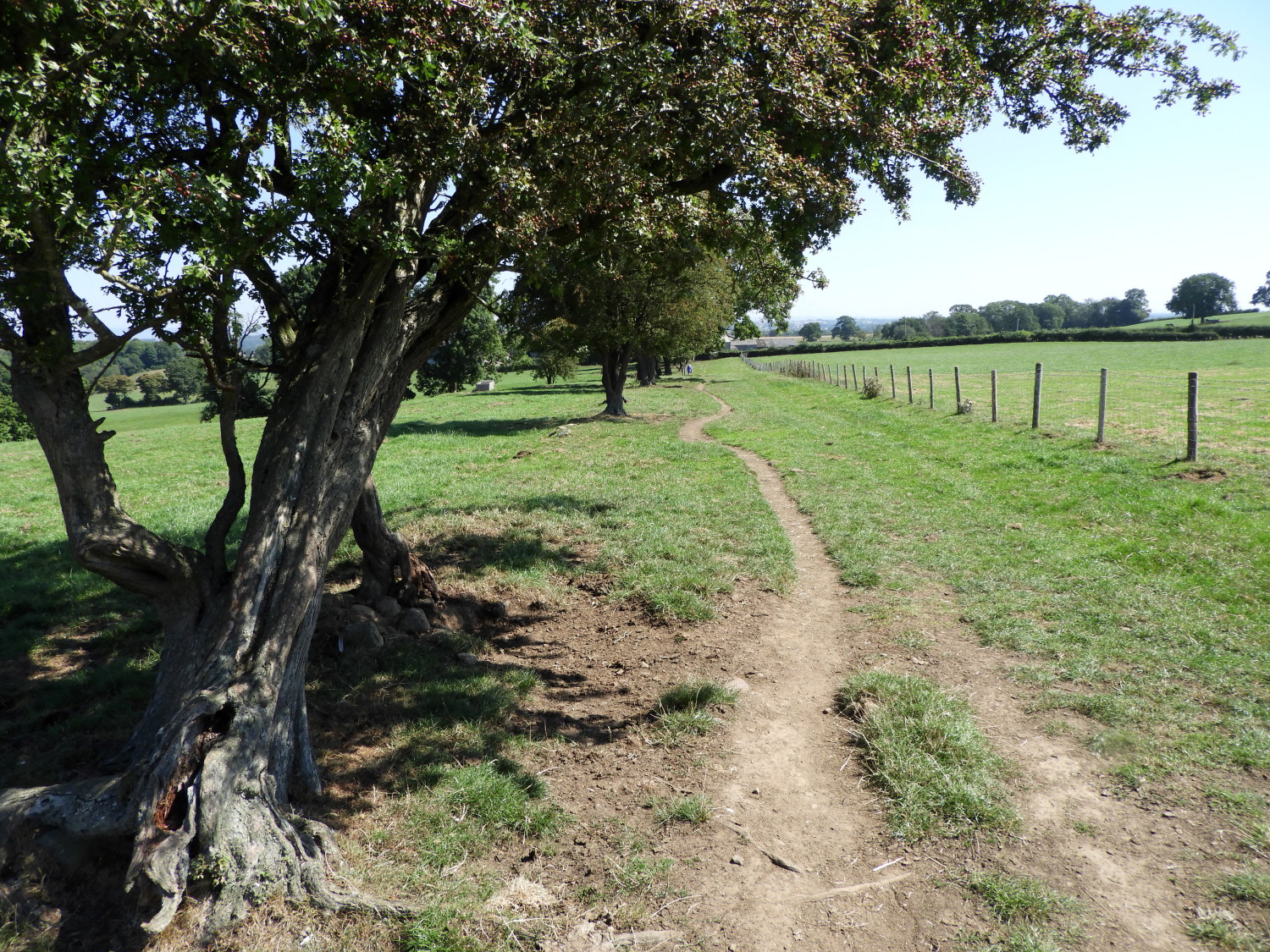 The path leading from Hum Hill
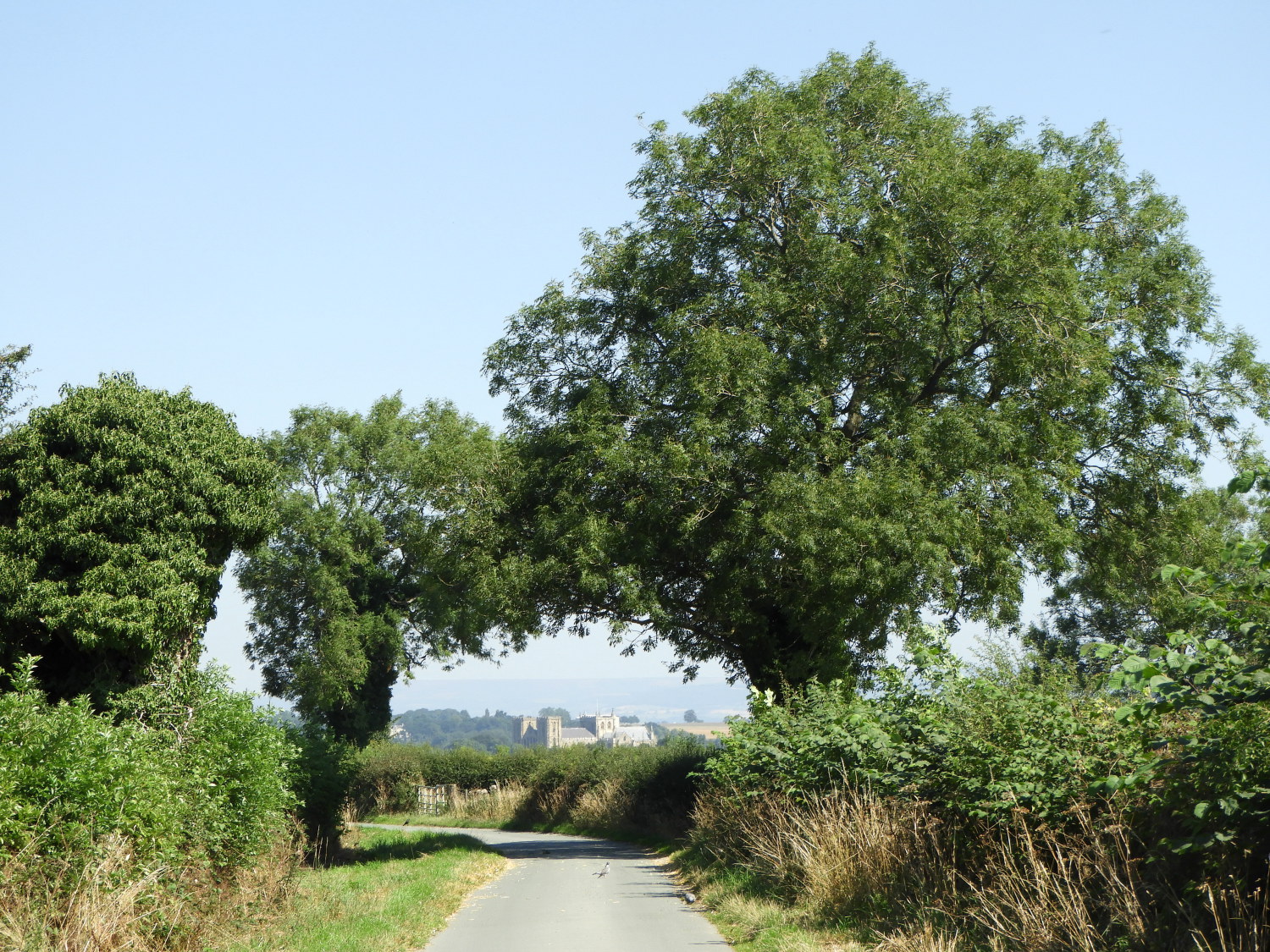
Back on the trail I climbed up the bank from the lake to St Mary's Church, which in its elevated position, has a great and direct sight to Ripon Cathedral. The end point of my walk was now in sight. Heading back down to the River Skell, which I had first come to in Spring Wood, I was surprised to see the bed completely dry for quite an appreciable distance between Studley Park main lake and Chinese Wood, the point where I would leave the riverside and the park to climb a short haul of thirty metres to Hum Hill. Once climbed I had just two miles to go to my finish of the walk. All downhill or flat.
 Whitcliffe Lane
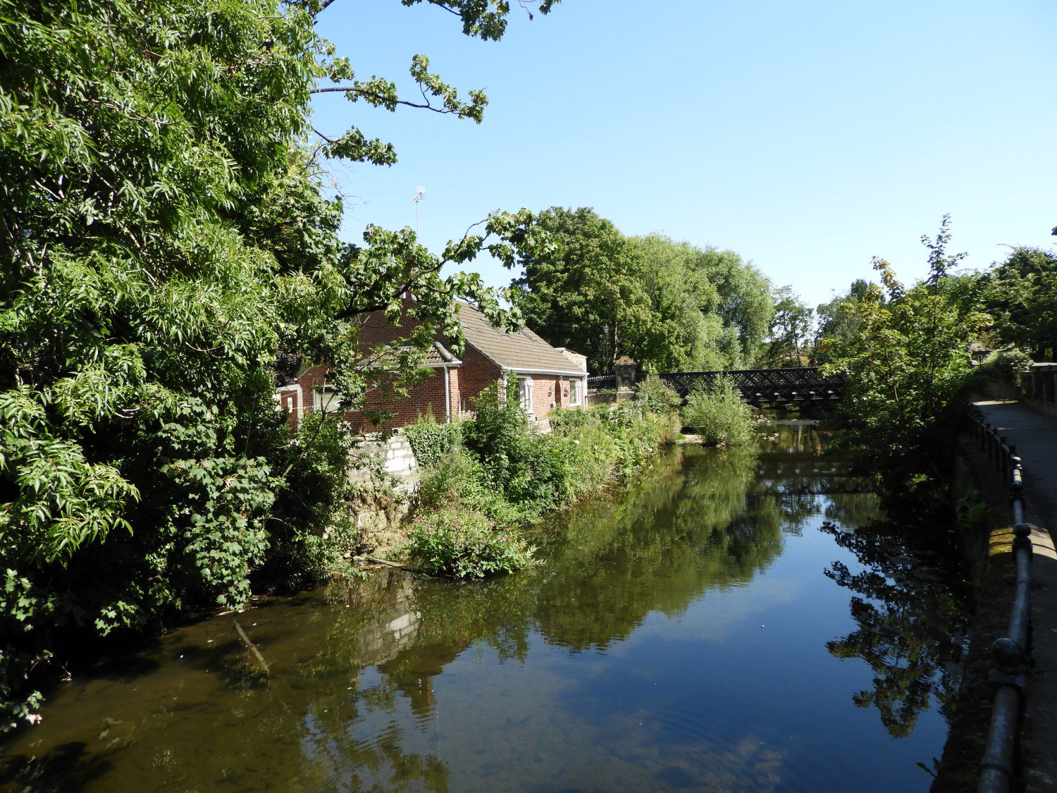 River Skell in Hell Wath Nature Reserve
There was still much enjoyment to be had. So far today I had enjoyed the thrills of Brimham Rocks which I had, in all purposes, to myself. And then I had revelled in the walk of Fountain's Abbey and Studley Royal Park. A glorious walk all on its own. Now I walked down Whitcliffe Lane towards the city of Ripon, leaving it to skip through Whitcliffe Wood Nature Reserve and soon after Hell Wath Nature Reserve. What a great final approach to the city of Ripon. It was not the first time I was enjoying this treat, having made the exact same walk in reverse some years earlier. It was every bit as good as I remembered.
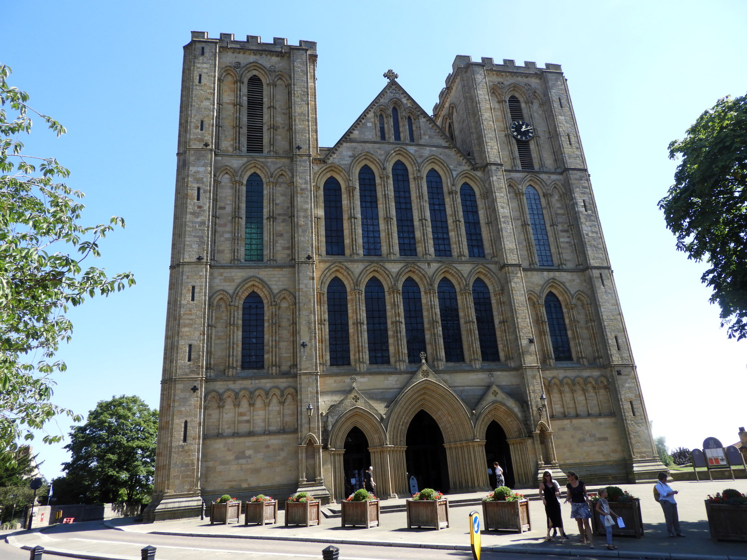 Ripon Cathedral
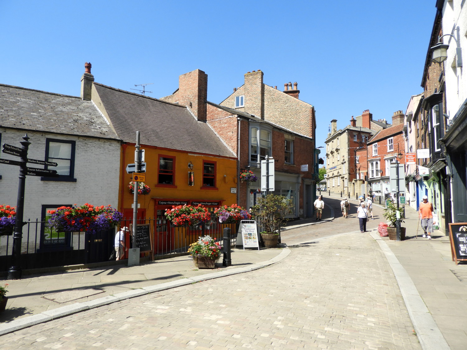 Kirkgate, Ripon
And then, all of a sudden, I was out of the woods and nature reserves, following a tarmac way along the River Skell past the famous buildings of T and R Wilson Limited Varnish and Enamel Works, established 1775, keeping company with the river a hundred yards or so before leaving it and climbing along the road to Ripon Cathedral. My deed was done, my journey complete. Highlights of the forty two mile of Yorkshire Heritage Way? Too many to mention in a short summary but limiting it to three a day, here goes. Day one: Salt's Mills, Shipley Glen and Burley Woodhead Day two: Askwith and Denton Moors, the River Washburn and Guise Cliff. Day Three: Brimham Rocks, Fountain's Abbey and Studley Royal Park and the finale here and now in Ripon. Fantastic.


