The Walking Englishman Walks The Thames Path
A personal record of my walk of the Thames Path National Trail with a written journal and with photographs. Tracklogs for GPS units and for use with Google Earth are available for download for each stage.
Journal, Photographs and Download Files
Stage 3: Radcot Bridge to Swinford Bridge
Google Maps Open Source Maps| Statistics and Files | ||
|---|---|---|
| Start: Radcot Bridge | Finish: Swinford Bridge | Distance: 17.1 miles (27.5 km) |
| Time: 6-8 hours | Climbing: N/A | Rating: Moderate |
| GPX Route File | Google Earth File | About Radcot Bridge |
| Statistics | |
|---|---|
| Start: Radcot Bridge | Finish: Swinford Bridge |
| Distance: 17.1 miles (27.5 km) | Time: 6-8 hours |
| Climbing: N/A | Rating: Moderate |
| GPX Route File | Google Earth File |
Ordnance Survey Explorer Map (1:25,000)
180 Oxford, Witney and Woodstock
The Walk:
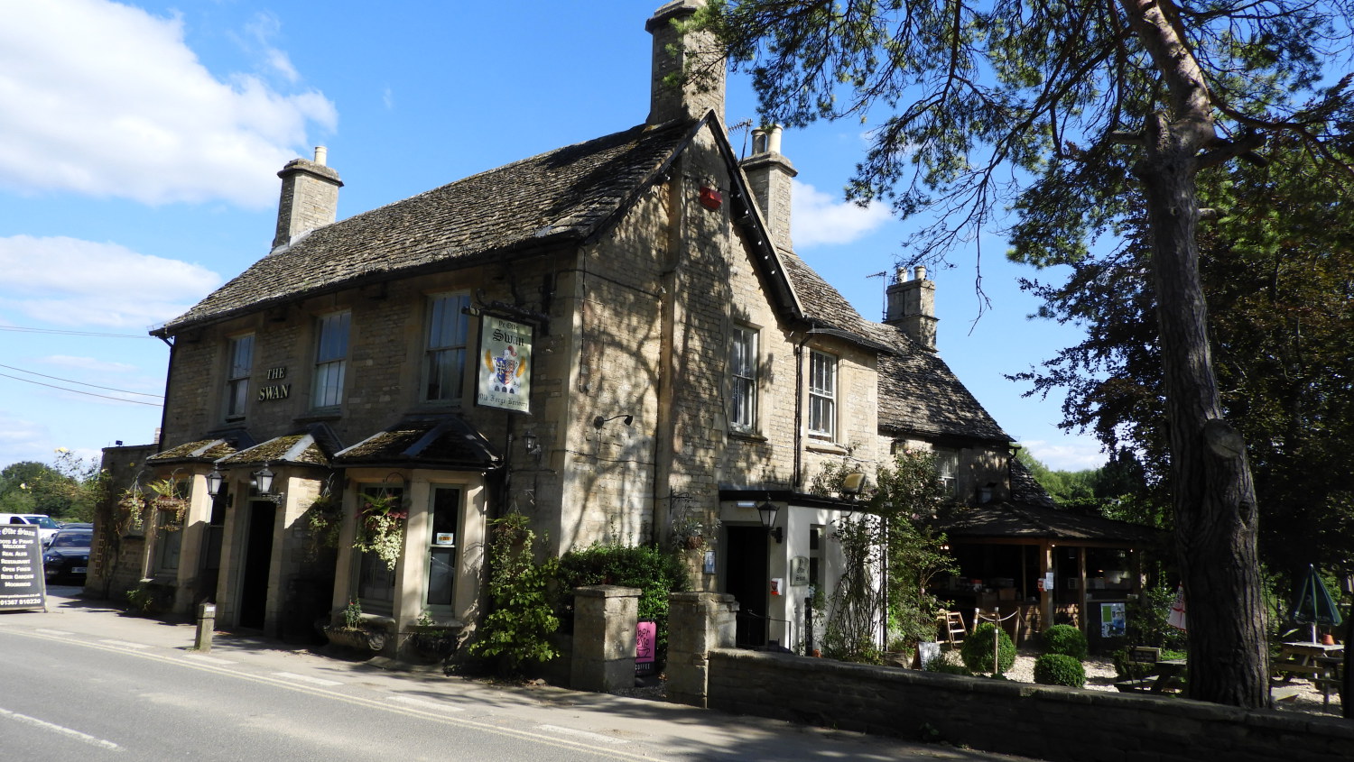 Ye Olde Swan, Radcot Bridge
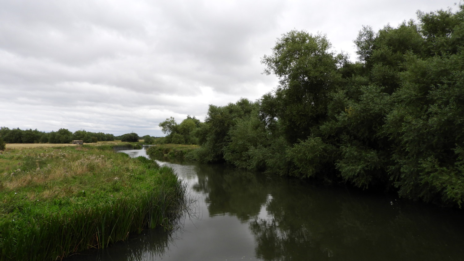 River Thames at Tenfoot Bridge
I have an admission to make. Lack of foresight and pre-planning caused me a problem after finishing at Radcot Bridge yesterday evening. I had booked accommodation in the nearby town of Faringdon, thinking a bus would come eventually. But there was no bus service, the one I thought existed had been closed. Finding that out I tried to book a taxi. But there was no taxi company in Faringdon either. After an hour of trying in vain for bus, taxi, lift, anything I was thwarted. I had to walk three miles along the A4095 Radcot Road. That made for a plus twenty mile day. A good job I was fit. And during the evening I failed to secure a lift back to Radcot Bridge in the morning. Bugger, I was not going to walk back to Radcot Bridge along that tarmac road again and so I worked out a way to get back to the Thames Path by means of permissive footpaths. It was a dilemma and I accepted I would miss a bit of the Thames Path out but at least I would be continuously walking. Which matters to me as a point of long distance walking. Unless I can be delivered back to my exact point of stopping the previous day I must walk all the way. So, I followed paths from Faringdon to the gorgeous village of Buckland and from there back on to the Thames Path at Tenfoot Bridge. Fiddlesticks.
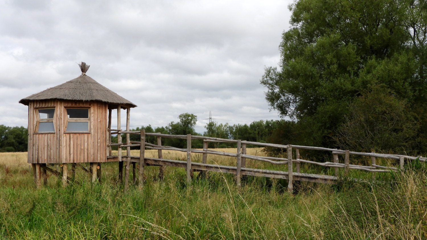 Hide at Chimney Meadows Nature Reserve
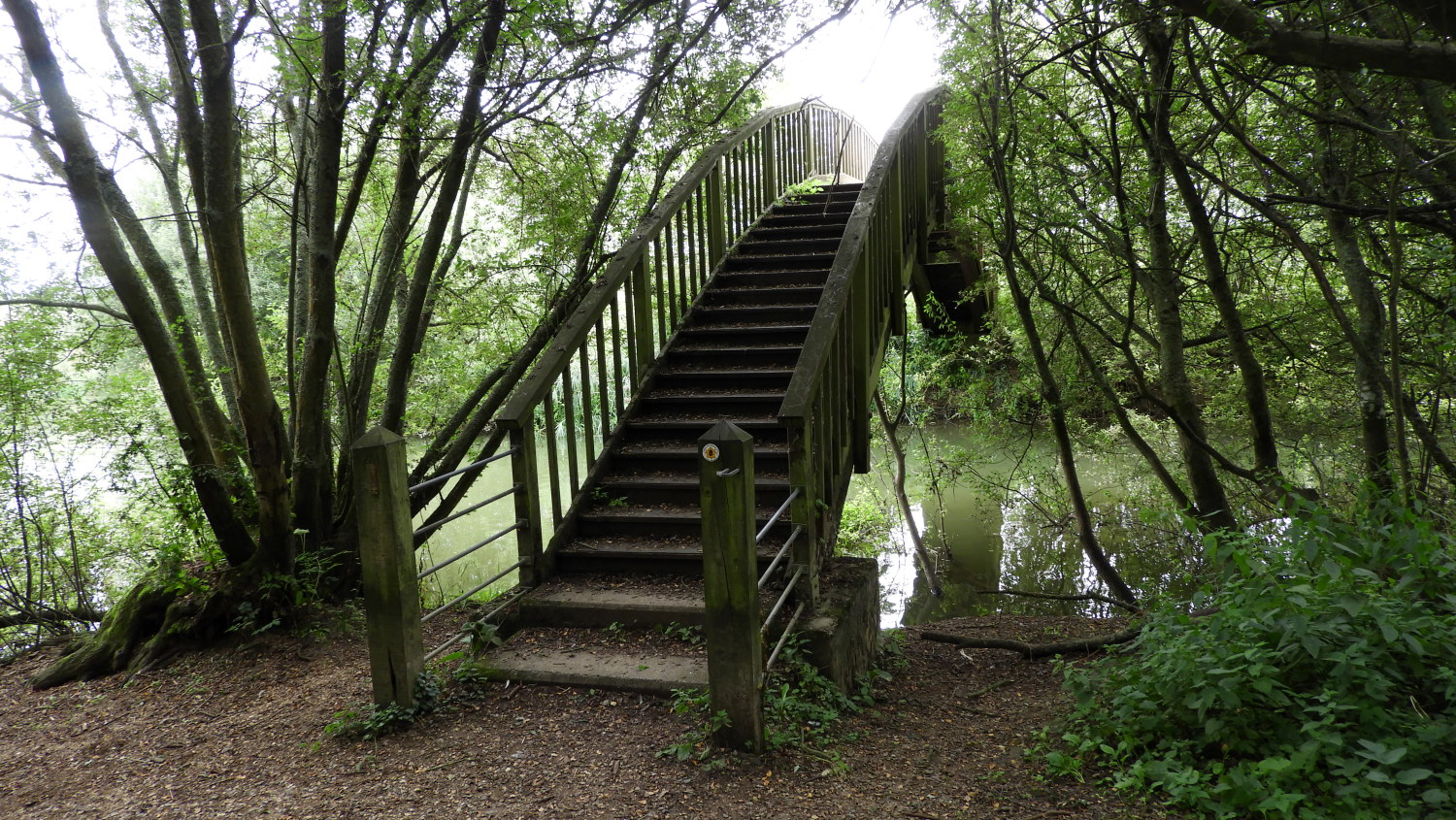 Footbridge at Shifford Lock
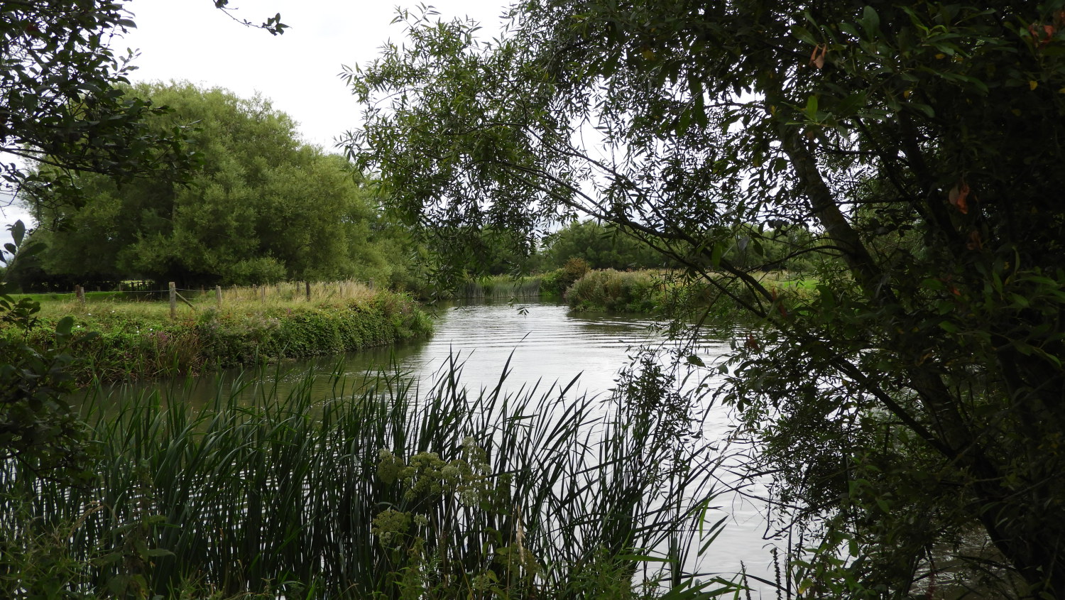
It was a shame to miss out Radcot Lock and Rushey Lock and indeed the intriguingly named Old Man's Bridge which spans the Thames between them but as I said, no way was I walking that busy trafficked road again. Being back on the Thames Path at Tenfoot Bridge meant I had covered five and a half miles in two minutes less than two hours. Good going, particularly as I had lingered for a time admiring the magnificent cream stone houses of Buckland. As with yesterday I had walked apace for the first part of the day, making good progress early on pleases me. I know I will inevitably slow down later, especially as I reach landmarks on the walk. Some I am prepared for. And some I am not. Such as the bird hide at Chimney Meadows Nature Reserve which I came to a mile on from Tenfoot Bridge. An information board told me, if I was lucky, that I could spot Kingfisher, Golden Plover, Curlew, Marbled White Butterfly, Six Spotted Burnet Moth ans many more of nature's delights. It was a shame I did not have time to dwell. Continuing on, following the Thames downstream on a very lovely countryside stretch of the river next led me to Shifford Lock. Just before arriving at the lock I had been obliged to cross Shifford Cut Footbridge at at the lock I had to cross another a second footbridge to continue on towards New Bridge.
 Quiet Thames side countryside
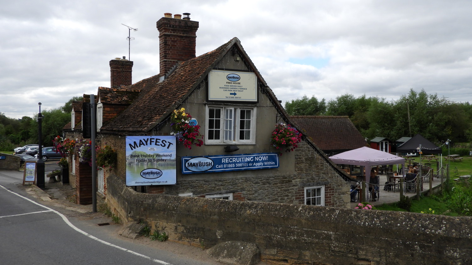 Maybush Pub at New Bridge
The stretch of river from Shifford Lock to New Bridge was sublime, the Thames could not have been prettier. I watched family groups of both Swans and Geese leisurely enjoying going about their business on the water, only interrupted by the odd boat which passed them and me by every so often. However, despite the loveliness of my walk on this part of the walk I did experience some alarm. Walking up a slight incline near the right angle bend on the river near Harrowdown Hill I twinged my right knee. Suddenly I was limping and thinking "Oh damn, this is not good". I limped slowly to New Bridge. In my discomfort I failed to notice the River Windrush flowing into the Thames on the far bank, at a point just before the impressive road bridge. The Windrush is a river I have met and enjoyed before, featuring prominently in one of my favourite Cotswold walks, one starting from Bourton-on-the-Water
 New Bridge spanning the River Thames
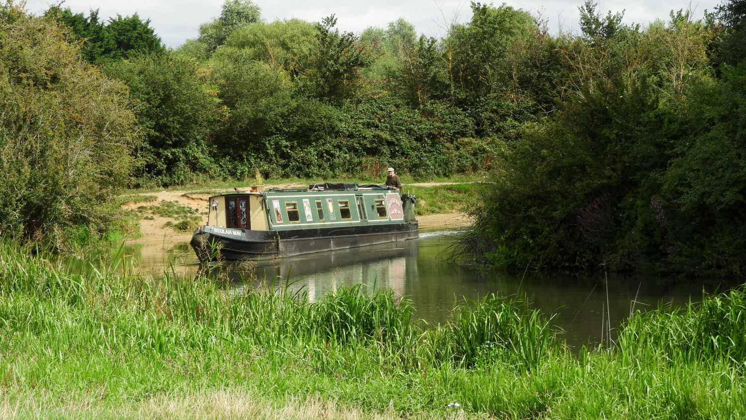 Round the bend
Having crossed the road at New Bridge I took advantage of a vacant wooden leisure boat wharf near the Maybush pub's beer garden to take my lunch. In the hope my knee pain would ease. Relaxing and refueling over fifteen minutes worked wonders. When I got up to walk on, at first gingerly, and then at a steady pace, the pain had gone. "Phew, that was lucky" I thought to myself.
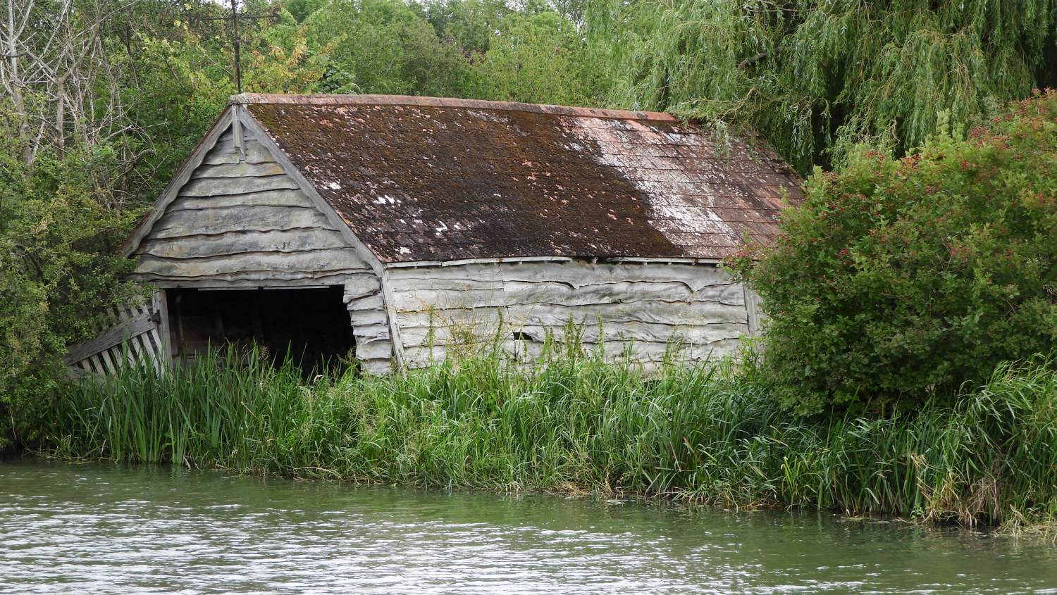 Boathouse in need of TLC
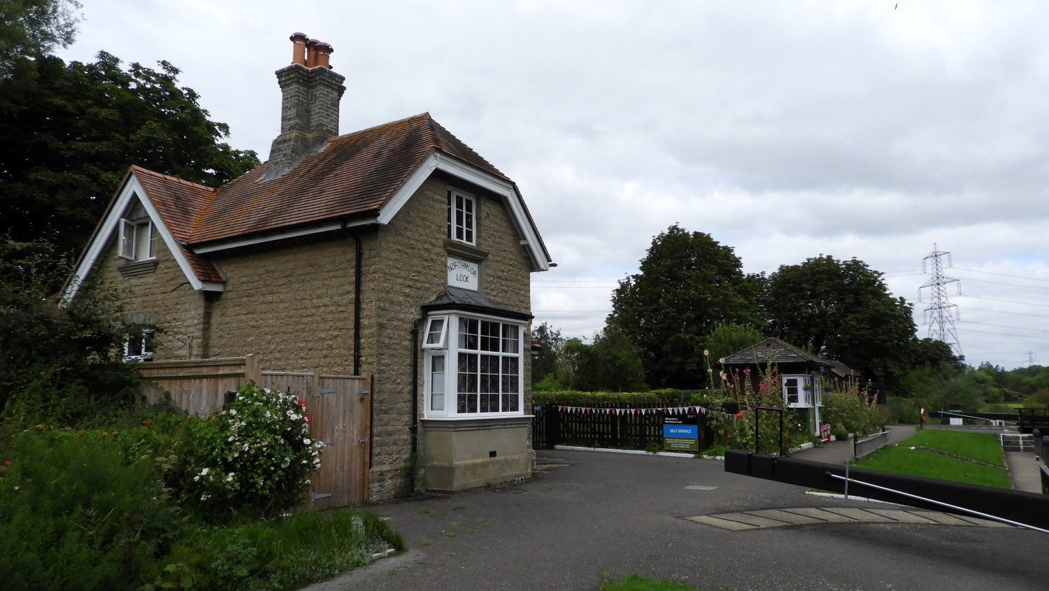 Keeper's House, Northmoor Lock
I had two miles of the quietest countryside to walk from New Bridge to Northmoor Lock, the next point of note on the Thames Path. However in that two miles I passed a number of eye-catching scenes, most notably a series of waterside homes with large waterside gardens and all sporting boathouses in varying states of upkeep. Some were pristine, some neglected. Like the one leaning over and seemingly about to topple over in the picture. I also crossed over a small uncut flower meadow leading directly to the lock. It was full of butterflies fluttering about. Northmoor Lock itself was quiet and still. Not a soul to be seen.
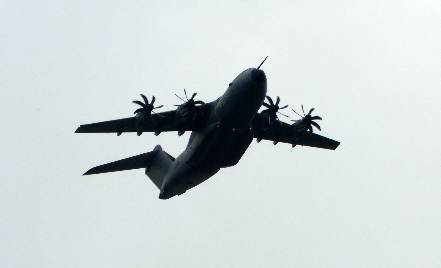 Airbus A400 with curly propellers
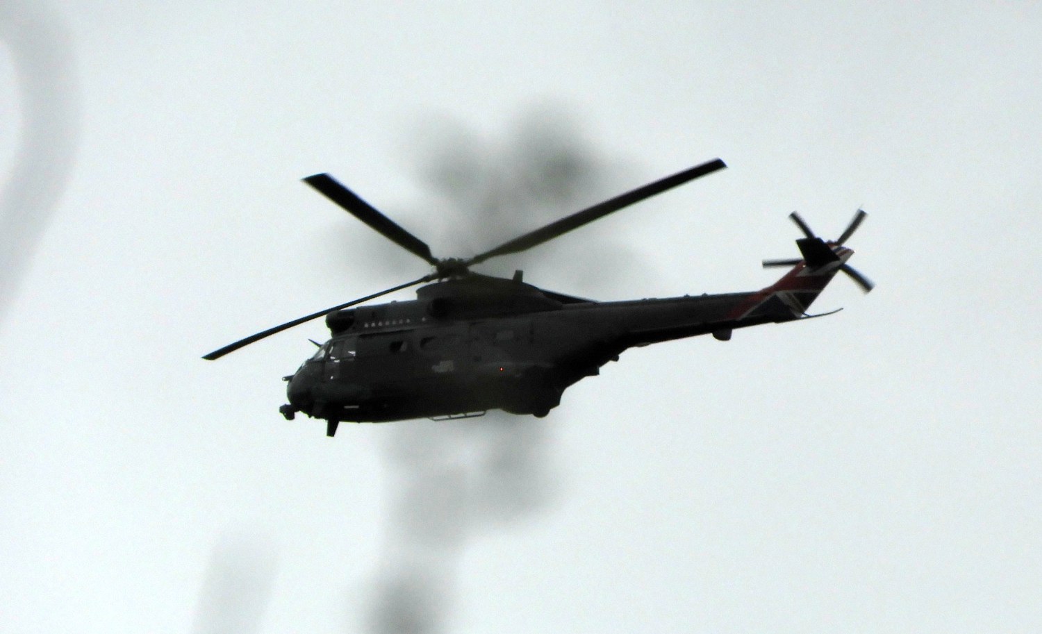 Helicopter over the hedgerow
The peace I had enjoyed from New Bridge to Northmoor Lock was interrupted somewhat on the next phase of my walk to Bablock Hythe. During it I looked up to the sky on more than one occasion to see aircraft flying low overhead. Not civil aircraft but military. A couple of heavy transporters and a couple of helicopters too. I guess they were operating out of Dalton Barracks, a logistics base about three miles away from me to the south-east. After the overhead shows I reached the Ferryman Inn at Bablock Hythe at which point I was led away from the Thames, the path taking me up a tarmac lane past a regimented a quite ugly holiday camp of static caravans. I made haste past the camp.
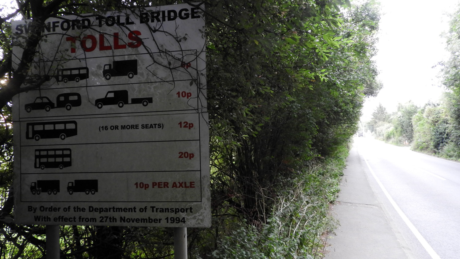 Swinford Bridge Toll Fees
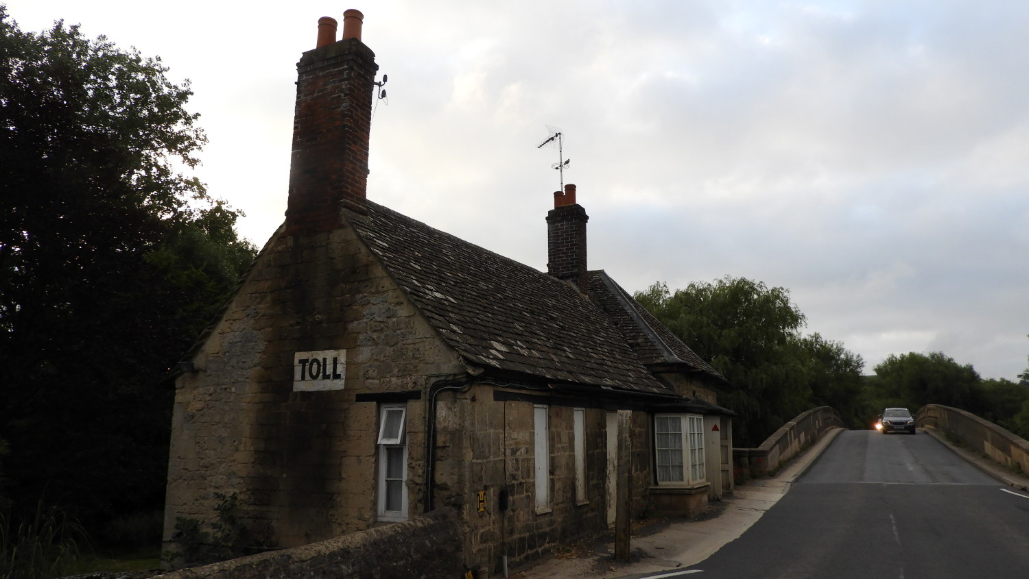 Swinford Bridge Toll House
The final part of this third stage led me primarily in a straight line across fields and then on a path edging the west side of Farmoor Reservoir to Pinkhill Lock. I was getting a bit tired now, stopping at intervals for short rests between miles fifteen and eighteen of my day. However, these last miles saw the Thames Path sharing with the Oxford Green Belt Way and so I could tick off part journey on yet another long distance path. I wondered how many I had now walked in whole or at least in part. It must be well into the hundreds. A pleasing thought for a long distance enthusiast such as myself. That good thought boosted me on the last steps of the stage to Swinford Toll Bridge. Though not the last steps of my day because I had still to walk into the nearby village of Eynsham to find my accommodation. Which by the way was excellent. And I had a good laugh in a local pub with a few eccentric townsfolk too. All in all, a superb day had been had. See you tomorrow.


