Ridgeway National Trail
A personal record of my walk of the Ridgeway National Trail with written journal and photographs. Tracklogs for GPS units and for use with Google Earth are available for download for each stage.
Journal, Photographs and Download Files
Stage 5: East Ilsley to Ashbury
Google Maps Open Source Maps| Statistics and Files | ||
|---|---|---|
| Start: East Ilsley | Finish: Ashbury | Distance: 17.1 miles (27.5 km) |
| Time: 6-8 hours | Climbing: 467 metres | Rating: Hard |
| GPX Route File | Google Earth File | About the Ridgeway |
| Statistics | |
|---|---|
| Start: East Ilsley | Finish: Ashbury |
| Distance: 17.1 miles (27.5 km) | Time: 6-8 hours |
| Climbing: 467 metres | Rating: Hard |
| GPX Route File | Google Earth File |
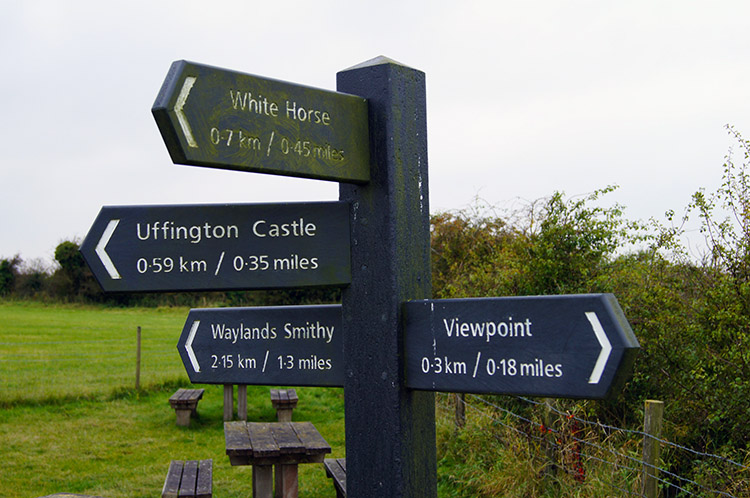
Ordnance Survey Explorer Map (1:25,000)
Summary
This stage of the walk is one of the most interesting of all for historians with ancient burial mounds, hill forts and possibly the most remarkable of England's white horse figures featuring. There is also a monument to a hero of the National Health Service beside the path. The walk at just over 17 miles is never onerous once the height of the Ridgeway path is reached from climbing from West Ilsley to Cuckhamsley Hill. From then on it is a wonderful chalk land roller coaster.Stage Report
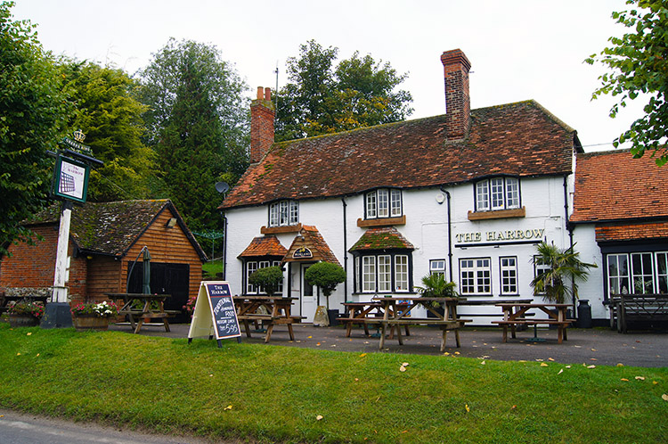 The Harrow, West Ilsley
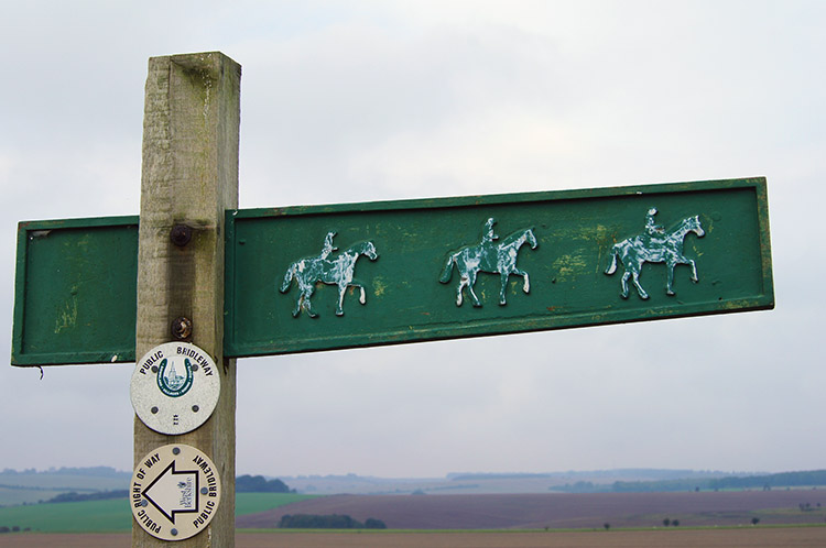 On the gallops
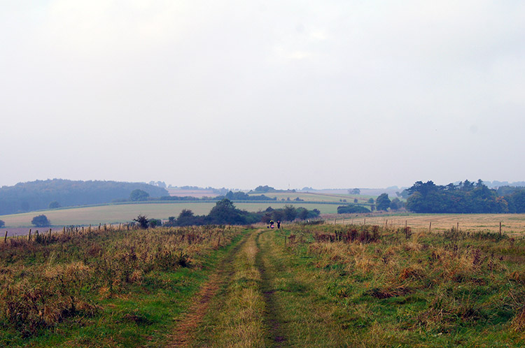
I was excited as I ate a hearty full breakfast in the Swan Inn at East Ilsley. Today was the day when I would visit a number of iron age sites on the ancient Ridgeway and though I had enjoyed the four days from Ivinghoe Beacon to East Ilsley I was now in touch of the sites which had captured my attention when researching the Ridgeway. Before I could visit the first one on the elevated ancient path I had to climb back up there. To achieve that I set off from the Swan and followed the B road to West Ilsley. One point of interest I found along the road between the two villages was a plaque commemorating the racehorse trainer WR (Dick) Hern who trained two Derby winners, Henbit in 1980 and Nashwan in 1989. I remember the races well as both horses were ridden by Willie Carson, my favourite jockey of the time. I was a little disappointed walking through West Ilsley, I had expected a shop where I could get a drink and a sandwich but there were no shops in the village. I would have to manage with the one drink of Lucozade and bar of chocolate I had left over from yesterday until I could restock. Hopefully that would not be too long. Dismissing my disappointment I left the road just after passing the Harrow in east Ilsley and climbed to the Ridgeway by a gallops riding route. As I climbed to the path I passed a couple of ladies out exercising their dogs and bid them a good day. The further I climbed I sensed a day of peaceful walking and big skies.
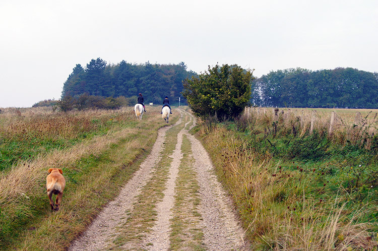 Horse riders near Cuckhamsley Hill
 Scutchamer Knob
It had not seemed long since leaving East Ilsley when I regained the Ridgeway National Trail but I had already covered 3.5 miles. The skies were grey but I was promised it would stay dry and sure enough the grey blanket shielding the blue were relatively thin. I hoped the forecasters were right. Soon after meeting the Ridgeway I was passed by two young riders on white Ponies and almost immediately after them a dog followed in chase. There was no haste though, the dog was theirs and the Ponies were cantering. I watched them move on ahead of me for about two hundred yards but then forgot about them as I came to my first iron age site of the day. Scutchamer Knob, also known as Cuckhamsley Hill is an early Iron Age round barrow. Its origin and intention is not certain but the site surrounded by a copse of trees was really interesting to me. I walked around the site making a full circuit and then contemplated for a minute or two before resuming my Ridgeway journey.
 Downland Villages Riding Route
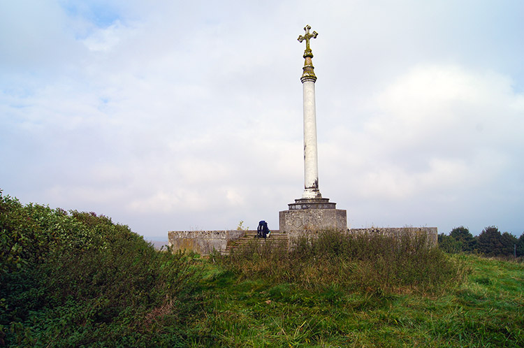 Monument to Robert Loyd-Lindsay
The walking along the Ridgeway was really good. Several puddles were formed in ruts and hollows on the path but they could easily be avoided and so with feet dry I continued at a good pace westwards along the section of the Ridgeway known as Downland Villages Riding Route. As I did so I had a quite peculiar chance meeting. I had seen them coming but as they drew closer I was perplexed by their actions. A lady was running quite briskly and a man with a push chair was keeping pace. Practicing for an event I thought and when they came close enough to pass words. "In training?" I asked. "Yes" they replied but what I had not expected was a toddler strapped into the push chair I hope it stayed upright for them during the training run or tears could have flowed. They continued on at the brisk pace until they were out of sight. Soon afterwards my attention was drawn to a monument standing beside the path. When I reached it I read a very interesting story about a man who inspired a lady with a lamp. The monument is dedicated to Brigadier-General Robert James Loyd-Lindsay, 1st Baron Wantage who was a British soldier during the Crimean War and one of the founders of the British Red Cross. remarkable man with a good heart and one of the nations less known heroes. I am glad the Ridgeway educated me about him.
 Middlehill Down
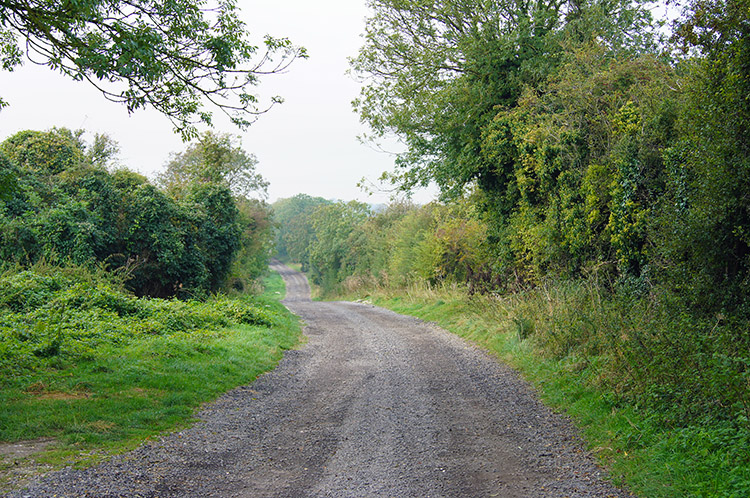 Near Pewit Farm
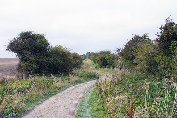
From Robert James Loyd-Lindsay's monument I continued along the Ridgeway past Middlehill Down, Lattin Down and Furzewick Down. I was in complete solitude now and with my elevated height of over 200 metres as I walked along the very old path the skies looked very big indeed. Looking into the hollows below the path with vast fields either side further enhanced the feeling of isolation. I was alone and I was loving it. In most parts the path was open to view on either side but on the occasions I passed close to farms and buildings of any type hedges sprung up and closed me in such as the walk past Pewit Farm.
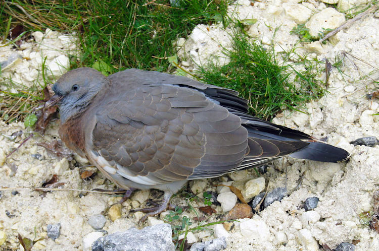 Flagging pigeon on the Ridgeway
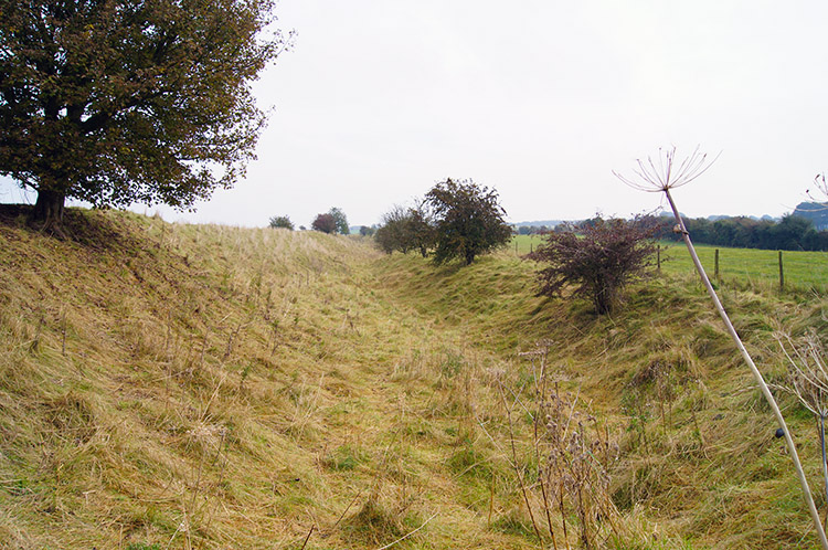 Outer ditch of Segsbury Camp/ Letcombe Castle
After Pewit Farm came White House Farm and then Black Bushes Farm. Only at the third of three did I see any people, a lady in a people carrier delivering provisions to the farm occupants. After Black Bushes Farm I reached the A338 at a point called Manor Road. I immediately crossed. After passing an old and probably infirm Pigeon which made no attempt to flee as I walked by I came to my second iron age site of the day, this one much larger than the last. I had reached Segsbury Camp also known as Letcombe Castle, a large hill fort in an elevated position overlooking the land to the north.
 The bank of of Segsbury Camp/ Letcombe Castle
 Segsbury Camp/ Letcombe Castle
A permissive path led my straight into the heart of the fort. From the northern edge I could see straight down into Wantage and Letcombe Regis. It is clear why the fort was sited here with a great view overlooking all stirrings going on below. However if a raid came from the east, south or west then less time the occupants of the fort would have had to prepare a defence. Question is - did they need to? Learned historians cannot say assertively but as is now there was always strength in numbers and this fort will have supported many an iron age family.
 Ridgeway near Letcombe Bassett
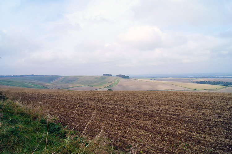 Devil's Punchbowl
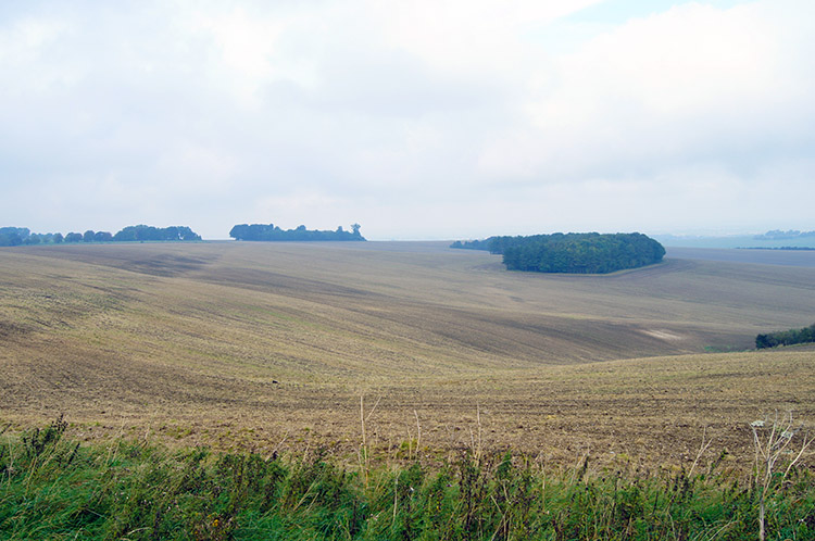
From Segsbury Camp I continued on my lonely contemplative walk with big skies continuing to keep me company. The mid October day had brightened without threatening to break out in sunshine as I walked. I looked at the map and scanned for the next point of interest. Devil's Punchbowl close to Warren Down and Hackpen Hill stood out on the map. It turned out to be a large dry valley to the north, much like many of the dry valleys to the north of the path.
 Sparsholt Firs
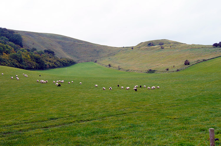 Dragon Hill
After the mild disappointment of Devil's Puchbowl, I had expected more, I walked to the B4001 at Sparsholt Firs. Still no sign of refreshments on the route, this road crossing had been my last chance, and I was now teetering a bit having walked almost 12 miles. I had to stop and take the drink and chocolate break. I walked a little way further on the track from Sparsholt Firs to Rubblepit Plantation and found a nook by the side of the Ridgeway to sit and take my break. I drank the Lucozade and sucked the chocolate bar to take every bit of flavour from it. Wow, how lovely it was - when you have little to eat you savour every bit you can. And it did revive me for the push towards White Horse Hill and Uffington Castle. It was two miles of Ridgeway from my refreshment stop to where I would leave the Ridgeway and descend to Dragon Hill and with topped energy I paced along past Rams Hill towards the horse. I descended on the path to Dragon Hill hoping to catch sight of it and though Dragon Hill was the shelter to a lovely natural amphitheater bowl I could not see it. I searched on by following Dragonhill Road.
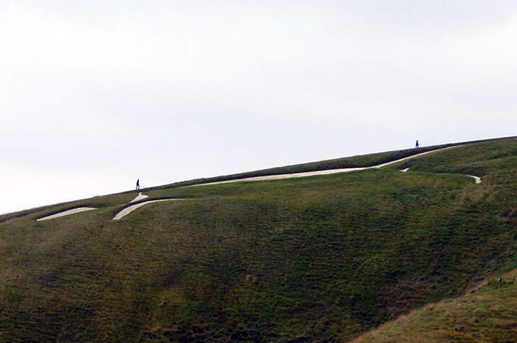 White Horse of Uffington
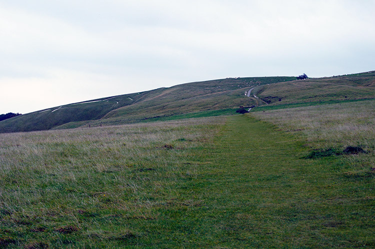 Climbing to Uffington Castle
And then on climbing Dragonhill Road I saw it, the famous and most remarkable of all the chalk horse figures in England. The White Horse of Uffington. I was told that the best view is undoubtedly from the air or at ground level from about 1 mile to the North. I could not face walking further away and being promised the view from Dragon hill is not bad I contented myself with it though to see it all I would have needed stilts. I could imagine as I stood close to it, the feeling was immense anyway. From Dragonhill Road I climbed to Uffington Castle, like Segsbury Camp an iron age hill fort. It was a raised mound and I personally thought Segsbury Camp more impressive. I toured the castle then walked on my way.
 Way post of history at Uffington
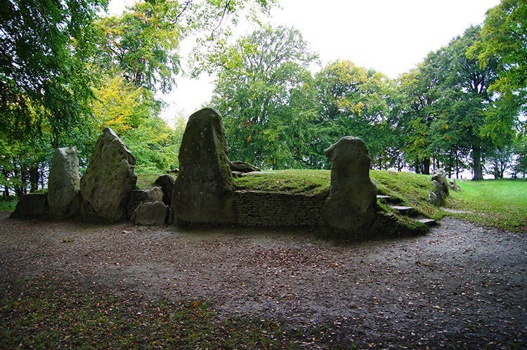 Wayland's Smithy
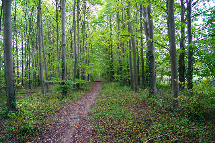
With a burial mound, two hill forts and the most remarkable white horse figure in England already seen on my walk today I could well have been satisfied on a fine walk done but though I did not know it yet the best was to come. One more ancient site was ahead of me on the map, a place known as Wayland's Smithy. This one was not iron age though, it was Neolithic. I walked along a tree lined section of Ridgeway before reaching a gate which led off the path towards it. As I did so I sensed something completely different to what I had seen before. Apart from Scutchamer Knob the other iron age sites had been on open ground. Wayland's Smithy was surrounded by mature trees. When I reached the site I was awestruck.
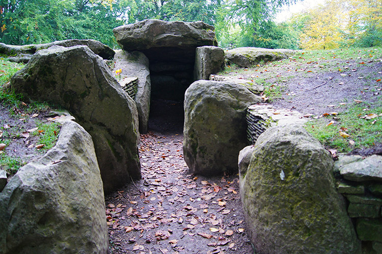 Entrance to the tomb of Wayland's Smithy
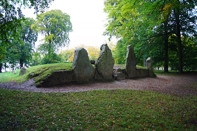 Wayland's Smithy from the north side
The sight inside the perimeter of trees was awesome. Immediately ahead of me were four large standing stones and in the centre an entrance to a chamber surrounded by smaller but still significant stones. The whole site around the stones was a raised mound of earth and rather than defiling the tomb by entering the sacred ground which was beyond the entrance I walked around the long barrow to find more large raised stones at the rear. I stopped plenty of times as I circumnavigated Wayland's Smithy. I had seen other long barrows and burial mounds before in places as far part as Northern Scotland and South West England but as I stood looking at the whole scene I thought this the best ever. The long barrow was superb in itself but the tree surround of the entire perimeter made it special. I thought "How brilliant I have been here. This will take some beating". I stayed a little longer - respect to those who are honoured by the building of this place. Phenomenal.
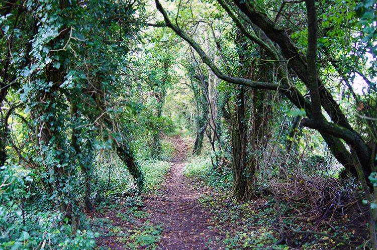
 Through the trees near Wayland's Smithy
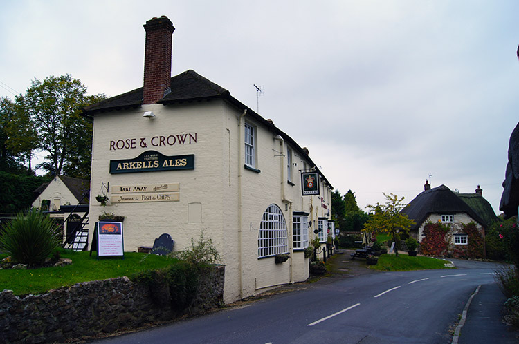 Rose and Crown, Ashbury
It was with great reluctance that I left Wayland's Smithy. I kept looking back as I did so, a very slow departure. Even when I had got back into walking on the Ridgeway I was still thinking about the eternal beauty of the place and I knew then I would never forget. I came to a path running through a wood running adjacent to the Ridgeway and followed it through the greenery until it ended and I returned to the chalk road which I soon left by walking down the road to my accommodation at the Rose and Crown in Ashbury. No one was home so I sat outside on a bench for 30 minutes until the tenant arrived. I spent the time thinking about the superb day I had just enjoyed walking. How could the coming days better it?


